An Interesting Development

Thursday, July 29th, was another travel day. BUT, first Magic had to get another bath. It seems like once a week – like it or not. And, it is ALWAYS needed!! We are getting pretty good at it by now, though, and have it down to about an hour. Of course, that is without Elizabeth getting on the roof to get all the grime from up there;-)

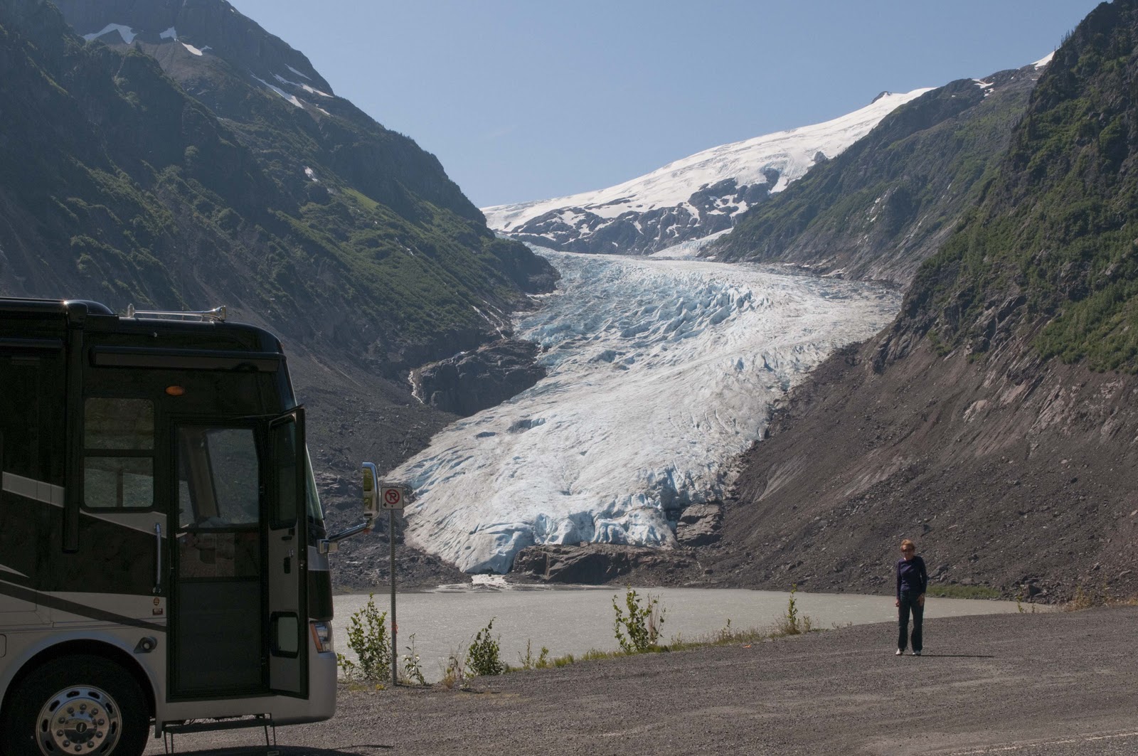
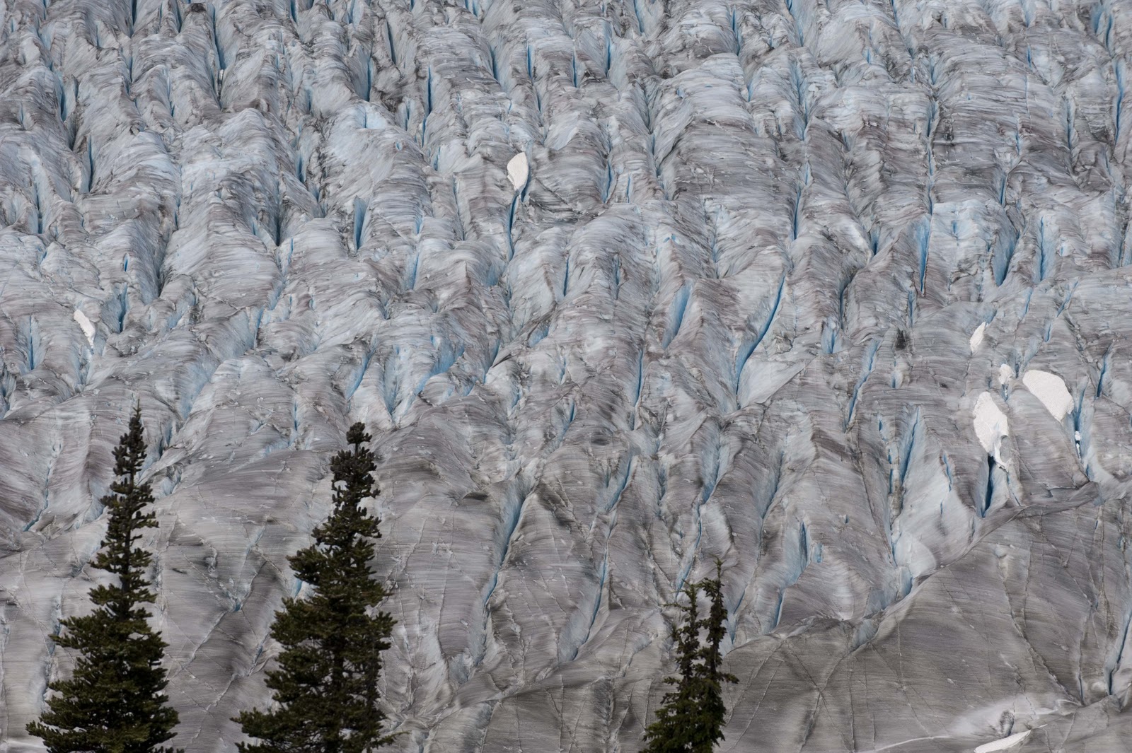
By 9AM we were on our way. First photo stop was a repeat – Bear Glacier. Only this morning the lighting was very different as the clouds/fog shrouded the surrounding mountains and cast different shadows – making the blue ice really blue.
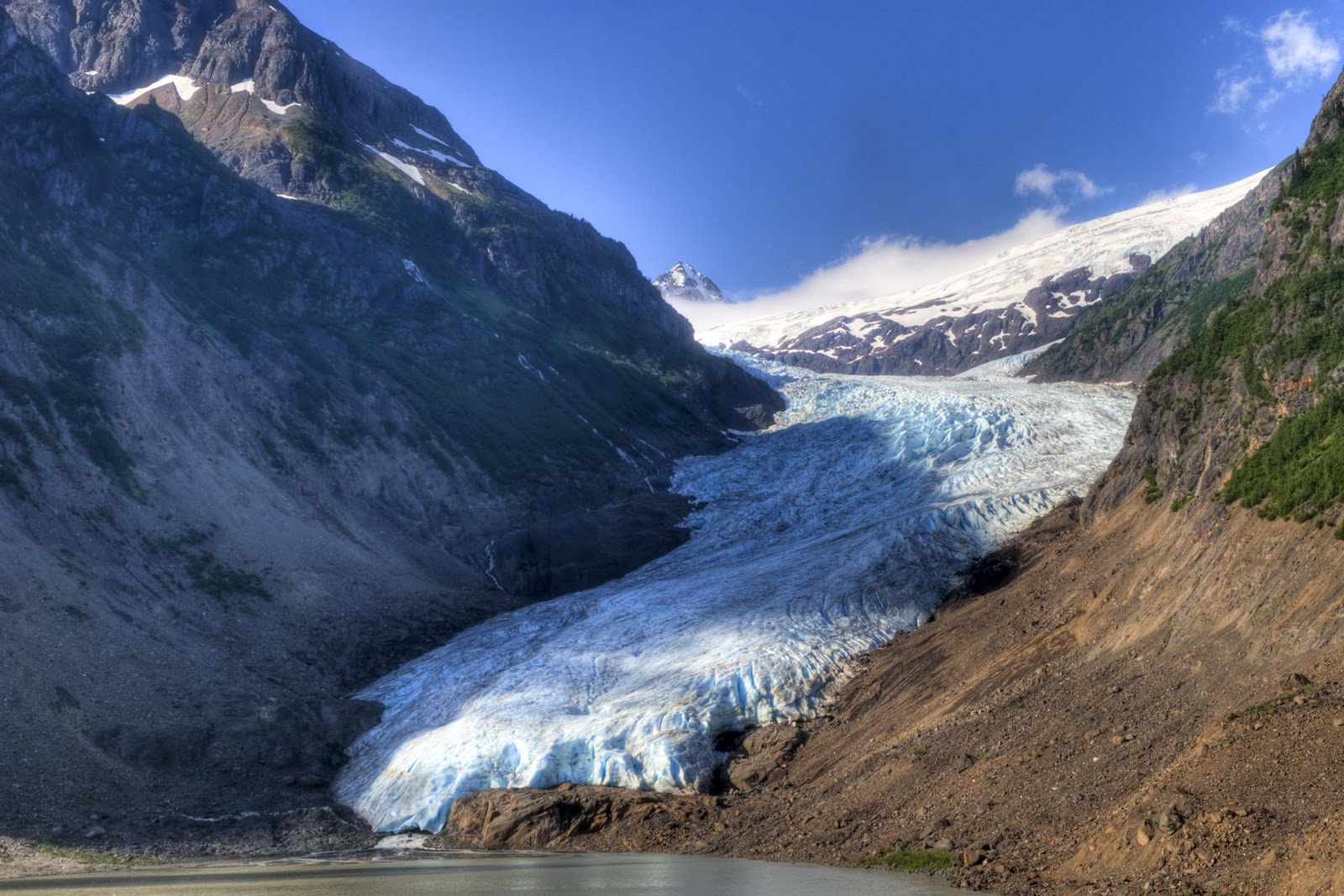
The Bear Glacier not too far outside Stewart, BC.

Before long, the Junction of 37A and 37 North (to Alaska), the Cassiar Highway, was in front of us. The Cassiar Highway was mentioned in the last posting as scenic, good for seeing wildlife and, VERY importantly – the connection from the Yellowhead Highway to the Alaska Highway. More on this just a little later.

The morning was beautiful – no wind, no rain, no traffic, lots of beautiful scenery in the likes of flowers, mountains, more glaciers – AND, a few animals –
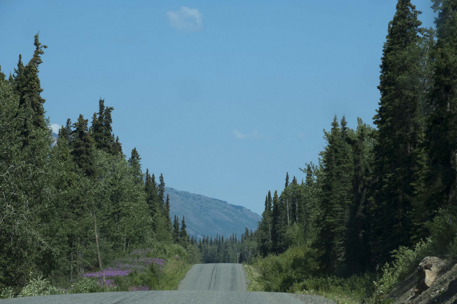
Heading north on the Cassiar Highway

No particular destination was sought – just traveled down the road following the Bell Irving River until something looked intriguing. One thing about this area – the thriving metro areas – the BIG dots on the map – consist of one building which serves as the General Store/gas station/post office – AND, if it is a really BIG stop the same building also contains an ‘Inn’ and cafe/restaurant;-) Generally if there is an ‘Inn’ there is also an RV/Campground. (Inn is a little kind – therefore the ‘ ‘ .) The Bell II Lodge looked charming in the pictures, offered four-star accommodations, great food and campsites for RV’s so thought that might be a destination. Not sure where they took the picture for the brochure?? We did top off the tank, though, and thought perhaps their lunch fare would keep us around. Didn’t do it for us – SO, we were movin‘ on down the Cassiar Highway. Lunch was productive, however, as we learned of a forrest fire north on the Cassiar just below where it connects to the Alaska Highway (our ultimate destination on the Cassiar) and the fire had caused the closure of the road. There were still several days before we got this far up the highway, but, decided it was something we needed to keep track of;-(
The role of the RR has shown up on several of our postings – and, around here the telegraph line also played an important role. Born of the Klondke Gold Rush of 1898, the 1,900 mile Dominion Telegraph Line linked Dawson City (way up north in the Yukon Territory) with Vancouver via the CPR wires. Built in 1899-1901, the line blazed a route across the vast northern section of the BC Province but gave way to radio communications in the 1930’s. Today, some of the trail provides road beds (for some of the very roads we are traveling on) and some of the cabins used by the isolated telegraphers still serve wilderness travelers. Parts of the Cassiar Highway are benefactors of this trail.

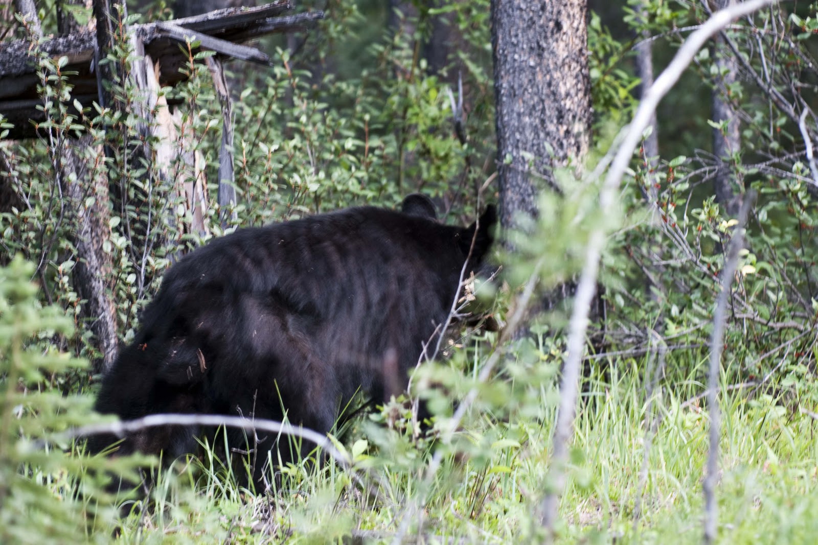
The Highway also passes through the Iskut burn, where fire destroyed 78,000 acres in 1958. More than 50 years later the trunks of some of the burned trees are still standing!! So – how long DOES it take for the forrest to regenerate after a fire????? This area is also British Columbia’s largest huckleberry patch;-) Which may account for our bear sightings –
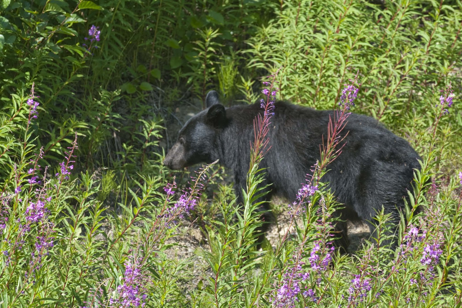
We spotted this bear along the roadside. It didn’t waste any time heading for the bushes.


The next BIG dot on the highway was Tatogga Lake, which boasts the Historic Tatogga Lake Resort. Despite ALL the amenities (restaurant, souvenirs, gas, diesel, RV sites with hookups and wifi), they didn’t have a laundry, which was an essential at this stop. SO – on up the Cassiar Highway to Iskut with a population of 283. Here the Red Goat Lodge on the Eddontenajon Lake was calling – it had wifi AND a laundry!! It also had a fabulous view, which is a good thing and that’s all there is to say here –
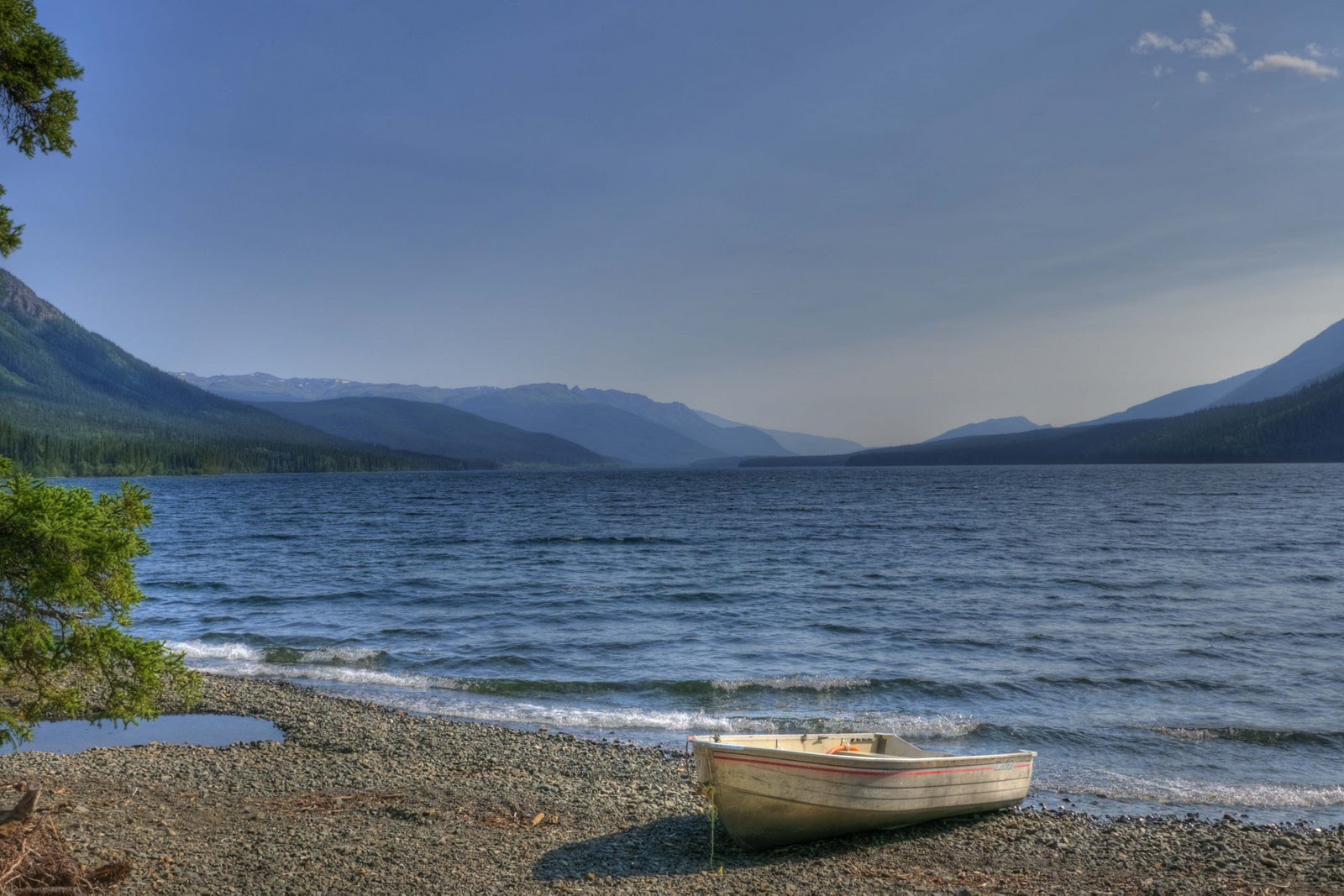
We had this awesome view from our campsite at the Red Goat in Iskut.
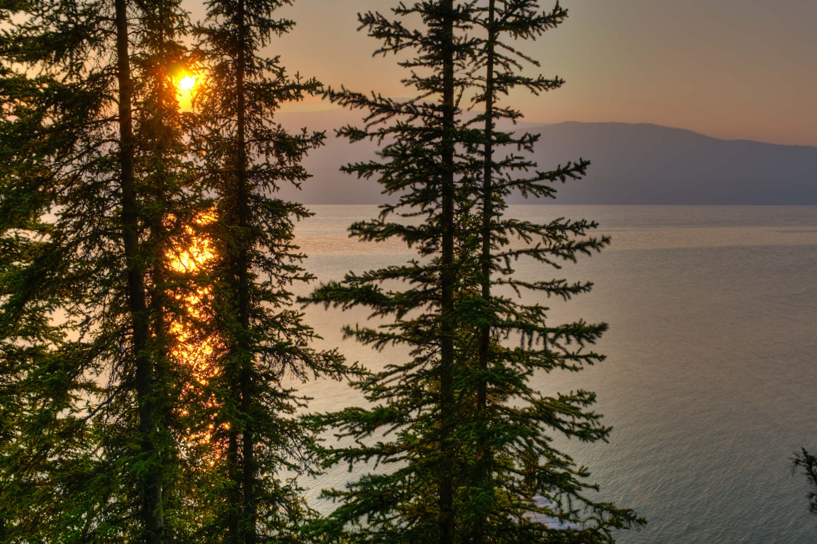
The forest fire smoke created some interesting colors that evening.
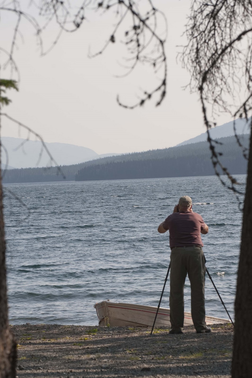
Our intrepid photographer hard at work. Work, you say? Bulls**t!

Gary decided he could only take ONE day of the Red Goat – so we packed up and progressed another 50 miles, which took us about 2.5 hours, on Friday. “Why 2.5 hours??” you might ask. It seems that perhaps we hit some of that road we were warned about –
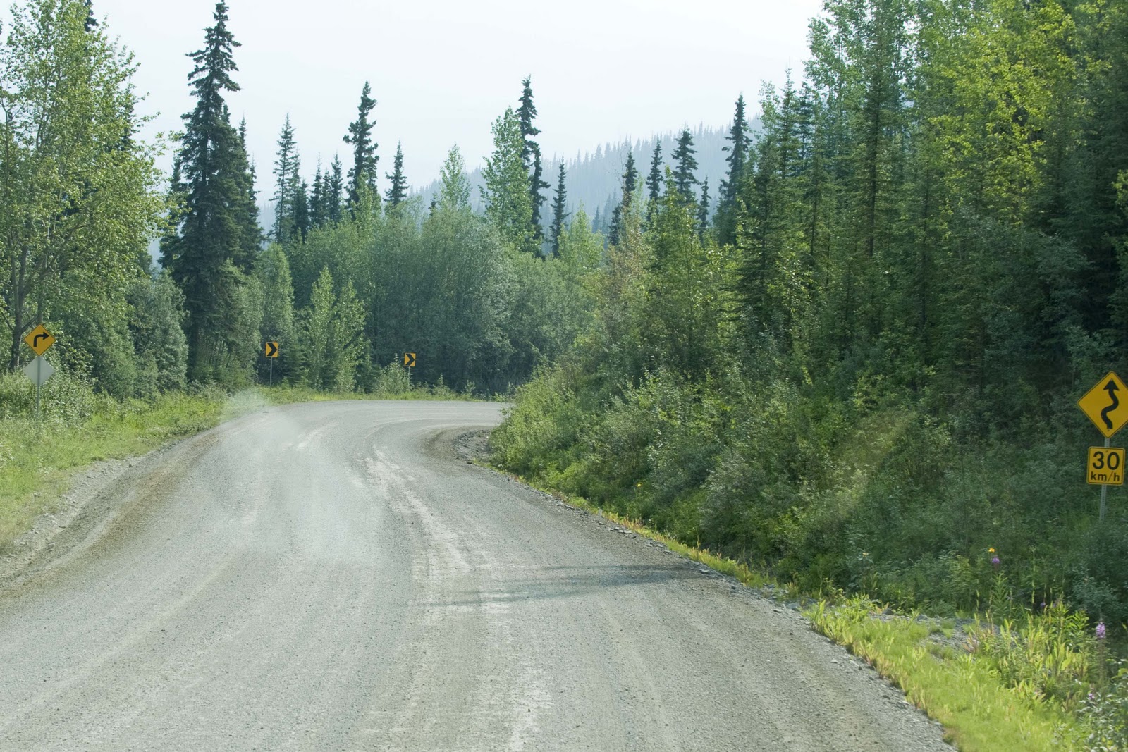
The Iskut views be damned.  I couldn’t wait to leave the campground so we continued north
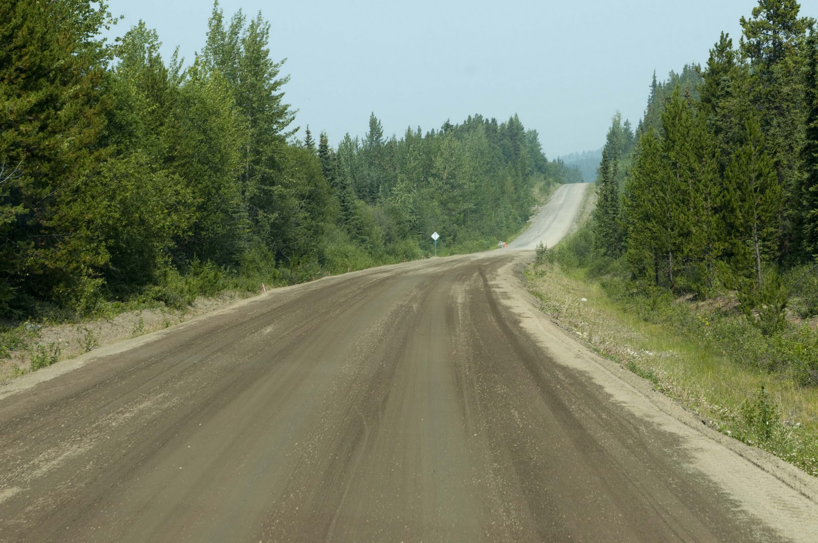
on the Cassiar Hwy and ran into some of the rougher roads we were warned to expect.

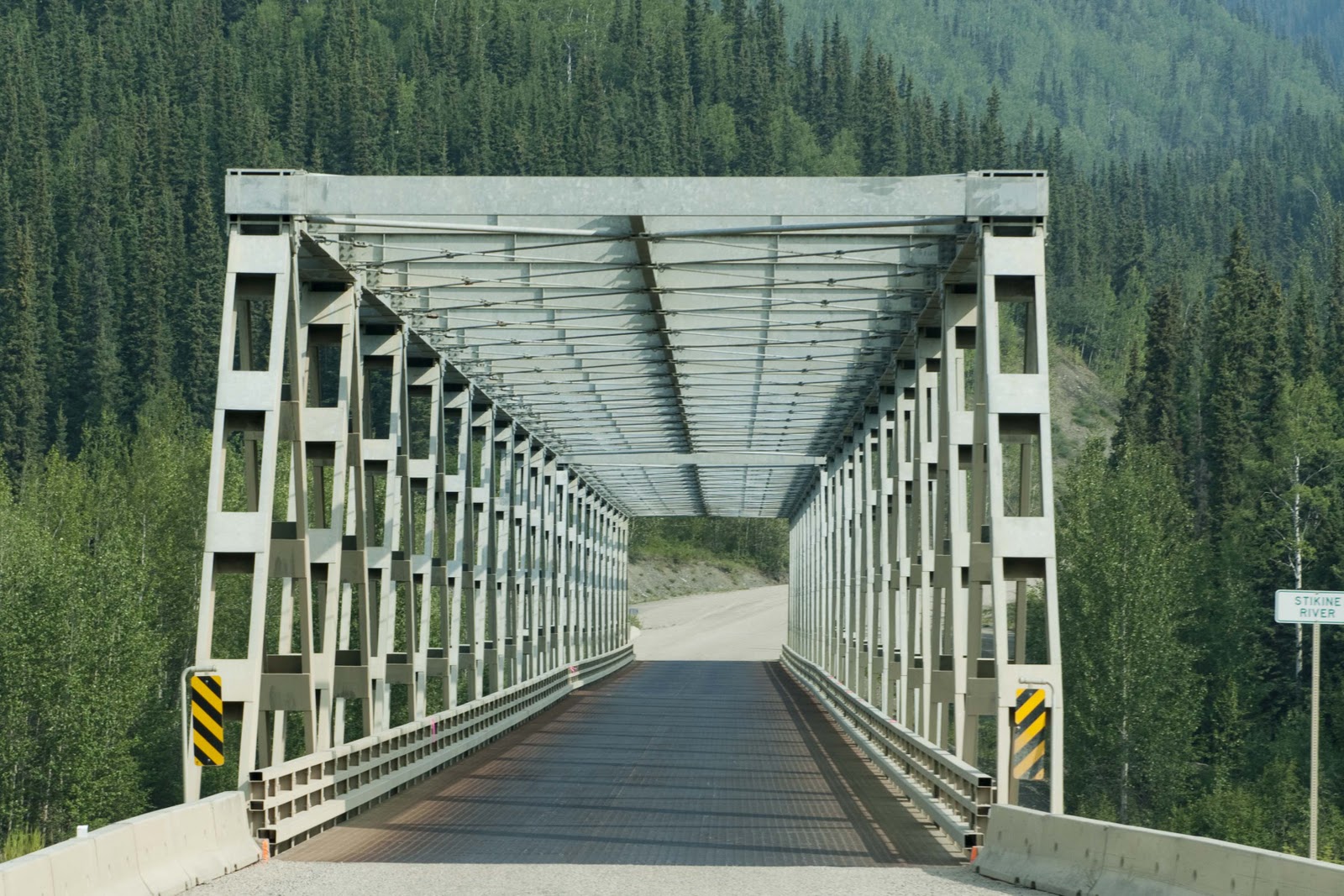
Not sure we have ever seen a bridge this square before.
Good thing we didn’t meet someone coming the other way.

A little mud…a little smoke.

Dease Lake was the target today – the end of three weeks on the road!!

On the southern end of town one can see the Arctic/Pacific Divide. Here the Tanzilla River, to the south of Dease Lake, is a main tributary of the Stikine river, which runs into the Pacific Ocean. Dease Lake, north of town, empties into the Dease and Liard Rivers, and ultimately spills into the Arctic Ocean. This unique point, where water flows in different directions, is called the Arctic/Pacific Divide. Much like the area encountered on the Icefields Highway where the watershed was in three directions – to the Pacific, Atlantic and Arctic!!

Dease Lake became yet another Hudson’s Bay Co. post in 1837, and the town was named after the company’s chief factor – Peter Warren Dease. The Dease Lake region was the site of two major gold rushes – one in 1864 and one in 1873. Laketon, on the west side of the lake, was a center for boat building during the Cassiar gold rush of 1872-80. In 1874, William Moore, following an old Indian trail, cut a trail from Telegraph Creek (a Tahltan/First Nations commuity) on the Stikine River to the gold rush settlement on Dease Lake – this was the beginning of a failed attempt to build a telegraph line linking North America to Europe!! The trail became Telegraph Creek Road, which was used in 1941 to haul supplies for Alaska Highway construction. Today, Dease Lake (population 450) is a government center and supply point for the district. We wandered just north of town and found the Water’s Edge Campground on the shores of Dease Lake. Don’t know why, but for some reason it just reminds me of the “Song of Hiawatha” by Henry Wadsworth Longfellow –
“By the shore of Gitchie Gumee,
By the shining Big-Sea-Water,
At the doorway of his wigwam,
In the pleasant Summer morning,
Hiawatha stood and waited.”

Either that – or “On Golden Pond” (or both). It is a beautiful setting to just sit – read – and enjoy the view –
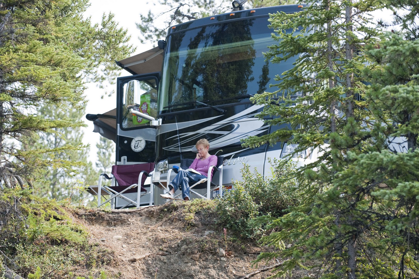
Our reading room on Dease Lake for the next couple of days.
The Waters Edge campground is very nicely maintained and we even have an internet
connection until they turn their generator off at night.
The view of the sun setting from Magic’s picture window.
AND – we could be here a while. As mentioned in the discussion of our lunch at Bell II, we learned of a forrest fire to the north which had caused a road closure. Actually, not just a road closure – the closure of the Cassiar Highway just below its junction with the Alaska Highway – our destination!! Reports are put out daily at 8AM, 11AM and 4PM about the road closure – ie, still closed or not. There is no discussion of possible opening. Yesterday at lunch this was a new event – BUT, word was spreading quickly. By today – this is all everyone was talking about at every stop!!! Apparently there is quite a line-up of cars/trucks/RV’s where the road is closed. Which is not helping the fire fighting effort there. The closure is actually about 100 miles north of our current campground – but, there is a blockade here at Dease Lake warning of the closure. To understand how big a deal this is here – a description/picture of the roads is in order. During the past week, we have traveled from Prince George – 300 miles west on the Yellowhead Highway to the Cassiar Highway where we turned north and have traveled about 300 miles. So – we are now about 150 miles from the Junction with the Alaska Highway via the Cassiar Highway (the left vertical line).
Junction w/Alaska Hwy
X – – — – – – – – 540 miles
I I– – — – – – – – – – -I
😉 We are here I- – – – — – – – –
450 miles ^ Cassiar Hwy Fort St. John
I X
^ I
I I
X – – – – – – – – I 250 miles
Kitwanga Jct l – – – -< – — – < —–< ——–I   I
300 miles                        I I
Yellowhead Hwy I – – –<- — X
Prince George
If the road to our north does not open, the only way to the Alaska Highway at the same point is to go back from whence we came;-(.  Back down the Cassiar Hwy, across the Yellowhead Highway to Prince George, north to Fort St. John, which will take us north to the Alaska Highway!! BUT, that is 1390 miles instead of 150;-(((!!! *$****##***!!!! We have a few days and have every intention of waiting out the fire. Hope it cooperates!! Unfortunately, we are now meeting up in the campgrounds with those who do not have the luxury of time – and they are having a difficult time trying to figure out what to do. It will take at least 2-3 days (in a car – not an RV! Would take us a good week.) to drive all the way around – and the Cassiar could be open by then. But, sitting and waiting is difficult. We are happy to have such a beautiful setting to wait in – and all at $20 a day, with WiFi!! Of course, the WiFi means we get to post all this wonderful information for you before we take off for Saturday’s activity – which is investigating that gnarly Telegraph Creek Road mentioned above;-).

Hope the weather and the fire cooperate over the next day or two or you will get a LOT of pictures of our lake view here at Dease Lake!! Hope all is well back in the lower 48 –

Our Love to All – E & G

North to Alaska


North to Alaska – at least that is what the sign told us – and our destination was the combined community of Stewart and Hyder at the end of the 37A highway, which is literally “the end of the road”.

Going North the Rush is On (compliments to Johnny Horton).

This is the point where one makes a decision – west to the Pacific or north to Alaska – and we are NORTH on the Cassiar Highway. All the literature talks about the outstanding scenery and good wildlife viewing on the highway. The scenery was fantastic – even the one lane wood bridges –

On the Cassier Hwy. We got our share of mosquitos on the windshield, but there are plenty more waiting for us.

The wildlife was non-existent, except the first sighting of the salmon swimming upstream to spawn.

Salmon working their way upstream.

There was also the first really up close and personal view of a glacier – Bear Glacier – on this leg of the journey. Imagine that not all that many years ago this glacier came clear across the lake to the road where we are standing and only two years ago it came all the way down to the lake!!


A quick stop to check out the Bear Glacier.

Finally – Stewart and Hyder –

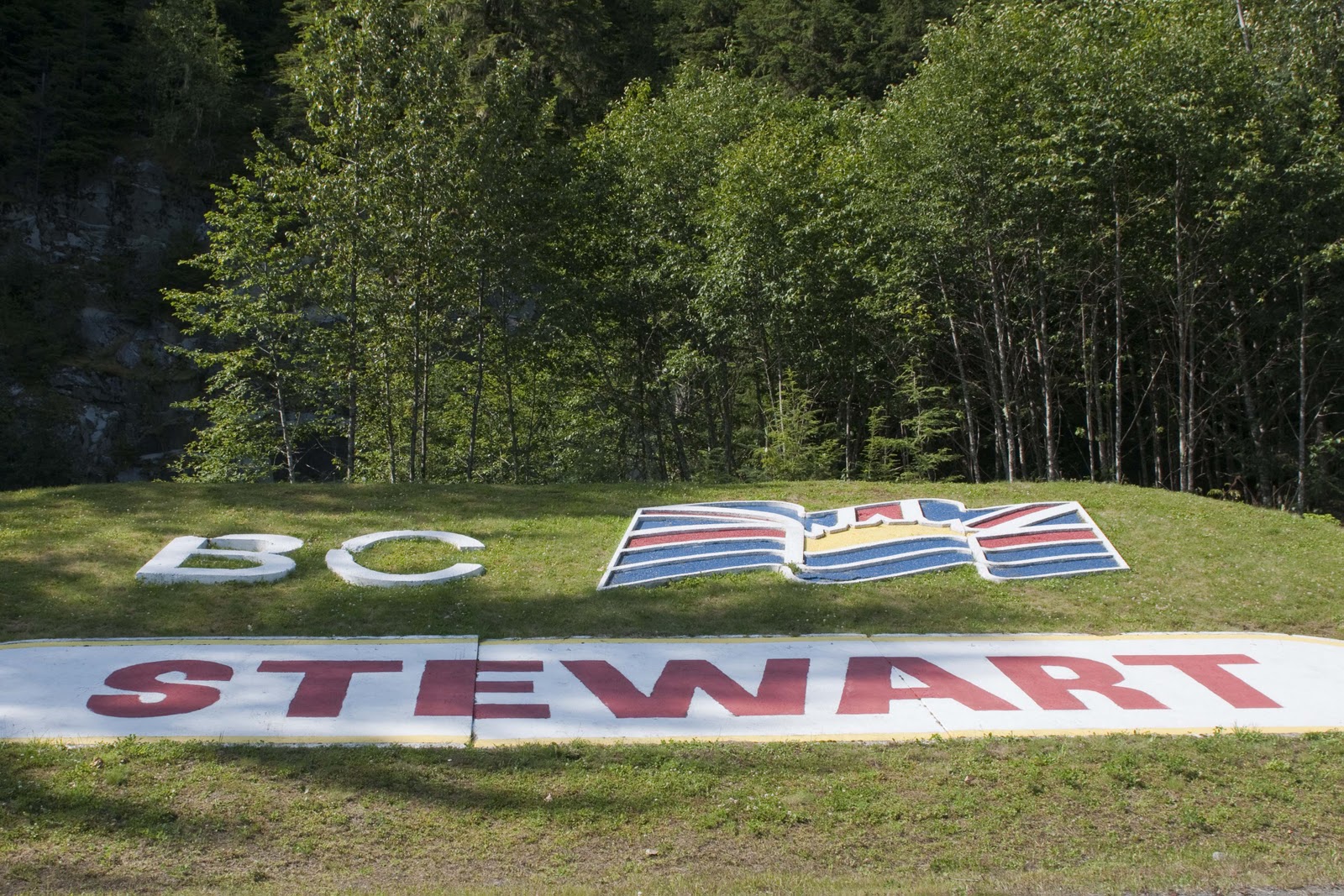
Stewart BC continues the elaborate welcome sign trend.
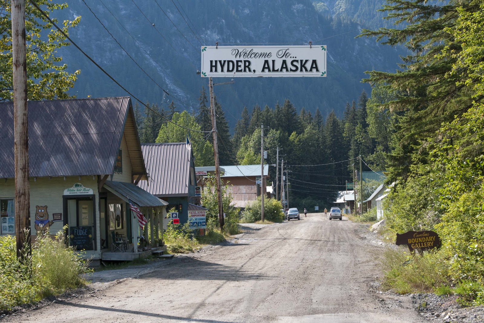
No big sign for Hyder. Oh yeah, were back in the US for a bit.

Believe me – these pictures do them justice!!


This is how the area sets up – you drive into (and through) Stewart, BC, around the port to Hyder, which is just across the ‘border’ in Alaska, USA. As you can see from the picture above, the street turns to dirt as you cross the border – and Hyder is truly ‘the end of the road’!


Stewart sits at the head of the Portland Canal making it Canada’s most northerly ice-free port. Hyder bills itself as the friendliest little ghost town in Alaska. One passes fairly freely back and forth across the border, which you do several times a day if you are staying in Stewart. This is because just beyond Hyder is Fish Creek – known for watching grizzly and black bears feed on salmon during the season and just beyond Fish Creek is Salmon Glacier (but you pass back into Canada to get there) and is Canada’s largest glacier accessible by road.


So – on our day in Stewart – Hyder we were off to Salmon Glacier and Fish Creek. We took the road from Hyder, which begins at sea level in the US and follows the Salmon River to its birthplace – the Salmon Glacier – 4,300 ft. up in the alpine across the border in Canada. Of course, we pass that marker at the 49th parallel that marks the boundary between the US and Canada. (You might remember the very long explanation about this when we visited Waterton last fall.)


Canada/US border marker.

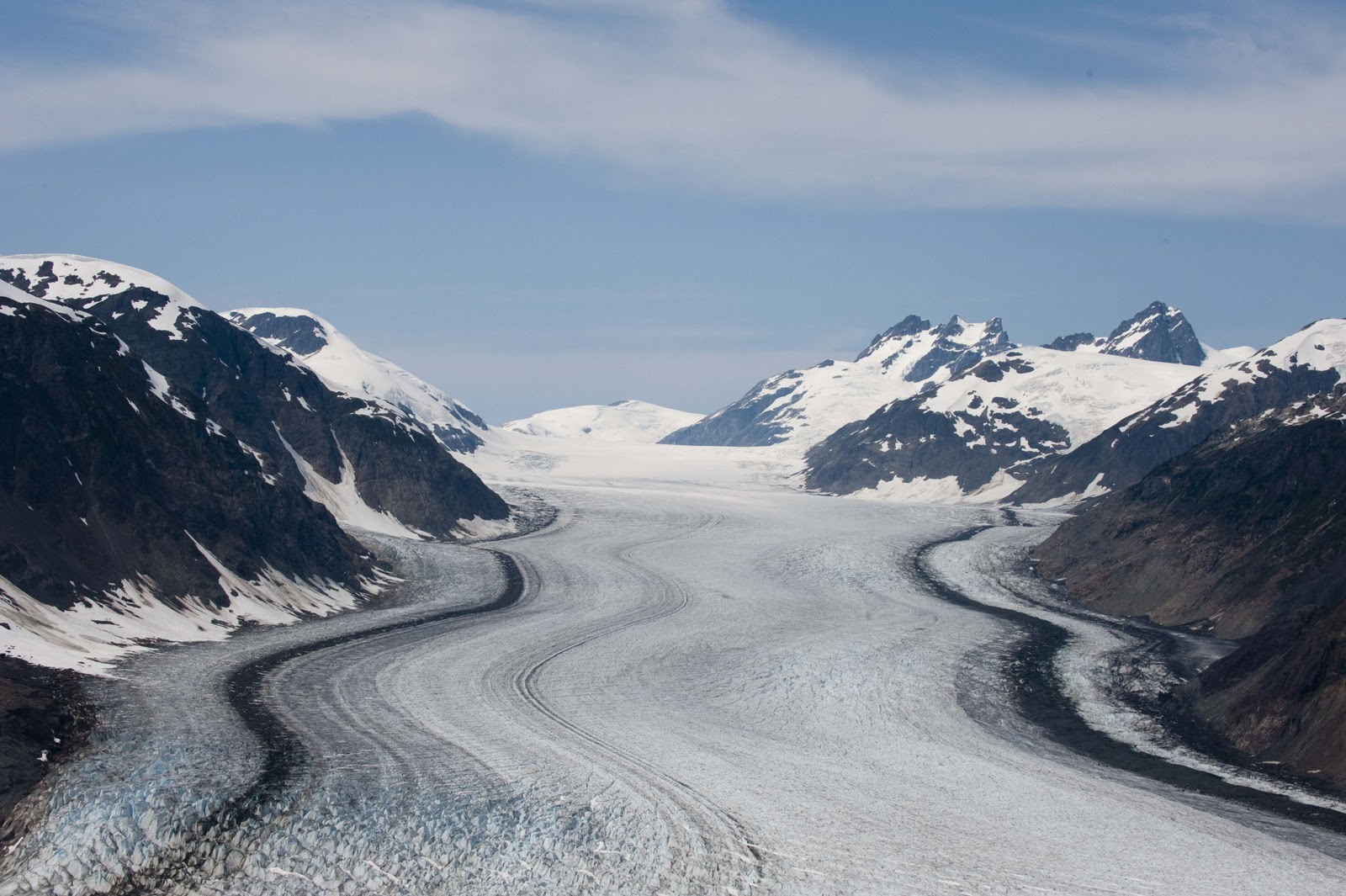
The Salmon Glacier is huge – the fifth largest glacier in North America. The blue color (due to the lack of oxygen in the ice) is so vibrant and the fissures are many and huge.

Salmon Glacier. Amazing.
A little closer look at the Salmon Glacier.


Next stop – Fish Creek to view bears;-)

The bear observation platform. The bears were real scarce.
This eagle took a brief break from lunch for this shot.

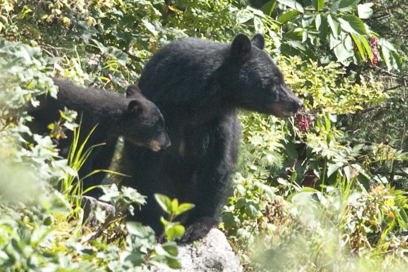
Mom and cub from about 100 yards.

Tomorrow is another travel day – and we don’t know where we will end the day????


Keep you posted when we have an internet connection again –


Love to All – E & G


NOT Much Motivation

OK – so here is another day.


Not sure we showed you our new campsite at Telkwa – but, here it is –

A view from our campsite in Telkwa, BC

Again, we had BIG plans for this Monday – a bike ride, a walk down Main Street in Smithers, maybe a hike in the afternoon, check out the golf course, etc, etc, etc. Know how much we got to???? Let’s just say it was a VERY lazy day. We both so enjoy the view out our ‘living room picture window’ that we spent most of the morning mesmerized by the flowing river (which is about like watching a fire). Not sure what reduces us to ‘couch potatoes’ the most – the sight or the sound of the rushing water.


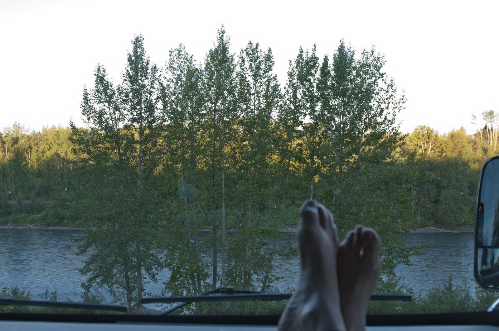
A room with a view. (If you can see past G’s BIG feet)

Around 11 we finally drug ourselves to Smithers – Telkwa’s ‘sister’ town. Smithers is another RR town which came into being in 1913 – as a construction crew site for the Grand Trunk Pacific Railway – and is named for one-time chairman of the railway, A.W. Smithers. Smithers is like a smaller version of Park City. It has a population of about 5,000 and sits amidst rugged mountains crowned by the monumental presence of Hudson Bay Mountain and its popular ski area. Its red-bricked Main Street is graced by alpine-flavored architecture and murals celebrating the Bulkley Valley landscapes and alpine themes. There’s even an alpenhorn player statue welcoming all to Main St.


Main Street, Smithers, BC, with the conductor sticking out of the KBUS on the left.

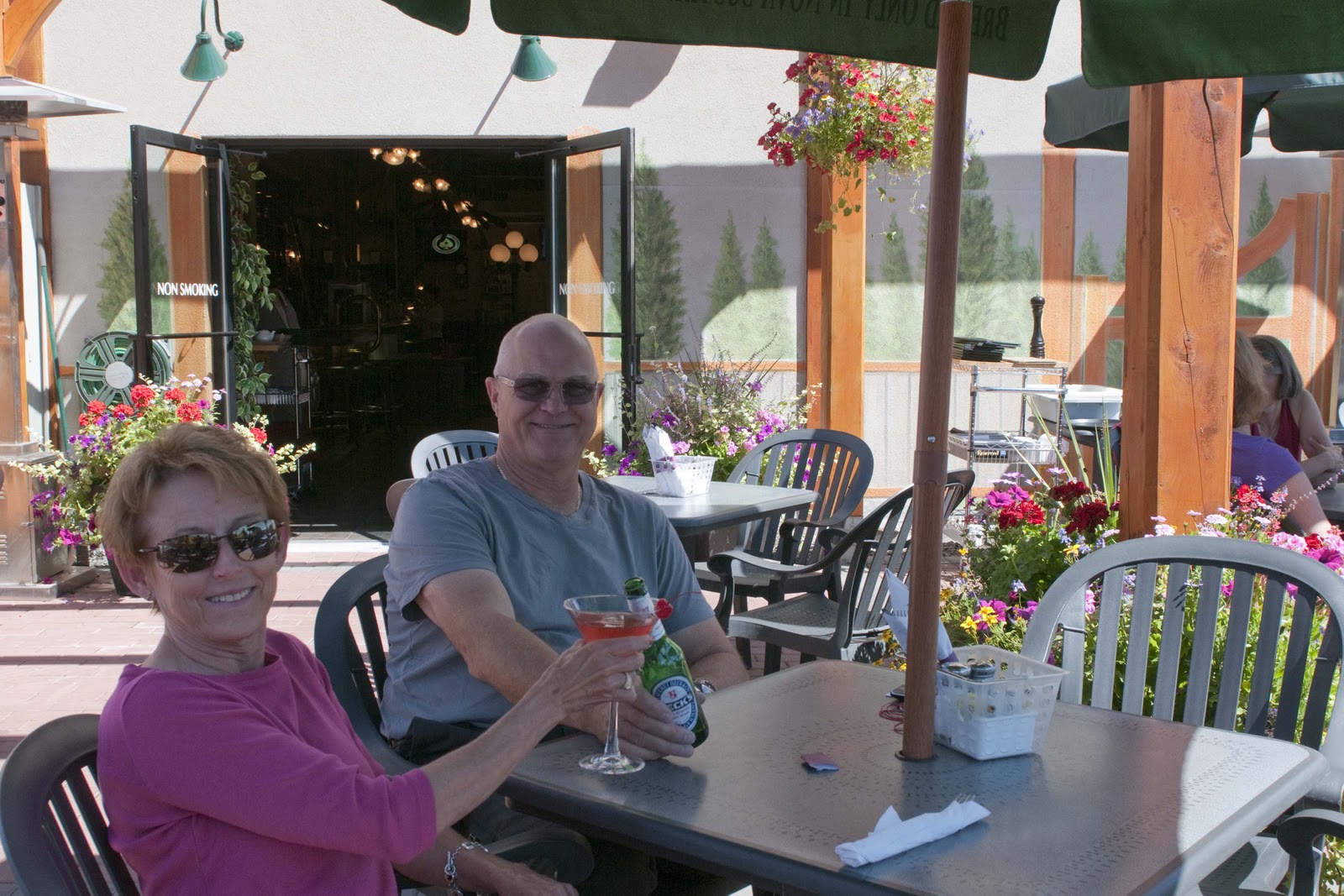
We shopped up and down Main St., visited with all the locals in the shops, contributed to the local economy and finally enjoyed a bite at the recommended lunch spot – where it just happened to be ‘martini day’. It was such a beautiful day – we couldn’t have asked for anything more –

Another rough day doin’ lunch.

This was all more than we could handle for one day – so we headed back to Magic to put our feet up and enjoy that river view out our ‘living room picture window’;-))


OK – OK – so a little exercise on this lazy day would be a good thing. Perhaps a ‘short’ hike to Twin Falls would be in order. After our lovely dinner looking at the fabulous river view, a drive to the other end of Smithers, through a very narrow, heavy forested canyon took us to the trailhead. After about a mile straight uphill through a ‘fog’ of mosquitos – here are the pictures for you –

Twin Falls, no not Montana this time, British Columbia.

Enough light left to capture this shot at 9:30 pm.

A point of interest – these pictures of the falls were taken at about 9:30PM – without any flash!! Not much darkness up in this neck of the woods.


Well – that finished another wonderful day in our adventure. Tomorrow is another travel day AND we are SOOOOO EXCITED!!!!!!! We begin the trek ‘North to Alaska’ on the Cassiar Highway. We have heard exciting news about our stop for the next couple of nights, which we will check out and report about to you in the next posting;-))


Much Love to All – XOXOXOXO – E & G

Out of the mountains onto the plains

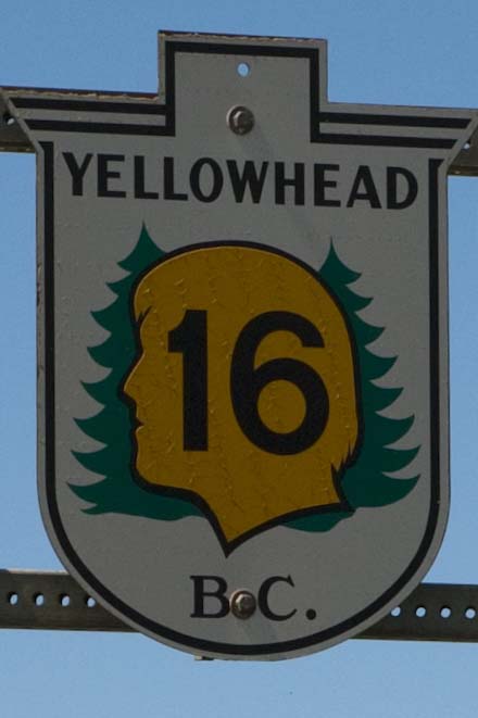
Friday, July 23, and we have now been on the road for two weeks. In some respects it seems like an eternity since we were in Park City, as we have seen and done so much. Just like two weeks ago today – it was a travel day. We were off to Vanderhoof, BC – via Hwy 16, the Yellowhead Hwy. The highway is named for the Yellowhead Pass, the route chosen to cross the Canadian Rockies, which in turn is named after a fur trader and explorer named Pierre Bostonais, who had yellow streaks in his hair and was nicknamed Yellowhead!! Sometimes the craziest names stick forever.

Following the Yellowhead Hwy.

We were so very sad to be leaving Jasper – but there are more experiences to be had and scenery to be seen. We did try to stay in Jasper another couple of nights beyond our reservation – but, out of almost 800 camping spots, they couldn’t find an extra one for us for a couple of extra days. So – we reluctantly went on our way –


Jasper BC is a beautiful area-sad to leave;-(

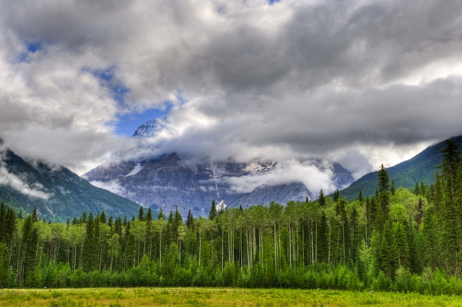
Three things about the Yellowhead Hwy on the segment we drove this Friday – Moose Lake, animals and Mount Robson. Unfortunately, the photographer was not quite awake as we passed by Moose Lake and not quick enough on the trigger for the animals! So – you have to trust me on these. Moose Lake was simply beautiful at the hour we passed it in the morning! Quite large, right up against the highway – but, not a moose in sight;-( Three bears were sighted, though – one running across the road right in front of us! But, they were clearly not as used to cars (or people) as those in Jasper. They disappeared into the trees along the road as fast as we spotted them. So – no pictures of them either. Mount Robson, the highest peak in the Canadian Rockies, on the other hand – posed! However, the top of this mountain – similar to Denali – is not seen very often. It creates its own weather and is almost always shrouded in clouds. Gary spent about 30 minutes waiting – and waiting – and waiting – as the clouds teased him. Every minute looking like there would be a break and he would get that elusive photo of the top. Never happened – but, what he did get is still awesome –


After a long wait, this was all I could capture of the upper section of Mt. Robson.

The NP’s, mountains and forests were left behind (for the time being) and we entered the Nechako Valley on the banks of the Nechako River. The stop was Vanderhoof, British Columbia (BC) – the geographical Center of BC. This valley is an agricultural, farming valley – and very different from the Jasper area.


(Note – We have been happy to learn that after our posting about the Icefields Highway and Jasper, it appears that we have some Canadian writers (??) following our blog. But, that also means that perhaps our comments should be tempered??)


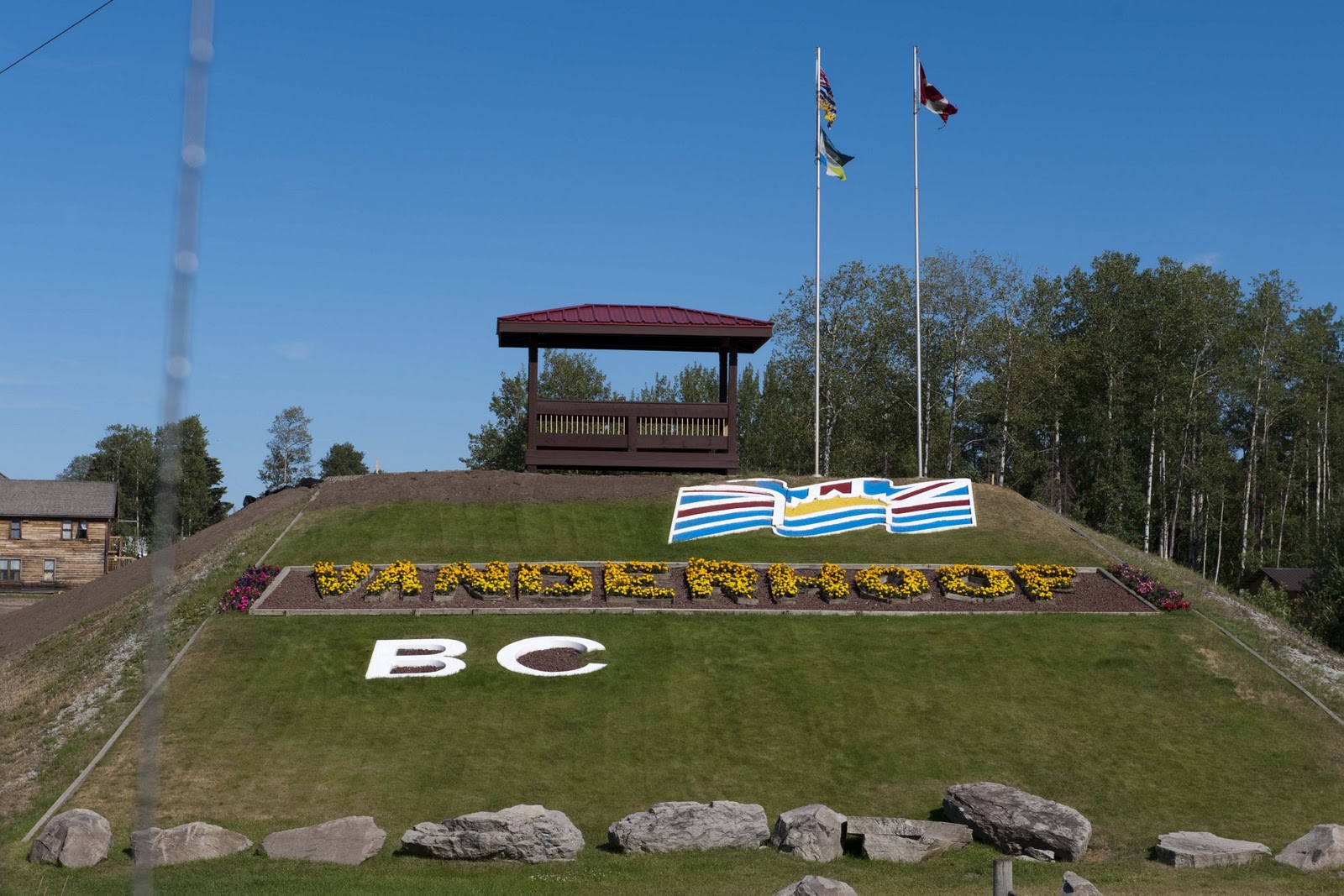
SO – Vanderhoof was not what we were expecting – but, the welcome sign was quite lovely –


The prettiest part of Vanderhoof 😉

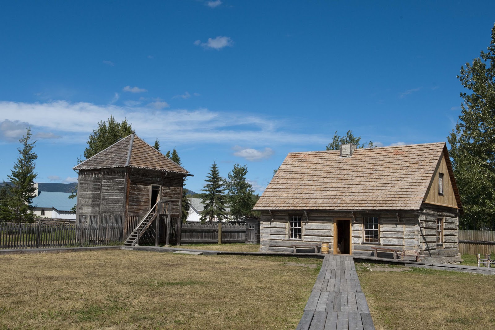
A side trip to Fort St. James National Historic Site of Canada proved to be quite interesting and informative. Simon Fraser and John Stuart established a trading post here, Stuart Lake Outpost, in 1806 for the North West Company’s expansion west of the Rocky Mountains – as they found the area rich in all kinds of fur-bearing animals. The Outpost was renamed Fort St. James in 1821 with the ‘merger’ of the North West Company and the Hudson’s Bay Company. It was hard for us to imagine that the hunting of animals for their furs was so lucrative that it made sense to establish this trading post in this ‘remote’ location and ship these furs around the Cape of South America to Europe. But, that is just what they did!! And, they did this in conjunction with the Carrier people of the Nak’azdli nation, who were the natives of the area. The fully restored Hudson’s Bay Company post commemorates this partnership between the fur traders and First Nations from 1806 – 1952. Here is just a glimpse –


Historic Fort. St. James. A Hudson Bay Co. fur trading outpost.

After Fort St. James – we just couldn’t handle our scheduled tee time at the course ‘in the pastures’ – so we called and cancelled;-(


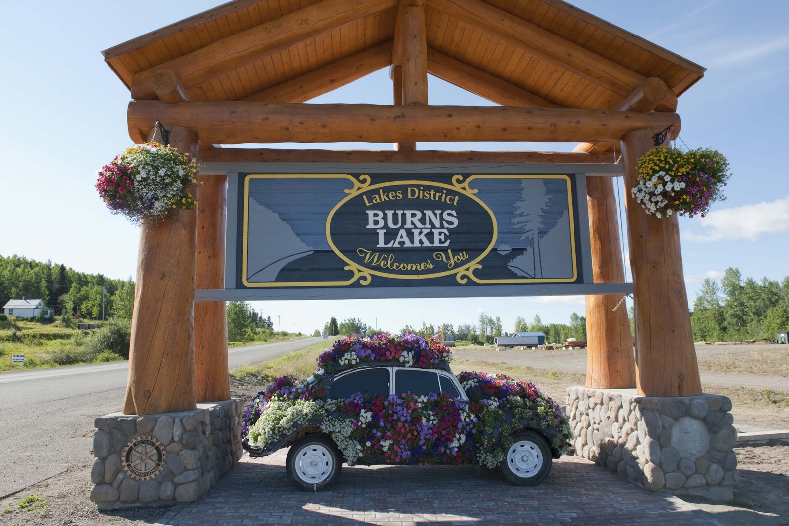
A slight variation in the schedule occurred here – one less day in Vanderhoof – as we continued on the Yellowhead Highway to the next stop – Telkwa. Burns Lake was on the way – and made us think that perhaps the ‘Welcome’ signs were much more important here than in the US. It made us stop, look and take a picture –

Welcome signs are BIG in BC!! REALLY FUN – don’t you think??

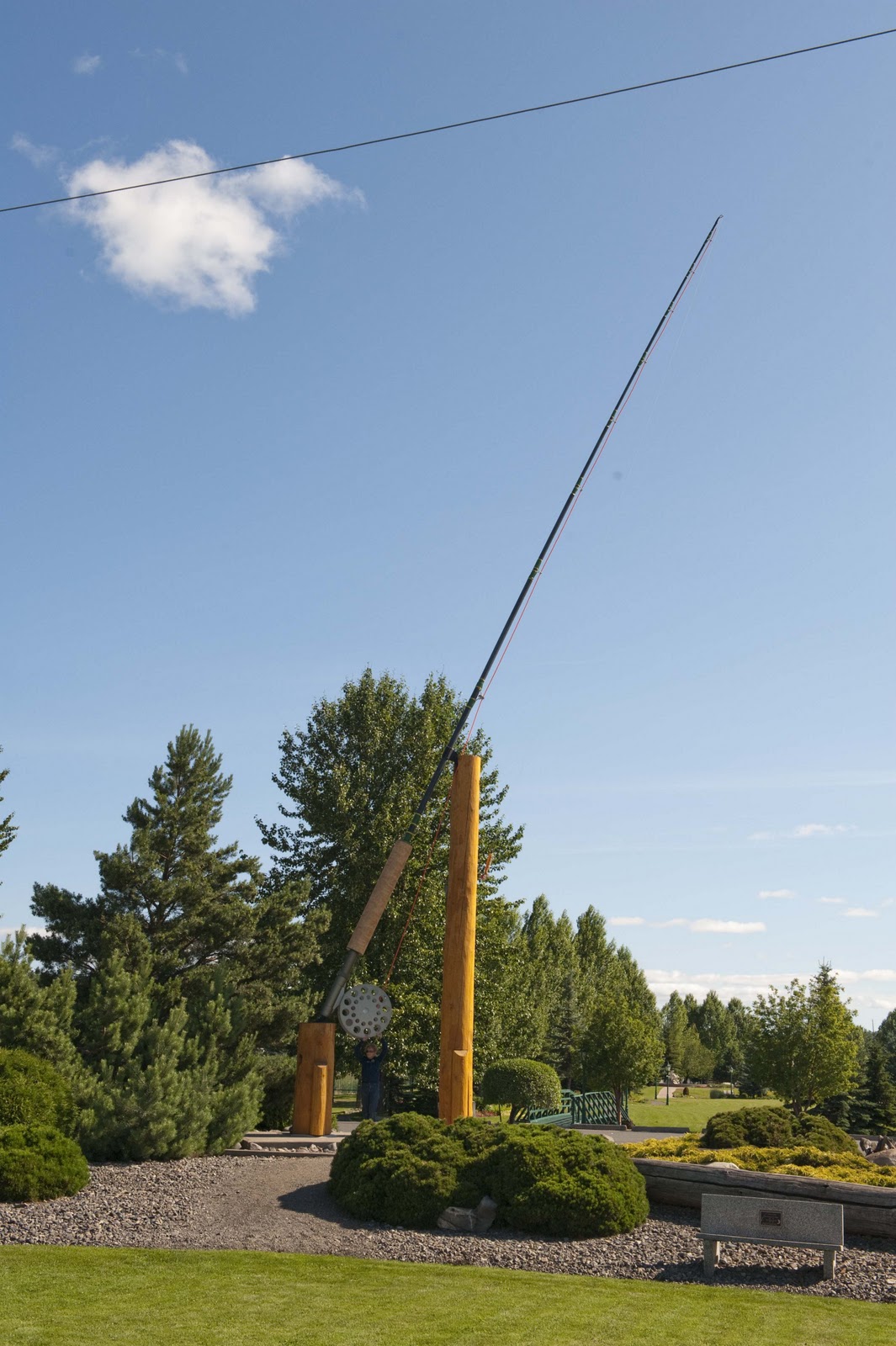
Then there was Houston (BC – that is), with the world’s larges flyrod!! A tribute to the fact that Houston is the Steelhead fishing capital of the world – this impressive structure measures 60 feet long and weighs in at 800 pounds!! Elizabeth was just a fleck in the reel –

You can almost see Elizabeth below the reel. The T-shirt in town says “the best head is steelhead”.

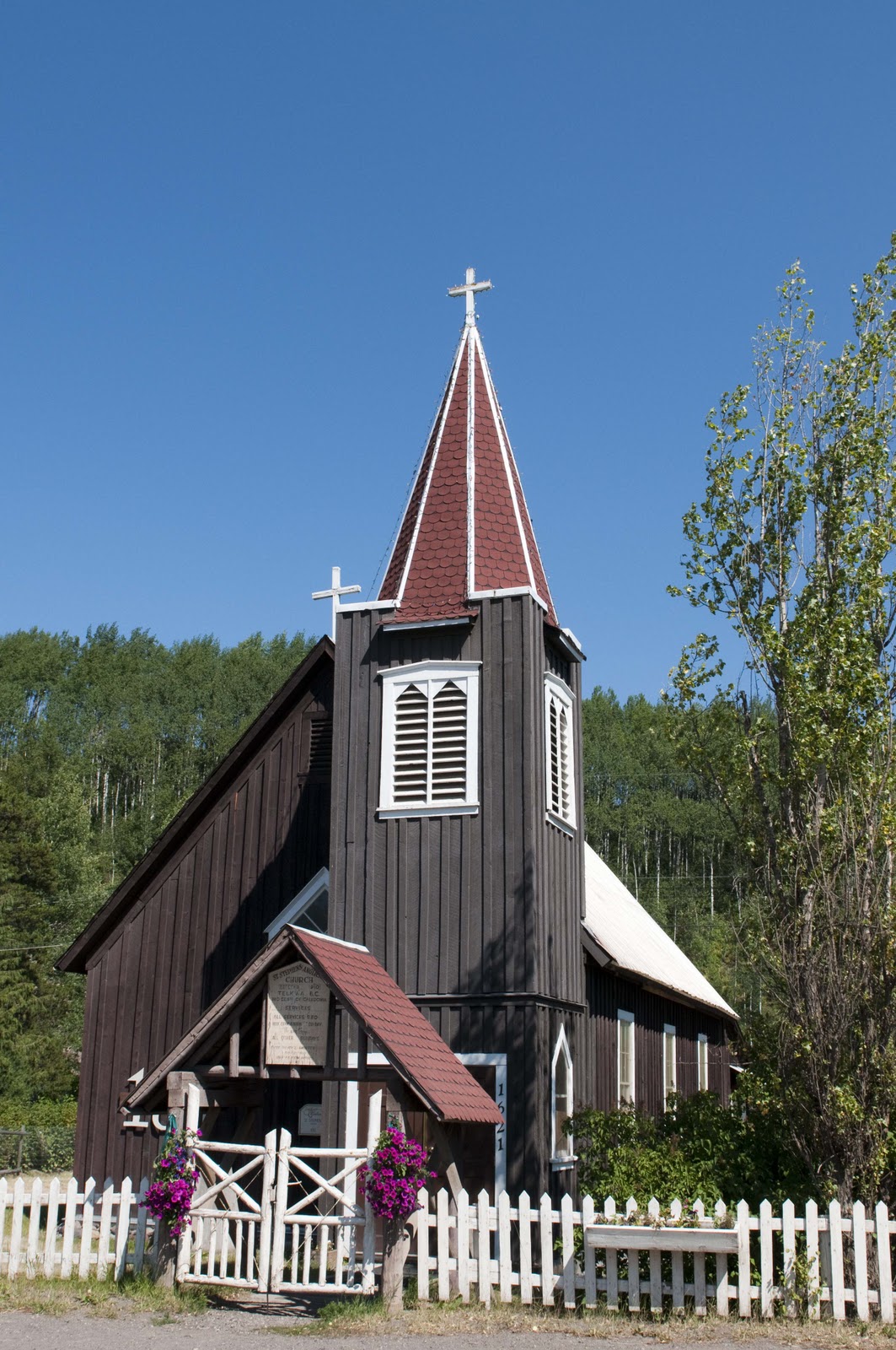
Finally we reached our current destination of Telkwa – meaning “where the rivers meet”, as this is where the Bulkley and Telkwa Rivers come together. In 1906 the valley’s first European settlers put down stakes here on the bluff above the Bulkley River and established a restocking spot for prospectors following the call of the Gold rush. As the Grand Trunk Pacific Railway (now the Canadian National Railway) began constructing the western section of their railway in 1907, many businesses and settlers began to move down the hill to the present site of Telkwa to be closer to the anticipated railway and an easier water supply. Many of the historic buildings still exist – as this restored 1910 St. Stephen’s Anglican Church –

The old church.

Just a side thought from our travels – As we listen to the trains go by, and given the history of Telkwa, we are reminded, again, of the role that the railroads played in the development of North America! All of the Lodges in the NP areas that we have visited, of both the US and Canada, were built by the RR’s. Much of the exploration of the west in the 1800‘s was done in order to bring the RR west – which resulted in a good portion of the development. So many of the towns we have passed through in our travels – all across the US and Canada – came into existence/grew because of the RR’s. Seems as though we do owe them a debt of gratitude.


Well – enough of our thoughts. We shall see what another day brings. Until then –


Our Love to All – E & G

NOW – the Real Fun Begins;-)

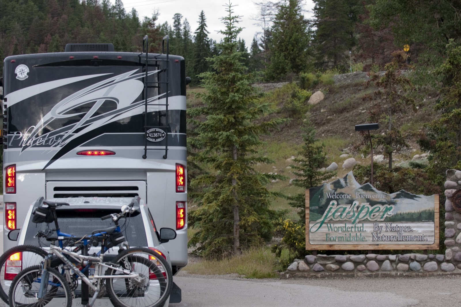
Monday morning we awoke full of anticipation as we were off to Jasper, Alberta, Canada. First we had to give Magic a bath at the local car/RV wash – we did this in the pouring rain!! Yes – in the pouring rain. An hour and a half later we were on our way;-)

After a short jaunt down Canadian Hwy 1, we turned onto the Icefields Parkway at Lake Louise (Lake Louise is in the Banff National Park (NP) – which butts up against the Jasper NP about half way up the Parkway). As mentioned in a prior posting, Glacier NP (US) and Waterton NP (CAN), combined, are a UNESCO World Heritage Site. So are the Jasper, Banff, Kootenay and Yoho NP’s (all together as one UNESCO World Heritage Site) along with three provincial (state) parks. These Canadian Rocky Mountain Parks combined as one World Heritage Site makes one of the largest protected areas in the world. And, the beauty is stunning!!

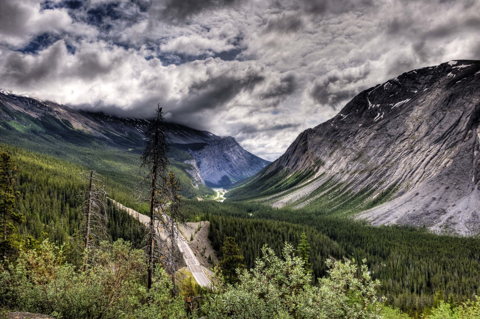
The Icefields Parkway IS the most beautiful road we have travelled – anywhere in the world. It is over 130 miles of continuous World Heritage Site scenery completely protected in the two NP’s (Banff & Jasper). This Parkway was begun in 1931, when the Canadian government put hundreds of unemployed men to work (sound familiar??) building the “wonder trail” through the heart of the Canadian Rockies. The men were paid twenty cents a day. Using picks, shovels and horses these hardy folks hacked a single-lane gravel track from Lake Louise to Jasper. The road opened quietly in 1940, while the country was at war. Thankfully, the tourist boom of the 50’s and 60’s required some widening and paving – although it is still only two lanes wide and could use some pavement improvement even today!!

The Parkway IS a scenic drive, not a transportation corridor. You ned a park pass to drive the parkway and large trucks are banned. There is NO traffic on this road. There are some of the most rugged mountains you will ever see – topped with seven icefields and about 25 smaller but still notable glaciers. (Note – just as rivers flow our from lakes, glaciers flow out from an icefield. An icefield is a sheet of glacial ice that is trapped by higher surrounding land and which feeds more than one glacier.)

About half way between Lake Louise and Jasper is the Columbia Icefield, which is the largest accumulation of ice south of the Arctic Circle. It straddles two NP’s (Banff & Jasper) and two provinces/states (Alberta and British Columbia (BC)). It is a hydrological apex – the meeting point of three continent-wide watersheds. On the western side (BC), the meltwaters flow into the Columbia River and on to the Pacific Ocean. On the eastern side (Alberta), the meltwaters flow into both the North Saskatchewan River, which empties into Hudson’s Bay, and then into the Atlantic Ocean; and also into the Athabasca-McKenzie system, which empties to the Arctic Ocean. A lot of water!!

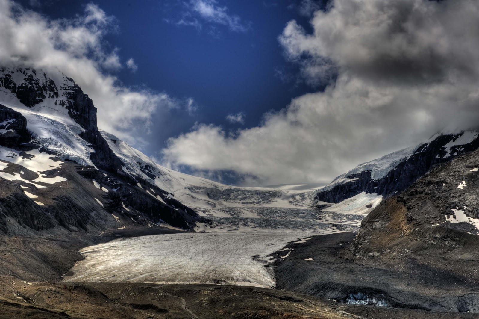
The Icefield feeds six large glaciers – the Saskatchewan, Castleguard, Dome, Stutfield, Columbia and Athabasca. The Athabasca Glacier is one of the most accessible glaciers in the world. One can hike to its ‘toe’ or take an ‘ice explorer’ (looks like a bus) onto the glacier. This glacier is 3.6 miles from the icefield to the toe and the depth of the ice at the toe is approximately 200 feet! You will not get the feel of the size by the pictures – as you don’t even standing across the street!


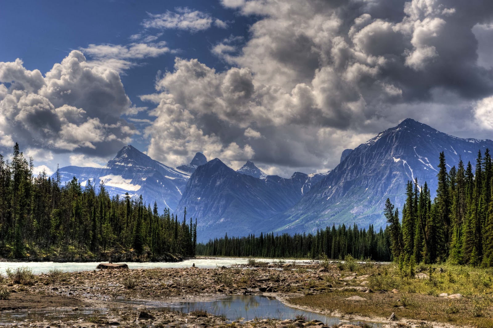
A View from the Icefields Highway.
Athabasca Glacier. (Those little specks part way up are the busses!)

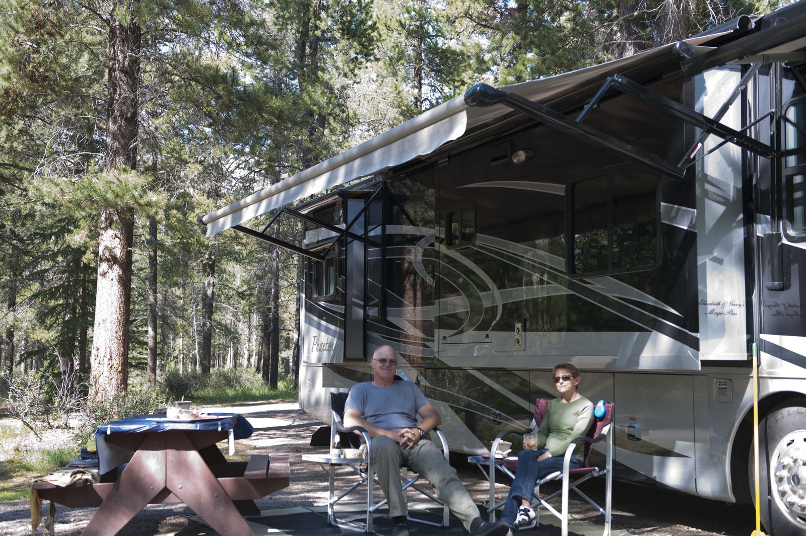
As you can probably tell – we were in awe of this site. But, we finally had to tear ourselves away and continue the journey to Jasper and our home for the next four days. And, let me tell you – the Canadians know how to make NP campgrounds;-)!! They make the sites so you hardly see your neighbors – in the absolute beauty of the forest, turn off the wind machines and bring out the sun. After hooking up – a cocktail was in order in the fantastic setting to celebrate –


Our site is so private it’s like no one else is here.

We pulled ourselves away from this serene setting to go into Jasper ‘to check it out’. It’s a cute little town – not as sophisticated as Banff – but cute in its own way. Gary managed to find a wood fired pizza place – so his turkey tacos had to wait for another night. Our arrival back at the campground was in time to check out the Ranger Lecture – ‘An Overview of Jasper NP’ – only to be rained out half way through. No matter, we got back to Magic just before it really started to pour.

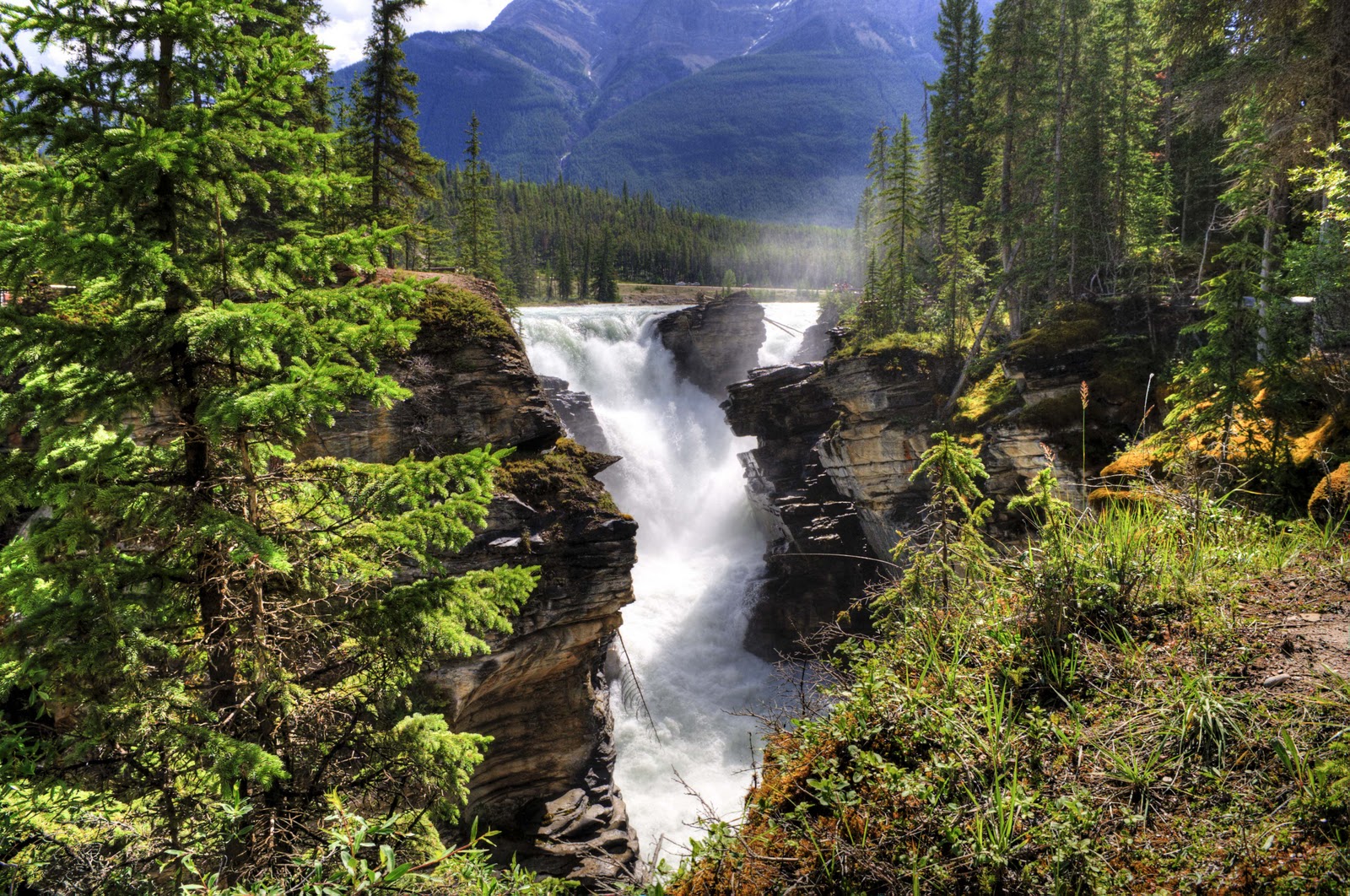
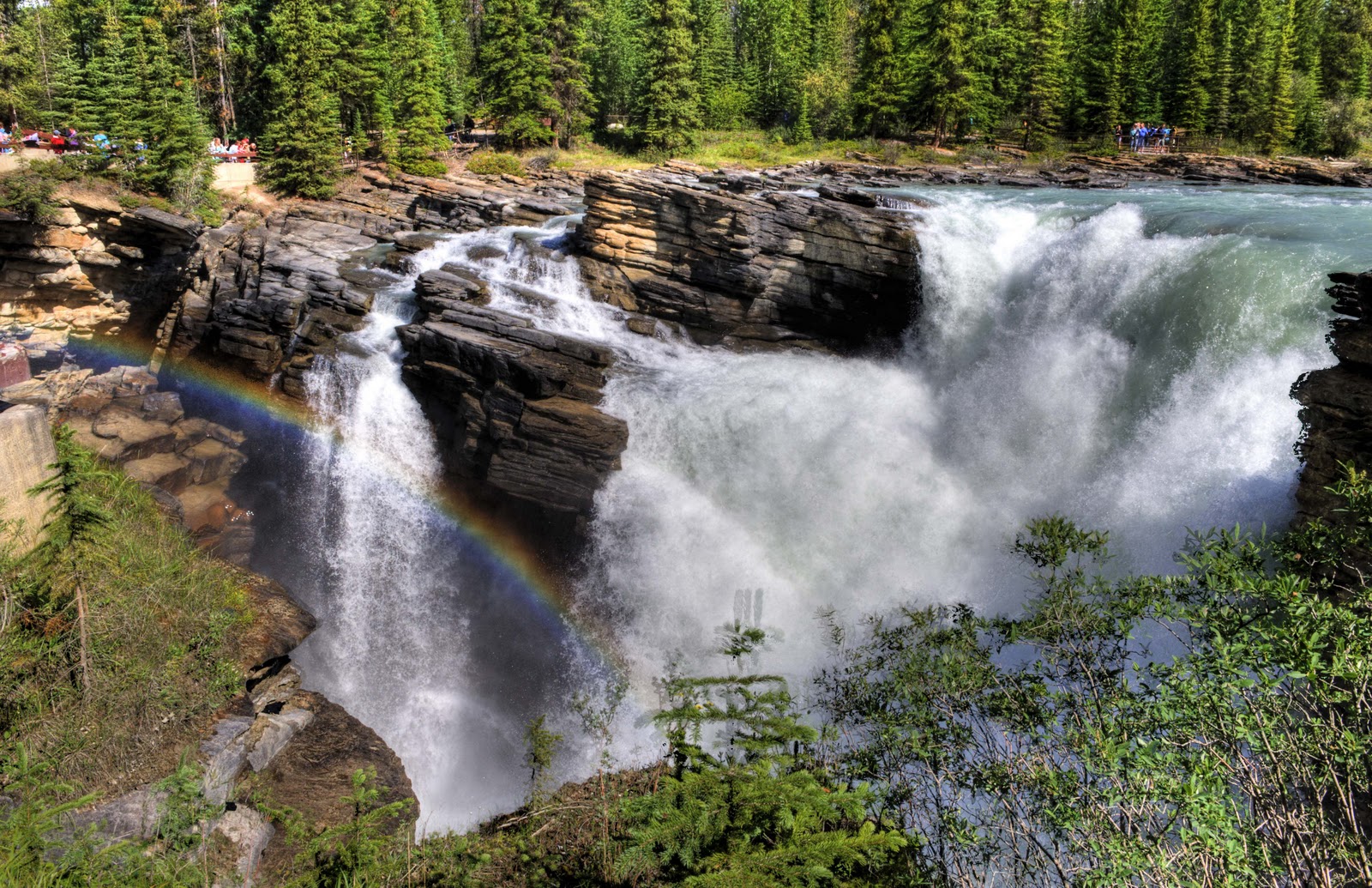
Tuesday was another fabulous day in Paradise;-) First stop – Athabasca Falls. (Athabasca means the place where the bulrushes grow in the native language.) Here the Athabasca River (flowing out of the Athabasca Glacier discussed above and ultimately into the Arctic Ocean) pours into a VERY narrow canyon cut into a very hard, quartz-rich rock. A softer rock would have allowed the river to flow over it and create a gradual flow of rapids. But, this very hard quartz broke off in very large chunks as the river flowed over it – creating the narrow, DEEP canyon. The pictures won’t due it justice, as you need the thundering of the water falling over the rocks – so loud you can’t hear another person talk!!


Athabasca Falls.


A rainbow at Athabasca Falls.

Up river from the Falls, we found a good spot for lunch with a beautiful view –

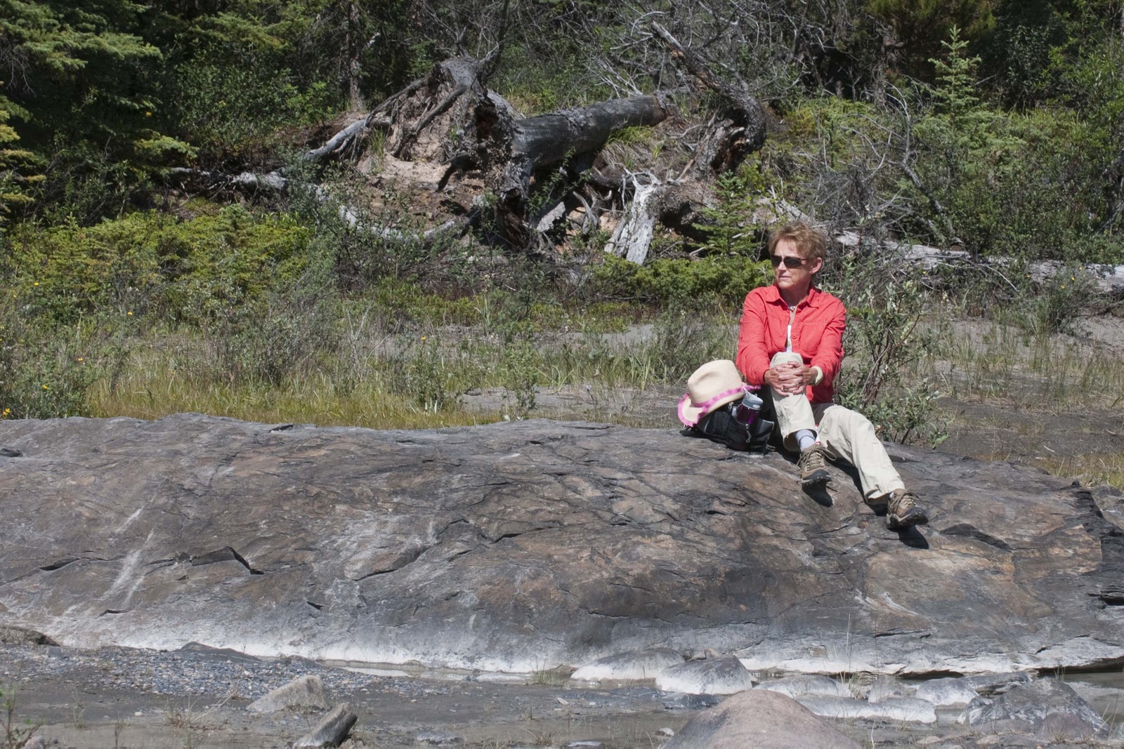
A perfect rock for our lunch break.
Our picnic lunch view.

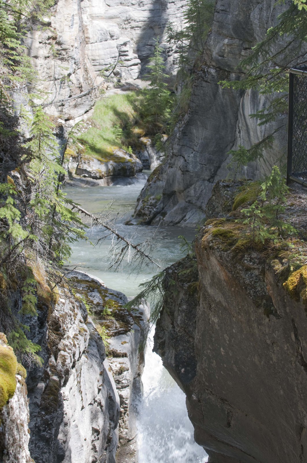
Not too much time to rest – the next stop was calling. Yet another wonderful hike – this time following the Maligne (pronounced Ma-lean) River as it plunged more than 70 feet into a steep walled gorge of limestone bedrock in Maligne Canyon. (Have you figured out that we really like waterfalls??) Several footbridges took us over the canyon in order to get spectacular views of the canyon and the river.


Falls in the Maligne Canyon.
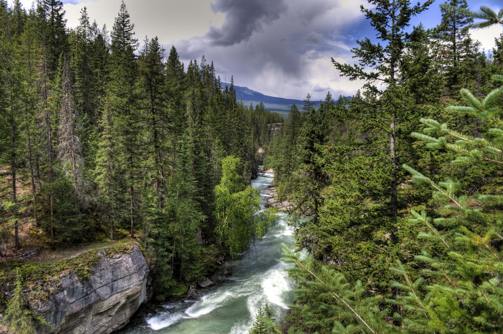
Lots of water moving down Maligne Canyon.

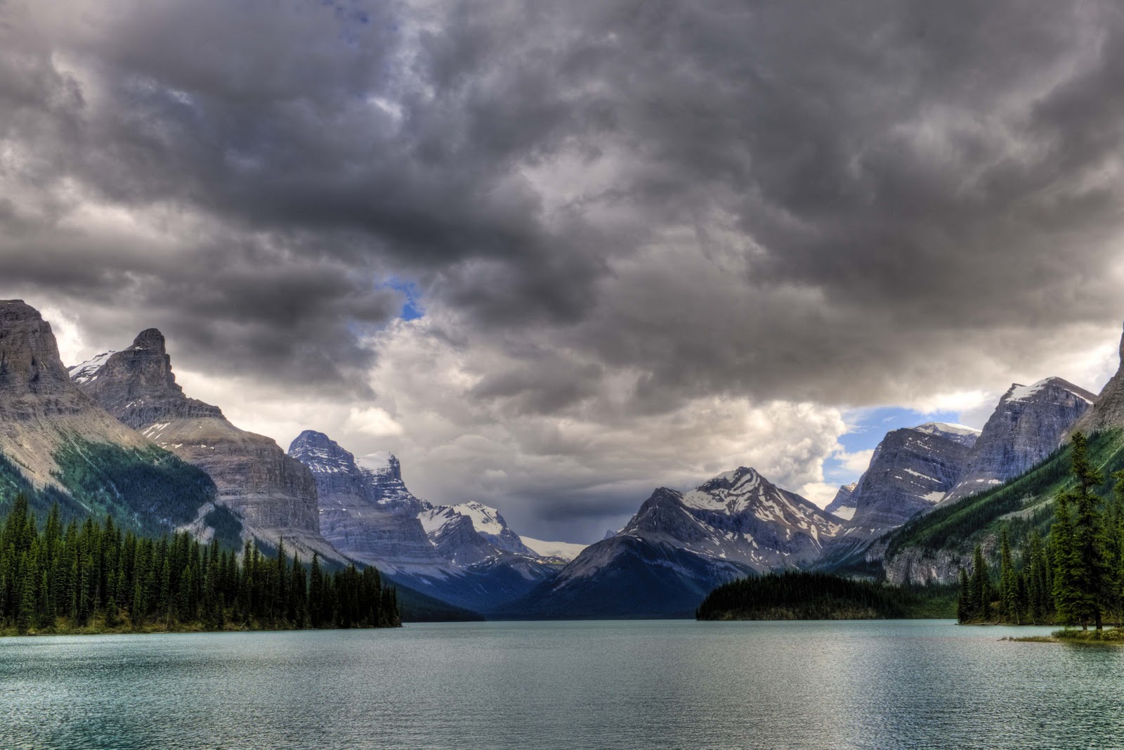
Back at the car, we followed the Maligne River upstream to its origins. (You might guess where it winds up – yup – joins the Athabasca and winds up in the Arctic Ocean!) But, first it travels through Medicine Lake – where you can see it flow into the lake, but not out?!?! There is no surface outlet. The water flows underground for many miles, emerging in Maligne Canyon. And, before that, it flows out of Maligne Lake. This lake is the largest lake in Jasper NP and the deepest. Brian and Guy took us out to Spirit Island close to the end of the lake where we could see the Maligne Glacier and the origins of the Maligne River;-) The scenery is awesome –


View from Spirit Island on Maligne Lake.
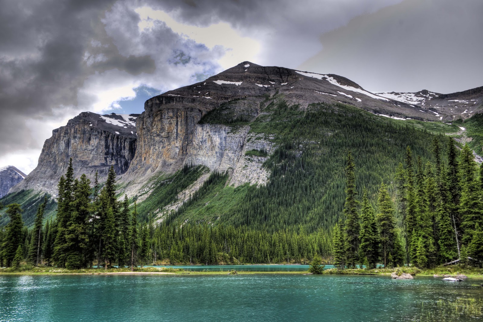
Spirit Island is on the left. Too bad there were no nice views here!

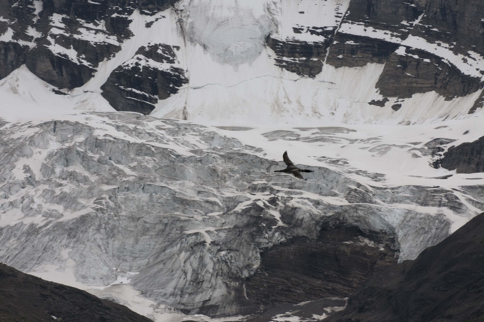
A bird flying over Maligne Glacier.

It was now the time of day we were hoping for animals on our way home – and were rewarded.

Laying down on the job.

Work day is over. I’m heading for the cave!

Ok, where is my mom?
Enough pictures already, take this raspberry.

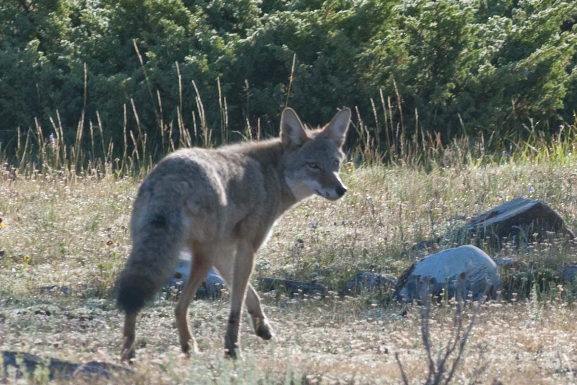
No rest for the weary. Wednesday we had an early tee time in Hinton – about an hour away. We scheduled this as all the literature said we had to travel Hwy 16 east – and Hinton was that direction just outside the park. So, we were off a little before 8 and did get to see many of the animals out for breakfast – lots of deer and a wolf on the hunt –


One of the motley crew.

I’m outta here!

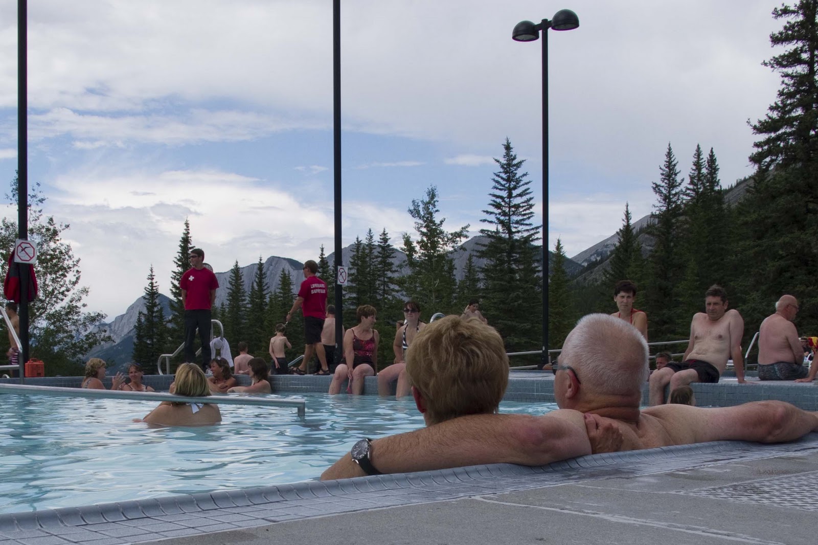
After golf (which needn’t be discussed;-() we were off to another ‘must’ drive on the eastern edge of the park – the drive to Miette Hotsprings (pronounced Me-at). A very small, winding mountain road leads up the scenic Fiddle Valley to the hottest mineral springs in the Canadian rockies – with incredible views! And, of course, we took advantage of the springs to soak our weary, golf-sore muscles;-)


View from the Miette Hot Springs.

Another fantastic day in Jasper NP ends with our ‘crock pot dinner’ in our private outdoor dining area upon our return to Magic. It is a terrible assignment – but someone has to do it;-)

It was mentioned at the beginning of this piece how the Canadian’s know how to do it with their NP campgrounds. They turn off the wind and bring out the sun. This is true – except for the wonderful late afternoon thunderstorms that Elizabeth grew up with and loves! And – they have real doozies up here!! Fortunately, these always seem to come as we were in the car on our way home from the day’s activities or very late just as the sun is going down – which up here is not until after 10PM. (We have yet to see the ‘path lights’ go on as we can not stay up that late.) It also rains during the night which has been true the last several nights. It wakes you up to let you know it is raining – then lulls you back to sleep with the ‘rhythm of the falling rain on the top of Magic’. What a nice way to sleep;-)

Last night it rained pretty hard – and is still at it this morning. This may alter our plans for the day – like eliminate the planned bike ride – which is a good thing since it is now 9 and Gary is at the computer working on pics in his pajamas and Elizabeth just got out of bed!! Our breakfast plans (before the eliminated bike ride) have now been moved to lunch plans. We are going to the Soft Rock Cafe, which advertises an internet connection, and may allow us to get these last few days posted before it becomes an entire book. Keep you posted (so to speak).

Lunch is delicious and the internet connection is really fast – so here it is;-)

Love to all – and back when we have internet again – E & G


Golden Scenery

What a beautiful drive! Saturday was a travel day – from Waterton NP in Alberta, Canada to Golden, BC. The drive was about 300 miles taking us about 8 hours. We have discovered that we like to take what we refer to as the ‘green dot roads’. (In our atlas, the scenic drives are noted by green dots along the indicated highways – thus the green dot roads.) These tend to be other than the main highways – and are therefore usually less travelled;-)


We had planned to leave the camp in Waterton about 8AM – BUT, Gary slept in!! For all those who know him pretty well – he is almost always up anywhere from 4:30 – 6. So, we rarely set an alarm as one is almost never needed. This Saturday morning, however, all the fresh air, hikes, wayward golf and internet hunting had worn him down and he did not get up until 7!#**! No matter – in this world of retirement we just left a little later;-)


After being in the NP’s for about a week, we were in need of a few supply items and figured we would stop at the WalMart Super Center in the first little town outside Waterton (we remembered this store from our fall trip;-)). An hour later our cupboards and freezer were full again and we were on our way.


Canadian Highway 3 to Highway 95 were our targets. We travelled along the western base of the Rockies – along the Columbia River. The scenery went from pines to high farm/ranch lands to little towns. There was the little town of Fernie at the base of the Fernie ski resort, which made us feel like we were back in Park City. We passed through Skookumchuck, Invermere and Spillimacheen. We skirted the Kootenay NP on our way to the Yoho NP. Lunch was on the side of the road next to one of the many lakes along the way. Each bend of the road presented a beautiful new picture out our front window. And, before we knew it – 8 hours was gone and we were in Golden!


Hmmmmmm. Our new campground was quite interesting?!?!?! BUT, it had an internet connection as fast as home – so, no matter what it might look like. We were in contact with the world again (pick up email, do our needed banking, etc.) – AND we could get a couple of blog postings out;-) We were happy campers. After a quick dinner, we took a walk about town – down Main Street, across the bridge, over the river and through the forrest.


You can almost see the wooden bridge over the river

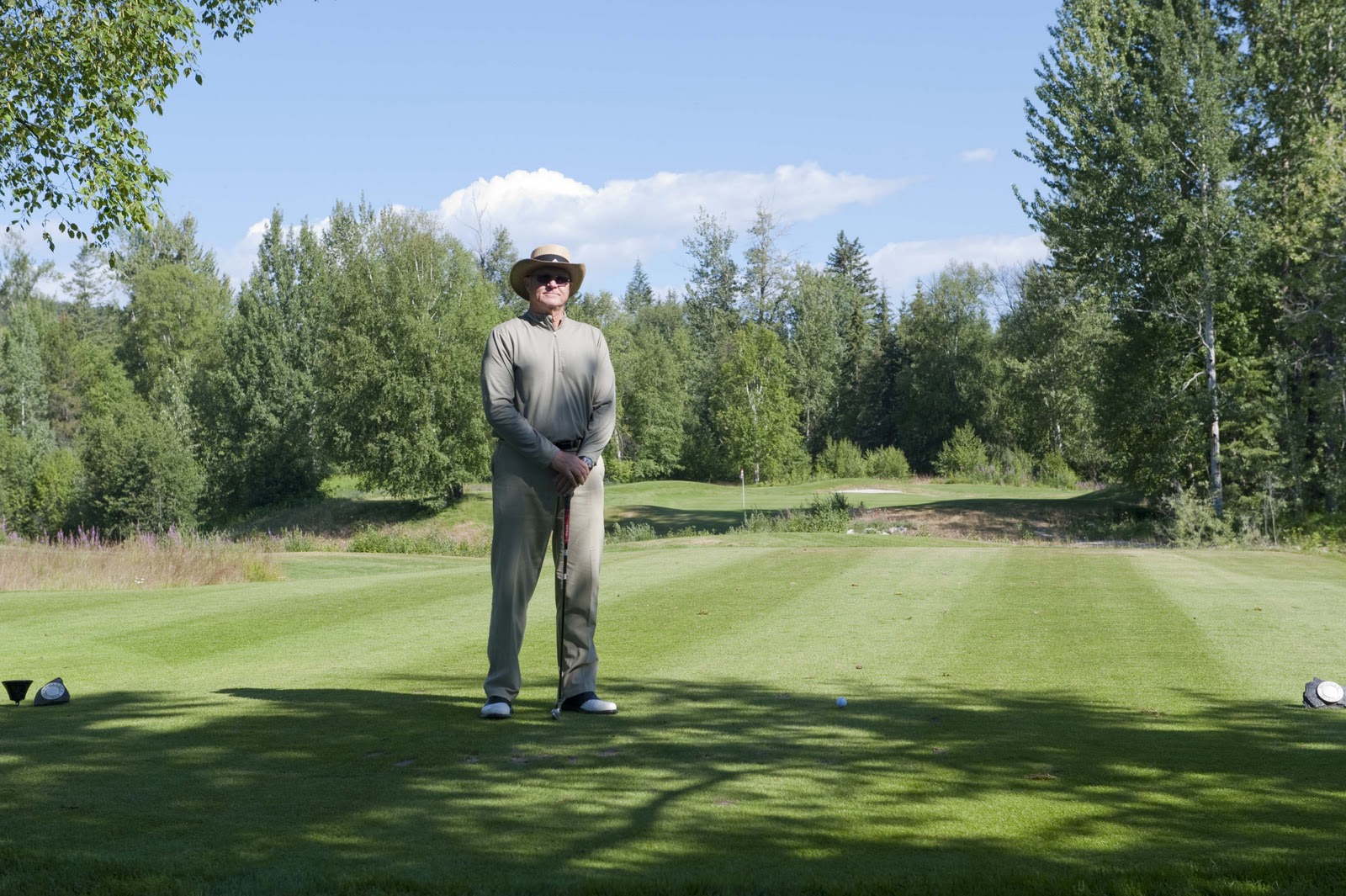
Sunday brought an early tee time at the Golden Golf Club. No chancing Gary’s automatic waker-upper – we set the alarm. The course was beautiful – much like the PC Muni course – and in great shape. There were bear warnings everywhere – but, we only saw deer;-(


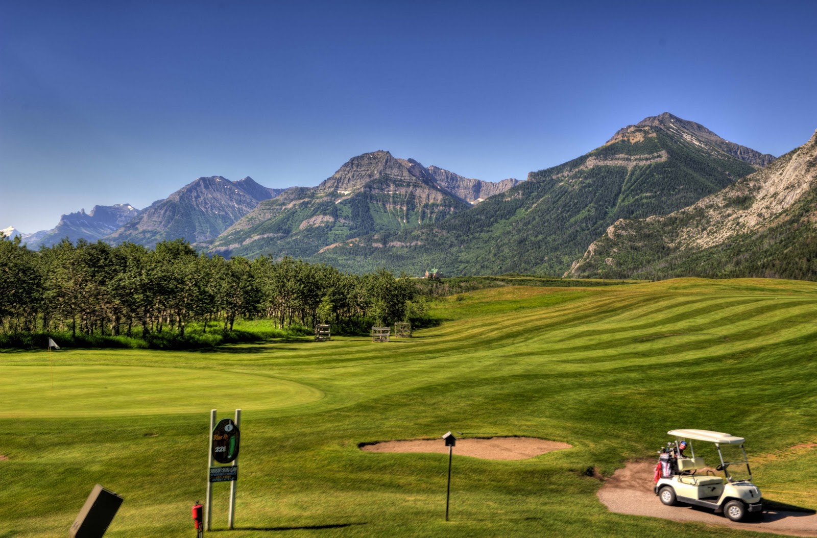
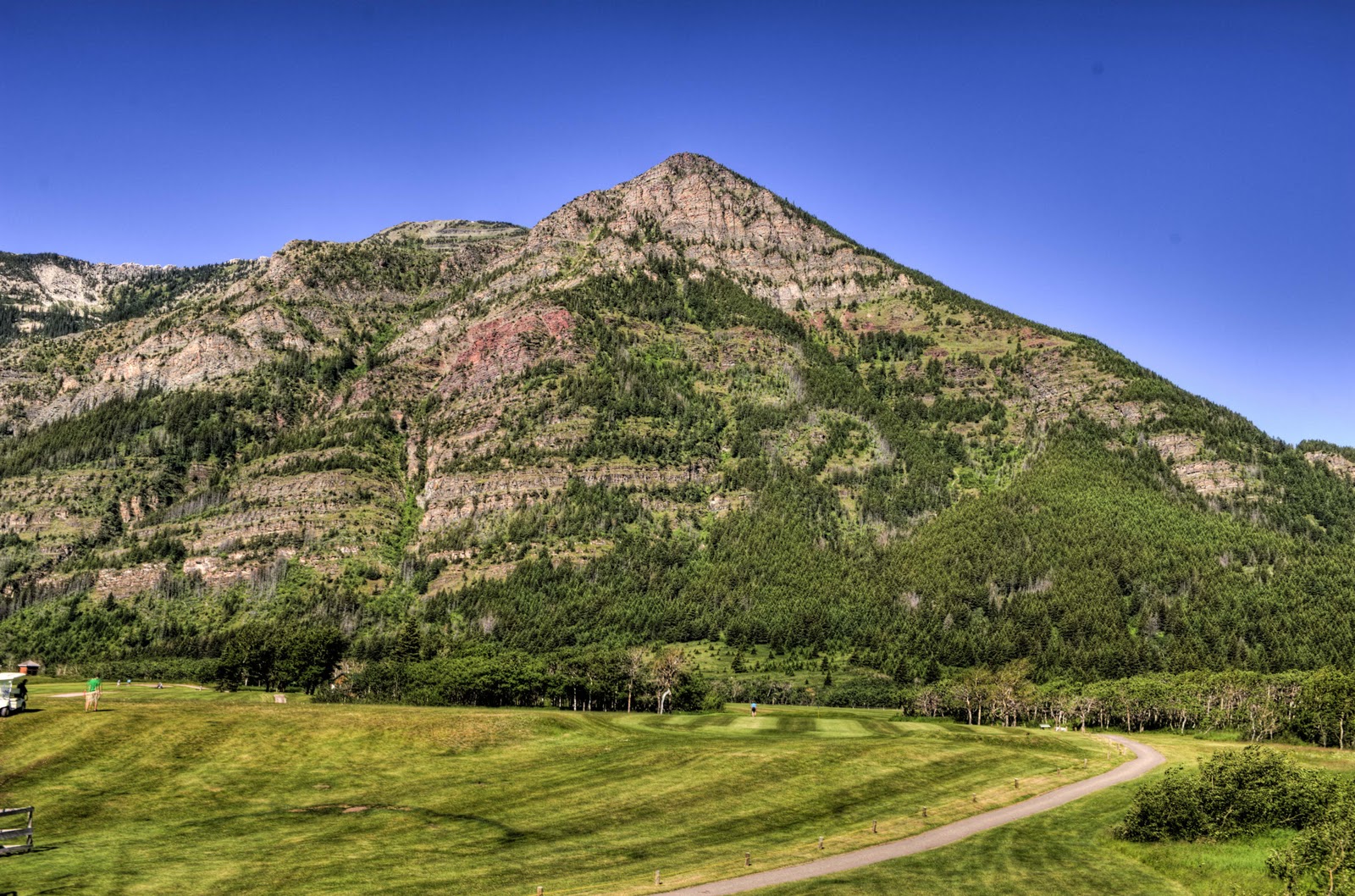
Beautiful vistas from many of the tee boxes

Gary’s ball found the water between here and the green. Thank goodness the scenery was spectacular.


After a quick 3 1/2 hour round, we were in the bar just in time to see “O” (I’d spell it but I can’t) get the claret jug. Then off to the Kicking Horse Ski Resort (which is just above the golf course), a car wash, ice cream cone and a visit to the local hardware store (one of our favorite activities in a small town – as you never know what all you will find there). Finally back at Magic to take advantage of our internet connection one more time and to do a few loads of laundry. Very mundane stuff today.


Off to Jasper tomorrow;-) More later – E & G

Hiking and Golfing Waterton Lakes

WOW!! This place is just sooooo beautiful!! There are so many different ways to describe the area. In many ways it reminds me of an adult Scout camp. As I mentioned in the last entry, the campground is adjacent to the little town (or township as they call it up here in Canada). So – you just walk to everything from the ‘camp’ – the ice cream on the corner, the pie on the corner, the Italian restaurant (VERY GOOD), the local bar for the internet connection (did NOT work this year;-( ), the sports outfitter – everything. Many of the trailheads leave from the town or the campground. The town is on the lake – Lake Waterton. AND – the mountains surround the township. In short – it is location, location, location with beauty, beauty, beauty!!


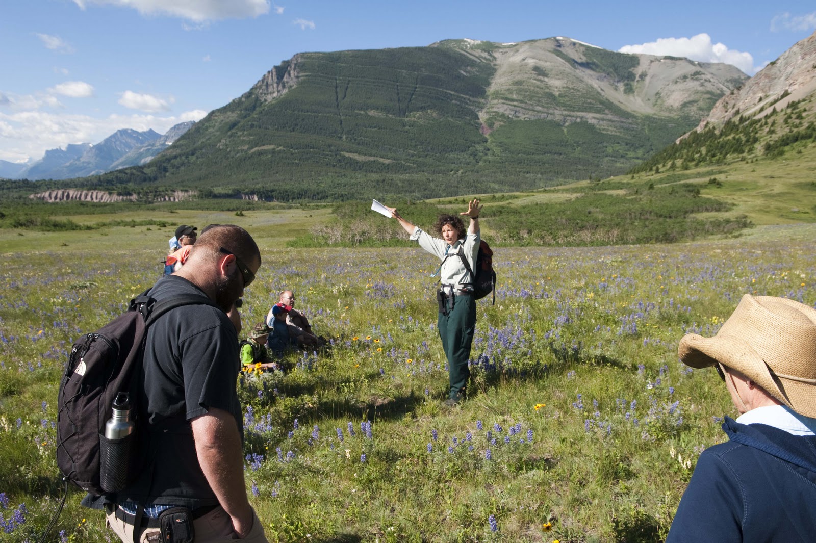
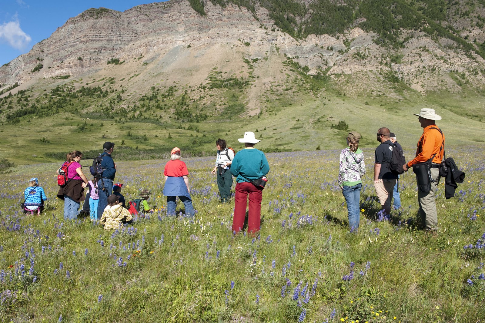
And, today (Thursday, July 15) was just another day in this paradise. There are free guided walks/hikes almost every day and free ranger talks almost every night. We decided to join one of these hikes today and learn about those who inhabited the area 10,000 years ago and the history of the bison in the area – as well as the ‘uses’ of the bison by the inhabitants. It was interesting that the bison is a ‘curious’ animal and does NOT do well in snow or bogs (depending on the season) due to its relatively small feet for its body. This allowed the ‘plains people’ to create an activity of interest to the bison (such as dressing as wolves) – get it to follow and investigate – then lead it over an edge into a bog or snow bank, both of which would make it difficult for it to move or get away – and kill it! During our 5 mile hike we saw some of the most beautiful wild flowers – something we are not used to on our trips as we travel in the early spring and late fall when flowers are NOT out yet or are long gone.


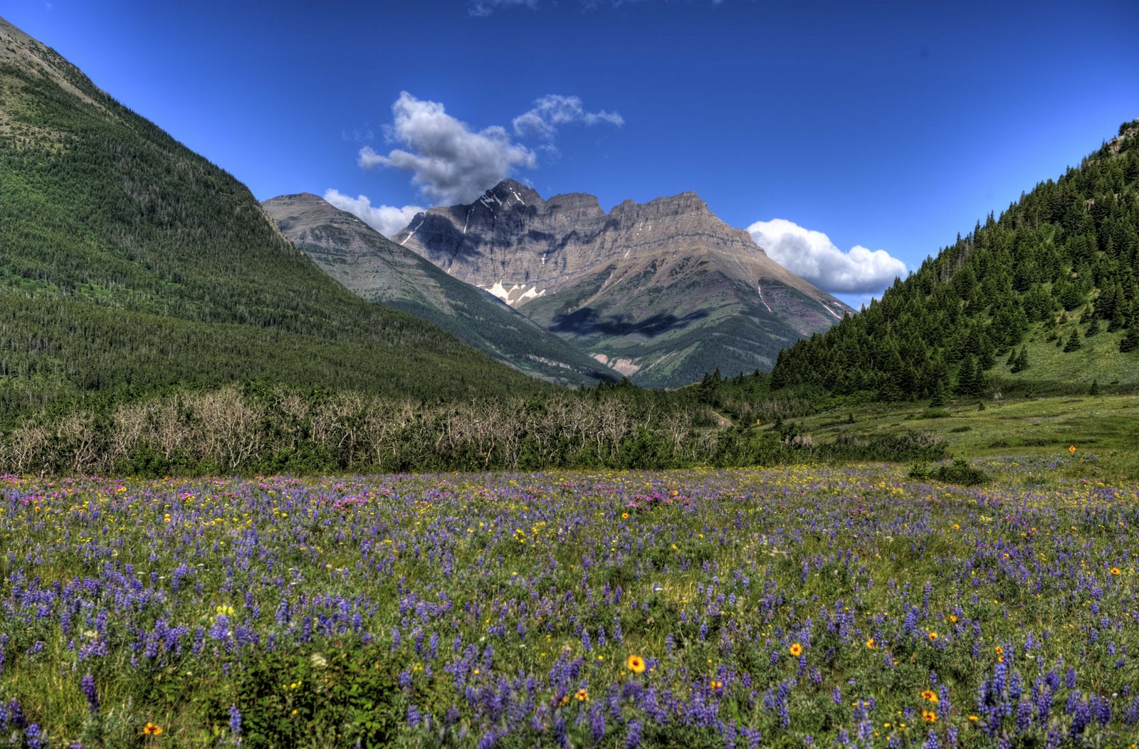
Just as we get started on our hike this beautiful view appears
Our guide, Karen, talking about the Bison that used to roam the area
Now we are trying to learn the names of the wildflowers. I’m OK with “the purple ones” and “the redish ones”
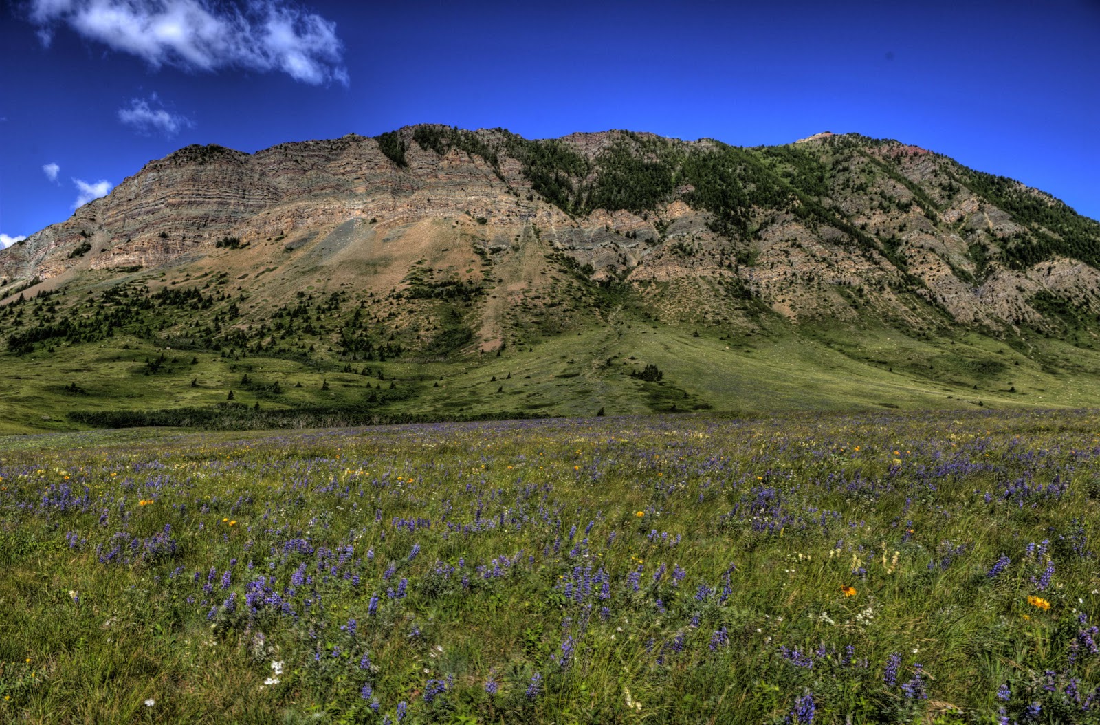
You can see why we wanted to come back to the area.

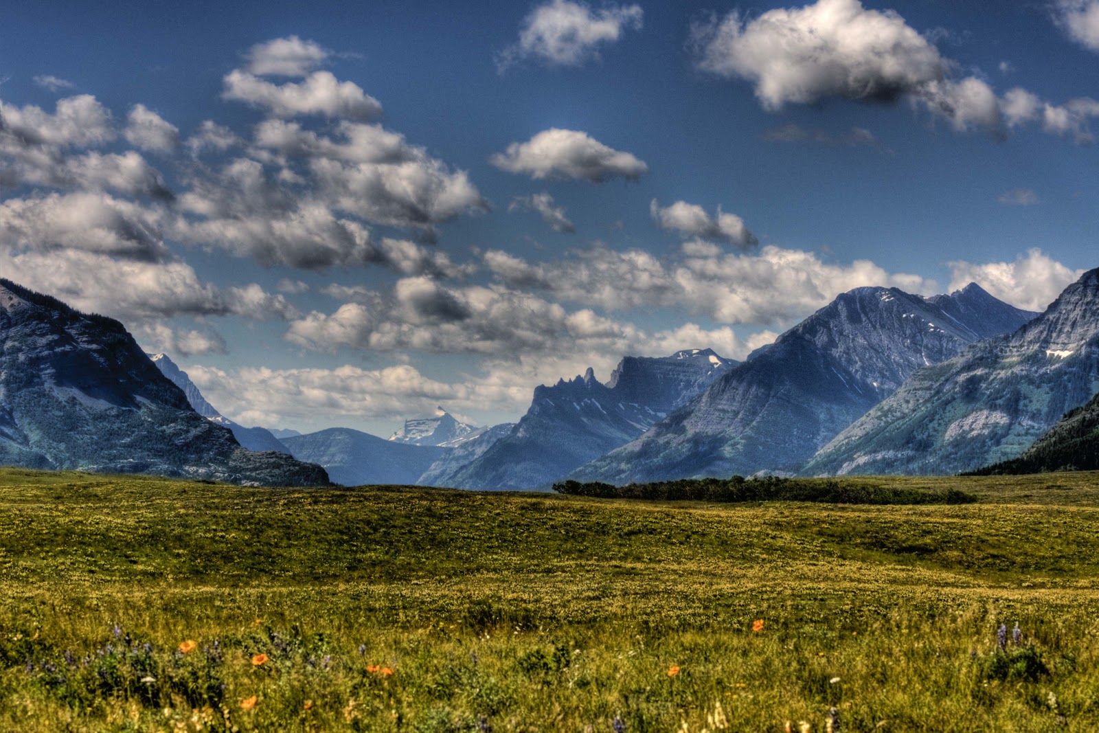
Stunning vistas

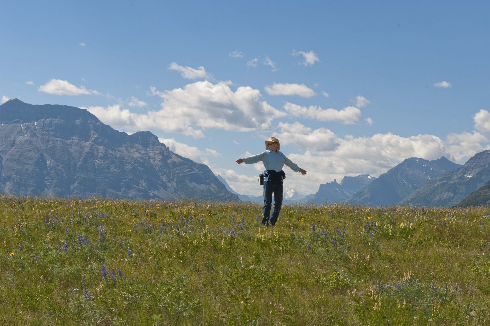
The fields of flowers and the surrounding mountains provided another of those ‘Sound of Music’ moments –

Is that Julie Andrews in a cowboy hat?

After our morning hike, we were only capable of 2-3 additional miles around the lake and the town in the afternoon. Most of that was spent looking for an internet connection;-( Oh yes – and eating pie and ice cream;-)


After a nice steak dinner in Magic (we did NOT share with the deer who did their share of begging with those big brown eyes!!), we headed over to the evening ranger program – “Mistakes, Madness, Passion and Protection: 125 Years of Canada’s National Parks”. This was a very interesting, informative program on the 44 Canadian NP’s – and gave us a new target to visit all the Canadian NP’s!!


Friday was a golf day at the Waterton GC. We left the British Open during the 1 hour delay due to the wind and moved to the wind on the Waterton course. We felt a great deal of empathy for all the players at the Open – as we could not judge what the 30-50 mph wind gusts might due to our ball – and we did NOT have a million dollars on the line!!!! It was NOT a fun round – BUT, the scenery was wonderful. AND – we saw a bear on the way to the course;-)


The view from the course was great, the 30 mph winds were not!

Too bad my (Gary) ball was in the junk on the right

We were up on a viewing stand to see if the next green was clear.

After golf – we headed to the spa in town – Gary got a massage and Elizabeth her manicure. We also decided we needed to try the local Italian Restaurante, as Elizabeth did not get anything out of the freezer for dinner! Bel Lago (Beautiful Lake) was wonderful – VERY good parpardelli;-) After dinner we took in another ranger talk, which was actually an American in an exchange program to discuss Glacier NP. A fitting end to our stay in Waterton as Saturday was another travel day – to Golden, BC Canada.


More later – Love to All – E & G

On to National Parks – Glacier & Waterton

Well – tonight I am sitting here with NO internet connection (so have NO idea when this will actually get posted)(finally have a decent connection in Golden, BC on the 17th – so several days to post!), NO phone connection and listening to the wind, which is gusting at 50-60 miles an hour. We DO love the National Parks and all the beauty they provide – BUT, would love it if they could figure out how to connect to the internet and TURN OFF the wind machine (the wind has followed us since the beginning of our Spring trip in March)!!!!

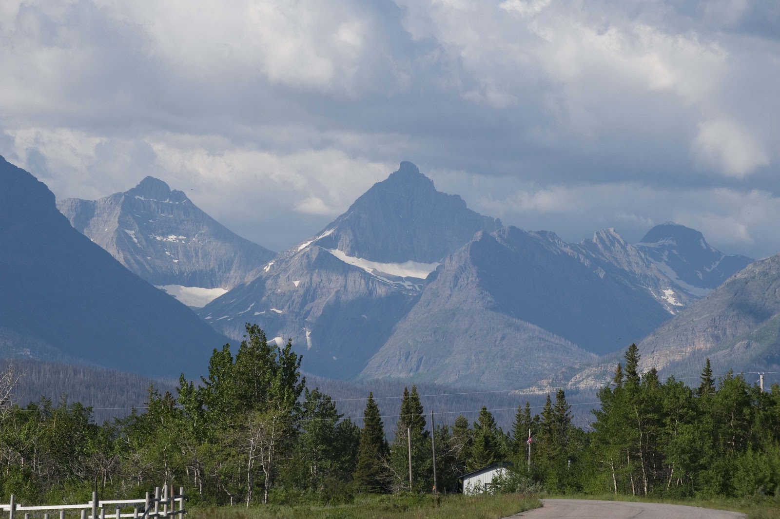
The VERY good news is that I am looking at the beautiful glacier-filled mountains that make up Glacier NP – an ugly task but someone has to do it;-)
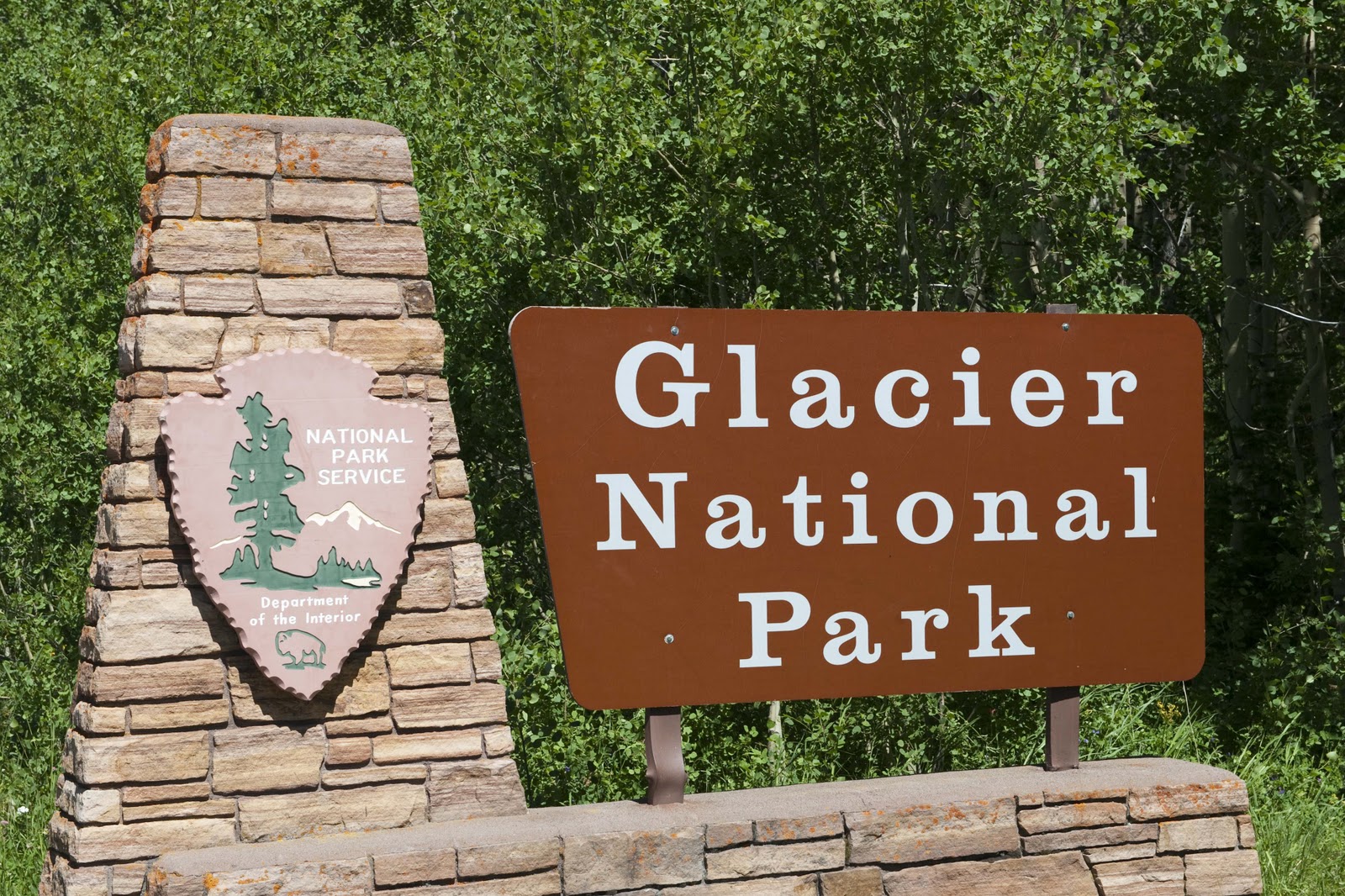
Arriving at Glacier National Park
View from our St. Mary’s East Glacier campground
This has been our ‘home’ for the last couple of days. We pulled into the KOA in St. Mary’s (on the eastern side of Glacier NP) on Sunday, July 11, and immediately headed to the Park Visitor Center to get information and ‘map out’ our hikes for the next couple of days. We also ‘investigated’ the little village of St. Mary’s before returning to Magic, our park ‘walk-about’ and dinner.

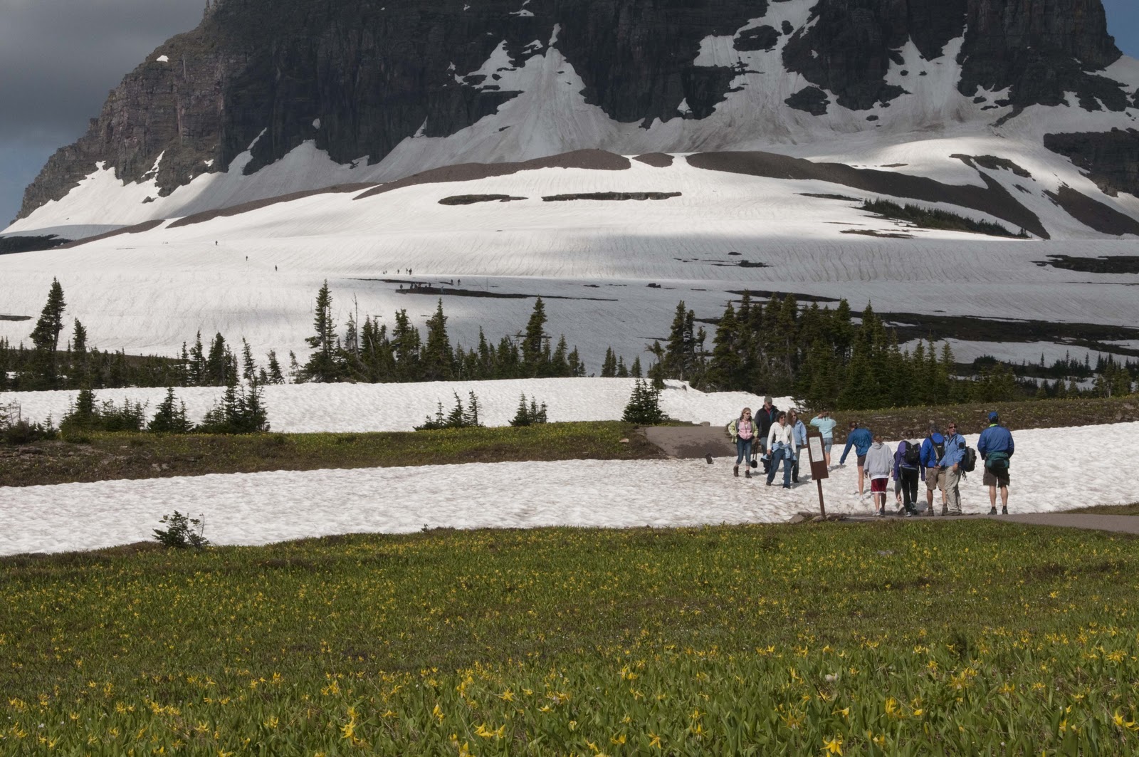
We decided that we didn’t have to be on the hiking trail at 7 every morning – so Monday, after a leisurely morning, we loaded the PB&J sandwiches, snacks and water in the backpack and headed up the St. Mary’s/Going To The Sun Road to Logan Pass, which was just opened on July 4th! We had been warned that the trail to Hidden Lake Lookout (our morning destination) still had snow on it – but, had NO idea they meant snow-packed!! It was fun to see the wildflowers at the edge of the snow, though;-)

Heading for the Hidden Lake trail – from flowers to snow in a step!
Looks and feels almost like winter

Hidden Lake at the base of the mountain

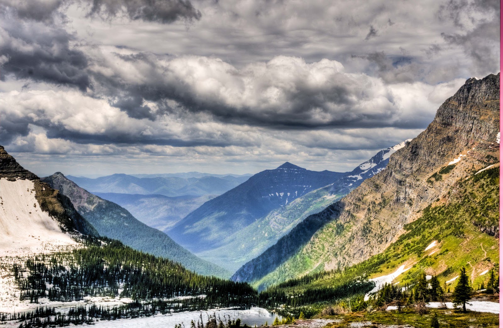
Looking down a valley from the Hidden Lake overlook
Hang on to your hat. Wind gusts of 40-50 mph
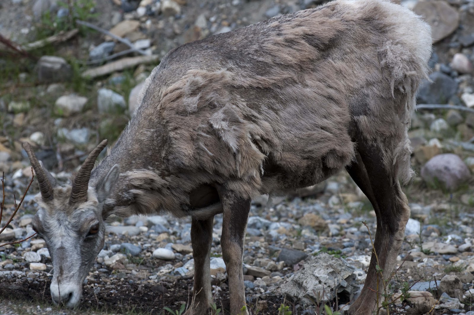
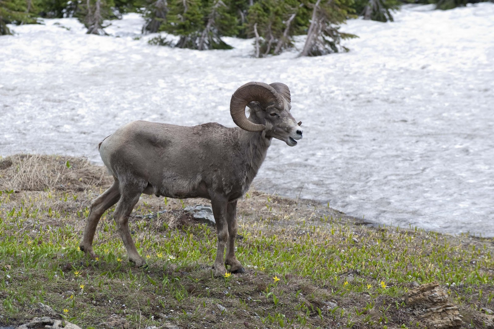
Upon our return to the car we were rewarded with a ‘1 PM show’ by the local Big Horn Sheep. They pranced and posed for pictures right at the edge of the parking lot for about 30 minutes. They sure provided a great show and completely tied up the parking lot while doing it.

This longhorn sheep was talking to us

Oh where oh where has our leader gone?
This guy was showing off

When we finally pulled ourselves away, we headed back down the Going To The Sun Road and stopped at the St. Mary’s Falls trailhead. We were off on our afternoon hike – and got two falls for the work. First was St. Mary’s Falls –

St. Mary Falls was loud and full.
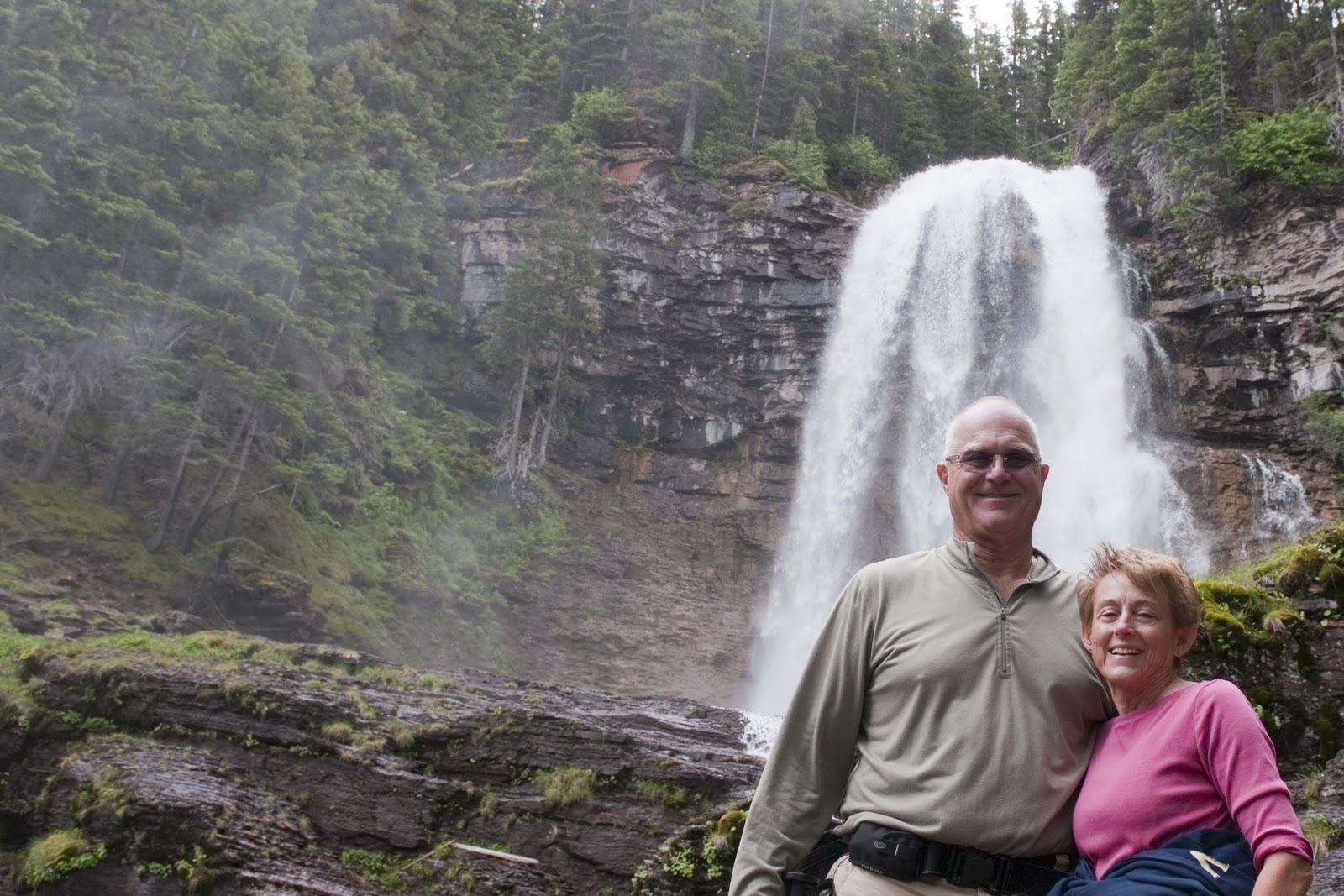
Then the Virginia falls –

Virginia Falls (not sure who it was named after)
Virginia Falls from a distance
Both were beautiful as was the hike. Not sure even my ‘crack personal photographer’ could transmit all the beauty in the pictures.

Oh – did I mention that Glacier NP is grizzly bear territory???? Well – it is – and something to be aware of as we hike;-)

Haven’t run into a bear yet this year
After these two hikes, we were exhausted and headed back to Magic to cook something up for dinner. After our beer and vodka tonic AND several Advil we were off to bed only to be awakened by the 50-60 mph wind gusts around midnight. All the slides came in and between us we did get a few hours of sleep.

Our sleepless night did slightly alter our plans for Tuesday – like our 8 mile round-trip hike went by the way side;-( Instead, we headed to the little cafe on the corner for breakfast about 9 – they are known for their pie – and YES I had pie for breakfast;-))!! (The problem is that if you don’t have pie for breakfast, or at least get it then and take it with you, they are out of it!! This is the very good reason you MUST have it for breakfast!)

We then headed a little south to the Two Medicine area – we decided a drive in the car, out of the wind, would be in order. Also, this way we didn’t have to use our legs and feet again! We did do a short mile walk to the Twin Falls when we arrived at Two Medicine – another beauty –

Twin Falls. Not sure why I m sitting. It was our shortest, easiest hike.
Bridge over troubled water? or Trouble on the bridge over the water.
You can see how Twin Falls got its name
Then it was investigate Visitor Centers and just enjoy the beautiful scenery – which there is a lot of. Oh – I forgot – we also disturbed a little herd of cattle on the way. They were laying in a wonderful field of wild flowers and I just couldn’t resist a picture

Sorry to disturb all y’all

We both were tired of battling the wind today, so we returned to Magic early, which allowed Gary to work on pictures and Elizabeth to do a load of clothes and to write this about the last couple of days.


It is now time for dinner and the All Star Game;-) Gotta go.


Wednesday (July 14th) was another travel day. But, only after breakfast at our little cafe on the corner – AND, another piece of pie;-) This was a very short travel day, though, only about 50 miles to the Canadian side of Glacier NP – Waterton, which will be our home for the next three days. We really loved this place last year – thus the return. AND, it is just as special this time – and is definitely one of our most favorite places anywhere!!


This year we stayed in the Provincial (State) campground, as it is right in the middle of the little township inside the park – and this is our view and the ‘wildlife’ that make it its home –


Great views from our campground
The deer seem at home here
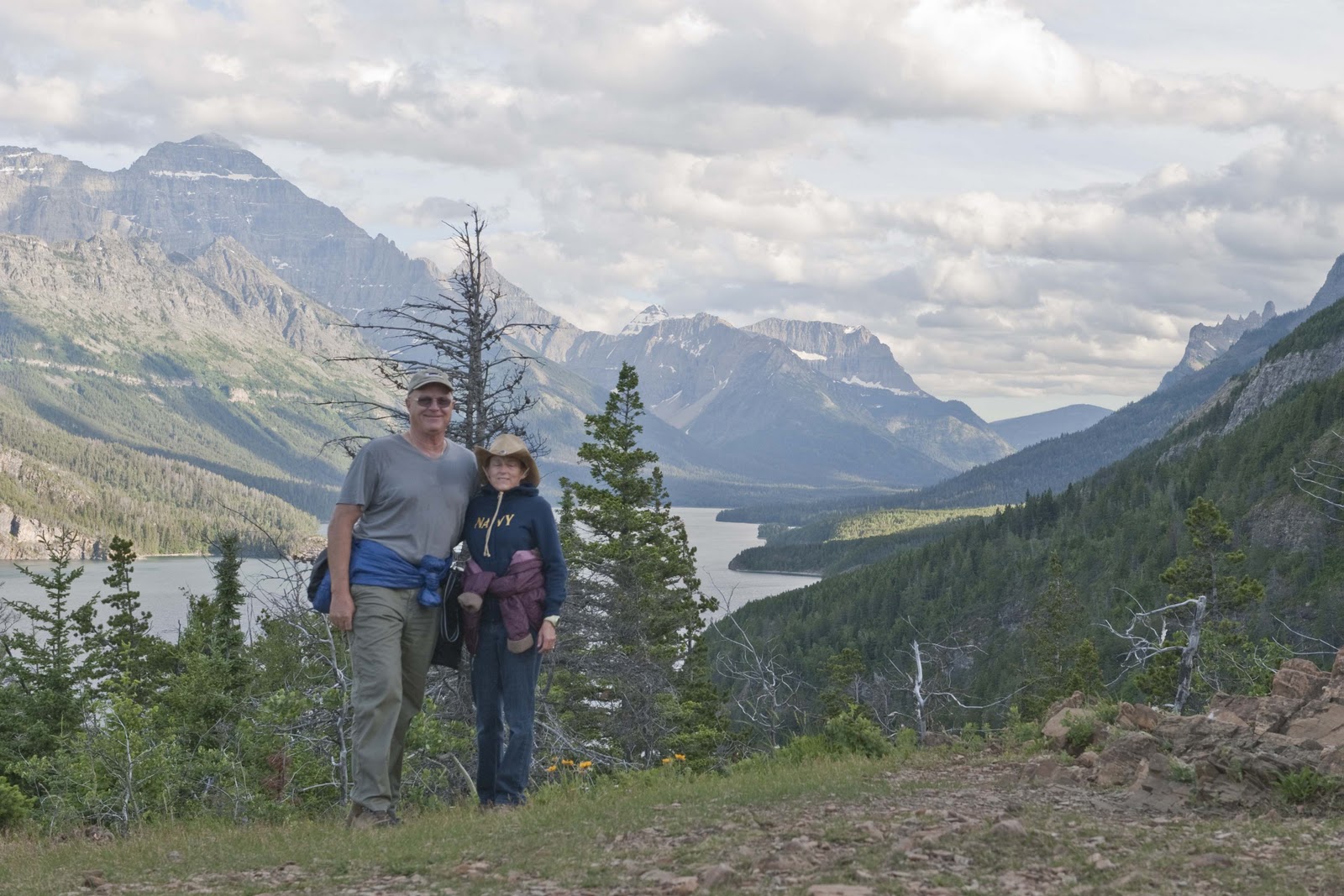
We did our usual routine after getting set up – trip to the Visitor Center to determine all the possible hikes and activities for the next couple of days and a walk about the campground. We also made a stop at the historic Prince of Wales Hotel (I provided a fairly long description of these lodges in the blog last fall as we travelled through this area – so all I will say this year is that these lodges (both in the US and Canada) were built by the RR’s and we can be thankful for them) for an afternoon snack and a drink so we could map out our next couple of days from the info obtained at the Visitor Center. Gary managed to track down an internet connection – but, determined it was not a good one;-( Back at the campground we decided it was too early for dinner – so, the little 3 mile trail at the end of the campground was calling and we were off to Bertha Falls. Many beautiful vistas of Waterton Lake, the many glacier mountains, the Prince of Wales – and the falls.

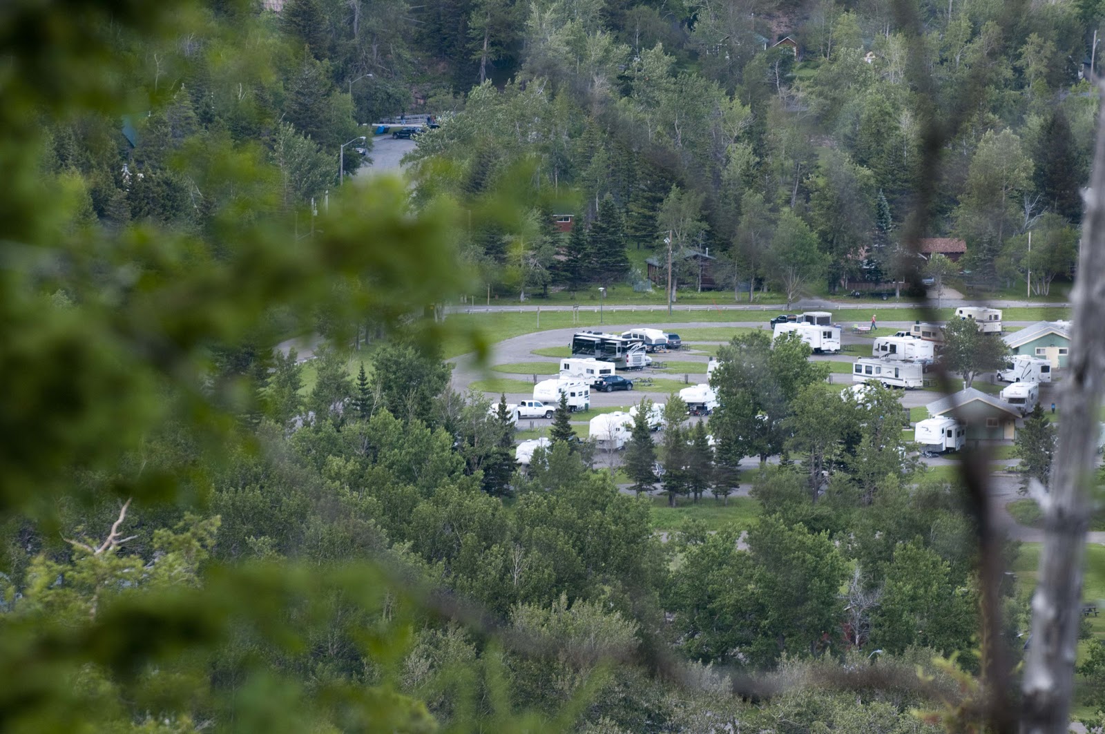
A view of our campsite from a nearby trail
Prince of Wales Lodge and the town of Waterton below
A view from the trail to Bertha Falls

Along the Bertha Falls trail

Bertha Falls tucked behind the foliage

All I can say is that there is just beautiful, wonderful scenery everywhere!!

So – Much more later (if we ever get an internet connection again) – much love – E & G


We’re Off – North to Alaska;-)

So – I am sitting here listening to the thunder from one of those wonderful storms that we grew up on in Arizona – thankful that I am in Magic and not one of those tents at Girl Scout Camp in Prescott, AZ;-( You can get VERY wet in those tents during a good old fashioned summer storm!
We have finished dinner, watched “The Big Chill” and I was going back over the last two days and figured the thoughts may as well get into the blog – so here I am.
Yesterday was a long driving day – about 10 hours – from Park City to Great Falls, MT. 5 discs of “The Girl Who Played With Fire” kept our attention and made the time fly!! We arrived in our camp for these two days and were all set up in time for dinner and our ‘walk about’ the camp. The office was full of brochures on what to do in Great Falls – so we also mapped out the activities for today.
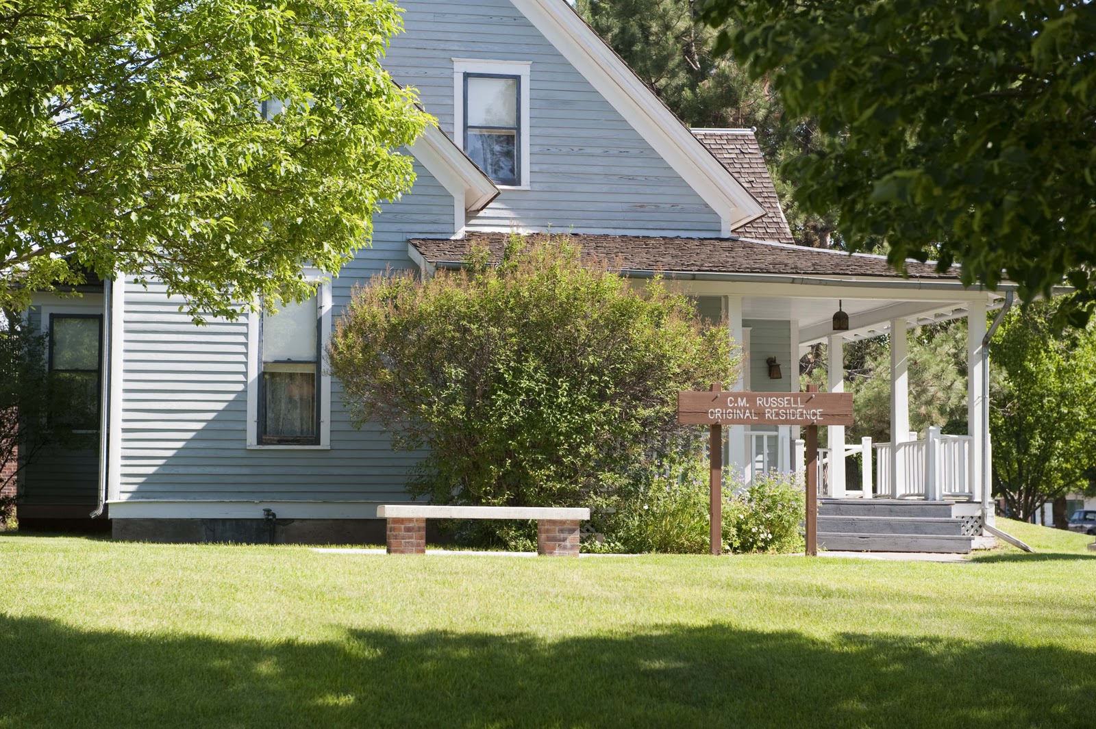
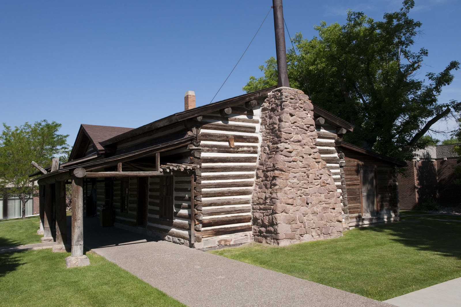
Saturday, July 10 – First stop was the Charlie Russell Museum Complex, which included a museum of his works, his home and his workshop. Russell began painting ‘his vision of the West’ when he was only 13 – living in St. Louis and painting from what he read or conjured up in his head! He followed his dream and moved west from St. Louis when he was about 22 – he never returned to his home there. We are all very lucky he didn’t – as his works of art wonderfully capture the ‘Old West’.
The C. W. Russell Home in Great Falls, Mt.
Russell’s studio
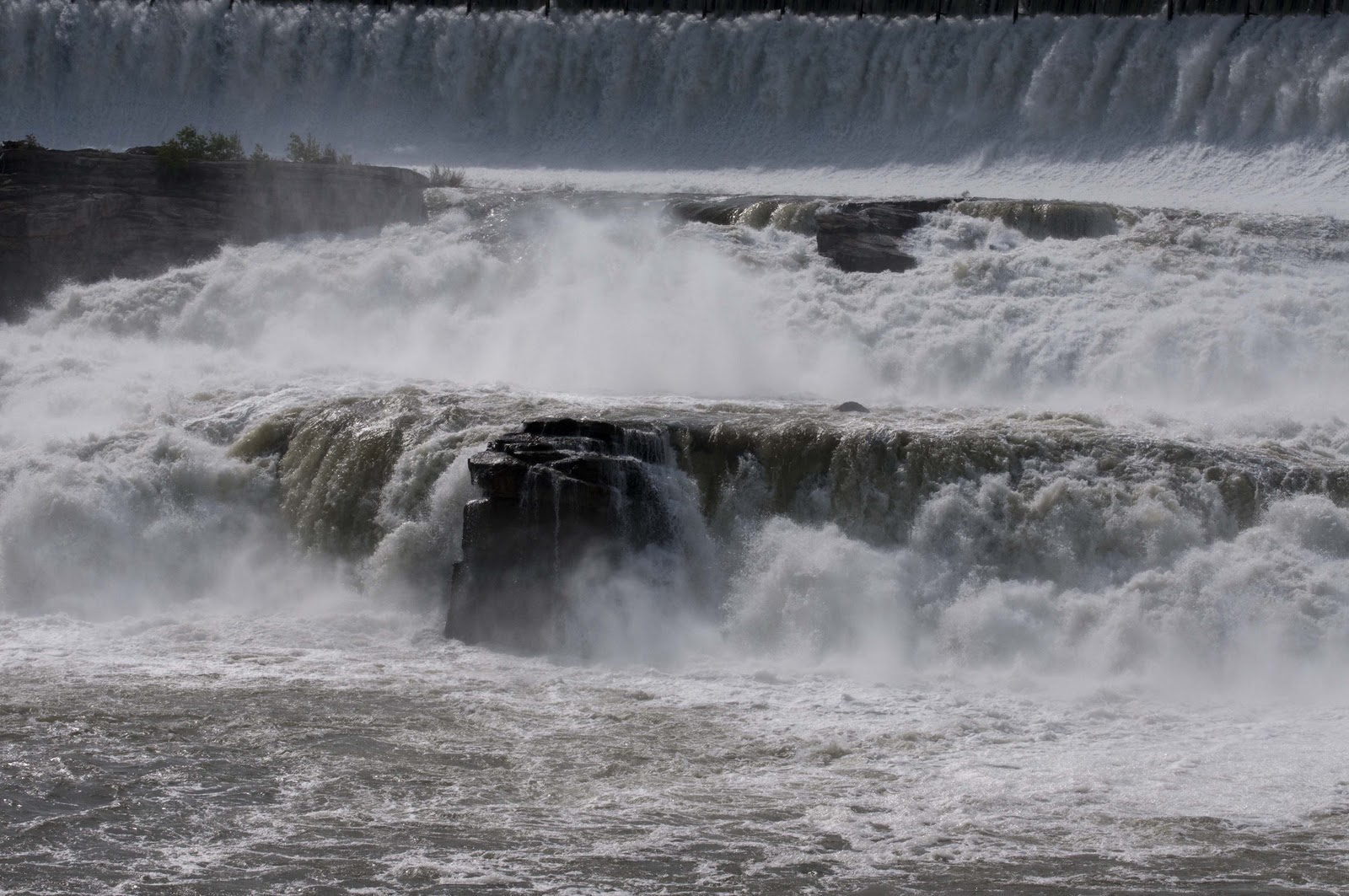
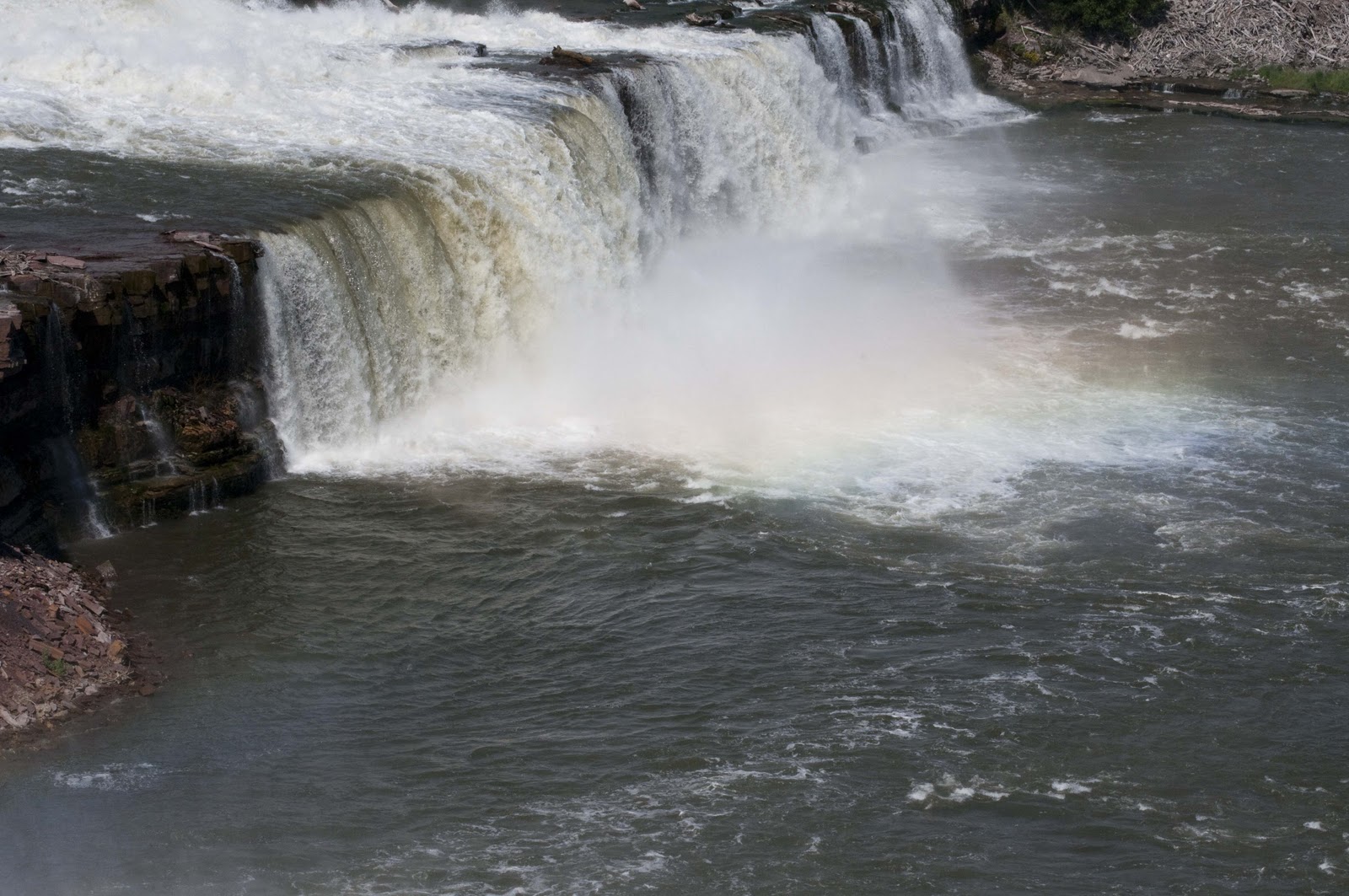
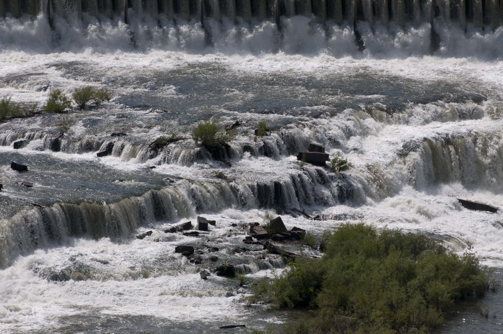
Our next stop was the Lewis & Clark Interpretive Center. When Lewis & Clark were attempting to complete their Presidential ‘charge‘ of navigating/charting the Missouri River and all its tributaries in order to figure out how much territory had been acquired by the Louisiana Purchase – and to map a route to the Pacific – they ran into a great deal of difficulty when they hit the Great Falls which reside in what is now the state of Montana. Even though they had been warned by the Indians (who were a GREAT help to them despite some history teachings) that they would encounter these falls – they were surprised when they came upon them. AND when they found four more falls (Crooked Falls, Rainbow Falls, Colter Falls and Black Eagle Falls) – they began to plan the best route for a portage, as it was impossible to ‘drag’ their boats upstream (as they had been doing) over these falls! This was the hardest and worst part of their historic venture. Lewis did have a wonderful/pleasing sighting of the Giant Springs during this ordeal – a bubbling springs of unknown origin that create the shortest river feeding into the mighty Missouri! After our stop at the Interpretive Center we were off to see the Springs and all the falls for ourselves – and here they are –

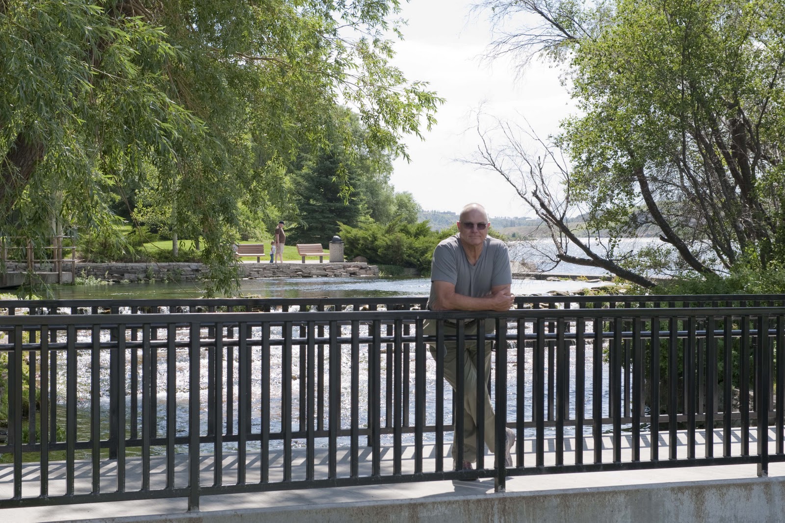
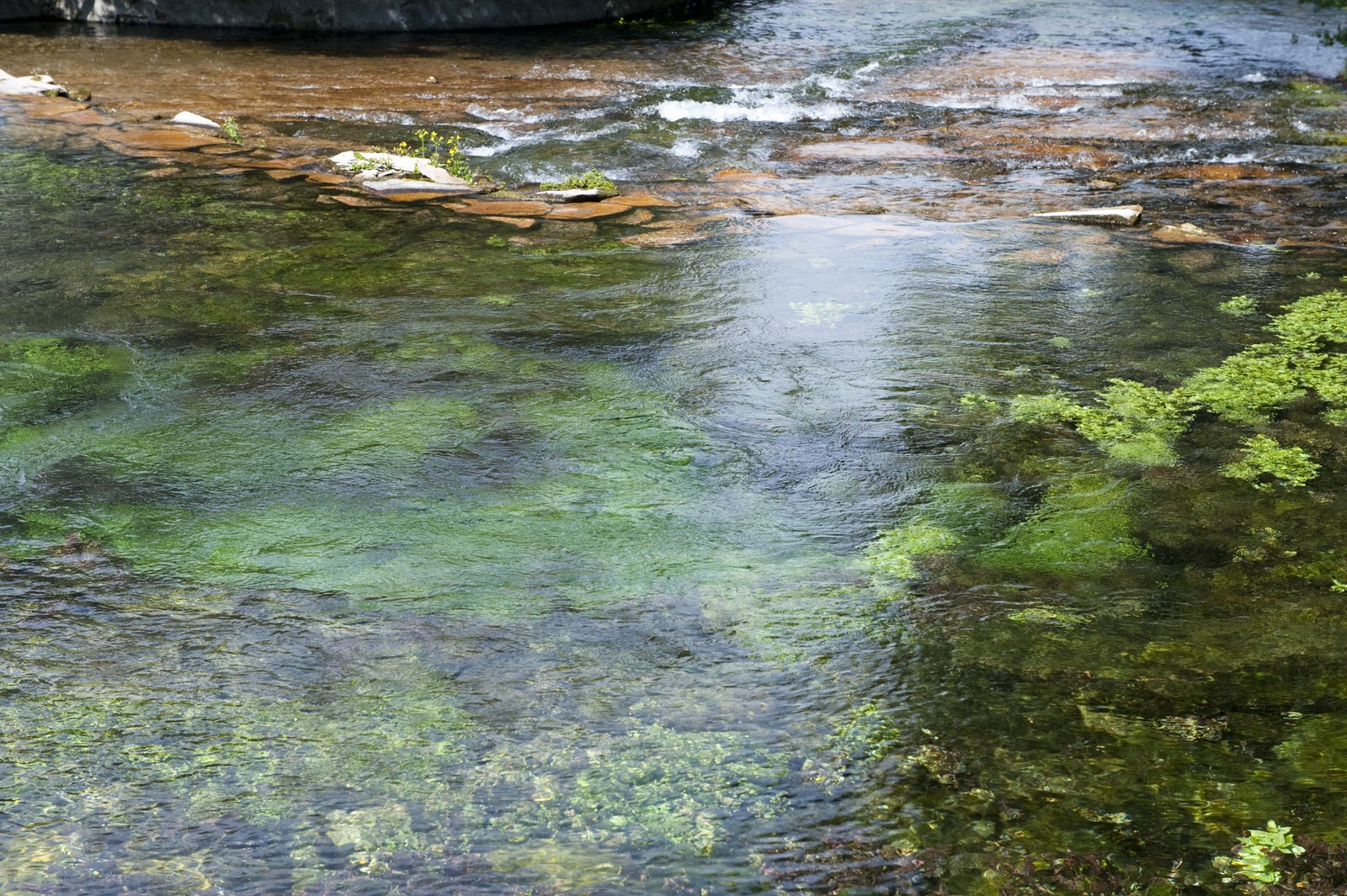
Giant Springs. Yep, that is the whole 201 foot river there.
Giant Springs up close
The Great Falls
Rainbow Falls
Black Eagle Falls

While at the Great Falls, we were watching this magnificent storm move in and decided it was best to head back to Magic for dinner, a movie and a quiet night. Tomorrow we head on north to Glacier NP and the many beauties and wonders that await us there.

More in a day or two – E & G
PS – You may have noticed that our last posting was in May as we returned home from our Spring trip and are thinking that we must have been lolly gagging during the past two months?!?! Not to worry – we did have a quick two week trip in June to California and had company in PC over the fourth;-)

Also – if you did not receive my email indicating we are back on the road again – this time headed NORTH TO ALASKA – here is a brief schedule of this trip as it is set now (always subject to change!) –

Leave July 9 – to Great Falls, MT
July 11 – 17 – Glacier/Waterton NP
July 17-23 – Golden/Jasper
July 23-August 3 – Highway to Whitehorse (stops at Vanderhoof, Smithers,
Stewart Hyder, Dease Lake)
August 8 – Dawson City
August 10 – Tok
August 12 – Glennallen
August 15 – Fairbanks
August 18 – Denali/Backcountry Lodge
August 21 – Talkeetna
August 23 – Girdwood
August 25 – Homer
August 28 – Seward
August 31 – Glennallen
Sept 1 – 14 – Make our way home????? We don’t have this entirely mapped out
other than probably make our way to Edmonton and Calgary then home.