The BIGGEST of Them All!!

Hi there!! Have you missed us this past week?? The National Parks – and our travel partners, Kacy and Dusty – have kept us VERY busy.

Alaska is an amazingly LARGE state – with VERY FEW roads!! It also has lots of National Parks – VERY LARGE National Parks!!

Kacy and Dusty made their way from Park City, Utah to Anchorage and caught up with us in Glennallen, Alaska – our base for the next few days of our trip. We made our way to Glennallen around the northern side of the Wrangell-St. Elias NP – by far the largest of our National Parks! Almost six times the size of Yellowstone it contains 4 major mountain ranges (the Wrangells, the Alaska, the Chugach and the St. Elias) – 9 of the 16 highest peaks in the US – 4 of them above 16,000 feet – more than 150 glaciers – and is part of a UNESCO World Heritage site. This park is only accessible by two rough gravel roads – Nabesna Road, which was the subject of the last posting, and the McCarthy Road, which is described below. We drove them both and they provided beauty all around!!


Mt. Wrangell, Alaska.

Our entry into the Wrangell-St. Elias NP was the McCarthy Road – a 60 mile, narrow and winding road that originated in 1909 as a railway constructed to support the Kennecott Copper Mine at the end of the road. It begins at the Copper River bridge, which crosses the Copper River – home of the Copper River Salmon. Because the Copper River is a glacier river derived from the glaciers in the National Park area (25% of the Wrangell-St. Elias MP is covered by glaciers), it carries the ‘glacier flour’, or finely ground rock, that makes the water very murky. Therefore, one can not see the salmon in the river – nor can the salmon see what might be ‘lurking‘ in the river to catch them. So – the local natives, who are allowed to subsistence fish on this river in the preserve, fish with a device called a fish wheel. It looks, and works, similar to a paddle wheel – but the ‘paddles‘ are ‘boxes’ that can catch the salmon and funnel them into a holding container. These were lined up on the river as we began our trip into the NP and we had to stop and watch – it was quite fascinating!!


Fish wheels on the Copper River.

Copper River salmon caught in one of the fish wheels. Breakfast – Yum;-((

The only unfortunate item on this particular morning was the rain – which prevented any good views of all the glaciers that surrounded us. But, no matter – the scenery along the road was beautiful. We were just glad we had the ‘KBUS’ instead of Magic – especially on the bridges!!


Bridge over the Copper River, originally built for the trains to Kennecott.

Surprised the picture is in focus, given how much my knees were knocking.
The bridge is almost 300 feet above the river.

I just liked this view along the road to McCarthy/Kennecott.

The little town of McCarthy is literally at the end of the road. Today it is a tiny community of hardy individualists – but, boasted a population of nearly 2,000 in the mining days. It provided the entertainment and the escape from the mining town of Kennecott 5 miles away!


This IS downtown McCarthy. (Dusty, Kacy & Elizabeth)

The Kennecott story is pretty amazing – as are the men that made it happen. In the summer of 1900, a couple of prospectors found the hills on the east edge of the Kennicott Glacier full of copper! In fact, one of the richest copper deposits ever found. The Havemayer family began buying up shares of the claim – and with the assistance of the J.P.Morgan and Guggenheim families – formed the Alaska Syndicate to build a railroad and develop the mines. For four years a crew built the rail bed and bridges through difficult terrain at temps down to 40 degrees below zero. At the same time, the mining claims were being developed at the Kennecott mines. About 600 men worked in the mines and in the mill town – they worked long hours at hard, dangerous work. Over $200 million worth of ore was hauled from this Kennecott Mill to the port of Cordova in the early 1900’s. Kennecott Copper Corporation invested in mines in Chile and the lower 48. By the time th Kennecott mine closed in 1938 the corporation had grown into one of the largest minerals companies in the world. Today the mine buildings are a National Historic Landmark –


The old Kennecott Copper Mill.

There is a train trestle in the back center, used to move the ore down from the mine to the mill.

A view from inside the mill’s power plant.

What could follow this up?!?! Perhaps a drive to Valdez, Alaska with more glaciers, wildlife and yet more beautiful scenery.


Pronounced Valdeez, because the early miners didn’t want to use the Spanish pronunciation.
We were not on good terms with the Spanish at that time.

The Worthington glacier in Valdez, Alaska.

After driving almost 300 miles of wilderness dirt roads over the past 2 days,
we spotted this bear and her cub in the town of Valdez

The Valdez marina.

Mmmmmmmmmmmmmm! We came to see bears eating ALL
these fish – instead we got sea lions!!

Oh boy, look at all those fish. Let’s go get some more.

Tasty!

Valdez is, of course, the terminus of the famous Alaska Pipeline which starts 800 miles north in Prudhoe Bay. But, it has its real roots in fur trading and gold and copper mining, as it was the entry point for all those coming to work in the Kennecott mine.

Our drive to Fairbanks followed the Pipeline – which again drove home the complexity of the monumental task of building this thing. The consideration given to the perma-frost in the ground, effects of warming on the ground, potential earthquakes, passing over lakes, glaciers, roads, etc. etc. etc. etc. Amazing that there has not been an oil disaster with it.


Alyeska Pipeline.

The further north we go, the bigger the mosquitos.

Fairbanks, with a population of 31,000, provided an interesting city tour, a drive to Chena Hot Springs (with more moose sightings) and a little down time to do those mundane chores of laundry, etc. – and a few nice dinners;-)


Dusty and Kacy putting the finishing touches on a delicious pesto chicken pasta dinner.

Alaska – Siberia War Memorial in Fairbanks, AK.

Ice Queens Kacy and Elizabeth. It was very cold in the Ice Sculpture Museum.

Immaculate Conception Catholic Church built in 1904, in Fairbanks, AK.
At last, a moose spotting on the road to Chena Hot Springs.

Slurp, slurp… This moss and algae really hits the spot.

Kacy testing the waters at the Chena Hot Springs.

Next stop is Denali;-) We are all soooo very excited for this little adventure and there are high hopes for lots of good pic’s with that blog posting. See you again soon –

E&G

The Bad and the Good of – FINALLY!

First the Bad part of FINALLY – the road between the Cottonwood RV Park on Kluane Lake and Tok, Alaska was FINALLY the road we had read about – and more – or less depending on how you look at it!! The trip was only 220 miles – BUT, it took 8 hours to drive it;-( There aren’t any words to describe it to you – and the pictures will not do justice to the bumps, rolls, fissures, breaks in asphalt, gravel, dirt, tar, construction, pilot cars, etc., etc., etc.!! The only good part of this drive was that Gary FINALLY got his shot of a moose – a real one and not another sign on the road;-)

Finally, after a month on the road we spotted a moose.
Finally, the rough sections of road we had been warned about.
To only partially quote Bruce Willis – “Yippee Kye Yeah….”.
Tell tale skid marks. Thankfully not ours.
These deep fissures, which had been partially filled, sometimes ran for 50-60+ feet at a time.

The Good part of FINALLY – We FINALLY made it to Alaska!! And, thank goodness we had the cute little town of Tok, Alaska to humor us at the end of the long drive.


Please note that the mosquito on top of the thermometer is not to scale.
They are actually much larger – with more blood dripping (all E’s!).

Well – you just saw the best part of Tok! Seriously – the Visitor Center gave us a list of the 5 things to do in Tok and they were visit the 5 gift/trinket shops in town. So, this little town proved to be a one-nighter (instead of the scheduled 3 nights). Our RV park there did have a one hour free blue grass performance-and it really was great;-) Made our evening. We left laughing and singing “I met my wife in a Porta-John line”!!


Tuesday we were on our way to Slana, Alaska – the entry to the northern reaches of the Wrangell-St. Elias NP. This was an unplanned stop, but the Hart D Ranch and RV Park was our home for a couple of days and served us well –

We were the sole occupants at this the Hart D Ranch on our first night here.

Wednesday, “The Road Less Traveled” was our activity. Nabesna Road basically begins at the Hart D Ranch and winds 42 miles into the Wrangell-St. Elias NP. The road is gravel or dirt and crosses creeks/rivers. (It depends on the time of the year as to whether it is a creek or a river. Early spring when it is a river – you don’t cross and go to the end of the road!). A drive on this 42-mile long road is much the same today as it was when the Alaska Road Commission built it in 1934 to connect the Nabesna Mine (the end of the road) to the port in Valdez. The drive is an adventure in the midst of the Wrangell, Mentasta and Nutzotin Mountains. Along the way one finds lakes, streams, hiking routes and opportunities for wildlife!

Another moose sighting. This mom and calf hung around for several minutes.
A distant view of the snow capped Wrangell Mountains.
Our next segment will be to go around to the other side of that range and explore some old mines.
Part of the old Nabesna mining road built in 1934. Narrow, but still serviceable today.
Along the old mine road we spotted this plywood crypt. No headstone or other identification,
but you can see the flowers (I think they are artificial) on the left.
Elizabeth driving through one of the creeks that flow across the road.
It gives a clearer meaning to the phrase “good Lord willing – and the creek don’t rise.


Tomorrow is on to Glennallen where we FINALLY meet up with our friends from Park City and investigate the Wrangell-St. Elias NP from the other side;-)


XOXOXOXO – E & G


OMG!!

Here are Saturday’s top three picks – 1) Haines Junction, Yukon Territory, 2) Kluane National Park in the Yukon Territory and 3) Cottonwood RV Park on Kluane Lake.

Haines Junction – Home to over 800 residents, many of whom commute to Whitehorse for work (about 100 miles one way!). They at least have eagles to soar for them along the road –

We interrupted this eagle while it was lunching off to the side of the road.
It immediately headed for the trees.

The look seems to be saying “thanks for screwing up my lunch”.
Now it is just waiting for us to move on down the road.

For those coming or going to Alaska – Haines Junction is a decision point. Does one head south to Haines, Alaska or north to Fairbanks, Alaska. (Haines Junction is, however, still in the Yukon.)

Hang a right!

But, Haines Junction is much more than a decision point. It is surrounded with spectacular mountain views in every direction, borders on the Kluane NP and has the Kluane Lake (largest lake in the Yukon) nearby. The Village Monument – probably the most photographed spot in Haines Junction – is a ‘tribute’ to the incredible range of wildlife that packs the nearby National Park. It is a 24-foot-high sculpture of a mountain displaying the Dall sheep, caribou, moose, wolves and grizzly and black bears that inhabit the area.

The most shot image in Haines Junction. Perhaps that is because, like us, animal pictures are
needed to show off to family and friends. Most of the animals are still avoiding us.
Here are today’s moose and dall sheep sightings.
Ahwww, look at the grizzly and elk. Aren’t they handsome?
Haines Junction also houses the Visitor Centre for the Kluane National Park, a beautiful little ‘Welcome Park’, many delightful little restaurants, a bakery that will put pounds on with the smells, the proverbial General Store and scenery, scenery and more scenery!

I’m enjoying the view of the beginnings of the Kluane mountain range from the
Welcome Park.

Kluane National Park – Almost 14,000 sq. miles of protected, pristine wilderness which includes Icefield Ranges that are Canada’s highest and the world’s largest nonpolar alpine ice field. This NP is 80% ice and rock! Very little green. AND – remember those UNESCO World Heritage Sites (Jasper and Banff NP’s along with other surrounding parks and Glacier NP (US) combined with Waterton NP (Canada)) – well, Kluane NP and Reserve along with Alaska’s Glacier Bay NP and Wrangell-St. Elias NP (visiting next week) are all another joint UNESCO World Heritage Site!

The Alaska Highway parallels the Kluane Ranges (which are part of the St. Elias Mountains – and all are part of the NP) through this stretch – providing the stunning scenery.

The Kluane Mountains are beautiful and in vivid color right now. The cloud cover isn’t too shabby either.

Then – the Kluane Lake (largest lake in the Yukon Territory) pops up. Just don’t know how much more of this beauty we can take. Which brings us to –

Cottonwood RV Park on the Kluane Lake – A Wilderness Paradise! Probably the first private park we have pulled into that looked as beautiful as the pictures. We are right on the lake with unbelievable views out our picture window – yet again!!!! Just the way we like to camp;-) The pictures will tell the story –
Another lake, another front row seat. I’m afraid we are spoiling Magic.

Elizabeth couldn’t wait to get the S’mores – but catch the view!!

Wine, cheese and a warm fire (along with the blue anti-mosquito machines)
I saw a bumper sticker today that said
“There is not a single mosquito in the Yukon. They all are married and have very large families”.
Caught in the act again. Never could get the ducks to swim close enough for a usable shot.

Are the S’mores ready yet???

Boil and bubble, toil and trouble.
The views across Kluane Lake from our campsite are stupendous.
The clouds just keep slowly roiling and morphing the shadows on the ground beneath them.

We understand that there is a grizzly bear family living on this mountain across from our campground.
And they visit the camp regularly. Still waiting for that to happen. Camera at the ready, of course.

Sunday was just a lazy day no matter how you look at it. We did manage a short (only about 1.5 miles) interpretive hike on the old Alaska Highway to Soldier’s Summit, the point where the ribbon cutting celebration took place to ‘open’ the highway on November 20, 1942. Hiking this original portion of the Highway, we were very grateful for the many improvements over the years –

The old Al-Can Highway can be seen in the foreground, with the new highway in the background.
Another view of the old highway. It is hard for me to believe that my Uncle Pete and his family of 5 drove from Cheyenne, Wyoming to Fairbanks, Alaska on this old highway.
This was in 1959 in a 1955 Chevy station wagon.

Now all we have to watch out for are limited shoulders and the ‘frost heaves’! Frost heaves result from ice forming beneath the surface of soil during freezing conditions in the atmosphere and causes the road to ‘buckle’;-( The Canadian Roads Dept. is fairly good at placing warnings where this has occurred – which is important. If one does NOT slow down before going over this abrupt roller coaster – especially in something like Magic – one winds up airborne*@$%@! One becomes VERY adept at reading the warning signs VERY quickly. Those provided by the Roads Dept. consist of 1) the diamond shaped warning sign for ‘bumps’ just before you hit the frost heave – this is the least used method and 2) the little orange flag by the side of the road at the point where the frost heave actually is – more commonly used BUT, not at every frost heave.

The dreaded bump sign and red flags mean “watch out – frost heaves/ROUGH road ahead”.

Then there is the third warning sign – not left by the Roads Dept. at all – but by some unsuspecting motorist!! The skid marks –
We keep our eyes pealed. Skid marks are another warning sign that frost heaves are imminent.

The driver’s eyes are glued to the road watching for these skid marks at all times!!

One other interesting bit of history on the Highway Ribbon Cutting Ceremony and the Alaska Highway (which by now I am enamored with, in case you couldn’t tell) – at the summit there is a recorded CBC news broadcast from the day of the ceremony, which is quite interesting to listen to. There are also the flags of the US and Canada at the spot. However, all the pictures of the days festivities show the US flag and the Union Jack – of course, it was 1942!


At Soldier Summit, where Al-Can Highway ribbon cutting ceremony was held.

On our way again tomorrow – Alaska or bust!

Lots of Love to you all – and hope you are enjoying some of this –

E & G

Some Truly Amazing ‘Stuff’

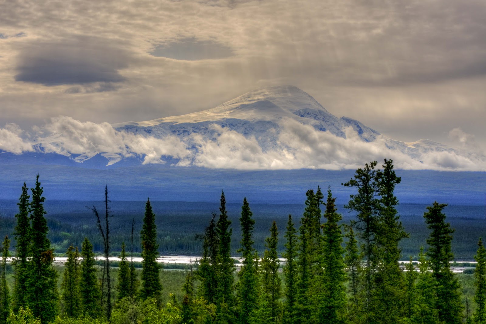
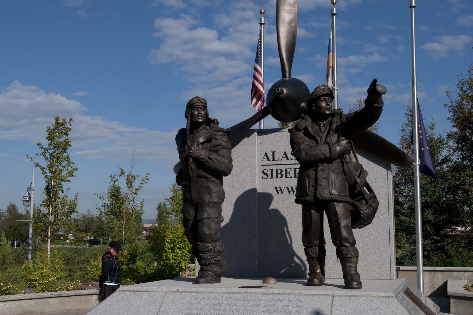
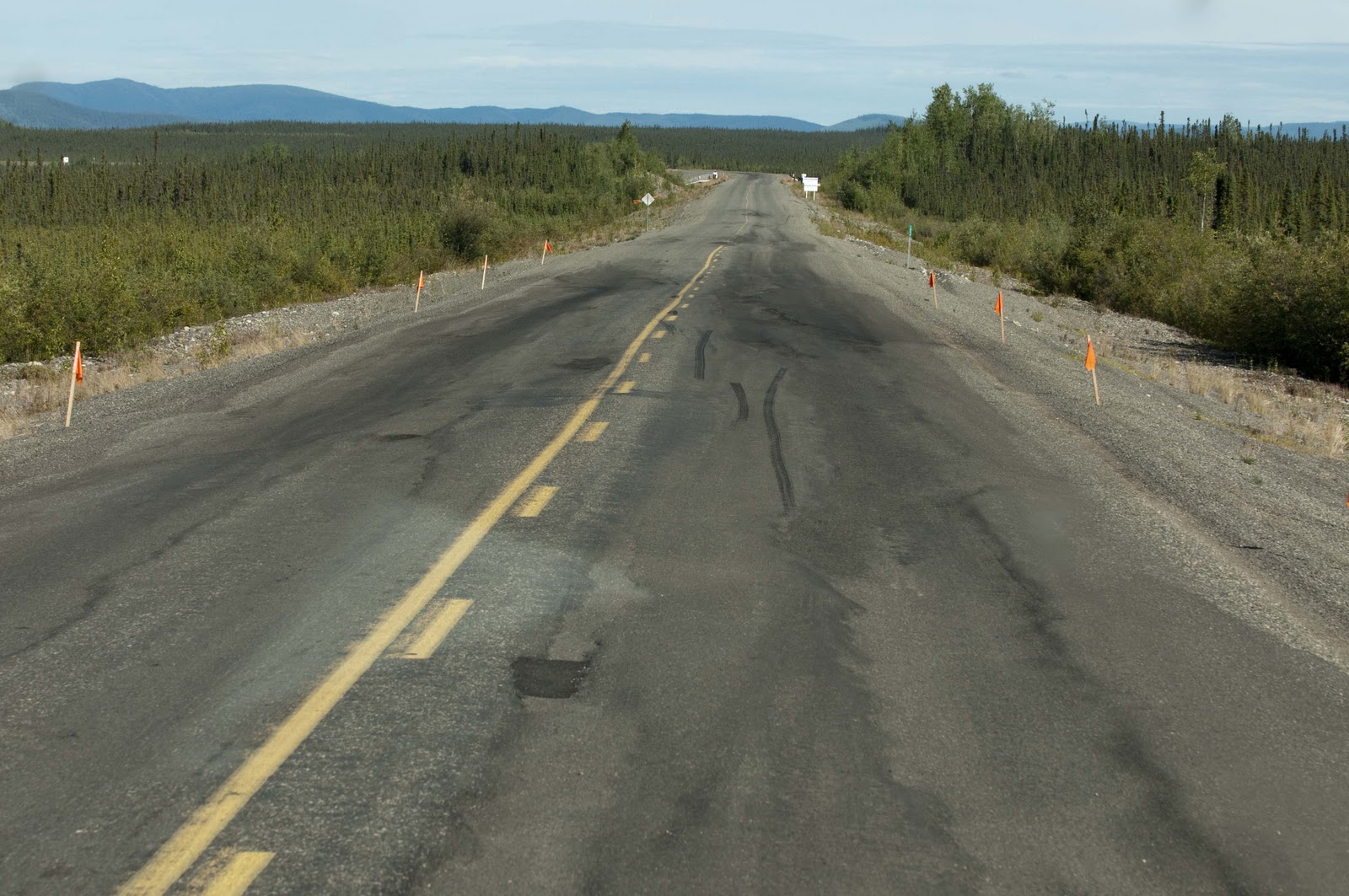
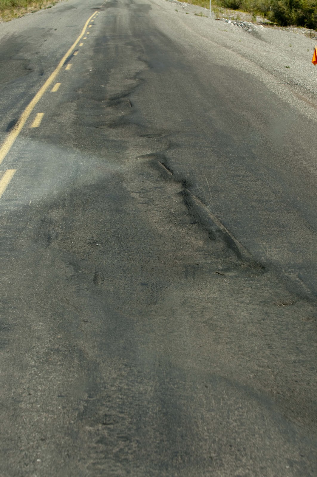
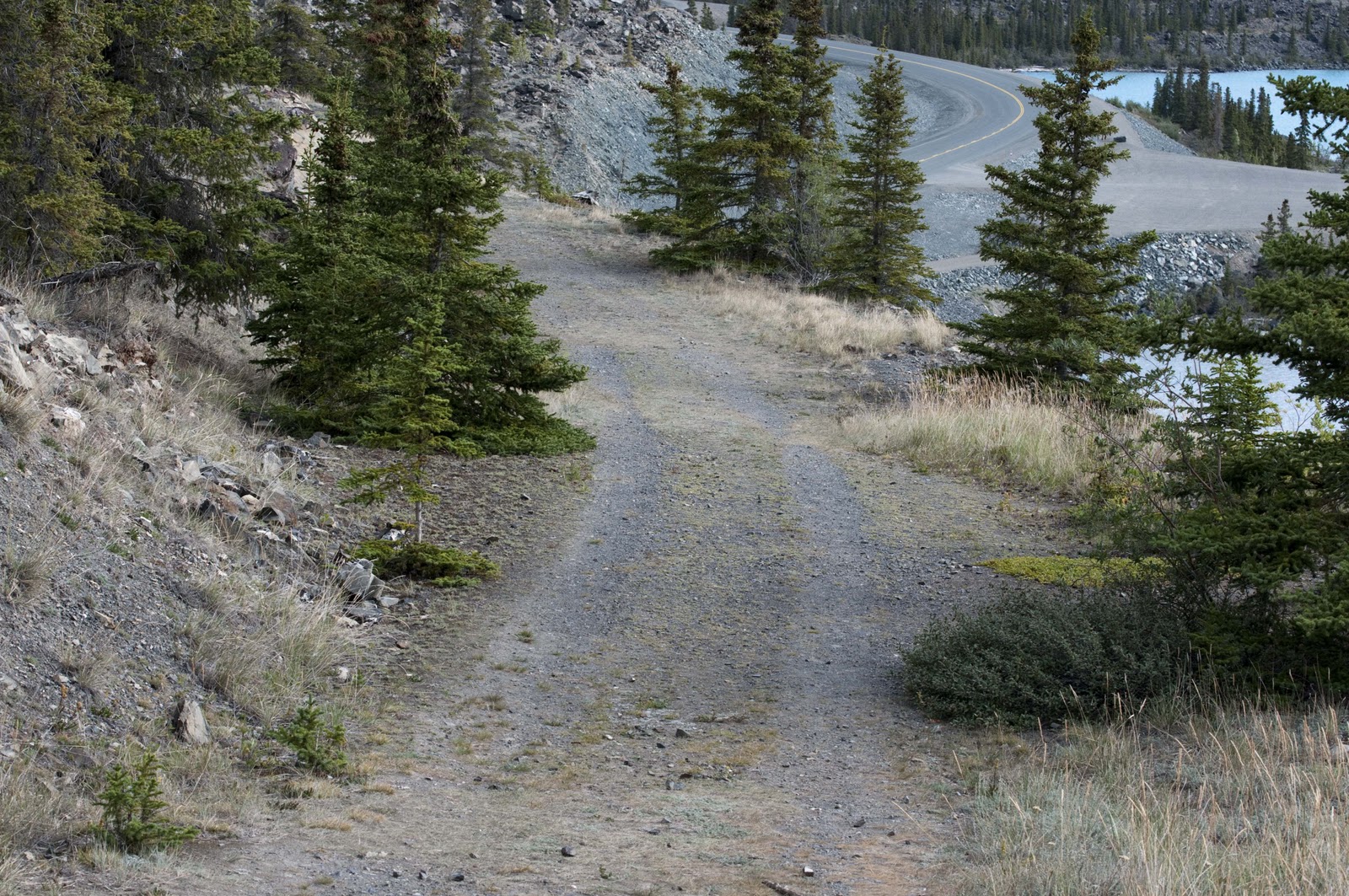
The Alaska Highway – It is hard to believe that as little as 70 years ago there was no road (not even a bad one) connecting the lower 48 states with Alaska – which means there also was no road in this part of the Yukon territory! Although the potential of such a road had been studied as early as 1930, under President Herbert Hoover, it was not until the bombing of Pearl Harbor in December, 1941, that it was deemed a military necessity. President Roosevelt authorized construction of the “Alcan” Highway (the military acronym for the Alaska-Canada Highway) on February 11, 1942. The US secured rights-of-way through Canada in March. The formal agreement between the 2 countries stipulated that the US pay for construction and turn over the Canadian portion of the highway to the Canadian government after the war ended. In turn, Canada furnished the right-of-way; waived import duties, sales tax, income tax and immigration regulations; and provided construction materials along the route.


Also during that first month was a massive mobilization of men and equipment. There was the organization of civilian engineers, trucks, road-building equipment, office furniture, food, tents and other supplies – all to be located and shipped north. By June (less than 3 months from the start) more than 10,000 American troops had poured into the Canadian North. Guess they didn’t have a Congress and media to debate all the pro’s and con’s for 2 years before they went to work!!!!

Some sections of the Alaska Highway followed existing winter roads, summer pack trails and winter trap lines. Where no trails existed, reconnaissance parties scouted through river valleys and mountain passes, often struggling through waist-deep snow and climbing over boulders as big as boxcars, to find the best route. Recon parties often depended on local guides to help locate possible routes.


In June, 1942, the Japanese invaded Attu and Kiska Islands in the Aleutians, adding a new sense of urgency to completion of the Alcan. Crews working from east and west connected at Contact Creek on September 15, 1942. By October, it was possible for vehicles to travel the entire length of the highway. The Alcan Highway was officially renamed the Alaska Highway in March, 1943, and opened to the public in 1948.


If you travel in this part of the world and see how huge this territory is – it is unbelievable to think it possible to lay down 1,534 miles of highway through this wilderness in just 8 months and 23 days!! Especially when it is not in your country – not on land you own – and not close to any normal supply outlets! An amazing feat. Today, we can’t resurface an existing road of this distance in that amount of time;-(


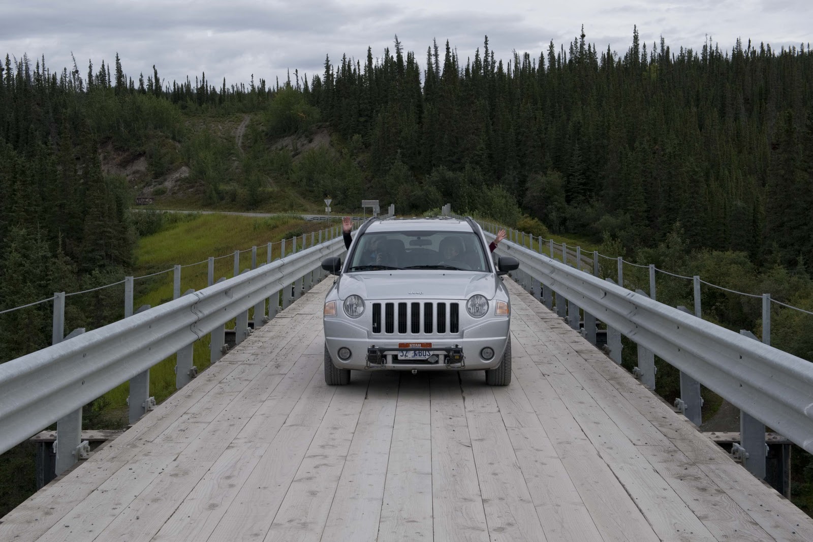
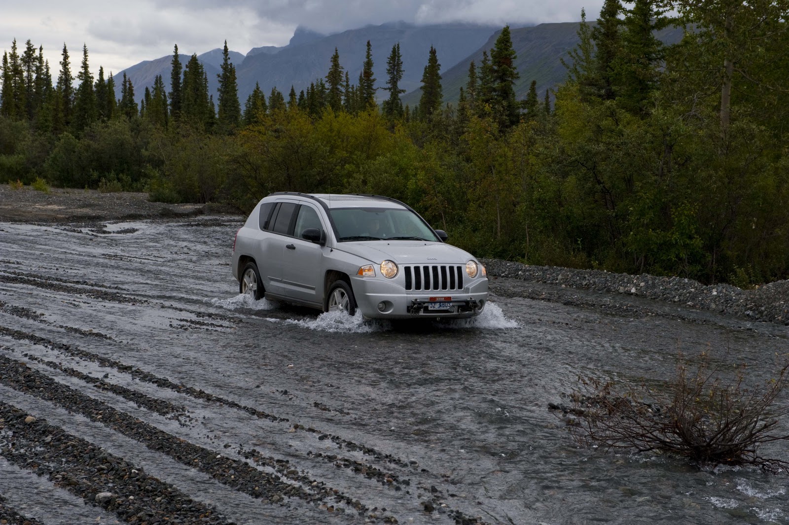
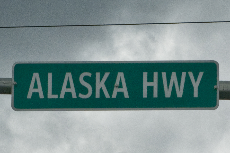
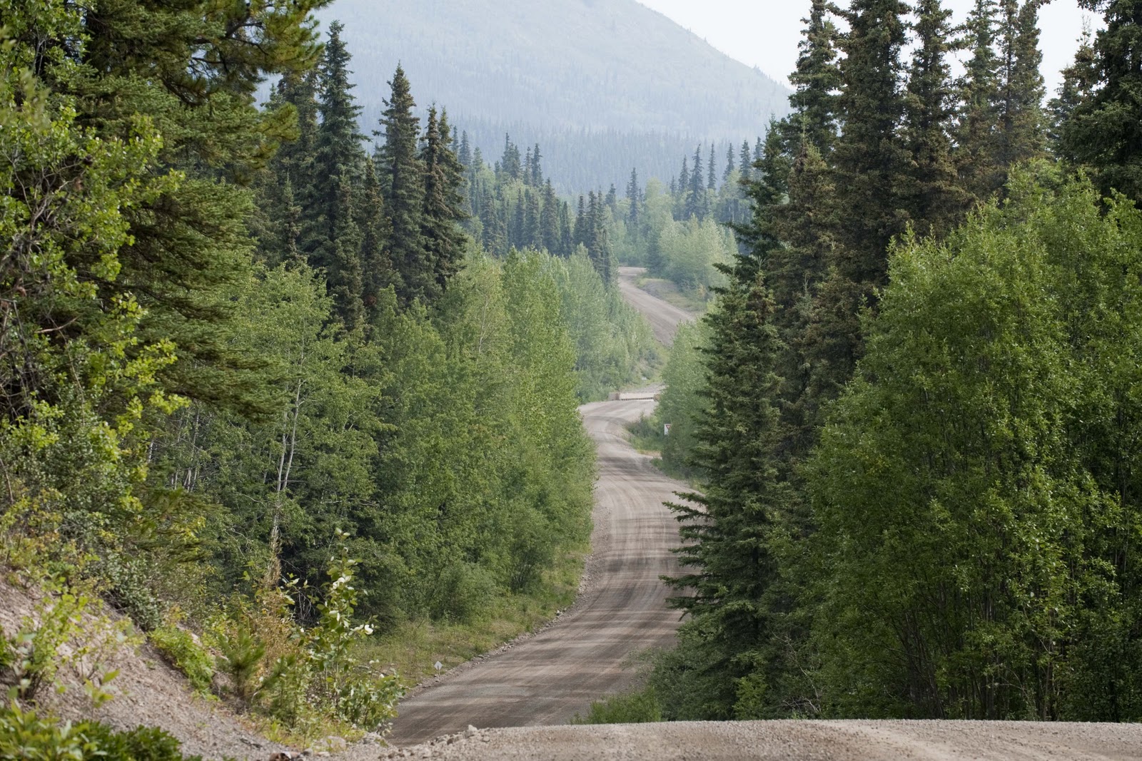
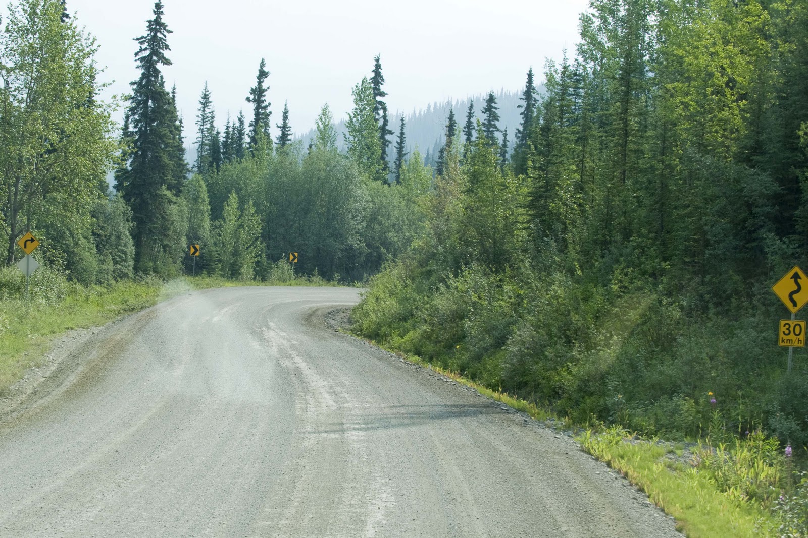
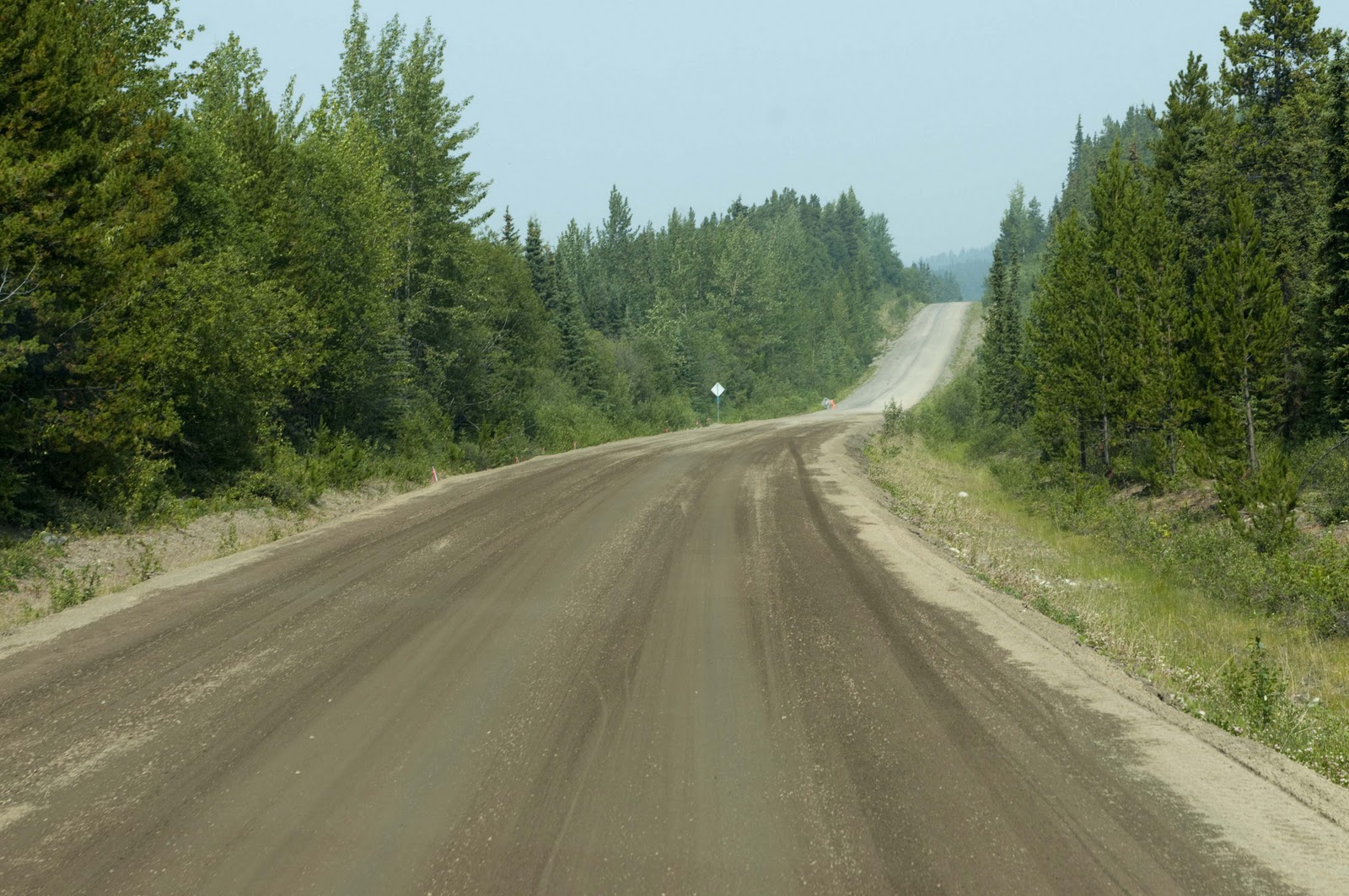
Ah, we have finally made it to the Al-Can Highway.

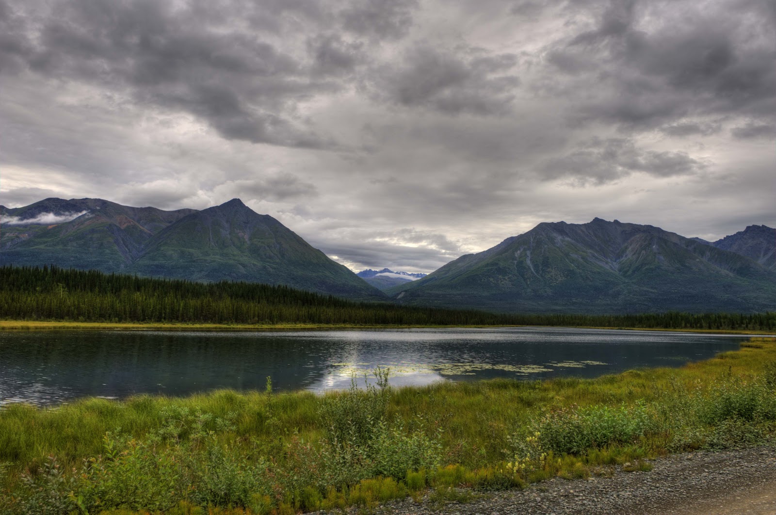
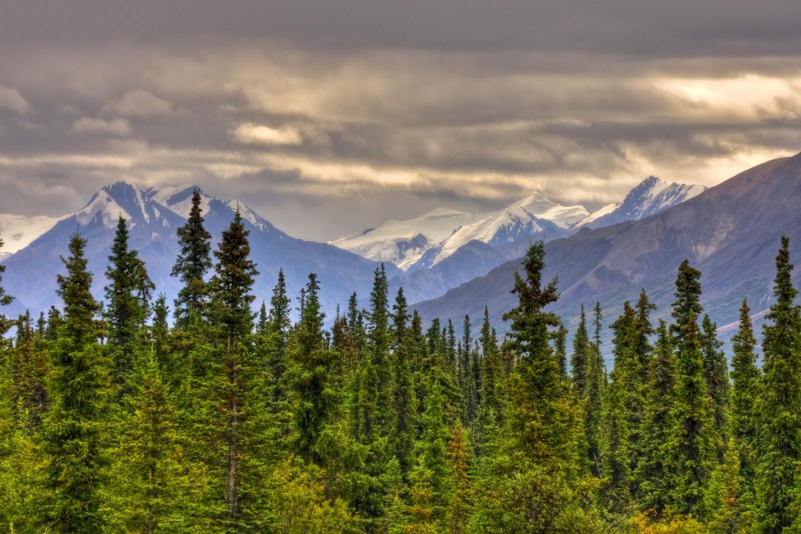
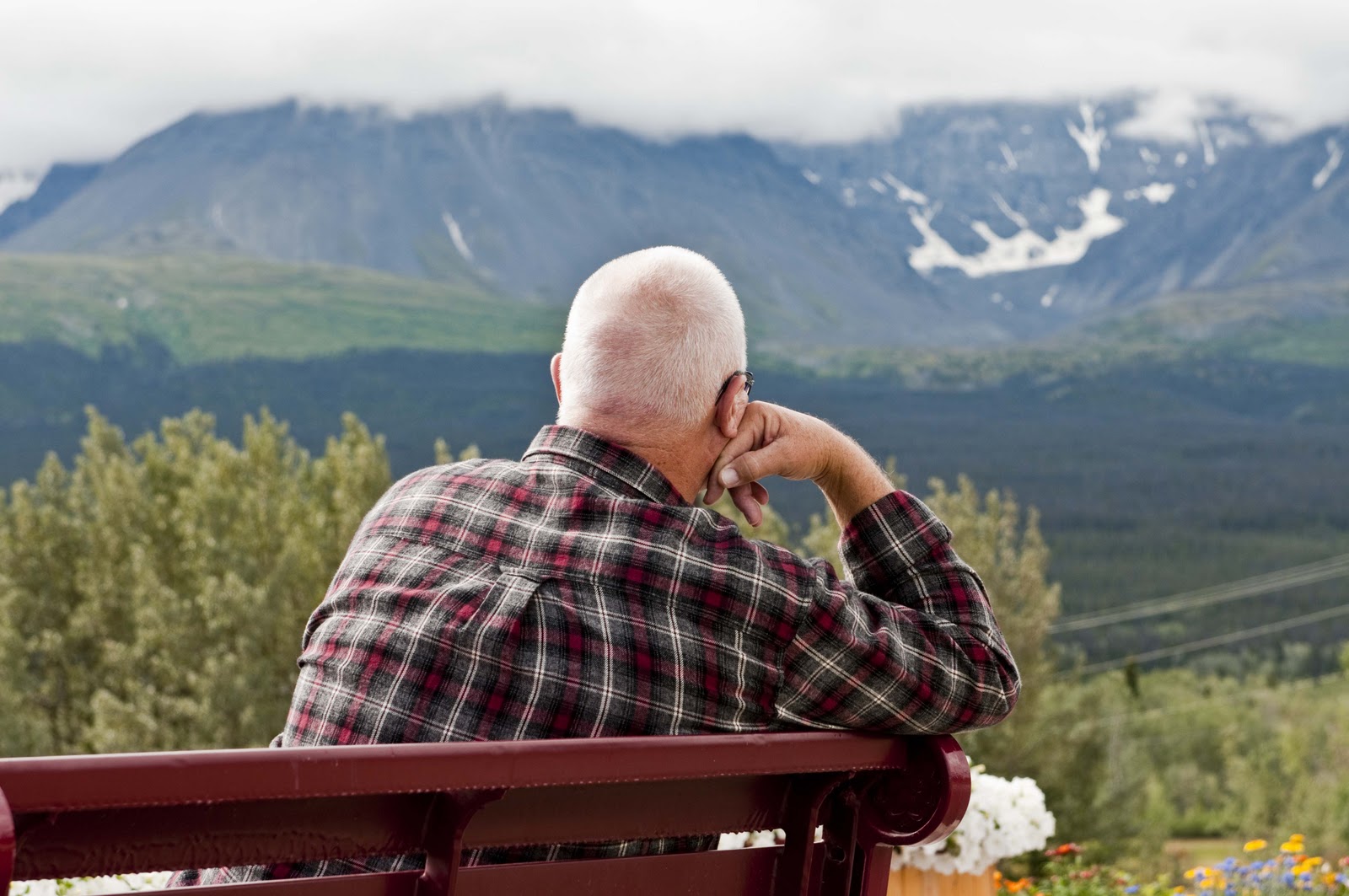
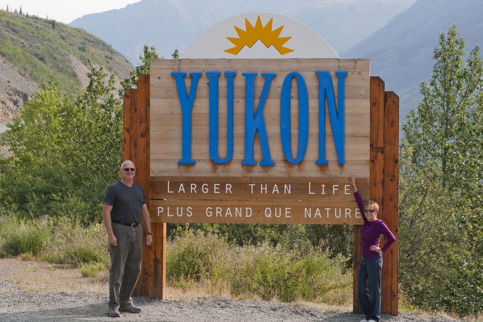
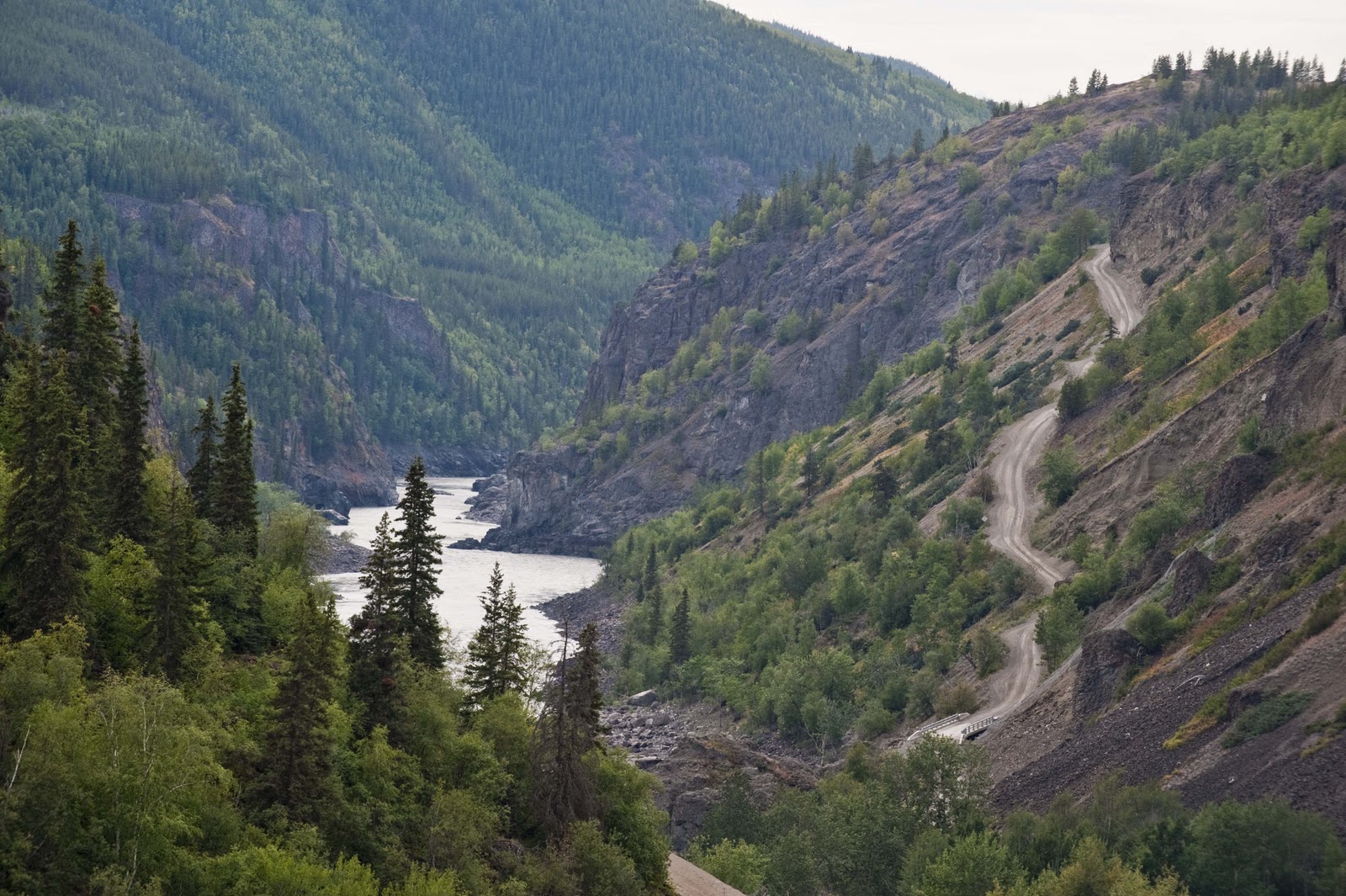
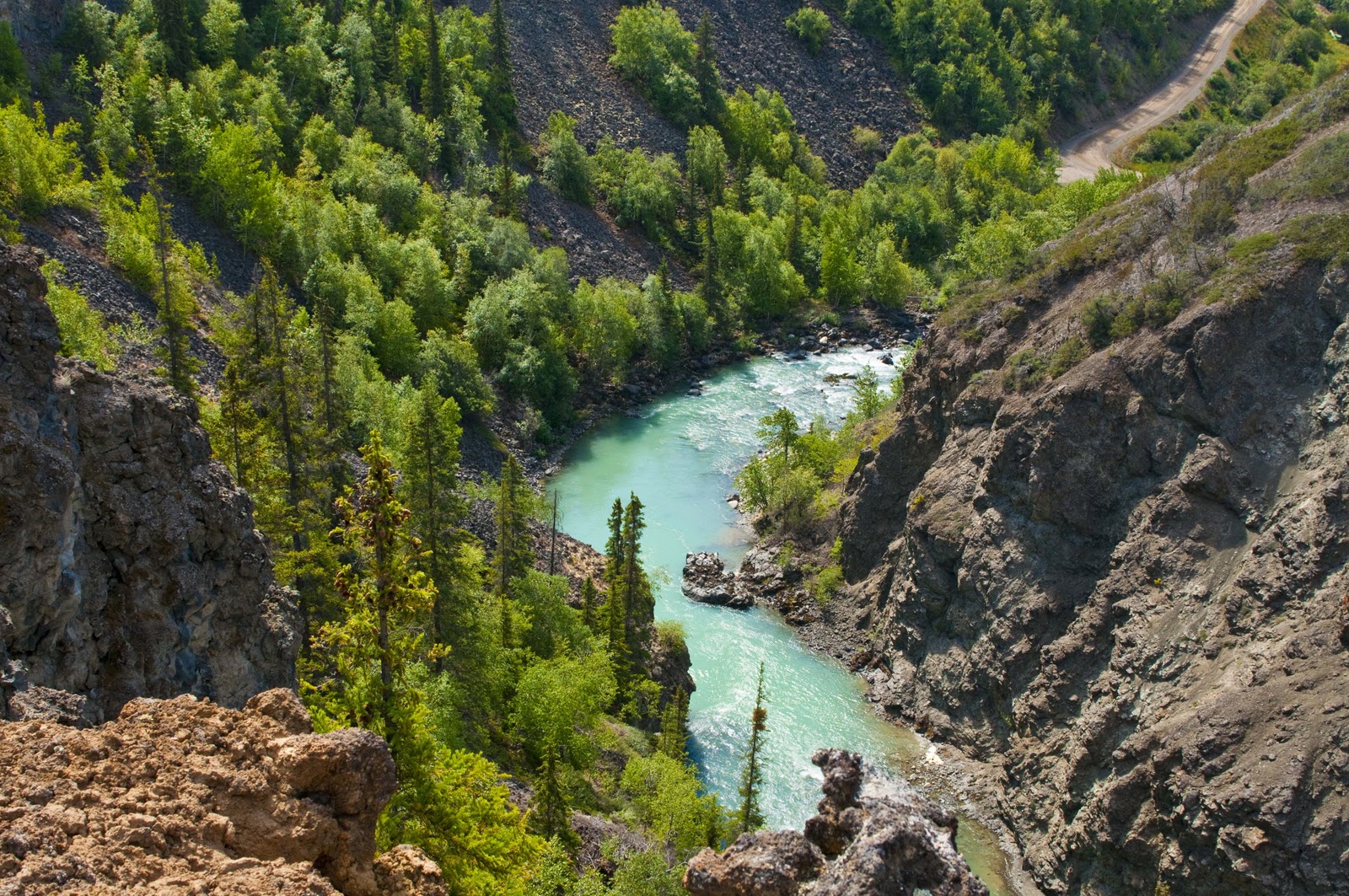
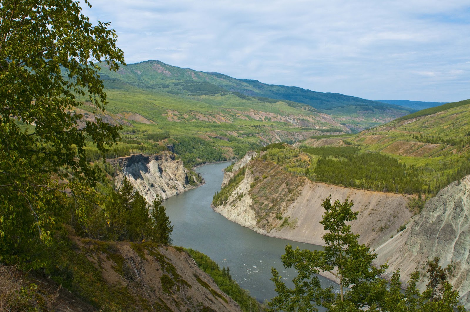
The Yukon Territory & Whitehorse – Perhaps the following information on the Yukon Territory will help put the enormity of the above project in some kind of context. As one drives into the Yukon, the welcome sign says “Larger than Life”!

The Yukon Territory certainly is larger than life.

This is true. Not sure I can explain, but when we turned the corner onto the Alaska Highway into the Yukon Territory it DID appear that the land went on forever. That it truly is “Larger than Life”!! The area of the Yukon Territory is almost 190,000 square miles – the approximate equivalent of California and South Carolina added together. Yet the total population of the entire area is 33,000!! AND, 26,000 of those people live in the capital of the Yukon – Whitehorse. (I have NOT missed any ‘0’s’ here. The population of the entire Yukon Territory – an area equivalent to the combined area of California and South Carolina – is approximately that of the county we live in!!) And this is today – imagine the population back in the 1940’s when the Highway was being built. Not much in the way of man power in the area to call on for help.


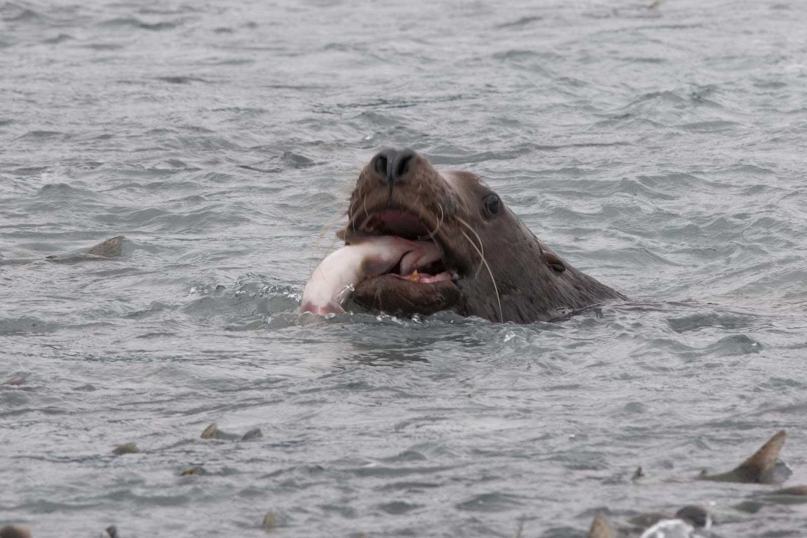
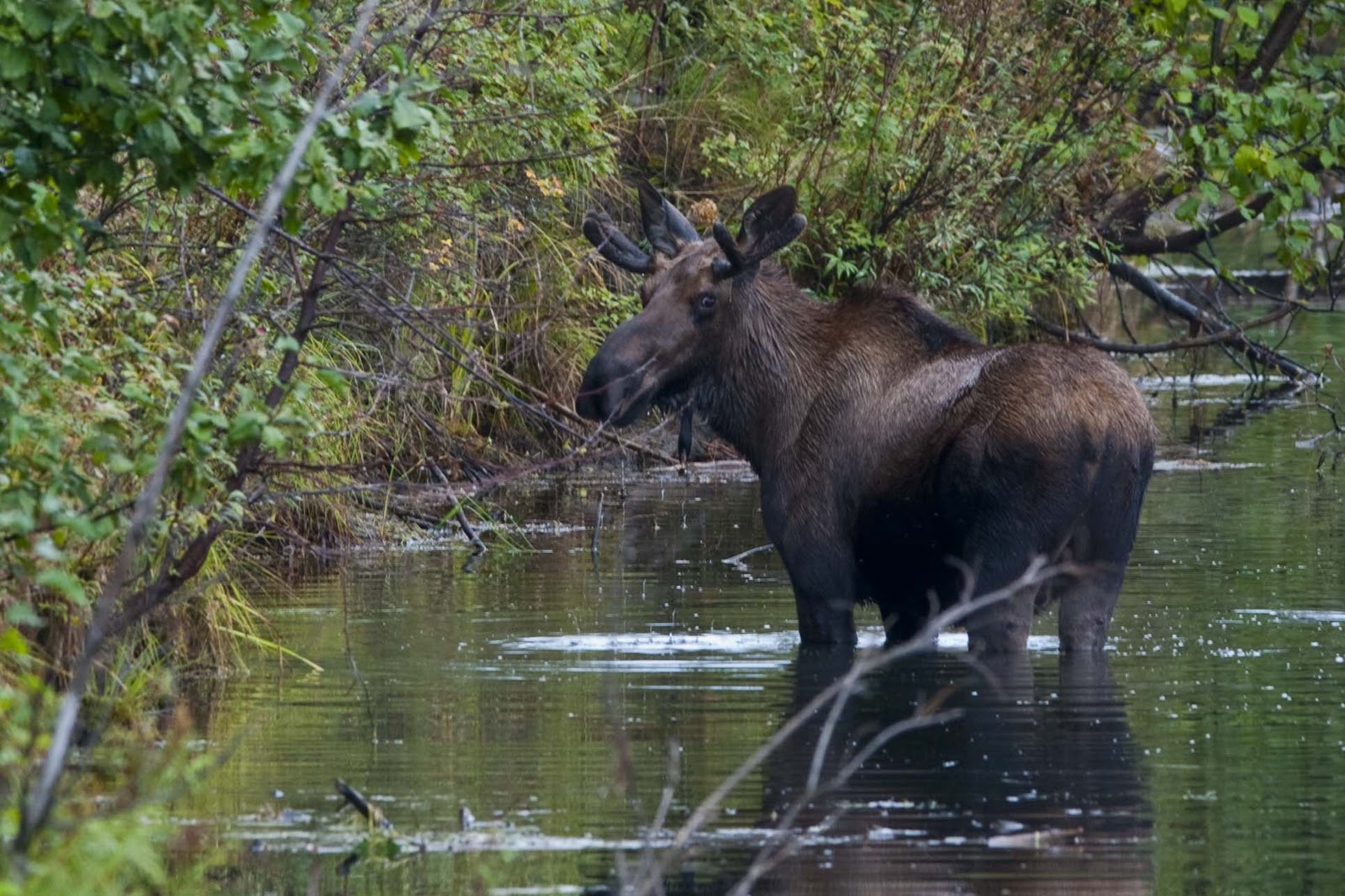
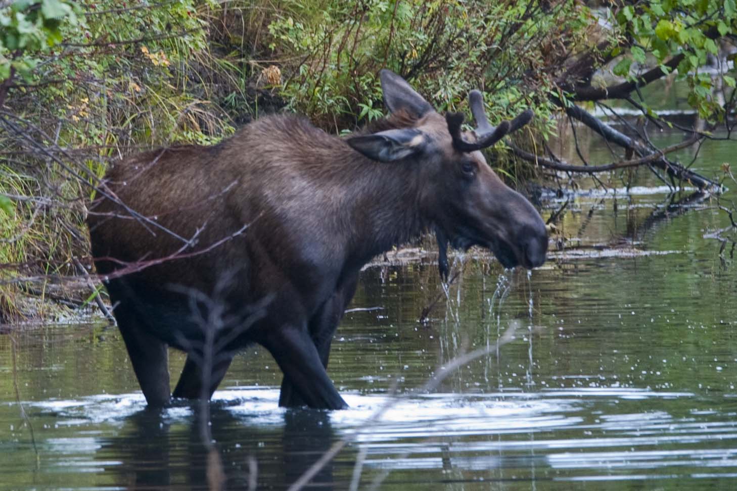
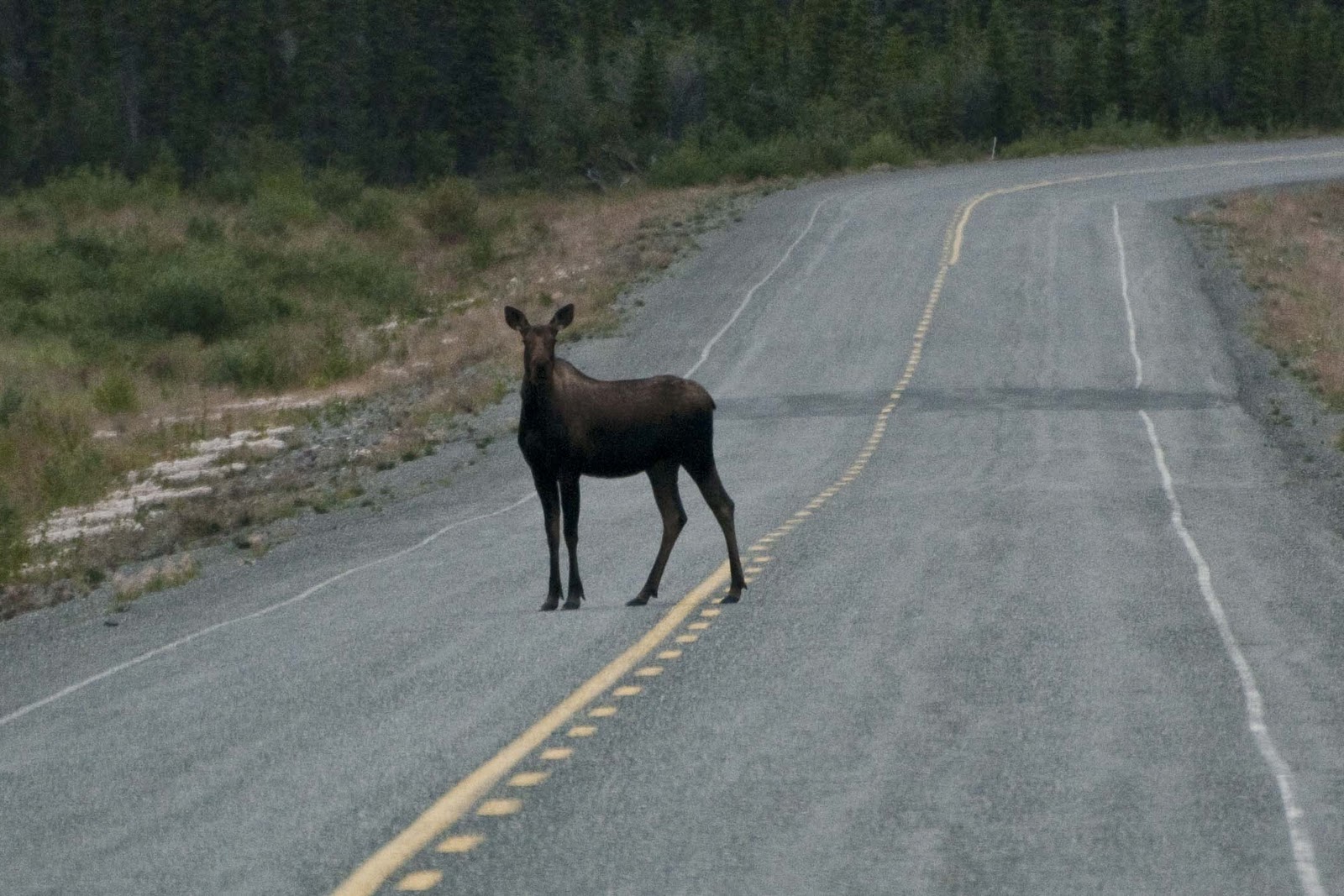
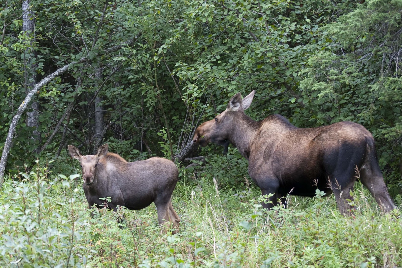
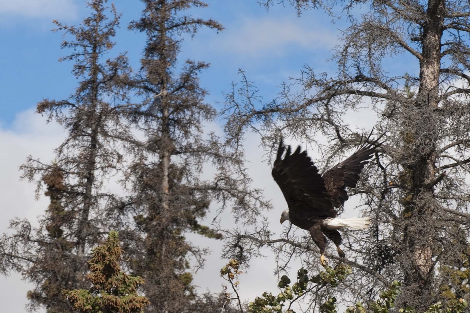
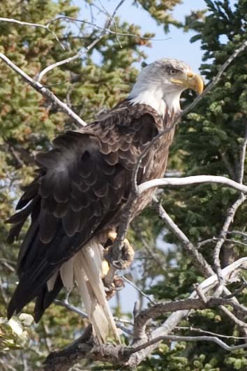
A side note – 33,000 is the human population. The moose population is 50,000 and the caribou population is 160,000! (Not sure how they get these counts – but, it is on the list of Quick Facts from the Yukon Tourism and Culture.) So far – this is the only moose or caribou we have seen –


ANOTHER day where this is the only sighting of a Caribou/Moose/Elk.
We know they outnumber humans by a large multiple, but so far they have laid low.

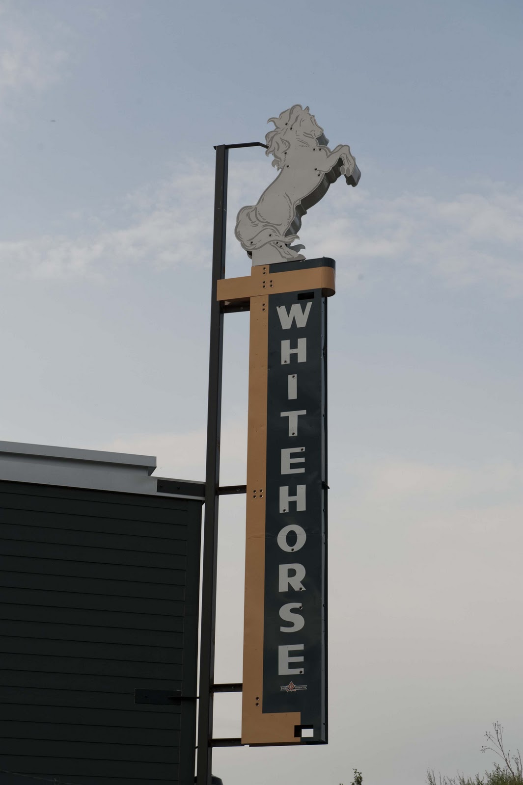
Whitehorse is the Yukon’s capital city and is known as “The Wilderness City” due to the spectacular surroundings.

Welcome to the largest city in the Yukon Territory

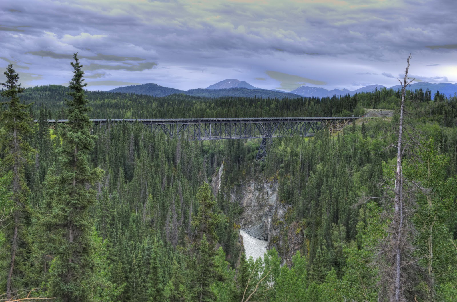
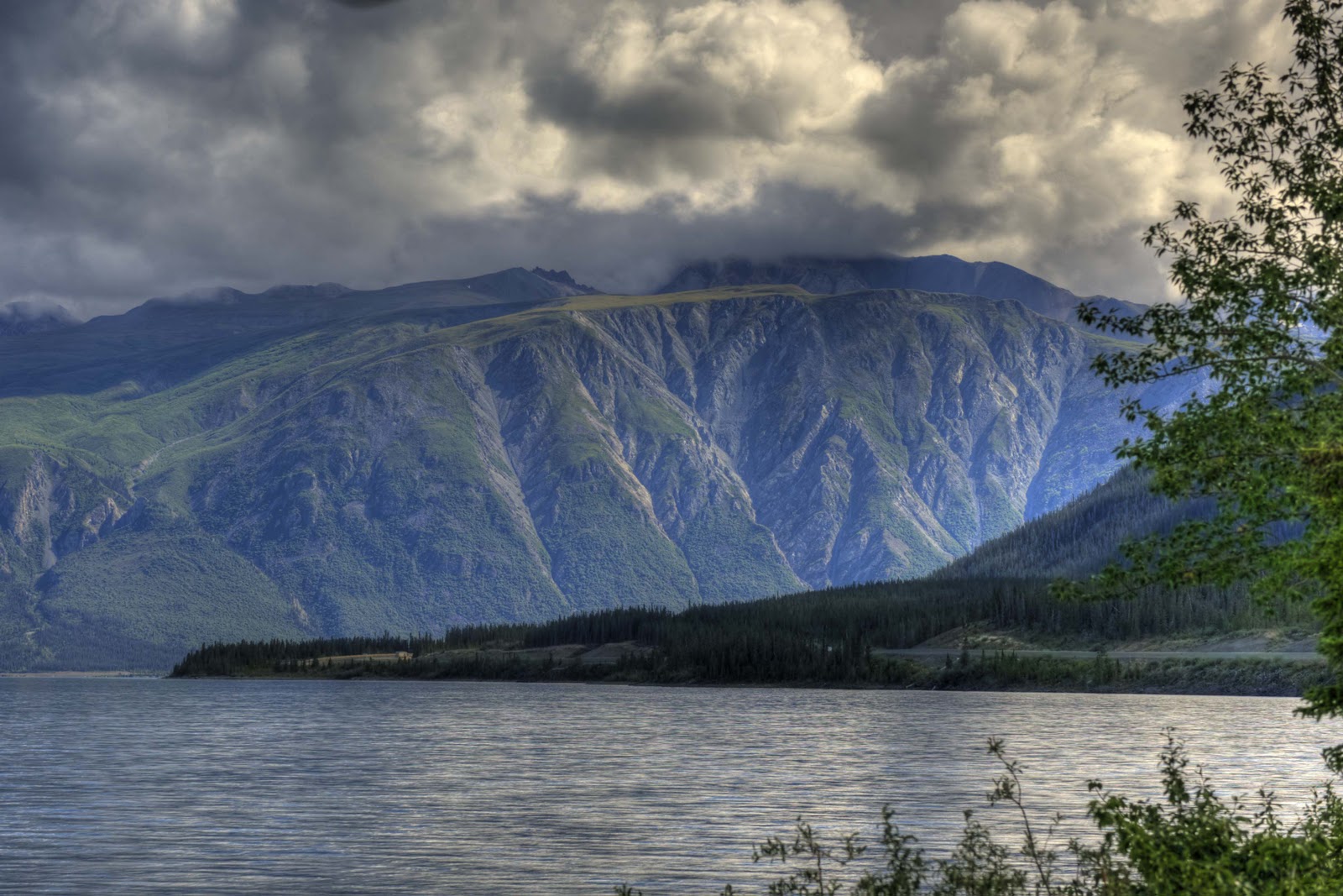
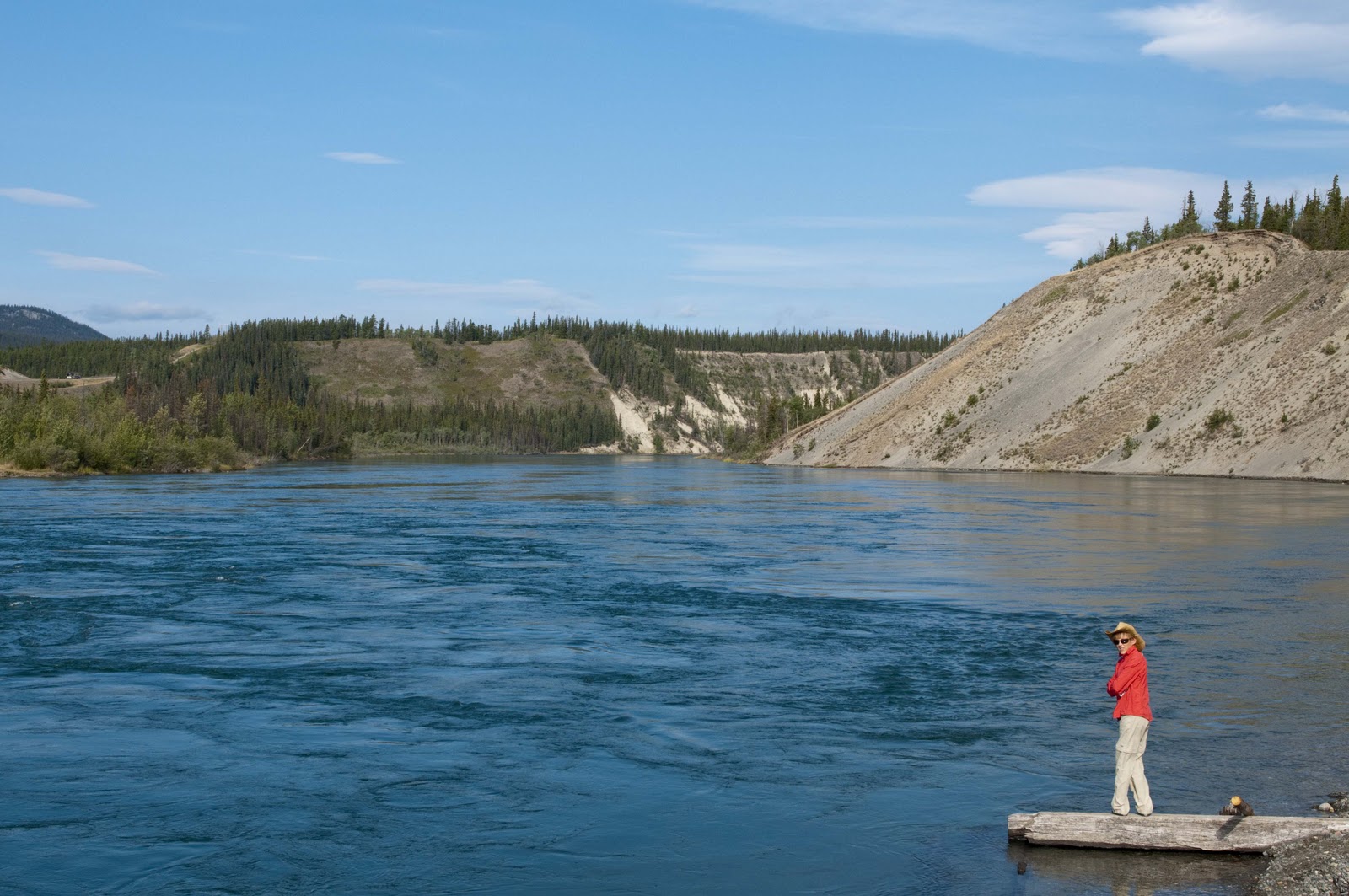
It sits on the Yukon River and is named after the historic rapids which resembled the flowing manes of charging white horses. On the “Trail of 1898”, the stampeders had to bypass the treacherous water of the White Horse Rapids, which became known as the greatest peril on the trail. Unfortunately, construction of the Whitehorse hydro-electric dam in 1958 tamed the rapids – BUT, didn’t diminish the Yukon River’s place in the stat books as the fourth longest river in North America – measuring nearly 2,000 miles.

Headwaters of the Yukon River.

Whitehorse came about because of the Gold Rush and grew because of the railroad. Two entrepreneurs capitalized on the obstacles presented by the rapids in 1897 by building tramways to carry goods and small boats around the rapids. A roadhouse and saloon provided lodging and refreshments (and whatever else) to the tens of thousands of gold seekers on their way to the Klondike. In 1900, construction of the White Pass & Yukon Route railway from Skagway to a point past the rapids was completed and Whitehorse became a railhead. For years, Whitehorse continued its role connecting rail service from Skagway to the south with riverboat traffic to Dawson to the north. Then in 1942, the thousands of American Army personnel arrived to build the Alcan Highway and Whitehorse was the western base. After a bit of a lull for Whitehorse, the Alaska Highway was opened to civilian traffic and people like us began making treks to Alaska;-) This maintained the survival of Whitehorse – as it became a major stop on the journey, since it is the only city of any size on a 750 mile stretch of highway;-)


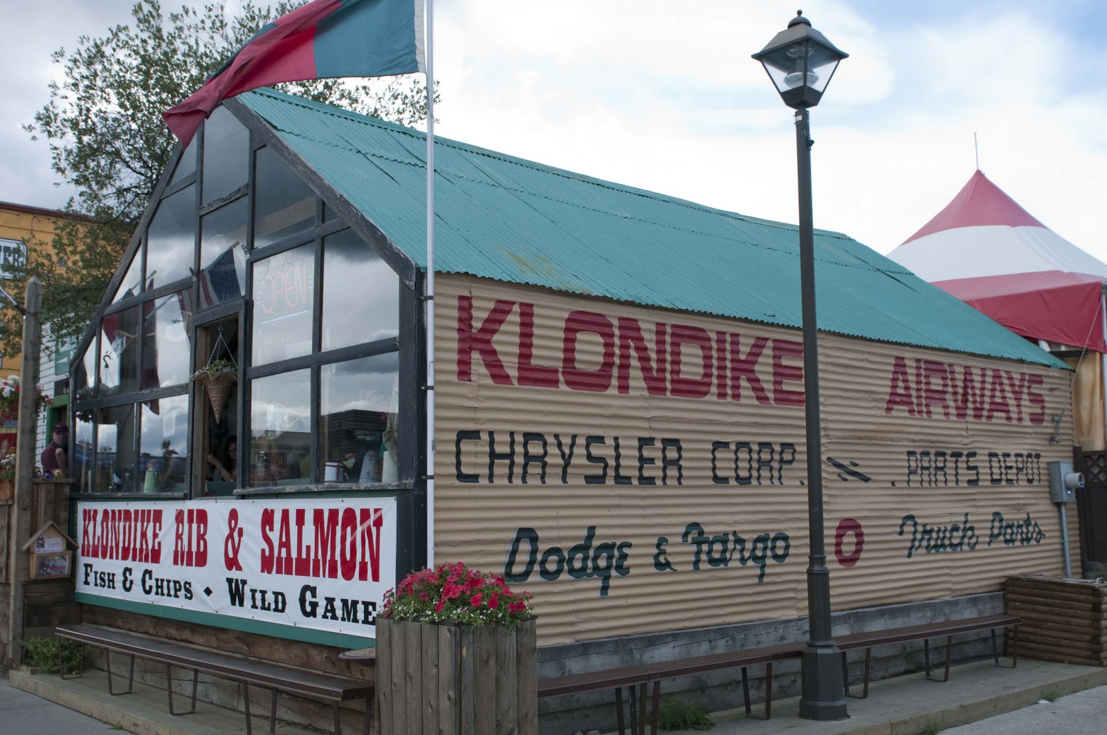
Many of the buildings still in use in Whitehorse emphasize the many lives – from gold rush days to transportation days to the tourism of today. One of the local restaurants (a lunch spot of ours one afternoon) is housed in just such a place. The Klondike Rib & Salmon is housed in the two oldest buildings still in use in the Yukon’s Capital. The dining room was originally opened as a tent frame bakery around 1900 to serve all those miners. In 1929 the building became a mail and freight business – Klondike Airways. Using snowmobiles and caterpillars, the company carried about 110,000 lbs of mail north to Dawson City each year. Before 1921 only first class mail was delivered in the winter. The rest of the mail waited in Whitehorse for the ice to break up and the steamers to sail – this usually happened sometime in May!!!! No FedEx back then!! In the 1930’s the building was used as a carpentry shop making, among other things, coffins. Thankfully for the restaurant – that business ‘died’ to allow the current quaint restaurant – which we thoroughly enjoyed;-)


The halibut fish and chips and caribou burgers were tasty.
The historical photos inside gave a good sense of the city over the last century.

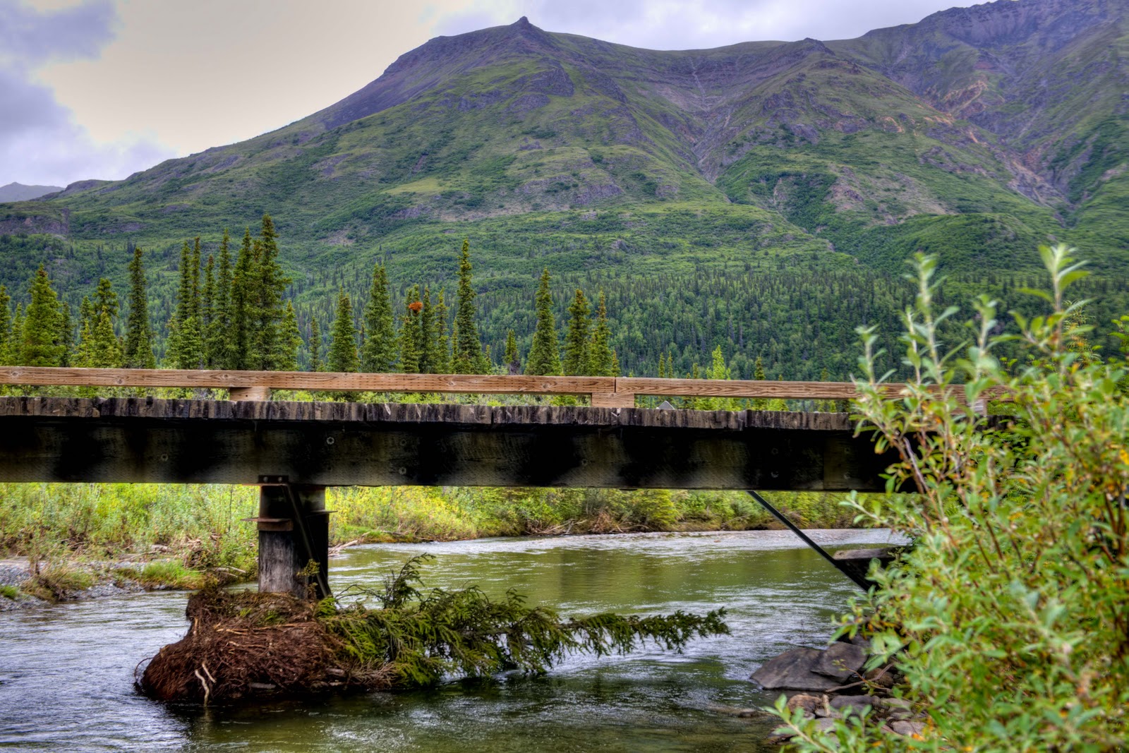
Whitehorse sits at or close to many junctions, which allow for beautiful and interesting side trips.


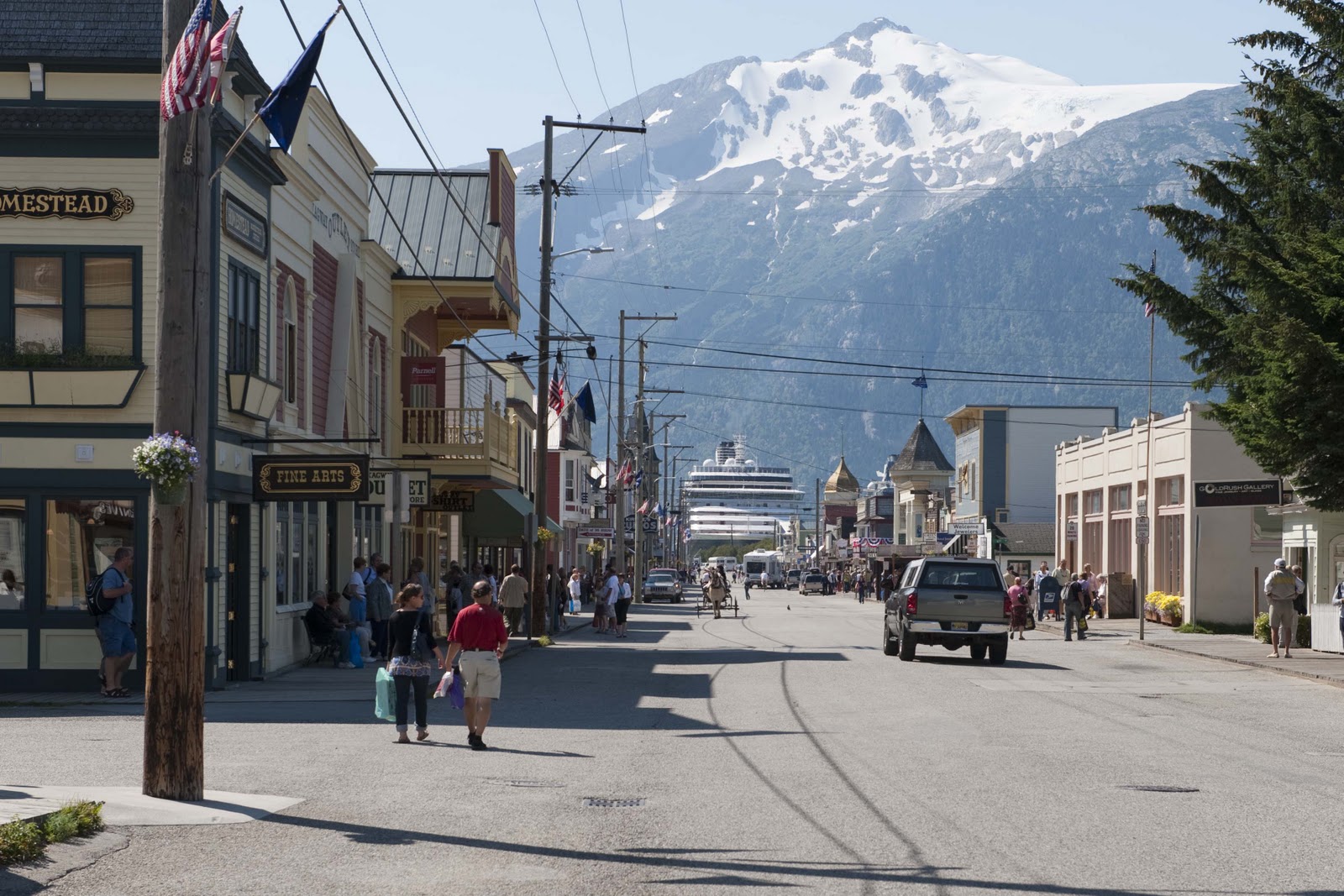
Skagway – The oldest incorporated city in Alaska (1900), owing its birth to the Klondike Gold Rush. Skagway boomed as thousands of gold seekers arrived to follow the White Pass and Chilkoot trails to the Yukon goldfields. In July 1897, the first boatloads of stampeders bound for the Klondike landed at Skagway. By October 1897, according to a North West Mounted Police report,, Skagway had grown “from a concourse of tents to a fair-sized town, with well-laid-out streets and numerous frame buildings, stores, saloons, gambling houses, dance houses and a population of about 20,000.” Customs office records for 1898 show that in the month of February alone 5,000 people landed at Skagway!! By the summer of 1899 the stampede was all but over – and by 1903 the population had dwindled to 500. Fortunes come and fortunes go!! BUT, during the stampede that good old railroad – the White Pass & Yukon Route railway – turned Skagway into a terminus for the connection to Whitehorse. This coupled with its port allowed Skagway to persist. The port is Skagway’s mainstay even today as cruise ships line the docks in the summer making the town look as it might have during those stampede days –


Downtown Skagway, AK with one of the the five cruise ships that were in port while we were there.

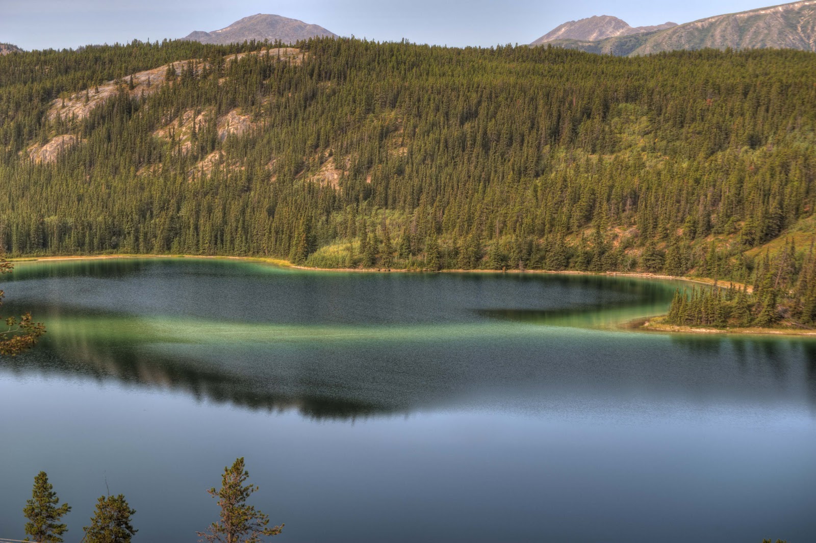
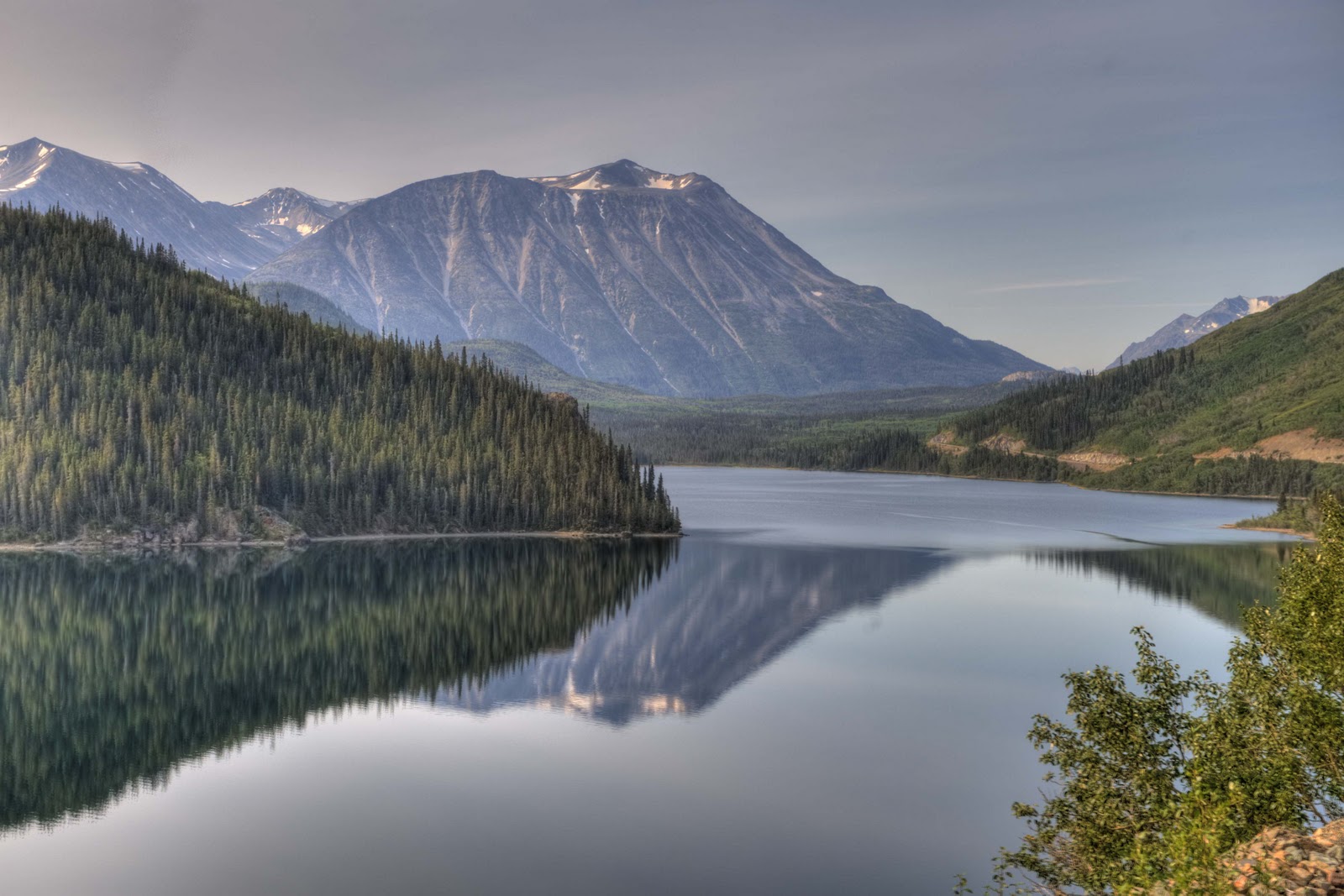
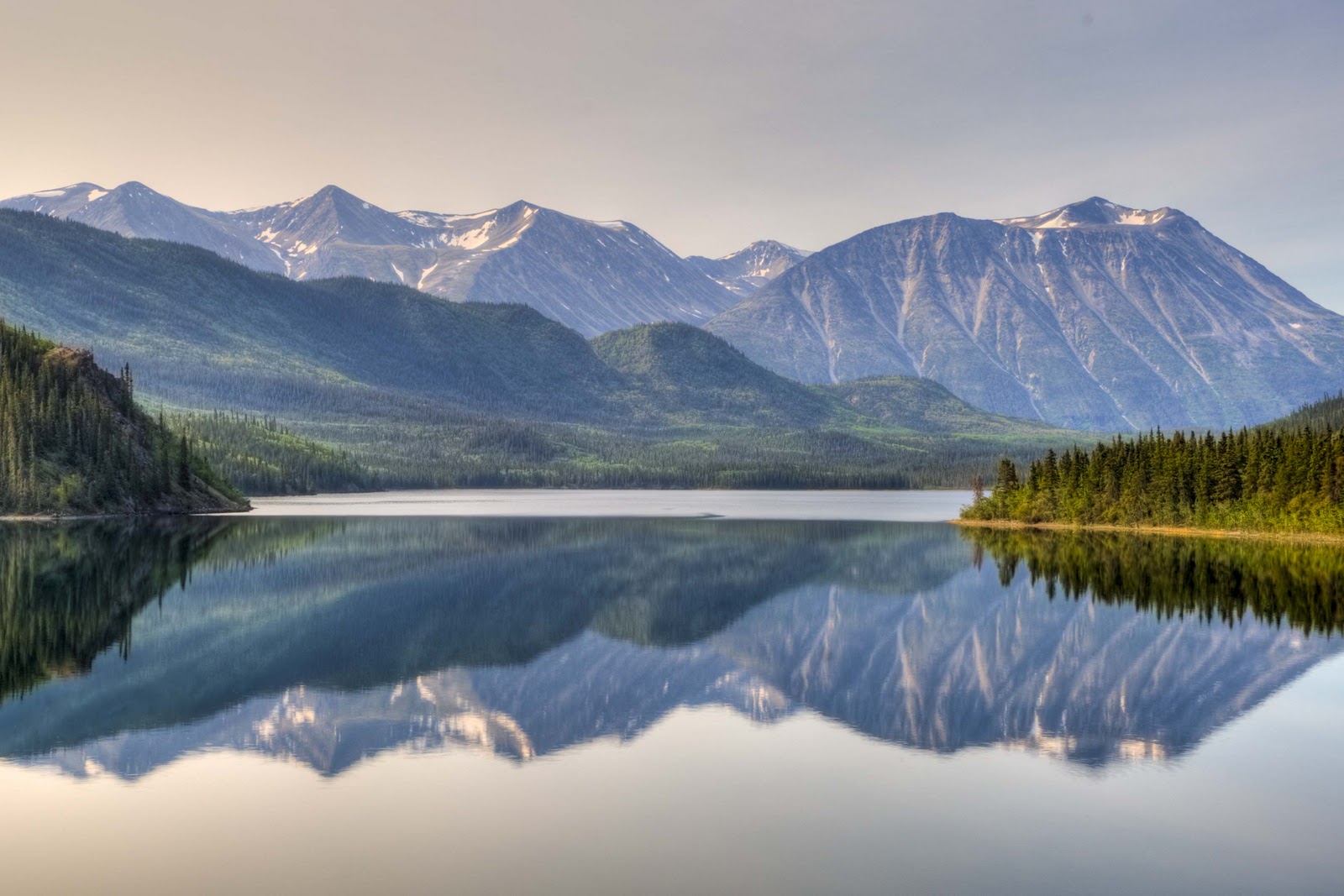
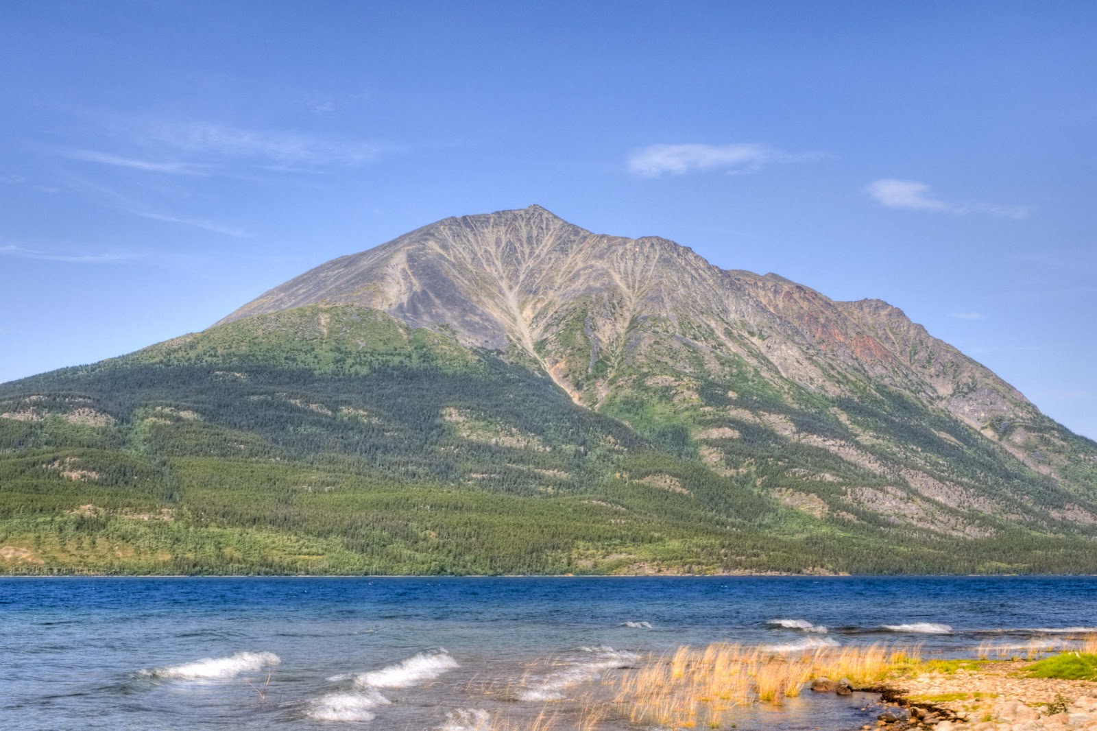
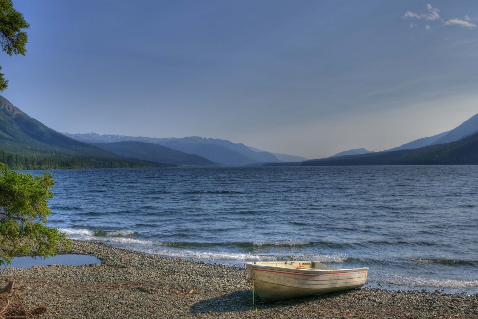
For those of us who arrive by car instead of cruise ship, the drive on the South Klondike Highway from Whitehorse is beautiful and scenic as it crosses the border back into the US. It consists of lake after lake surrounded by the glacier capped mountains. And – if you are lucky as we were – the lakes seem like mirrors doubling the magnificence of the scenery!!!


Rainbow Lake perched alongside the Klondike Highway from Whitehorse, YT to Skagway, AK.

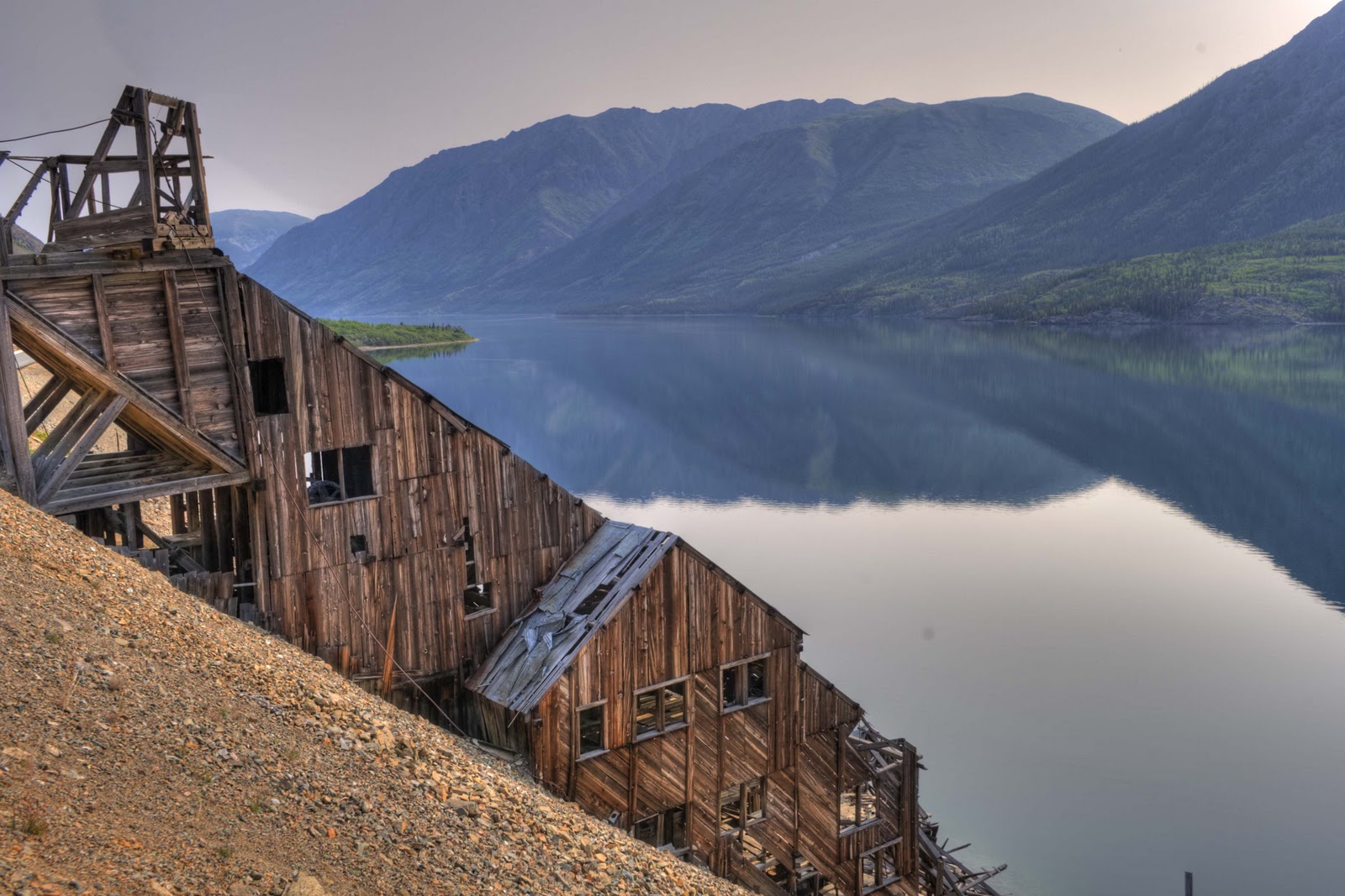
Old mining mill on the banks of Lake Tutshi.

The Windy Arm branch of Tagish Lake .

Windy Arm goes on for awhile.

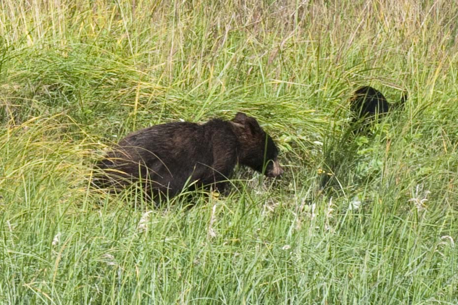
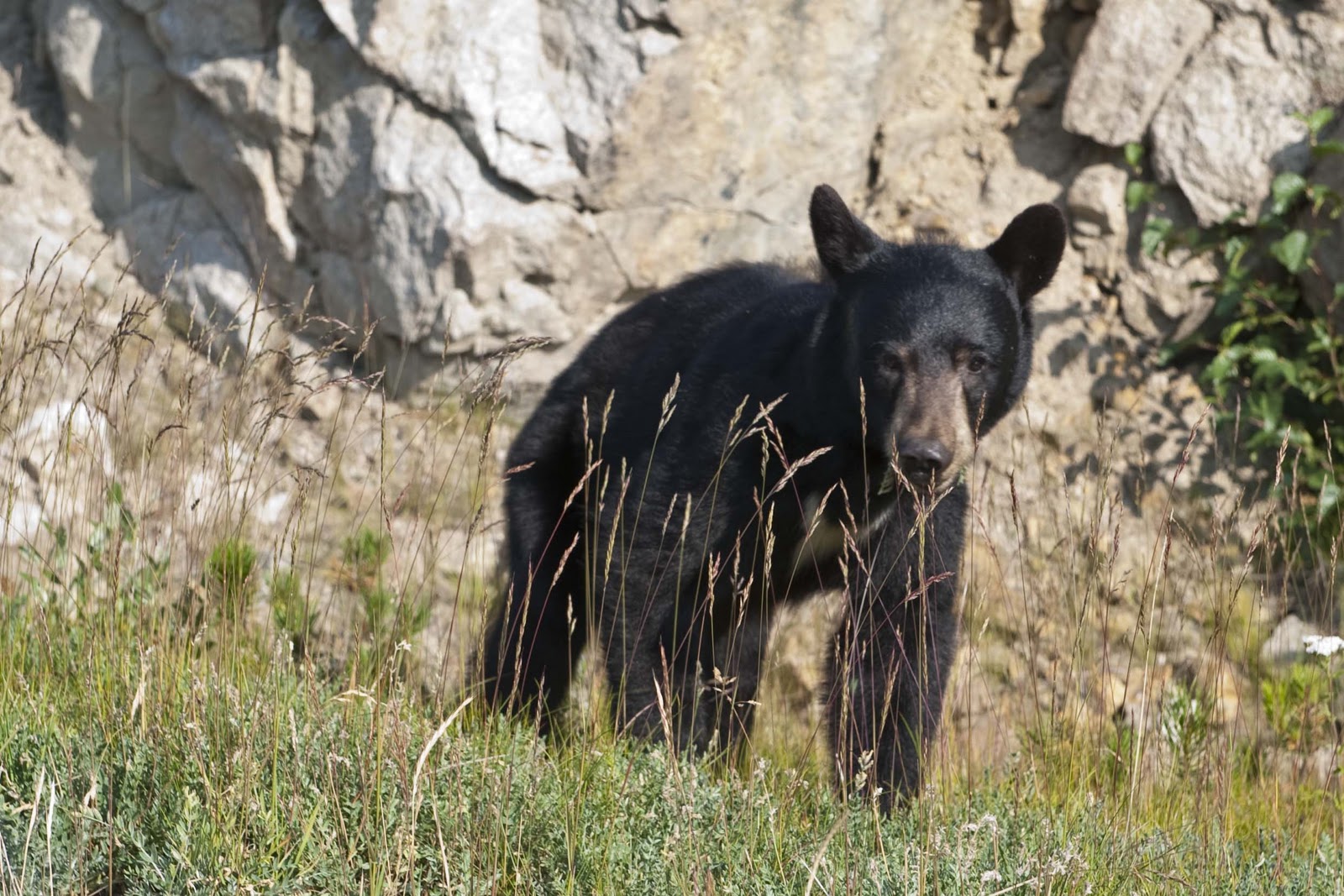
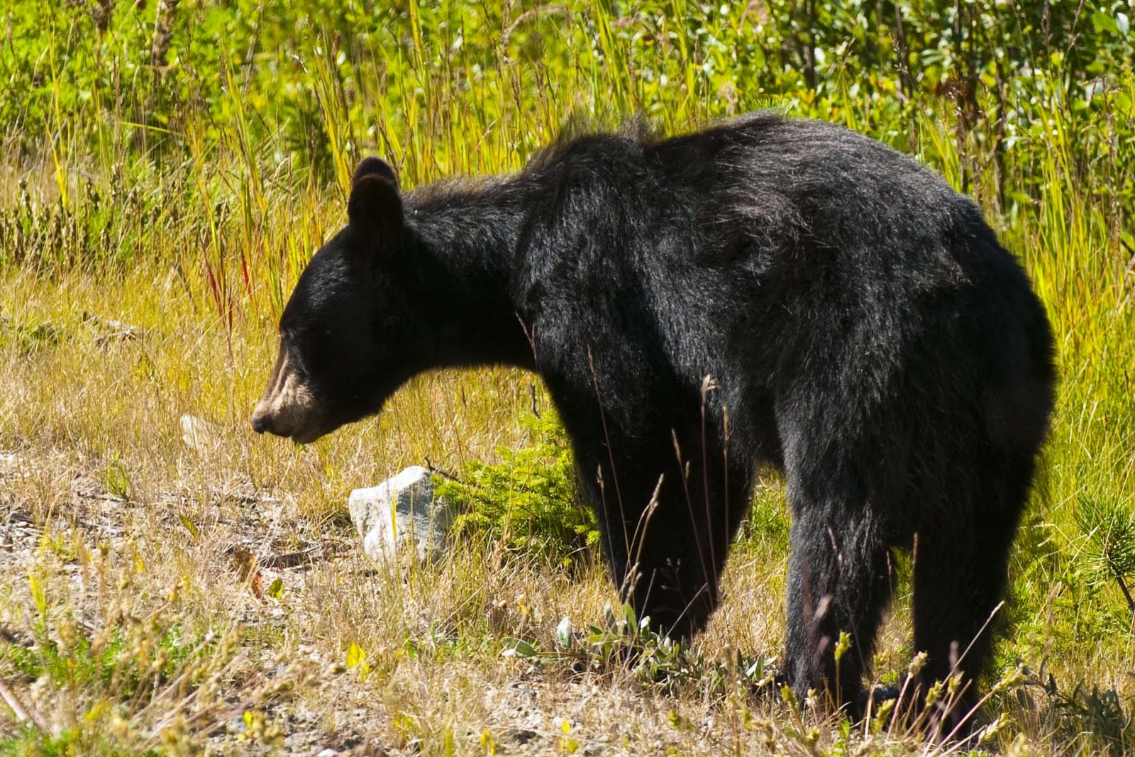
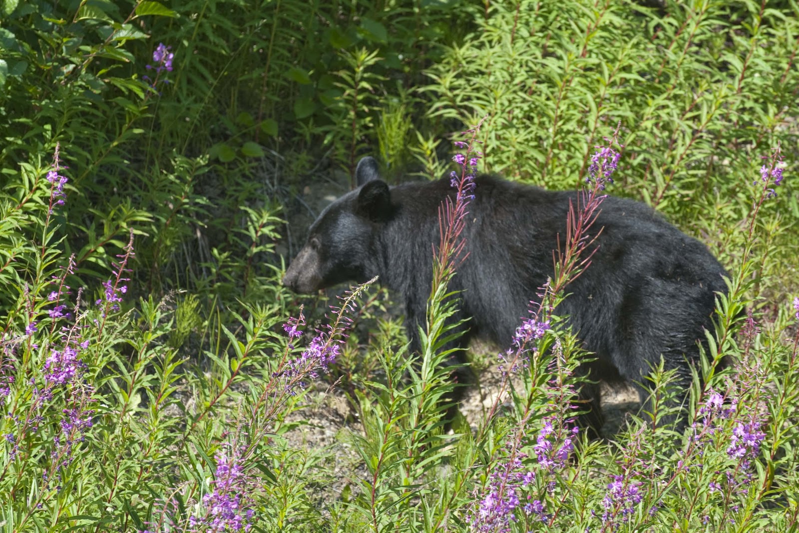
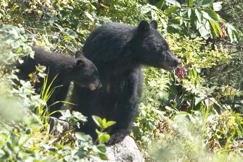
And – maybe – there might also be a bear or two along the way –


We found this black bear grazing along side the road. It didn’t seem too concerned with our presence …
until another car, a truck, and a bus stopped to take a look.

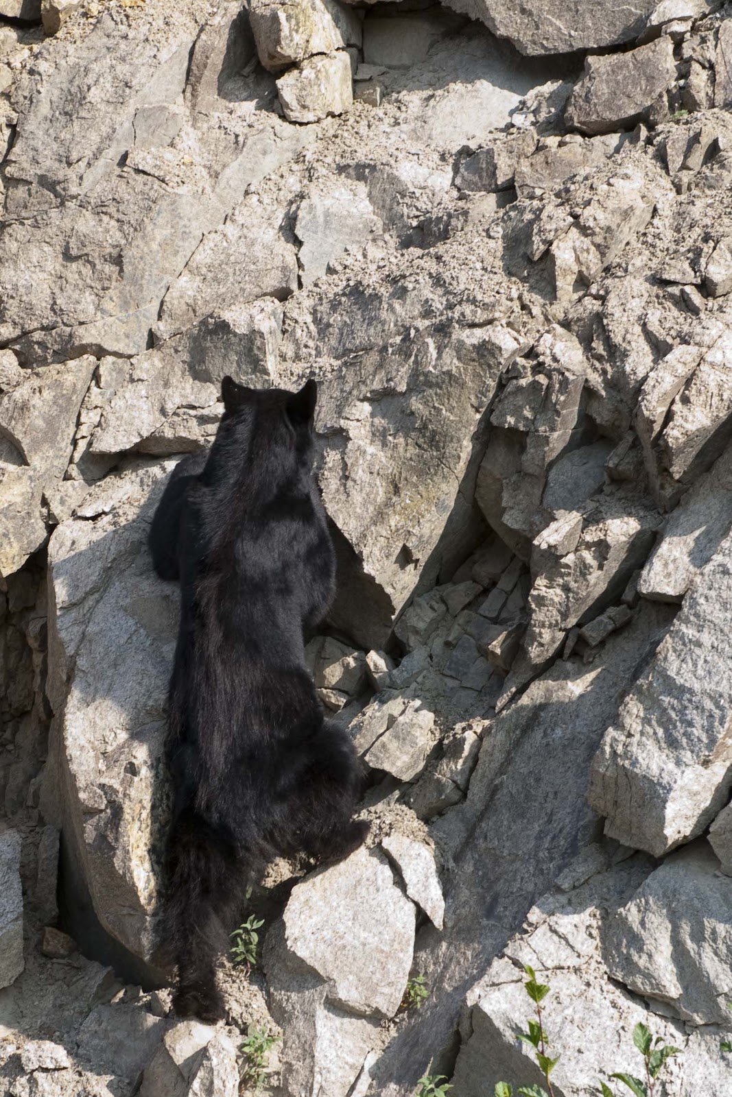
It decided to try and leave by way of the steep rock wall…
After a couple of minutes, changed its mind and came back down to continue eating.

On our return drive to Whitehorse, we ran into this bear.
We are fairly sure it was the same one we saw that morning.

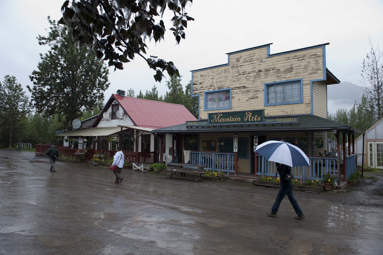
Atlin – A side trip to Atlin, a small community of 500 residents, will take you back into British Columbia (BC) to the northernmost town in the province. Most of these residents, however, consider themselves Yukoners, with the town’s designation as BC as a mere ‘accident of geography’. It is geography, though, that gives Atlin its beauty as it sits on the crystal clear water of the 90-mile Atlin Lake. Surrounded by spectacular mountains, Atlin Lake is the largest natural lake in BC.


A view across Little Atlin Lake.

Atlin was also ‘made’ by the gold rush. The Atlin Gold Rush is considered BC’s last great stampede, occurring after two miners hit pay dirt nearby in 1898. The news of the pair’s discovery brought nearly 5,000 gold-seeking hopefuls to Atlin. By 1899, Atlin was booming with trading posts and services that catered to the influx of residents – whose numbers were pushing 10,000!! Just as with Skagway – the population dwindled as quickly as it rose.


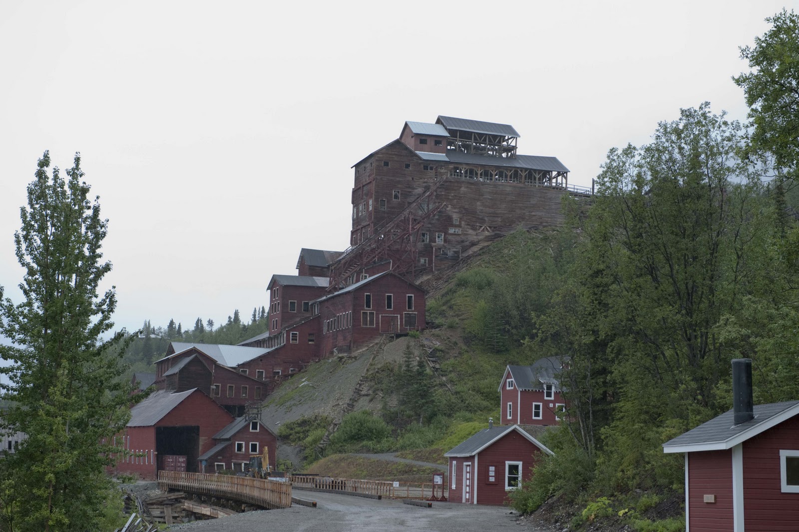
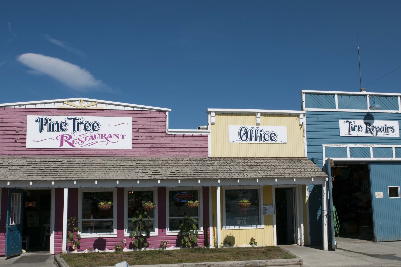
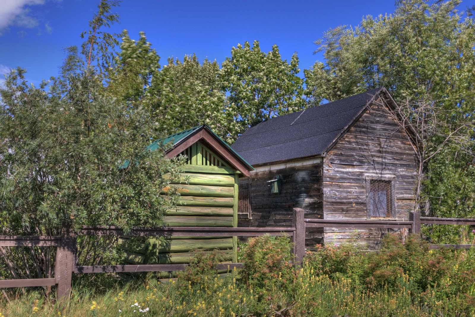
However, in the 1920’s Atlin was a popular vacation destination for the world’s wealthy elite. A local English Inn was particularly popular with the 110-passenger steamer making trips to the remote Inn twice weekly! In the roaring ‘20s the Inn hosted such notables as President Roosevelt and Prince Edward, the Prince of Wales. Many of the old historic buildings were a ‘feast’ for Gary’s trigger finger –

Good lunch at the Pine Tree. The tire repair shop also served the local’s hardware and auto parts needs.
Just liked the looks of these old buildings in Atlin.

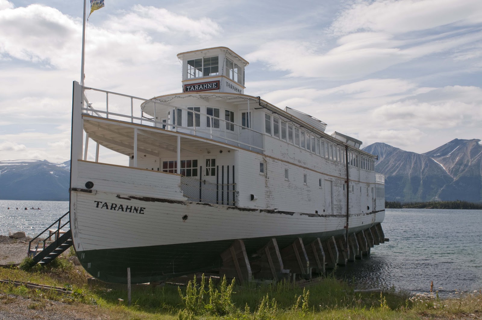
Boats such as this were workhorses on Atlin Lake.

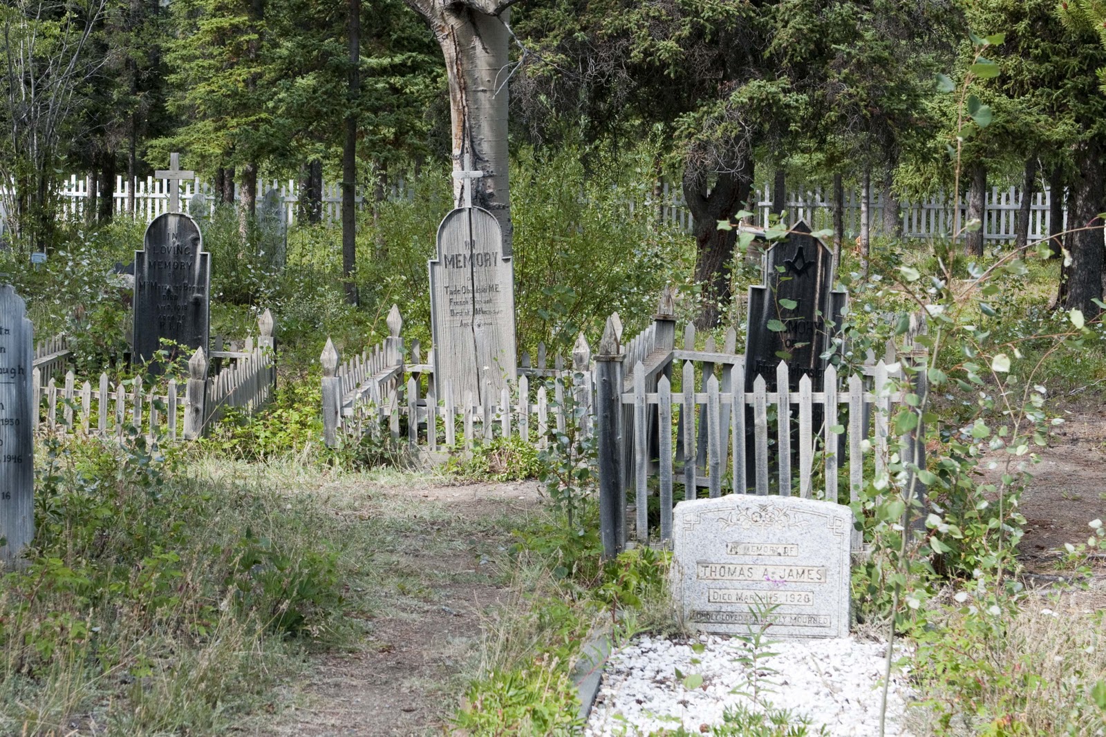
Seemed like most of the miners laid to rest here were in their 20’s and 30’s.

Much of the area around Whitehorse has the fingerprints of the US Army. Since there was little (or no) development in this area until the Army was here creating the Alcan Highway – they took the opportunity to name the various lakes, mountains and streams. For instance – on the way to Atlin we passed over the Snafu and Tarfu Creeks. Many of you will know that these are Army acronyms for “Situation Normal All ‘Fouled’ Up” (or whatever “F” work you think the military might use) and “Things Are Really ‘Fouled’ Up”!!!


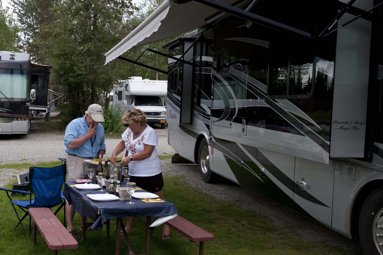
In between these day trips there was plenty to do in Whitehorse – golf a couple of days, local artists galleries, museums – and, of course, the obligatory restocking at WalMart;-)


Today was 4 weeks on the road – and we are still speaking and enjoying each other. Tomorrow we begin traveling again and not sure when we will have another internet connection. So – love to you all – and hope to ‘talk’ to you again in a few days –


XOXOXOXO


Elizabeth & Gary

Smoke Gets in Your Eyes

Sunday did take us north. After a leisurely morning and a fond farewell to Chuck and Grace, we ‘inched’ our way north. Ninety miles – 4 hours!! A combination of ‘not the best’ road and no need to hurry. Most of the roads up here are two lanes – one in each direction. The difference in a ‘major’ highway to a very small side road is the width of the two lanes, a shoulder (or not) and markings. This was our ‘smaller side road’ for today – width about 1 1/2 lanes, no shoulder and you get to drive where you want –

Headed north to check on the fire and road closure – not-so-wide road.

About 4PM the road closure appeared before us.


Road closed for the night. There should be an escorted caravan at 8 am of all goes well.

The closure was actually about 30 miles from the fire zone – but, was at a large rest area (the last one before the fire) where the waiting vehicles could ‘stage’. AND – that is just what happened. We were only the second vehicle when we arrived, but the area filled quickly. The highway maintenance woman told us there would not be any further escorting done on Sunday – but, the fire and weather permitting, they would escort a group through at 8 in the morning. So – we picked a good spot for Magic and set up for the night. This was much like the shuttle launch in Florida this past spring. Everyone was there for “the event” at 8 in the morning – this time it was an escort through a forrest fire!! And, there was nothing to do but have a communal party until then;-))


By morning between 40 and 50 vehicles had accumulated. (The first day they did the ‘escort thing’ they had 141 vehicles!!! No wonder they started to escort through – they had to do something with all those people.) Everyone was up by about 6 and ‘bugging’ those in charge about – how soon we would go?? Would we go?? Elizabeth included –

7 a.m. Elizabeth is checking with the caravan escort to see if we are still a go. Magic is to the right of the blue semi.

At 7:30 the “Start Your Engines” call went out and we were on our way;-) We had ourselves a convoy, good buddy!!

Breaker – Breaker – This is the Magic Bus.

As mentioned above – we had about 30 miles to go before we even got close to the fire. Fortunately, even though the road was narrow it was good. AND, there was only traffic one way so we could drive down the middle. Even though we were in a convoy, we made good time. Then we hit the fire area, which extended for about 10 miles. It was smokey – and there were hot spots fairly close to the road;-(


The fire and smoke along the route was very eerie.

Flare ups were still occurring along the roadside.

Can’t tell you how glad we were to get to the other side!! About ten miles the other side of the fire were the people headed south all lined up – waiting for the escort to turn around and take them through.

This line of vehicles was waiting their turn at the north end.
Gives an idea of the
organized chaos.

Here we hit several mileposts in our journey – 1) we passed from British Columbia into the Yukon Territory, which made Gary feel like Sgt. Preston and made Elizabeth feel like we were finally out in the hinterlands,

Welcome to the Yukon Territory

2) we turned onto the Alaska Highway – FINALLY after more than 3 weeks on the road we made it to the Alaska Highway!!!! and 3) we both felt like a weight had been lifted off our shoulders. Neither of us realized how much the fire and waiting on the fire had stressed us out;-( We were just sooooooo happy to be on the other side and on our way again.


Now good road awaited us and it was only 9AM. Even the moose signs seemed hilarious, as we had seen them continuously since entering Canada – and hadn’t seen a one!!


This was the only animal we saw all day…

Suddenly the 200 miles to Whitehorse seemed like a piece of cake, and the one night stops in between went by the wayside. We had to admit we were both ready for a ‘city’ – so Whitehorse became the destination. That would be our base for the next 4-5 days and we would do side-trips from there. Hi Country RV Park was calling with all the necessities – full hook-ups, cable TV, WiFi (and fast), laundry – and the ever necessary WalMart nearby. Whitehorse here we come –

We arrived at out destination, Whitehorse, Yukon Territory.

Thanks for listening – so glad to be on the other side –


XOXOOXOXO – E & G

The Grand Canyon of the Stikine

While waiting for the fire to settle down and the road to open up – a side day trip was on the agenda for Saturday. So – off to see the Grand Canyon of the Stikine. I must admit, after growing up in Arizona, there was a little bit of smug intrigue on my part;-) “Where is this??” you might ask. In the last posting there was a fairly lengthly discussion on Telegraph Creek – a rose by another name!!


You can get a bit of background on Telegraph Creek (why its name) from the last posting. Here is NEW information for you to digest:


Telegraph Creek Road was built in 1922 and was the first road into this remote area of northern British Columbia, long the domain of the First Nations Tahltan people. The 70 mile forest service road is a narrow gravel road with several sets of steep, sharp switchbacks. The caution is to “drive only in good weather conditions and do NOT take large RV’s”!! This one was for Magic KBUS – leaving Magic at the campground. These pictures will give you an idea – BUT, you really had to be here. They ease you in slowly – the same way we progressed through the adventure. Even my knees were knocking as we started up the really narrow, straight up in the air portion of this road (Elizabeth was driving and a good thing as that put afraid-of-heights Gary further on the inside)!


The long and winding road to Telegraph Creek.

What? Us worry?

Thanks goodness our brakes didn’t go out on that stretch!

Settlement of the region grew with the discovery of gold on the Stikine River in 1861. Efforts to establish a transatlantic telegraph line also brought attention to the area in the 1860’s. The Cassiar (1873-1876) and the Klondike (1897-1898) gold rushes contributed to the growth of Telegraph Creek.


The scenery along this road is remarkable, with views of the Grand Canyon of the Stikine River. At one point on the narrow road you are on a ‘mesa’ that looks down one side to the Stikine River and the other side of the road looks down on the Tuya (which merges with the Stikine just down river). The canyon, and its walls, are exquisite. Interesting, also, that leaves seem to be already changing even though there are still about 18 hours of light.


Can you see the fire from here?

The Stikine River canyon. No pushing, please.

We just can’t get enough of this scenery.

This canyon wall looks like a big monster to me. Can you see the eyes and nose?

As you can see the summer season is short here. The leaves on some of the
ground cover and the aspens are already beginning to turn.

The destination is Telegraph Creek, a mostly-Tahltan (First Nations) community of about 400. THE place to see in Telegraph Creek is the Stikine River Song, housed in the original 1898 Hudson’s Bay outpost (there is Hudson Bay again!). We did get a look at the building from the outside. But, a very unfortunate event had occurred a few days before and the owner of the River Song died as a result. (This area has such a close knit community even though the ‘communities’ are hundreds of miles apart – we actually heard the news of this death in Stewart – 250 miles south of here!) Everything in town was closed for the services (something we knew before venturing in this direction) but, we wanted to see the scenery.


The old crock pot was just finishing our pork and sauerkraut dinner when we arrived back at Magic. After a lovely visit with our ‘landlords’ for the last couple of days, Chuck and Grace, we sat back and enjoyed the lake one more evening. (Chuck and Grace, own this campground and live here in the summer. They spend their winters in Arizona, just as many of the Canadians we have met along our trail. Seems that Yuma??? is a favorite for the RV set!! They go across the border into Mexico for all their prescriptions and dental work!! Thought Canada had the medical plan we wanted?!?!? Why do all the Canadian seniors go to Mexico???)


Sunday may take us a little further north so we can be there on Monday for the 8AM escort through the closed portion of road due to the forrest fire. Or – maybe the rain Saturday night will have allowed the opening of the road. It’s always a mystery;-)


Love to all – E & G

An Interesting Development

Thursday, July 29th, was another travel day. BUT, first Magic had to get another bath. It seems like once a week – like it or not. And, it is ALWAYS needed!! We are getting pretty good at it by now, though, and have it down to about an hour. Of course, that is without Elizabeth getting on the roof to get all the grime from up there;-)

By 9AM we were on our way. First photo stop was a repeat – Bear Glacier. Only this morning the lighting was very different as the clouds/fog shrouded the surrounding mountains and cast different shadows – making the blue ice really blue.

The Bear Glacier not too far outside Stewart, BC.

Before long, the Junction of 37A and 37 North (to Alaska), the Cassiar Highway, was in front of us. The Cassiar Highway was mentioned in the last posting as scenic, good for seeing wildlife and, VERY importantly – the connection from the Yellowhead Highway to the Alaska Highway. More on this just a little later.

The morning was beautiful – no wind, no rain, no traffic, lots of beautiful scenery in the likes of flowers, mountains, more glaciers – AND, a few animals –

Heading north on the Cassiar Highway

No particular destination was sought – just traveled down the road following the Bell Irving River until something looked intriguing. One thing about this area – the thriving metro areas – the BIG dots on the map – consist of one building which serves as the General Store/gas station/post office – AND, if it is a really BIG stop the same building also contains an ‘Inn’ and cafe/restaurant;-) Generally if there is an ‘Inn’ there is also an RV/Campground. (Inn is a little kind – therefore the ‘ ‘ .) The Bell II Lodge looked charming in the pictures, offered four-star accommodations, great food and campsites for RV’s so thought that might be a destination. Not sure where they took the picture for the brochure?? We did top off the tank, though, and thought perhaps their lunch fare would keep us around. Didn’t do it for us – SO, we were movin‘ on down the Cassiar Highway. Lunch was productive, however, as we learned of a forrest fire north on the Cassiar just below where it connects to the Alaska Highway (our ultimate destination on the Cassiar) and the fire had caused the closure of the road. There were still several days before we got this far up the highway, but, decided it was something we needed to keep track of;-(
The role of the RR has shown up on several of our postings – and, around here the telegraph line also played an important role. Born of the Klondke Gold Rush of 1898, the 1,900 mile Dominion Telegraph Line linked Dawson City (way up north in the Yukon Territory) with Vancouver via the CPR wires. Built in 1899-1901, the line blazed a route across the vast northern section of the BC Province but gave way to radio communications in the 1930’s. Today, some of the trail provides road beds (for some of the very roads we are traveling on) and some of the cabins used by the isolated telegraphers still serve wilderness travelers. Parts of the Cassiar Highway are benefactors of this trail.

The Highway also passes through the Iskut burn, where fire destroyed 78,000 acres in 1958. More than 50 years later the trunks of some of the burned trees are still standing!! So – how long DOES it take for the forrest to regenerate after a fire????? This area is also British Columbia’s largest huckleberry patch;-) Which may account for our bear sightings –

We spotted this bear along the roadside. It didn’t waste any time heading for the bushes.


The next BIG dot on the highway was Tatogga Lake, which boasts the Historic Tatogga Lake Resort. Despite ALL the amenities (restaurant, souvenirs, gas, diesel, RV sites with hookups and wifi), they didn’t have a laundry, which was an essential at this stop. SO – on up the Cassiar Highway to Iskut with a population of 283. Here the Red Goat Lodge on the Eddontenajon Lake was calling – it had wifi AND a laundry!! It also had a fabulous view, which is a good thing and that’s all there is to say here –

We had this awesome view from our campsite at the Red Goat in Iskut.
The forest fire smoke created some interesting colors that evening.
Our intrepid photographer hard at work. Work, you say? Bulls**t!

Gary decided he could only take ONE day of the Red Goat – so we packed up and progressed another 50 miles, which took us about 2.5 hours, on Friday. “Why 2.5 hours??” you might ask. It seems that perhaps we hit some of that road we were warned about –

The Iskut views be damned.  I couldn’t wait to leave the campground so we continued north
on the Cassiar Hwy and ran into some of the rougher roads we were warned to expect.

Not sure we have ever seen a bridge this square before.
Good thing we didn’t meet someone coming the other way.

A little mud…a little smoke.

Dease Lake was the target today – the end of three weeks on the road!!

On the southern end of town one can see the Arctic/Pacific Divide. Here the Tanzilla River, to the south of Dease Lake, is a main tributary of the Stikine river, which runs into the Pacific Ocean. Dease Lake, north of town, empties into the Dease and Liard Rivers, and ultimately spills into the Arctic Ocean. This unique point, where water flows in different directions, is called the Arctic/Pacific Divide. Much like the area encountered on the Icefields Highway where the watershed was in three directions – to the Pacific, Atlantic and Arctic!!

Dease Lake became yet another Hudson’s Bay Co. post in 1837, and the town was named after the company’s chief factor – Peter Warren Dease. The Dease Lake region was the site of two major gold rushes – one in 1864 and one in 1873. Laketon, on the west side of the lake, was a center for boat building during the Cassiar gold rush of 1872-80. In 1874, William Moore, following an old Indian trail, cut a trail from Telegraph Creek (a Tahltan/First Nations commuity) on the Stikine River to the gold rush settlement on Dease Lake – this was the beginning of a failed attempt to build a telegraph line linking North America to Europe!! The trail became Telegraph Creek Road, which was used in 1941 to haul supplies for Alaska Highway construction. Today, Dease Lake (population 450) is a government center and supply point for the district. We wandered just north of town and found the Water’s Edge Campground on the shores of Dease Lake. Don’t know why, but for some reason it just reminds me of the “Song of Hiawatha” by Henry Wadsworth Longfellow –
“By the shore of Gitchie Gumee,
By the shining Big-Sea-Water,
At the doorway of his wigwam,
In the pleasant Summer morning,
Hiawatha stood and waited.”

Either that – or “On Golden Pond” (or both). It is a beautiful setting to just sit – read – and enjoy the view –

Our reading room on Dease Lake for the next couple of days.
The Waters Edge campground is very nicely maintained and we even have an internet
connection until they turn their generator off at night.
The view of the sun setting from Magic’s picture window.
AND – we could be here a while. As mentioned in the discussion of our lunch at Bell II, we learned of a forrest fire to the north which had caused a road closure. Actually, not just a road closure – the closure of the Cassiar Highway just below its junction with the Alaska Highway – our destination!! Reports are put out daily at 8AM, 11AM and 4PM about the road closure – ie, still closed or not. There is no discussion of possible opening. Yesterday at lunch this was a new event – BUT, word was spreading quickly. By today – this is all everyone was talking about at every stop!!! Apparently there is quite a line-up of cars/trucks/RV’s where the road is closed. Which is not helping the fire fighting effort there. The closure is actually about 100 miles north of our current campground – but, there is a blockade here at Dease Lake warning of the closure. To understand how big a deal this is here – a description/picture of the roads is in order. During the past week, we have traveled from Prince George – 300 miles west on the Yellowhead Highway to the Cassiar Highway where we turned north and have traveled about 300 miles. So – we are now about 150 miles from the Junction with the Alaska Highway via the Cassiar Highway (the left vertical line).
Junction w/Alaska Hwy
X – – — – – – – – 540 miles
I I– – — – – – – – – – -I
😉 We are here I- – – – — – – – –
450 miles ^ Cassiar Hwy Fort St. John
I X
^ I
I I
X – – – – – – – – I 250 miles
Kitwanga Jct l – – – -< – — – < —–< ——–I   I
300 miles                        I I
Yellowhead Hwy I – – –<- — X
Prince George
If the road to our north does not open, the only way to the Alaska Highway at the same point is to go back from whence we came;-(.  Back down the Cassiar Hwy, across the Yellowhead Highway to Prince George, north to Fort St. John, which will take us north to the Alaska Highway!! BUT, that is 1390 miles instead of 150;-(((!!! *$****##***!!!! We have a few days and have every intention of waiting out the fire. Hope it cooperates!! Unfortunately, we are now meeting up in the campgrounds with those who do not have the luxury of time – and they are having a difficult time trying to figure out what to do. It will take at least 2-3 days (in a car – not an RV! Would take us a good week.) to drive all the way around – and the Cassiar could be open by then. But, sitting and waiting is difficult. We are happy to have such a beautiful setting to wait in – and all at $20 a day, with WiFi!! Of course, the WiFi means we get to post all this wonderful information for you before we take off for Saturday’s activity – which is investigating that gnarly Telegraph Creek Road mentioned above;-).

Hope the weather and the fire cooperate over the next day or two or you will get a LOT of pictures of our lake view here at Dease Lake!! Hope all is well back in the lower 48 –

Our Love to All – E & G

North to Alaska


North to Alaska – at least that is what the sign told us – and our destination was the combined community of Stewart and Hyder at the end of the 37A highway, which is literally “the end of the road”.

Going North the Rush is On (compliments to Johnny Horton).

This is the point where one makes a decision – west to the Pacific or north to Alaska – and we are NORTH on the Cassiar Highway. All the literature talks about the outstanding scenery and good wildlife viewing on the highway. The scenery was fantastic – even the one lane wood bridges –

On the Cassier Hwy. We got our share of mosquitos on the windshield, but there are plenty more waiting for us.

The wildlife was non-existent, except the first sighting of the salmon swimming upstream to spawn.

Salmon working their way upstream.

There was also the first really up close and personal view of a glacier – Bear Glacier – on this leg of the journey. Imagine that not all that many years ago this glacier came clear across the lake to the road where we are standing and only two years ago it came all the way down to the lake!!


A quick stop to check out the Bear Glacier.

Finally – Stewart and Hyder –

Stewart BC continues the elaborate welcome sign trend.
No big sign for Hyder. Oh yeah, were back in the US for a bit.

Believe me – these pictures do them justice!!


This is how the area sets up – you drive into (and through) Stewart, BC, around the port to Hyder, which is just across the ‘border’ in Alaska, USA. As you can see from the picture above, the street turns to dirt as you cross the border – and Hyder is truly ‘the end of the road’!


Stewart sits at the head of the Portland Canal making it Canada’s most northerly ice-free port. Hyder bills itself as the friendliest little ghost town in Alaska. One passes fairly freely back and forth across the border, which you do several times a day if you are staying in Stewart. This is because just beyond Hyder is Fish Creek – known for watching grizzly and black bears feed on salmon during the season and just beyond Fish Creek is Salmon Glacier (but you pass back into Canada to get there) and is Canada’s largest glacier accessible by road.


So – on our day in Stewart – Hyder we were off to Salmon Glacier and Fish Creek. We took the road from Hyder, which begins at sea level in the US and follows the Salmon River to its birthplace – the Salmon Glacier – 4,300 ft. up in the alpine across the border in Canada. Of course, we pass that marker at the 49th parallel that marks the boundary between the US and Canada. (You might remember the very long explanation about this when we visited Waterton last fall.)


Canada/US border marker.

The Salmon Glacier is huge – the fifth largest glacier in North America. The blue color (due to the lack of oxygen in the ice) is so vibrant and the fissures are many and huge.

Salmon Glacier. Amazing.
A little closer look at the Salmon Glacier.


Next stop – Fish Creek to view bears;-)

The bear observation platform. The bears were real scarce.
This eagle took a brief break from lunch for this shot.

Mom and cub from about 100 yards.

Tomorrow is another travel day – and we don’t know where we will end the day????


Keep you posted when we have an internet connection again –


Love to All – E & G


NOT Much Motivation

OK – so here is another day.


Not sure we showed you our new campsite at Telkwa – but, here it is –

A view from our campsite in Telkwa, BC

Again, we had BIG plans for this Monday – a bike ride, a walk down Main Street in Smithers, maybe a hike in the afternoon, check out the golf course, etc, etc, etc. Know how much we got to???? Let’s just say it was a VERY lazy day. We both so enjoy the view out our ‘living room picture window’ that we spent most of the morning mesmerized by the flowing river (which is about like watching a fire). Not sure what reduces us to ‘couch potatoes’ the most – the sight or the sound of the rushing water.


A room with a view. (If you can see past G’s BIG feet)

Around 11 we finally drug ourselves to Smithers – Telkwa’s ‘sister’ town. Smithers is another RR town which came into being in 1913 – as a construction crew site for the Grand Trunk Pacific Railway – and is named for one-time chairman of the railway, A.W. Smithers. Smithers is like a smaller version of Park City. It has a population of about 5,000 and sits amidst rugged mountains crowned by the monumental presence of Hudson Bay Mountain and its popular ski area. Its red-bricked Main Street is graced by alpine-flavored architecture and murals celebrating the Bulkley Valley landscapes and alpine themes. There’s even an alpenhorn player statue welcoming all to Main St.


Main Street, Smithers, BC, with the conductor sticking out of the KBUS on the left.

We shopped up and down Main St., visited with all the locals in the shops, contributed to the local economy and finally enjoyed a bite at the recommended lunch spot – where it just happened to be ‘martini day’. It was such a beautiful day – we couldn’t have asked for anything more –

Another rough day doin’ lunch.

This was all more than we could handle for one day – so we headed back to Magic to put our feet up and enjoy that river view out our ‘living room picture window’;-))


OK – OK – so a little exercise on this lazy day would be a good thing. Perhaps a ‘short’ hike to Twin Falls would be in order. After our lovely dinner looking at the fabulous river view, a drive to the other end of Smithers, through a very narrow, heavy forested canyon took us to the trailhead. After about a mile straight uphill through a ‘fog’ of mosquitos – here are the pictures for you –

Twin Falls, no not Montana this time, British Columbia.

Enough light left to capture this shot at 9:30 pm.

A point of interest – these pictures of the falls were taken at about 9:30PM – without any flash!! Not much darkness up in this neck of the woods.


Well – that finished another wonderful day in our adventure. Tomorrow is another travel day AND we are SOOOOO EXCITED!!!!!!! We begin the trek ‘North to Alaska’ on the Cassiar Highway. We have heard exciting news about our stop for the next couple of nights, which we will check out and report about to you in the next posting;-))


Much Love to All – XOXOXOXO – E & G

Out of the mountains onto the plains

Friday, July 23, and we have now been on the road for two weeks. In some respects it seems like an eternity since we were in Park City, as we have seen and done so much. Just like two weeks ago today – it was a travel day. We were off to Vanderhoof, BC – via Hwy 16, the Yellowhead Hwy. The highway is named for the Yellowhead Pass, the route chosen to cross the Canadian Rockies, which in turn is named after a fur trader and explorer named Pierre Bostonais, who had yellow streaks in his hair and was nicknamed Yellowhead!! Sometimes the craziest names stick forever.

Following the Yellowhead Hwy.

We were so very sad to be leaving Jasper – but there are more experiences to be had and scenery to be seen. We did try to stay in Jasper another couple of nights beyond our reservation – but, out of almost 800 camping spots, they couldn’t find an extra one for us for a couple of extra days. So – we reluctantly went on our way –


Jasper BC is a beautiful area-sad to leave;-(

Three things about the Yellowhead Hwy on the segment we drove this Friday – Moose Lake, animals and Mount Robson. Unfortunately, the photographer was not quite awake as we passed by Moose Lake and not quick enough on the trigger for the animals! So – you have to trust me on these. Moose Lake was simply beautiful at the hour we passed it in the morning! Quite large, right up against the highway – but, not a moose in sight;-( Three bears were sighted, though – one running across the road right in front of us! But, they were clearly not as used to cars (or people) as those in Jasper. They disappeared into the trees along the road as fast as we spotted them. So – no pictures of them either. Mount Robson, the highest peak in the Canadian Rockies, on the other hand – posed! However, the top of this mountain – similar to Denali – is not seen very often. It creates its own weather and is almost always shrouded in clouds. Gary spent about 30 minutes waiting – and waiting – and waiting – as the clouds teased him. Every minute looking like there would be a break and he would get that elusive photo of the top. Never happened – but, what he did get is still awesome –


After a long wait, this was all I could capture of the upper section of Mt. Robson.

The NP’s, mountains and forests were left behind (for the time being) and we entered the Nechako Valley on the banks of the Nechako River. The stop was Vanderhoof, British Columbia (BC) – the geographical Center of BC. This valley is an agricultural, farming valley – and very different from the Jasper area.


(Note – We have been happy to learn that after our posting about the Icefields Highway and Jasper, it appears that we have some Canadian writers (??) following our blog. But, that also means that perhaps our comments should be tempered??)


SO – Vanderhoof was not what we were expecting – but, the welcome sign was quite lovely –


The prettiest part of Vanderhoof 😉

A side trip to Fort St. James National Historic Site of Canada proved to be quite interesting and informative. Simon Fraser and John Stuart established a trading post here, Stuart Lake Outpost, in 1806 for the North West Company’s expansion west of the Rocky Mountains – as they found the area rich in all kinds of fur-bearing animals. The Outpost was renamed Fort St. James in 1821 with the ‘merger’ of the North West Company and the Hudson’s Bay Company. It was hard for us to imagine that the hunting of animals for their furs was so lucrative that it made sense to establish this trading post in this ‘remote’ location and ship these furs around the Cape of South America to Europe. But, that is just what they did!! And, they did this in conjunction with the Carrier people of the Nak’azdli nation, who were the natives of the area. The fully restored Hudson’s Bay Company post commemorates this partnership between the fur traders and First Nations from 1806 – 1952. Here is just a glimpse –


Historic Fort. St. James. A Hudson Bay Co. fur trading outpost.

After Fort St. James – we just couldn’t handle our scheduled tee time at the course ‘in the pastures’ – so we called and cancelled;-(


A slight variation in the schedule occurred here – one less day in Vanderhoof – as we continued on the Yellowhead Highway to the next stop – Telkwa. Burns Lake was on the way – and made us think that perhaps the ‘Welcome’ signs were much more important here than in the US. It made us stop, look and take a picture –

Welcome signs are BIG in BC!! REALLY FUN – don’t you think??

Then there was Houston (BC – that is), with the world’s larges flyrod!! A tribute to the fact that Houston is the Steelhead fishing capital of the world – this impressive structure measures 60 feet long and weighs in at 800 pounds!! Elizabeth was just a fleck in the reel –

You can almost see Elizabeth below the reel. The T-shirt in town says “the best head is steelhead”.

Finally we reached our current destination of Telkwa – meaning “where the rivers meet”, as this is where the Bulkley and Telkwa Rivers come together. In 1906 the valley’s first European settlers put down stakes here on the bluff above the Bulkley River and established a restocking spot for prospectors following the call of the Gold rush. As the Grand Trunk Pacific Railway (now the Canadian National Railway) began constructing the western section of their railway in 1907, many businesses and settlers began to move down the hill to the present site of Telkwa to be closer to the anticipated railway and an easier water supply. Many of the historic buildings still exist – as this restored 1910 St. Stephen’s Anglican Church –

The old church.

Just a side thought from our travels – As we listen to the trains go by, and given the history of Telkwa, we are reminded, again, of the role that the railroads played in the development of North America! All of the Lodges in the NP areas that we have visited, of both the US and Canada, were built by the RR’s. Much of the exploration of the west in the 1800‘s was done in order to bring the RR west – which resulted in a good portion of the development. So many of the towns we have passed through in our travels – all across the US and Canada – came into existence/grew because of the RR’s. Seems as though we do owe them a debt of gratitude.


Well – enough of our thoughts. We shall see what another day brings. Until then –


Our Love to All – E & G