Fifty-four miles stretch from Sword Beach in the east to Utah Beach in the west. It was on these serene beaches, at the crack of dawn on June 6, 1944, that the Allies finally gained a foothold in France. Once on land, these forces had to close the 54 mile gap and meet up to March inland. They also built a floating port in the water to be able to bring in ships with supplies and more troops. Amazing feats in a different time. The following map at the theater in the round at Gold Beach was most helpful to understand the area and what allied troops landed where.

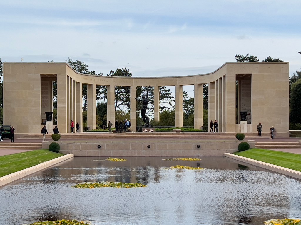
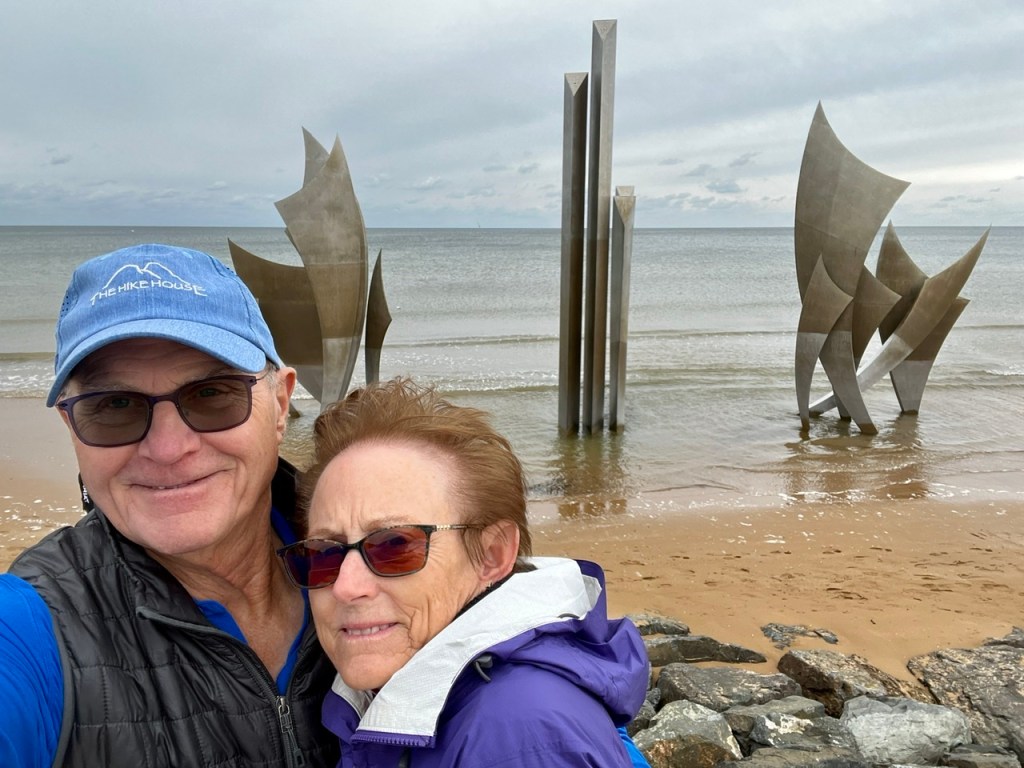
A memorial sculpture was built for one of the anniversaries of the landing and was so well received that it was requested to remain as permanent instead of a temporary honor. Here a returning veteran looks out over the landing beach and in his memory sees himself and his Allies coming ashore.


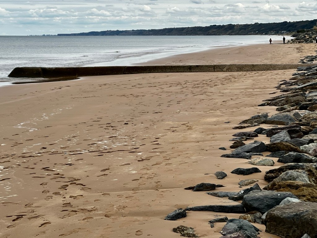
Here, one is able to see remnants of the ‘piers’ that were built in the water to attach ‘roads’ to bring supplies ashore from supply ships!

If you journey to this area, be sure to employ a GOOD guide from the area. Our excursion had a phenomenal guide that provided incredible detail of operations and individuals involved in the various battles and preparations. Our brains were on overload by lunch – so a stop in a quaint little fishing village for a bite was a welcome respite.

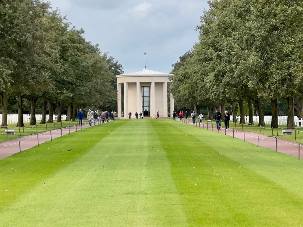
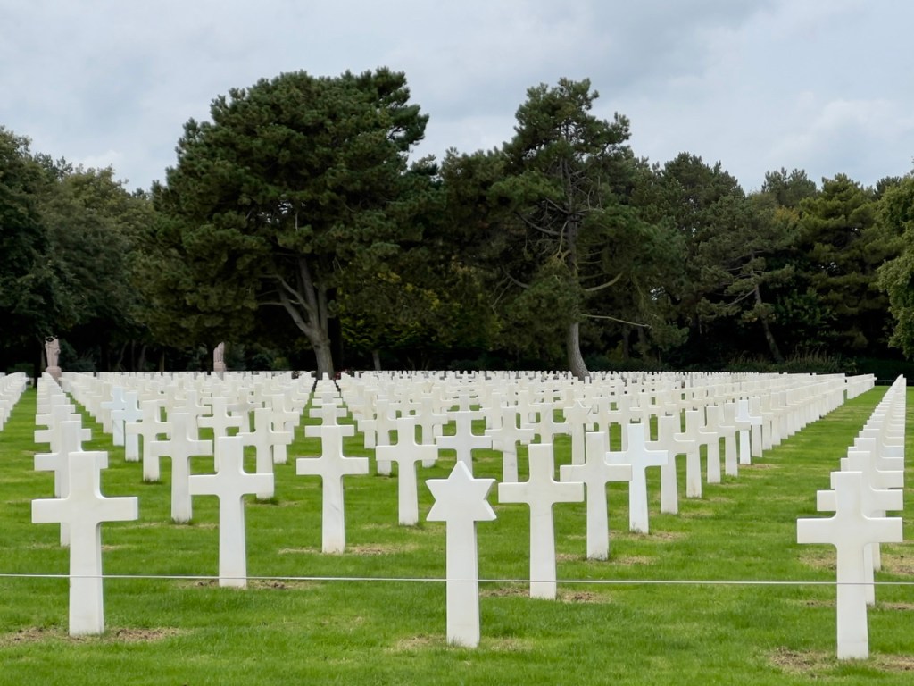
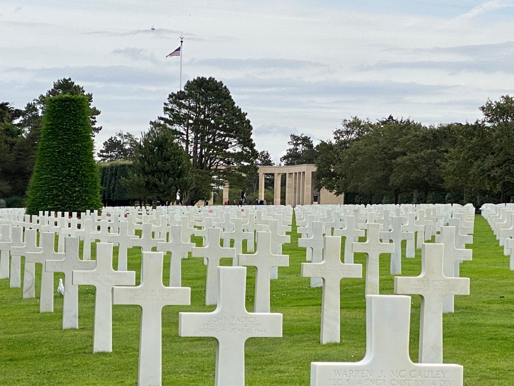
Now for the most sobering site for Americans- the cemetery of Americans killed here – resting above Omaha Beach where they came ashore. The thought that this is only 40% of those eligible to be buried here (families of the remaining 60% asked for the bodies to be returned to the states) is staggering.


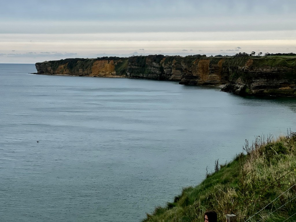
After the very sobering stop at Omaha Beach, Pointe du Hoc was next. Here is where a German gun battery existed that was able to fire on allied ships as far as 11-12 miles. These needed to be disabled in order for allied success. First there was intense bombing of this area and the bomb-cratered, lunar-like landscape still exists. After the bombing, US Army Rangers scaled the steep cliffs to disable the gun battery. Bunkers of these guns still exist.


This visit is quite sobering in so many ways. Our guide was French (who spoke perfect English) and she commented many times about how grateful the French are for what the allies did here because that allows them to have the life they have now. And how the local citizens take care of many of the monuments, etc and make sure to take their children to see these sights so they don’t forget. Too bad that ALL Americans don’t feel the need to do the same.
E & G – so grateful for what we have – including all of you!

Thank you for sharing this emotional and remarkable trip. Truly, our kids/grkids need to see this and remember…. Our freedoms are are hard earned. GBA 🇺🇸
LikeLike