Southern Maine…check

WOW!  What a whirlwind 24 hours of the ‘hot spots’ a little further down the coast in Maine.
By 12 noon Wednesday we were checked into and all set up at the Freeport Village RV Park in Freeport, Maine.  For those of you who are not L.L. Bean aficionados, this is their home office and location of their signature stores.  Yes – that is stores – plural.  There is a ‘Retail’, ‘Fishing & Hunting’, ‘Ski, Bike & Kayak’ and  ‘Home’ store.  Then there are all the usual ‘outlet’ stores within the same two block radius.  So – we were shopping by 1PM;-)
As soon as we had done as much damage there as we could, we were off to Portland – AND AN APPLE STORE.  (Gary had been the whole month of September without a phone!!  A VERY long story with MANY hours on the phone and in Verizon stores with NO results that led to a useful phone.  We even ‘hit’ the Apple store in Halifax just so G could see, touch and hold the new iPhones.) After about an hour in the store – and a VERY helpful Manager – G had his new phone.  WHAT A HAPPY CAMPER – FINALLY;-)!!!
After 5 weeks without a working cell phone…a happy camper
Now Old Port of Portland was calling with a wonderful little Italian Osteria for dinner with all home made pasta.
Next morning was up and at ’em early as it was a travel day.  But, first we needed to make a little side trip to Kennebunkport – breakfast and a little jaunt around Ocean Ave. to see the Bush quarters on Walker Point. 
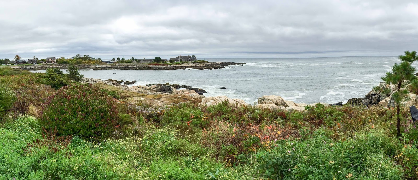
The Bush compound in Kennebunkport, Maine sits on Walker Point.

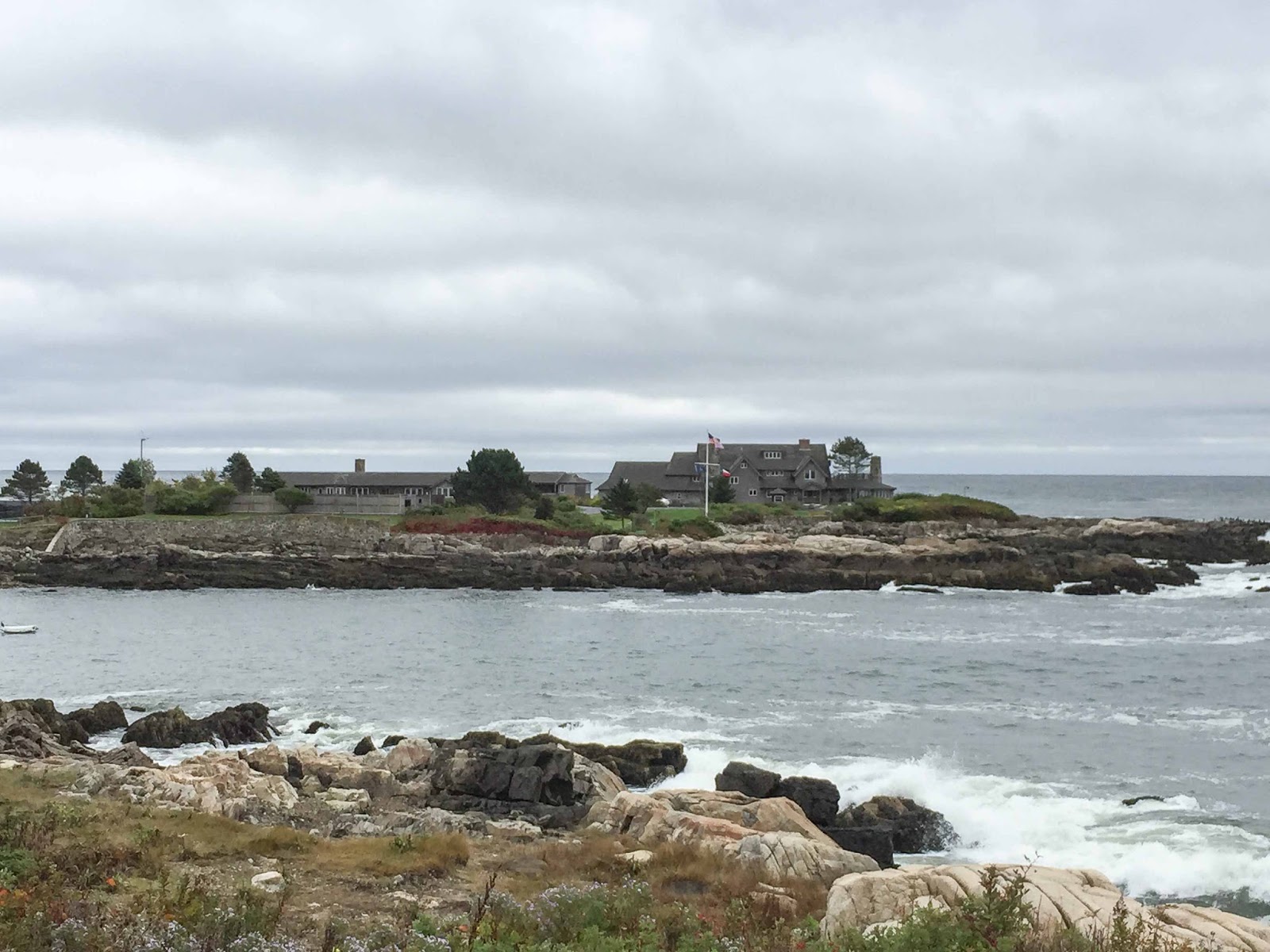
A closer view.

It was now 12 noon on Thursday and our allotted 24 hours in southern Maine were up.

Off and running to – – – – Woodstock?????

Elizabeth & Gary on their way back to the 60’s;-)

Acadia – A Stunning NP along side Bah Hahbah (Bar Harbor)

The National Parks in our country are true gems to be enjoyed.  Each one has its own charms, beauties and history and Acadia NP is no exception.  Inhabiting a large portion of Mount Desert Island, Acadia has many personalities.  One of our favorite spots in the Park – Cadillac Mountain – began as molten magma.  As it cooled, it hardened and crystallized.  This granite is found all in and around the park – even just below the turf on the golf course!  YEARS after the molten magma the glaciers came and shaped the domed summit of Cadillac Mountain and the U-shaped valley of Bubble Pond.  Then came inhabitants – the first dated 5,000 years ago and were hunter-gatherers.  More recently hunters and traders came to the island – then the European fishermen and explorers.  150 years of war between the French and the British made it disputed territory unsafe for habitation until 1761 when English colonists established the first permanent settlement.  After artists came to the island and spread their pictures tourists came to see the beautiful scenery and a tourist trade was born.  The wealthy came to build their “cottages” (which were million dollar homes in the late 1800’s to early 1900’s!) transforming the quiet farming and fishing villages.
Thankfully, many of these wealthy were also preservationists and acquired 5,000 acres in donated land that they then presented to the Federal government in 1916 to be designated a National Monument.   Many more acres were  obtained through donations and in 1919 it was redesignated as a National Park.
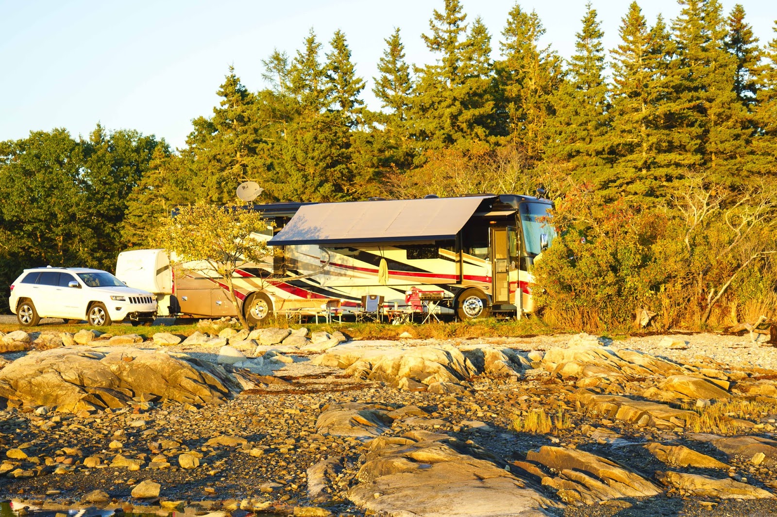
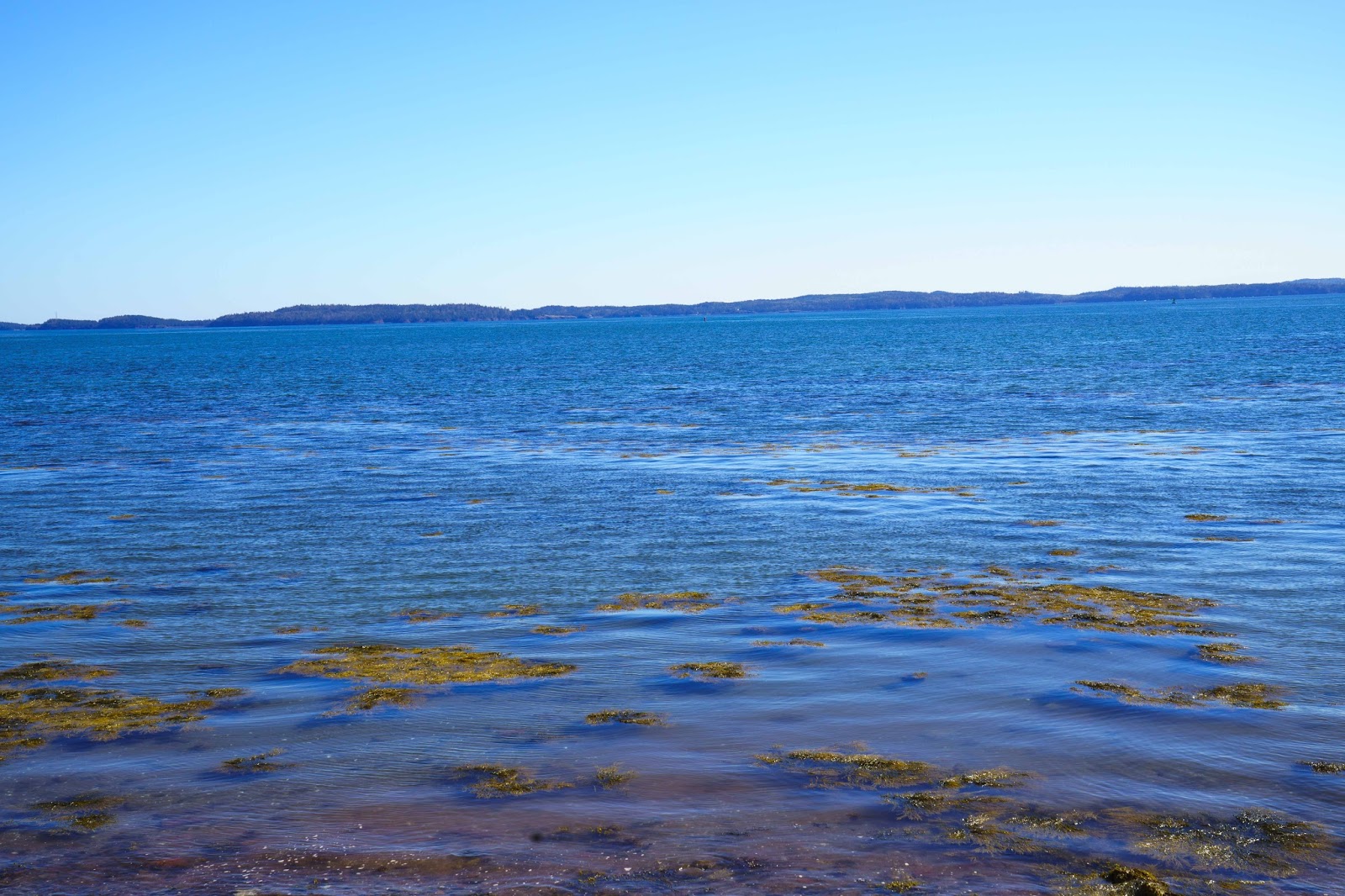
We have been looking forward to checking this NP off our list for some time now – and we were not disappointed.  Of course our first view of the area was our ‘parking place’ as always.  And again – we had a beautiful spot on the Western Bay of the Atlantic Ocean.

Our new spot near Acadia National Park – at low tide.

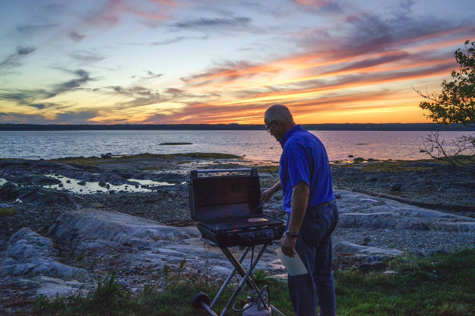
Great views while grilling.

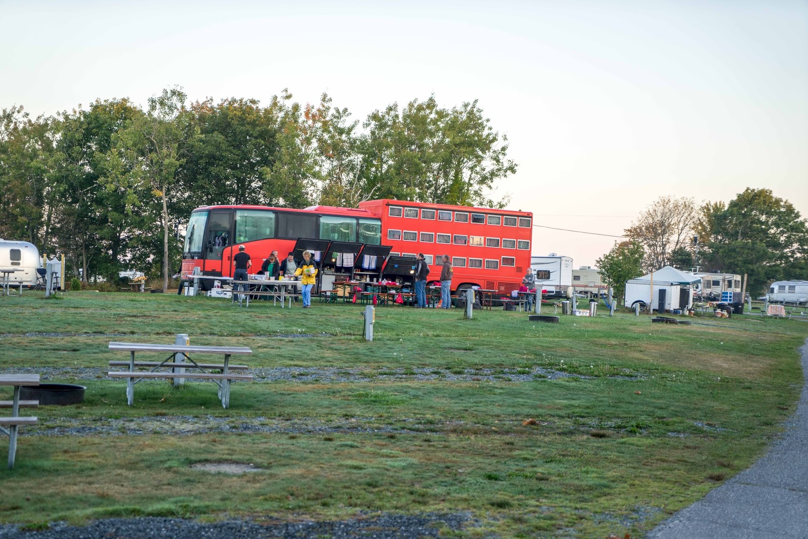
Never seen one of these before..a sleeper tour bus.  Sleeper bunks in the rear – bus tour seats in the front.
26 Germans were on a 2 week trip from Boston to Montreal.

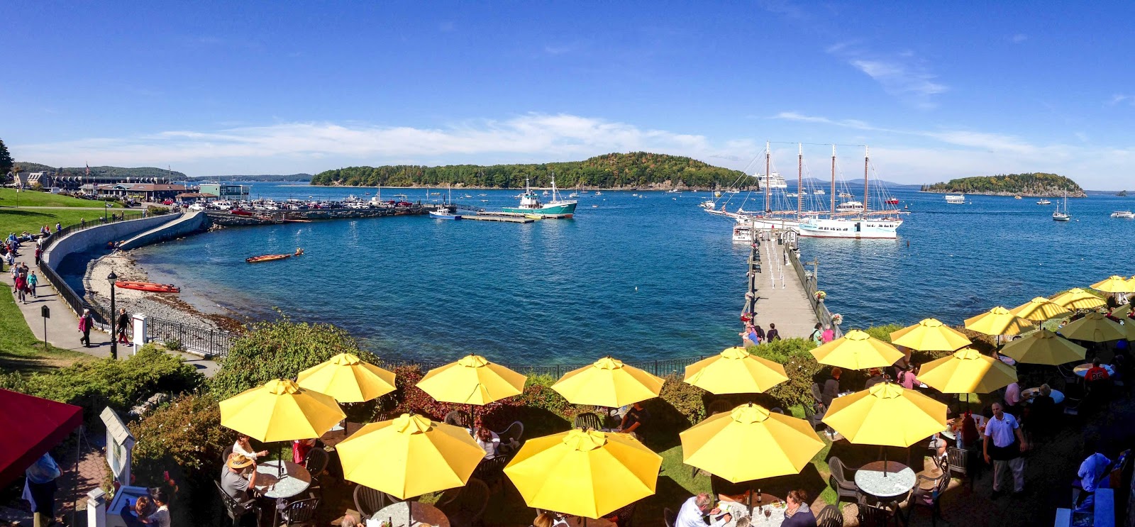
Bar Harbor, a quaint harbor town, sits on the east side of Mount Desert Island and Acadia NP.  We again were blessed with some of the most beautiful weather during our weekend here – which made a lunch on the lawn of the Bar Harbor Inn really delightful.  (It is also a port for cruise ships, which we quickly learned to avoid when we saw two or three of those floating cities in port;-(  )

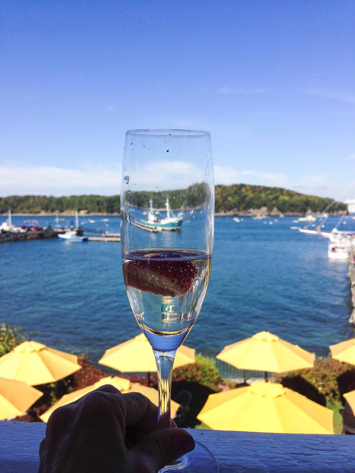
We had lunch at the Bar Harbor Inn under on of the umbrellas before our harbor cruise on the
 fourmasted schooner in the background.

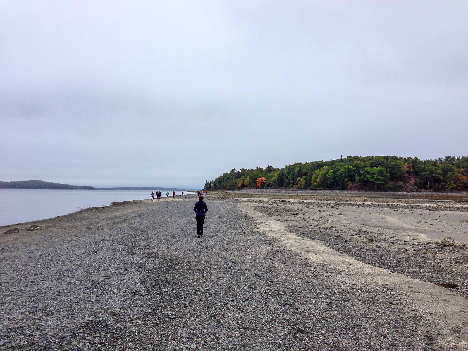
See the island in the background?

You can walk to it during low tide.

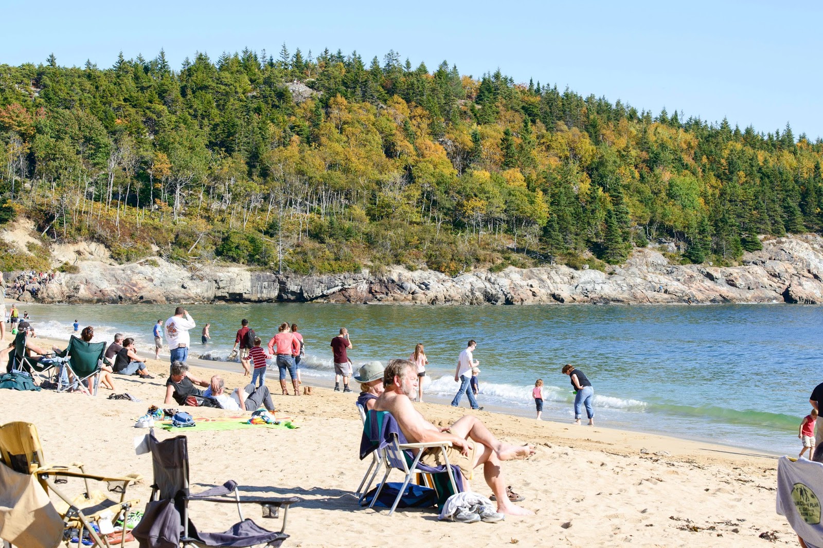
Once one has investigated Bar Harbor, it is time to head into the Park.  There is way too much to do but we attempted to pack in as much as possible.  The 20-mile Park Loop Road provides outstanding shoreline views – both from high above the bays and ocean and from the lone sand beach and rocky outcroppings.  Remember – I talked about the warm, beautiful weather?  Well, Saturday it was in the mid-80’s and all the pasty easterners were exposing themselves at Sand Beach.

Just like a day at Venice Beach, CA??

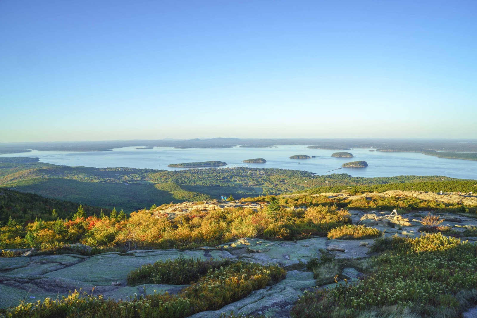
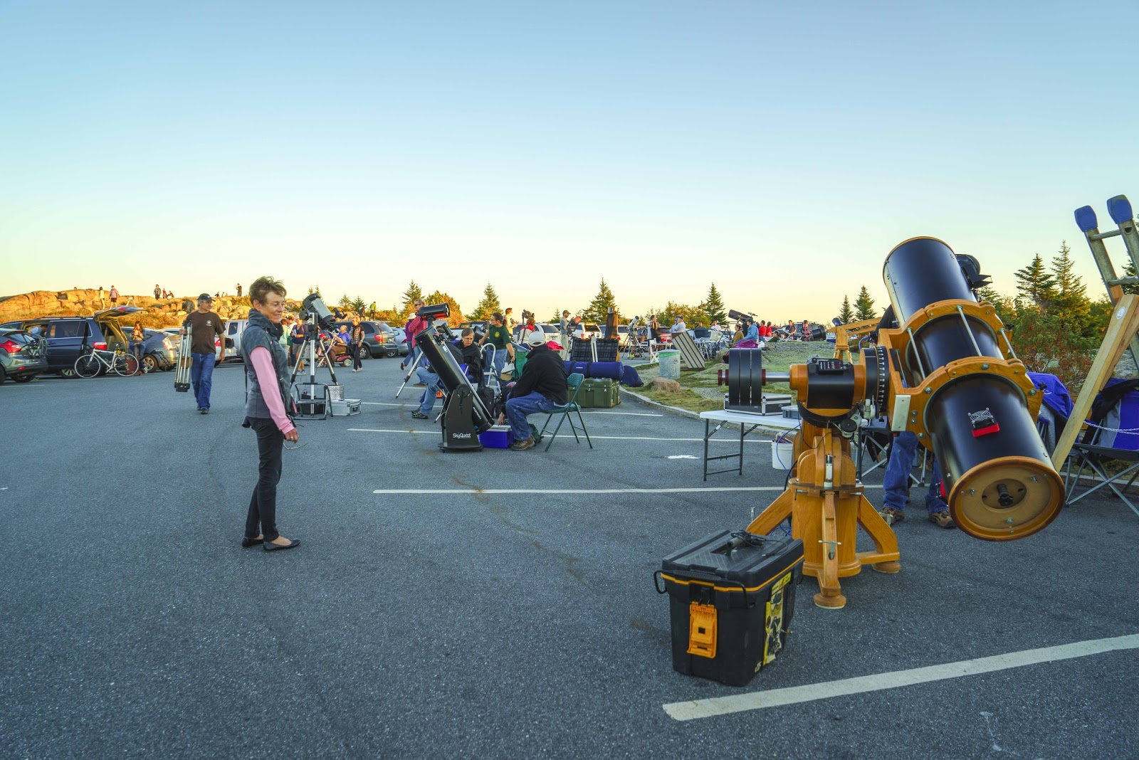
There were several hikes to the top of Cadillac Mountain – the park’s highest peak AND the tallest mountain on the Atlantic coast north of Brazil!!  The summit is 1,530 – which, coming from Park City, hardly seems like it could be the tallest on the Atlantic coast but that’s what all the literature says?!?!  In any event – it was one of our favorite places in the Park.  One gets a 360 degree view atop the granite dome and, therefore, a favorite spot to watch the sun rise and set.  While we were here there was also a night sky watch as there was a new moon so very little light to interfere with the star watching.

A view of Bar Harbor, Bar Island (the long one on the left) and Frenchman’s Bay from the top of Cadillac Mountain.

There were lots of folks getting ready for Sky Watch on the top of Cadillac Mountain.

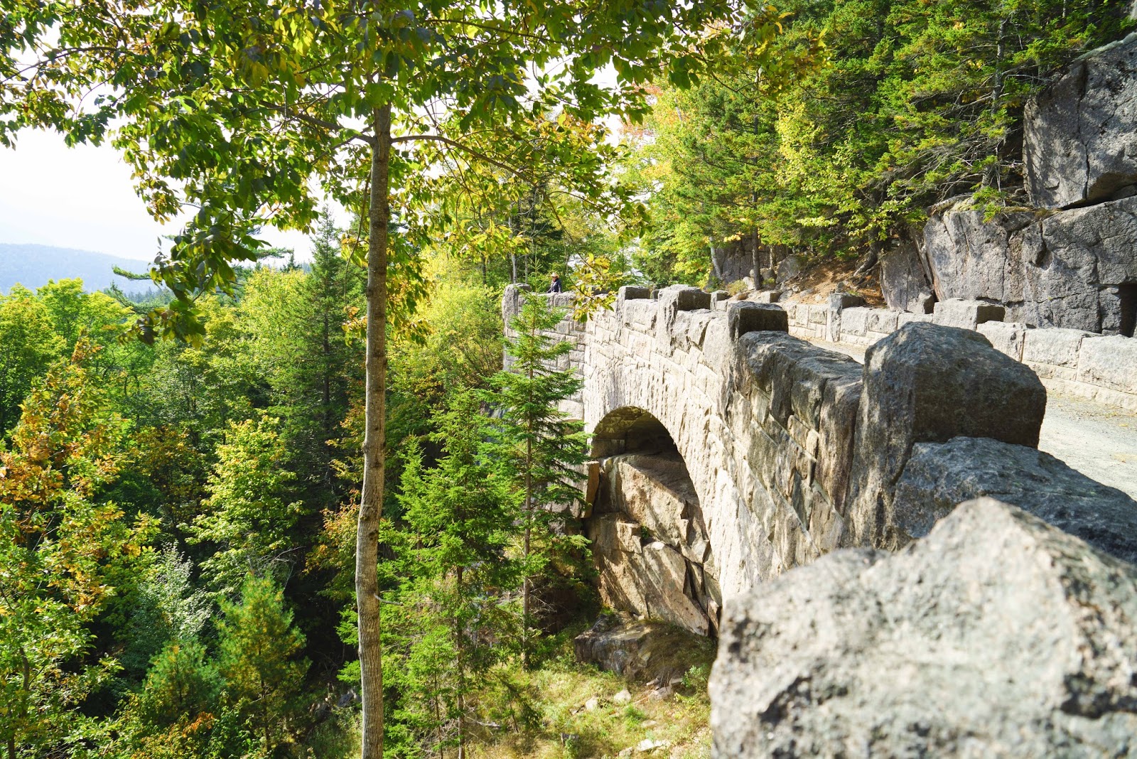
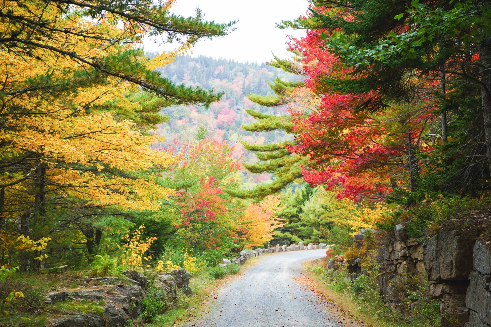
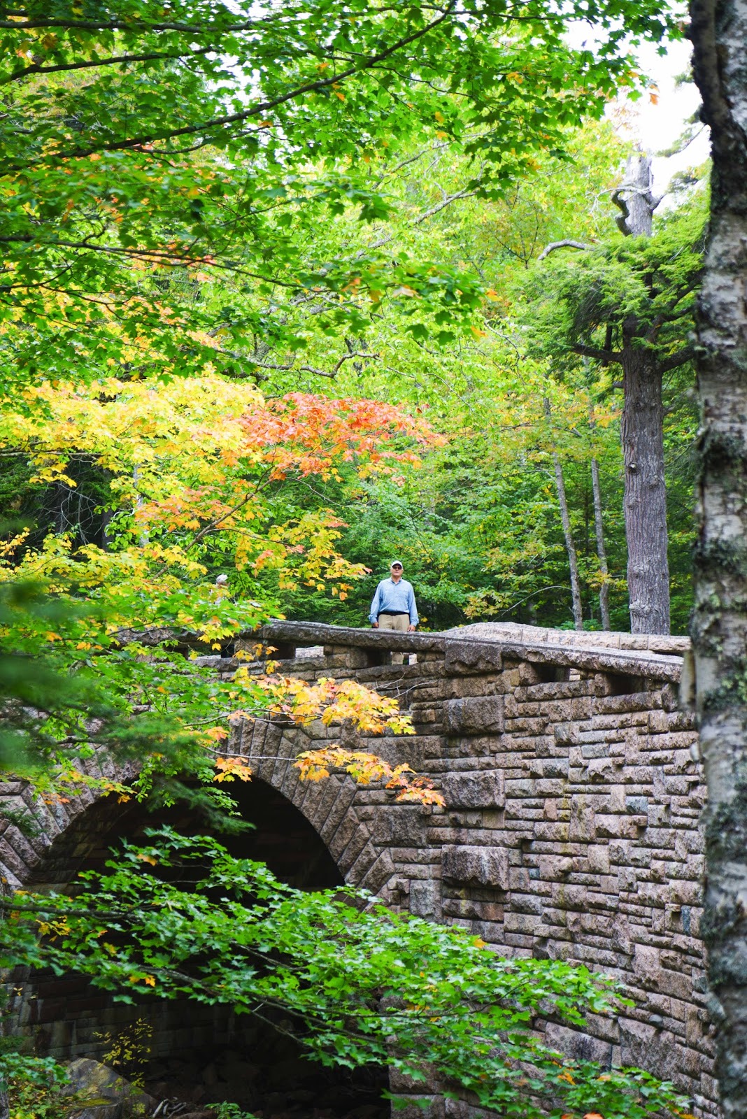
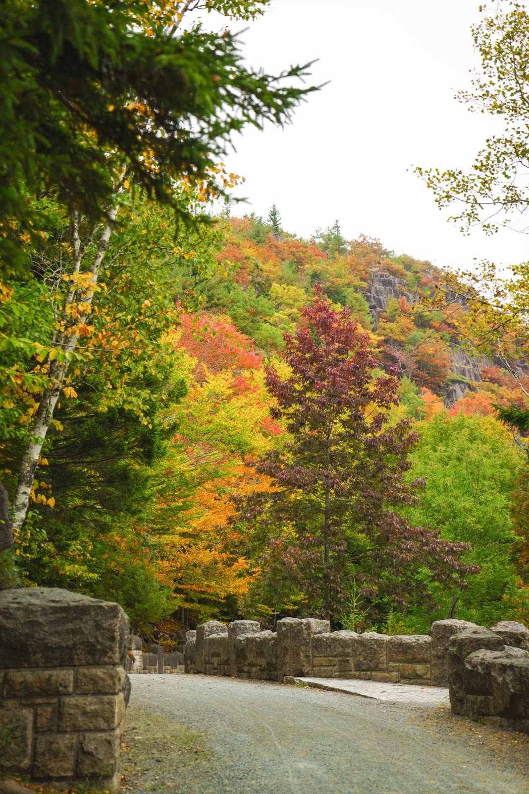
Another favorite – The Carriage Roads.  Forty-five miles of rustic carriage roads, the gift of John D.  Rockefeller Jr., weave around the mountains and valleys of Acadia NP.  Rockefeller wanted to travel on motor-free byways via horse and carriage into the heart of Mount Desert Island.  (He was afraid that the new automobile would take over the quiet of the Park so they were forbidden on the Carriage Roads.  It remains that way today – only hikers, bikes and horses can use the Carriage Roads.)  His construction efforts from 1913 to 1940 resulted in roads with sweeping vistas and close-up views of the landscape.  On these roads, Rockefeller financed 16 of 17 stone-faced bridges, each unique in design, to span streams, waterfalls, roads, and cliffsides.  We only managed to do a five mile loop with five bridges and fell in love with these roads.

The Carriage Roads in Acadia National Park provided lots of beautiful scenery for our “walk in the park”.

And afterwards…

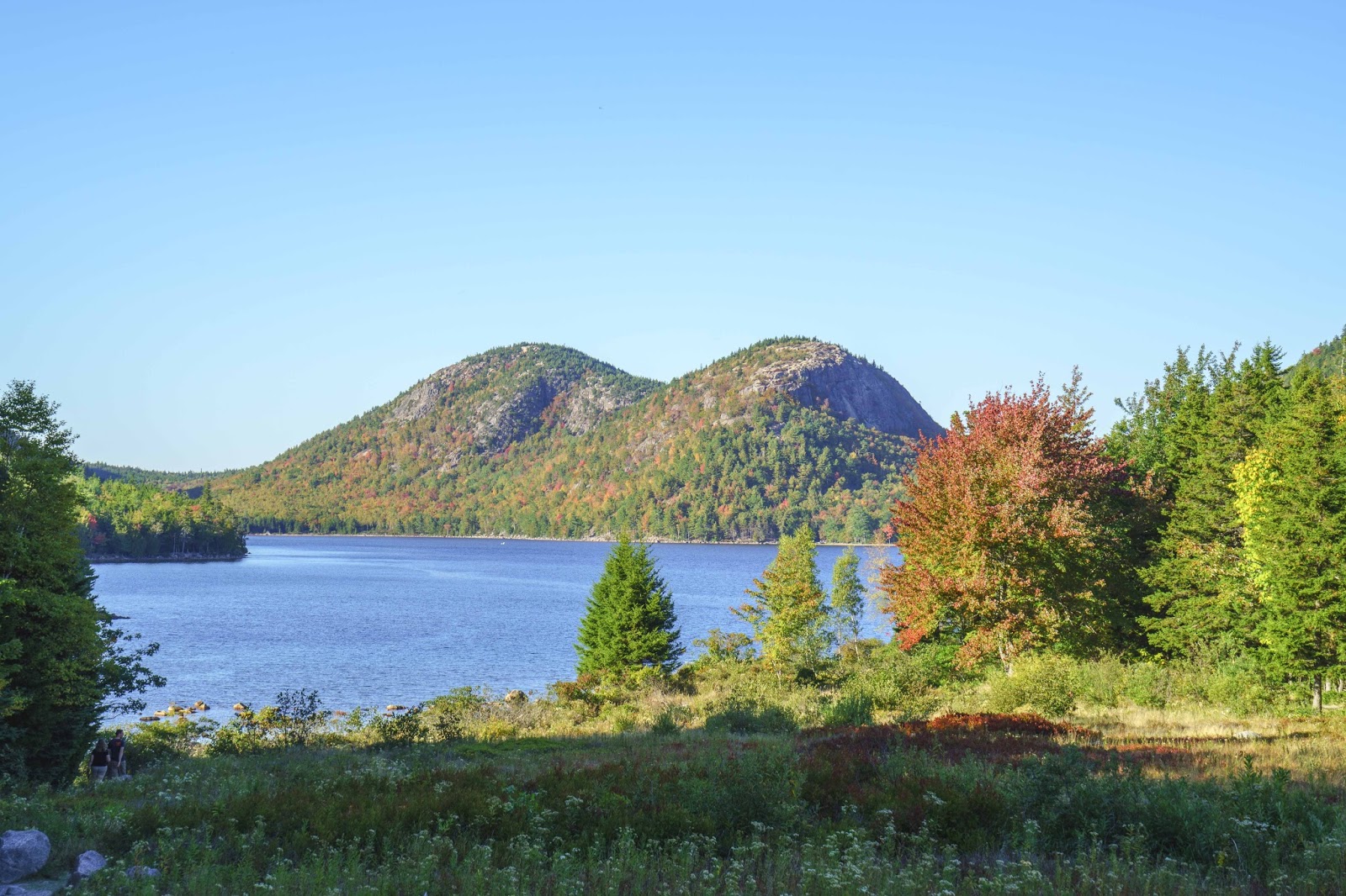
Of course, we took the loop that would allow us to end at Jordan Pond, the Bubbles and the Jordan Pond House for lunch;-)  In a park dotted with glacier-carved ponds and lakes, Jordan Pond is perhaps the loveliest.  Its waters are clear and cool – a water supply for the area – so no swimming allowed.  Its shores are flanked by Penobscot Mountain to the west (which we hiked around on the Carriage Roads) and to the north the pair of round mountains, aptly named, The Bubbles!

The Bubbles rising out of Jordan Pond.

(As we were wandering around taking these pictures – a young man came up to Gary and asked if he would take a picture of him and his girlfriend.  He turned away from his girlfriend and whispered to Gary that he was going to propose – so would Gary take several shots!  We got to be the photographer and witness the happy event as he proposed on one knee right here in front of this pond!!  What a memory for them – and us.)

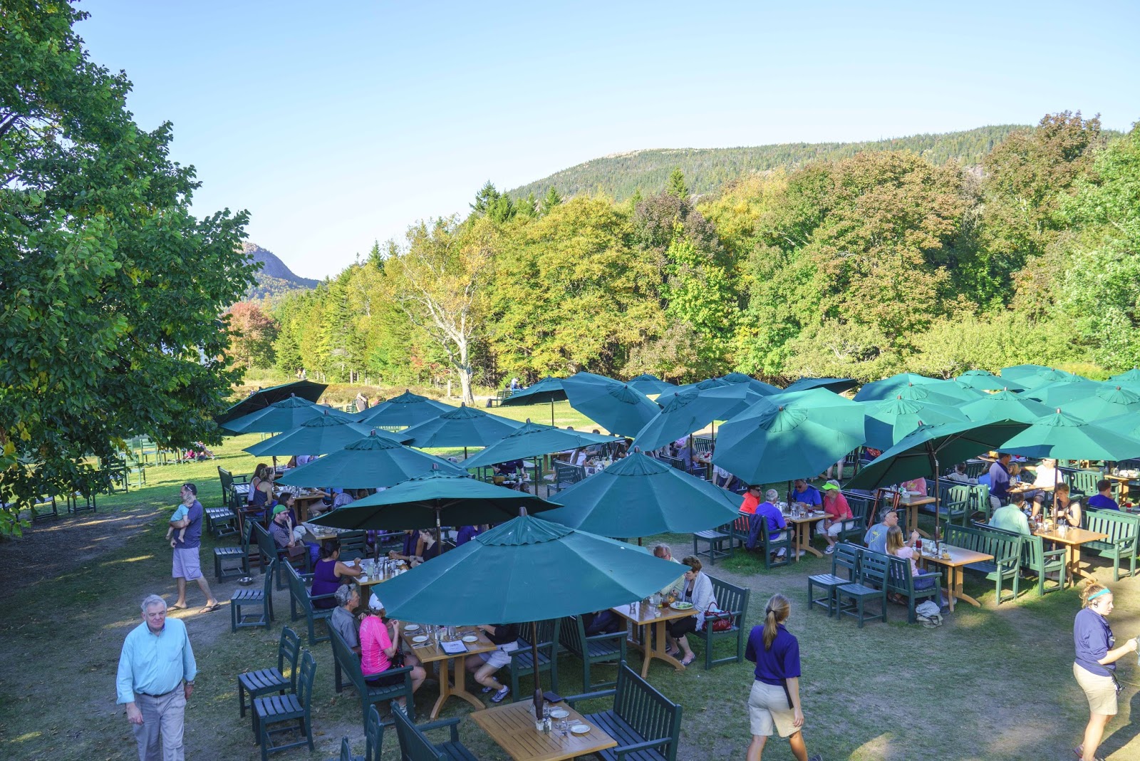
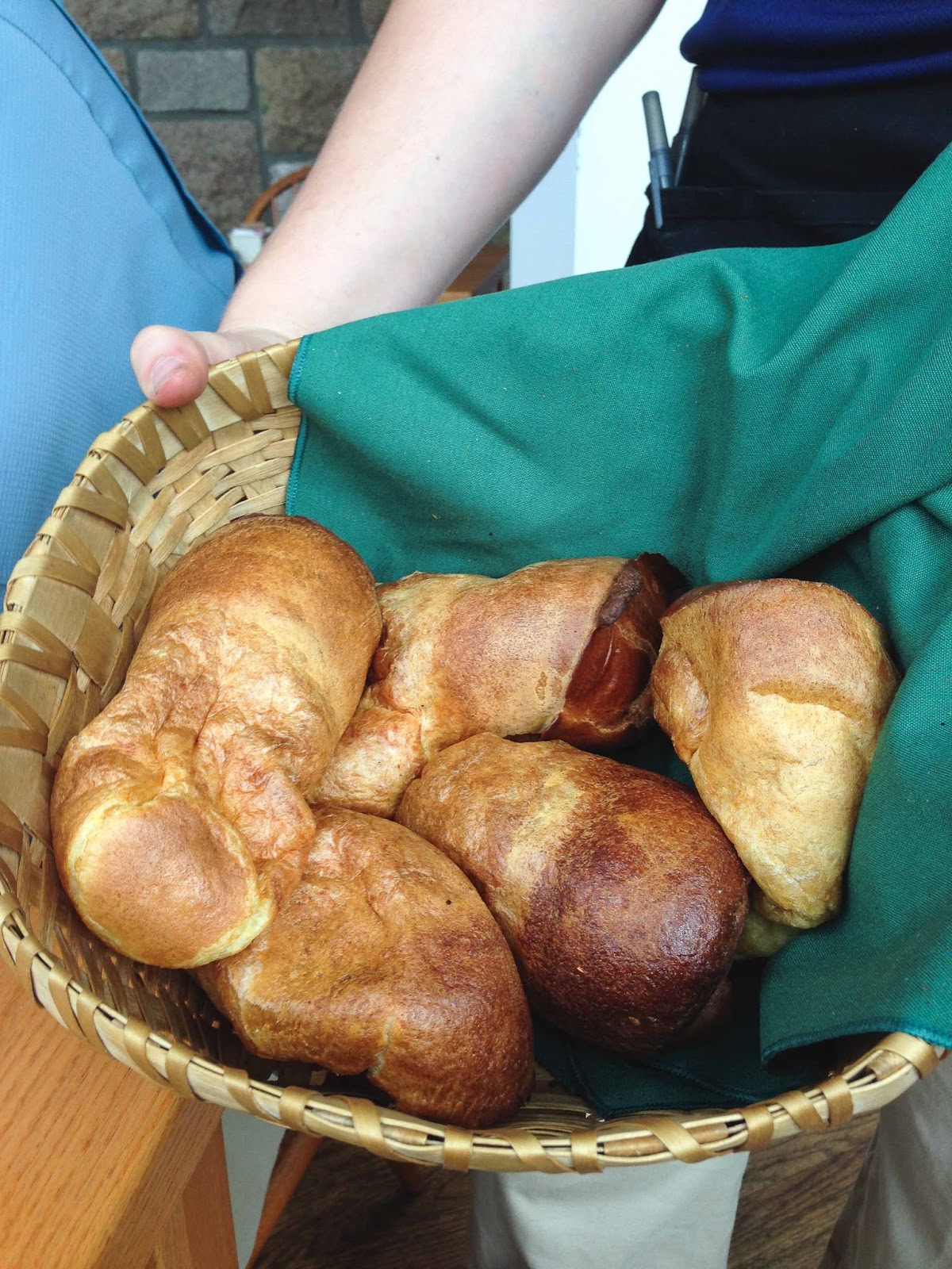
The best part of ending ones hike here is Jordan Pond House, where one can have lunch or tea on the  lawn.  As Saturday was that wonderful 80 degree day – it was tea on the lawn with their ‘famous’ Popovers;-)

So did many others!

YUMMMMMMM!!!!!!!

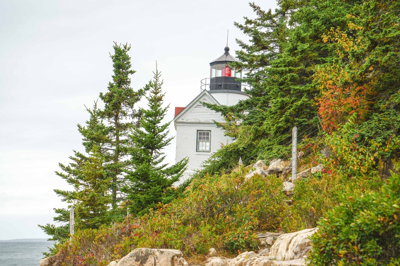
It was bound to happen – a gloomy day.  So – it must be time for a ride around the southwest part of the island.  First – Somes Sound – the only fjord in the contiguous 48 states.  Next – the Seawall – literally a seawall protecting the island from the tides of the Atlantic.  Bass Harbor Lighthouse – One of the most photographed lighthouses on the East Coast, the head light rises from the rocky southernmost tip of Mount Desert Island.  The light was built in 1858 and marks the entrance to Bass Harbor.  Now it is fully automated and managed by the U. S. Coast Guard.  There were also great views of the turbulent ocean this day from the rocks below.

The Bass Harbor lighthouse.

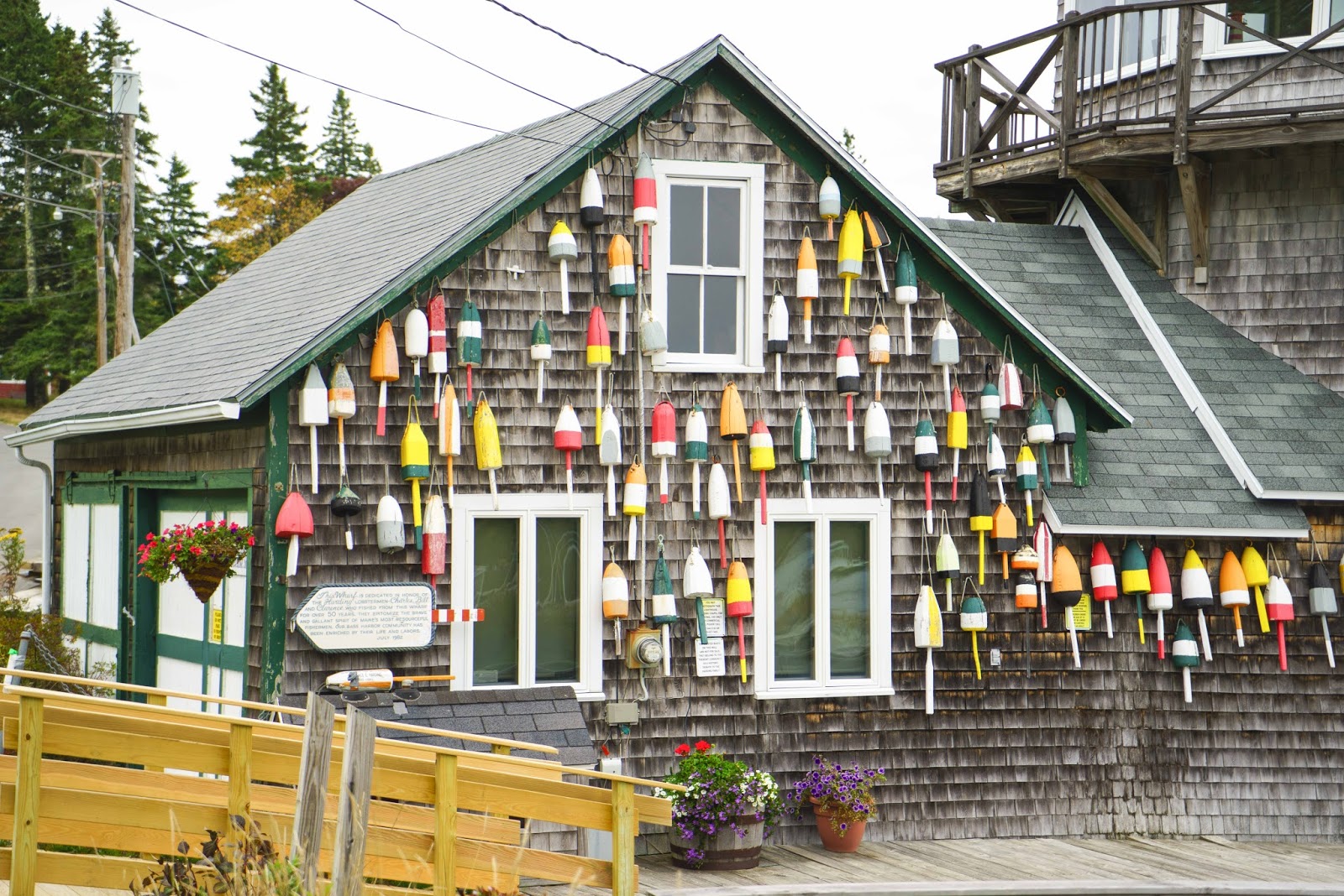
This serves as a memorial for two brothers who ran a lobster fishing business from this wharf for over 50 years.

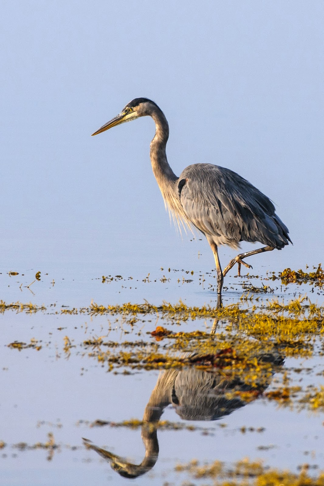
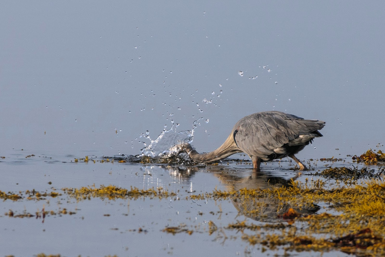
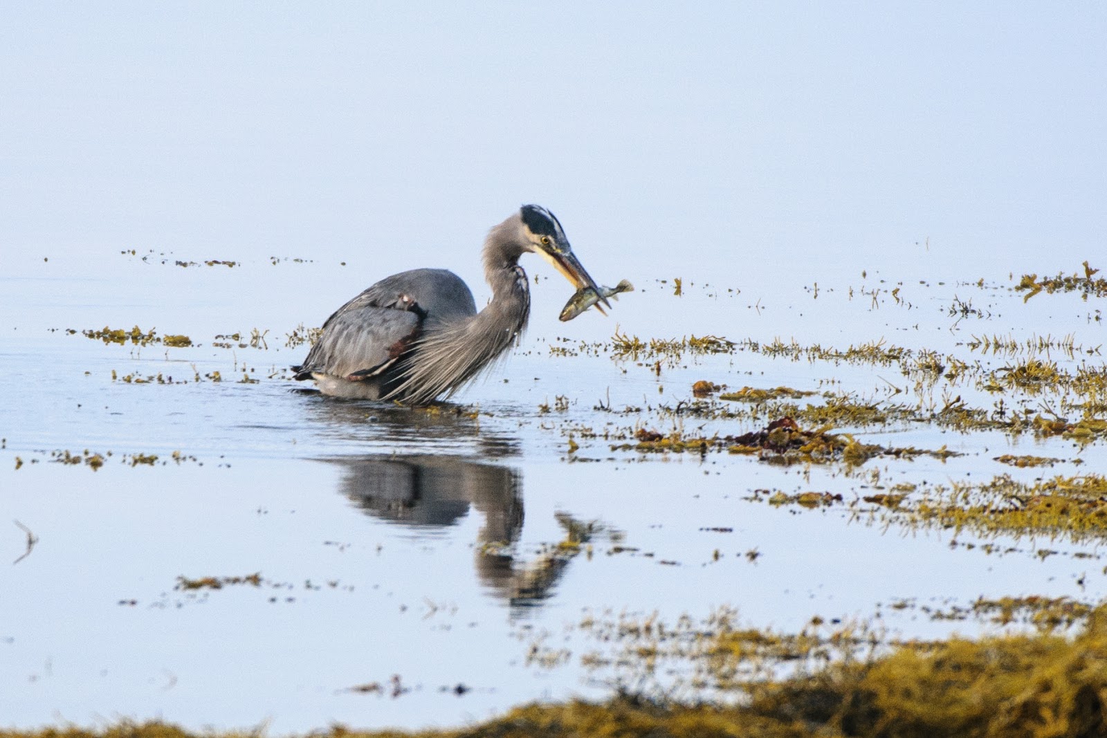
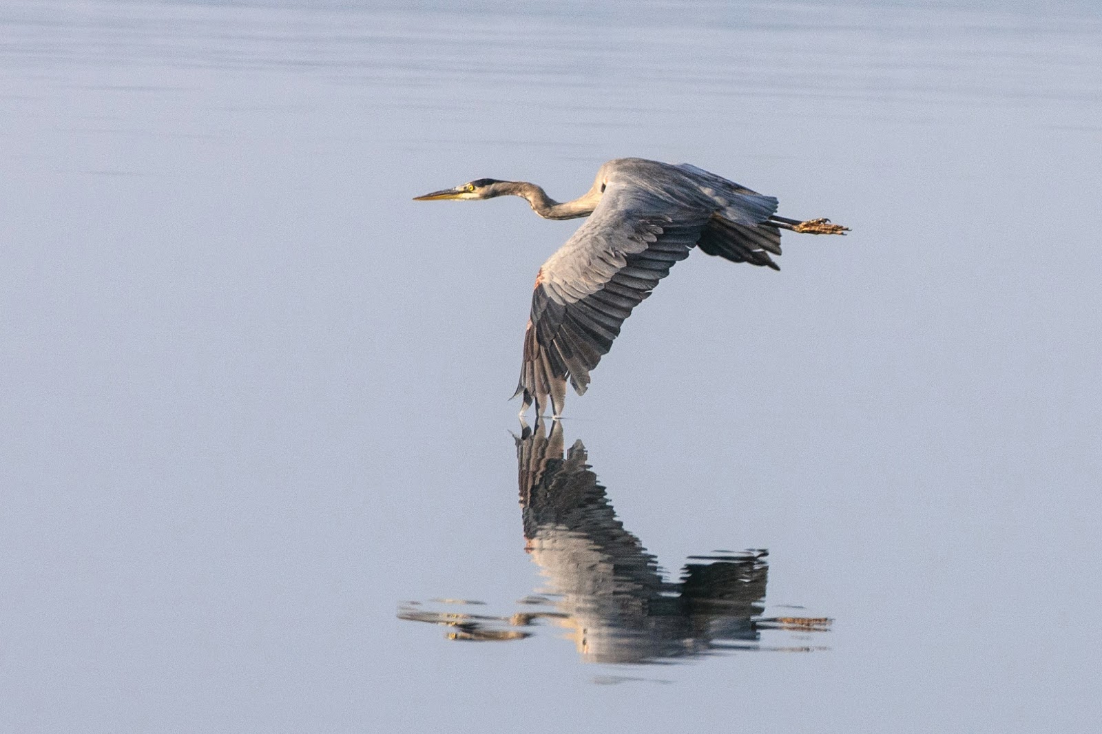
With the beautiful ‘parking’ spot that we had, watching the low and high tides and the bird life just out our door kept us busy when we were actually at the Bus.  Gary had his eye on this crane for several days and finally managed to get good lighting and a low tide to capture this guy fishing —

It took almost a half hour to edge up on this blue heron while it was hunting for breakfast.

Then I got too close.

Another fantastic five days of experiences and an ever growing love for our National Parks.

E & G Wowed by Nature

Golf (and other things) in St. Andrews;-)

What a wonderful, charming, scenic little town.  In short – we loved it at St. Andrews by-the-Sea!  It was a perfect place to spend the last few days in Canada – just as the colors are beginning to explode —

Fall colors are beginning to spread as our time in Canada draws to a close.

That Bay of Fundy tide thing was also very apparent here – which we watched in the morning and evening from Magic’s parking spot.  Know it sounds like a broken record – but, our parking spots have been unbelievable and this was no exception.

A group walking on the beach at low tide.

I hope they got back to shore before this.  AND – that is Maine across the water!

For a little village there sure was a lot to do here.  Our 2 1/2 days were packed – no rest for the weary.

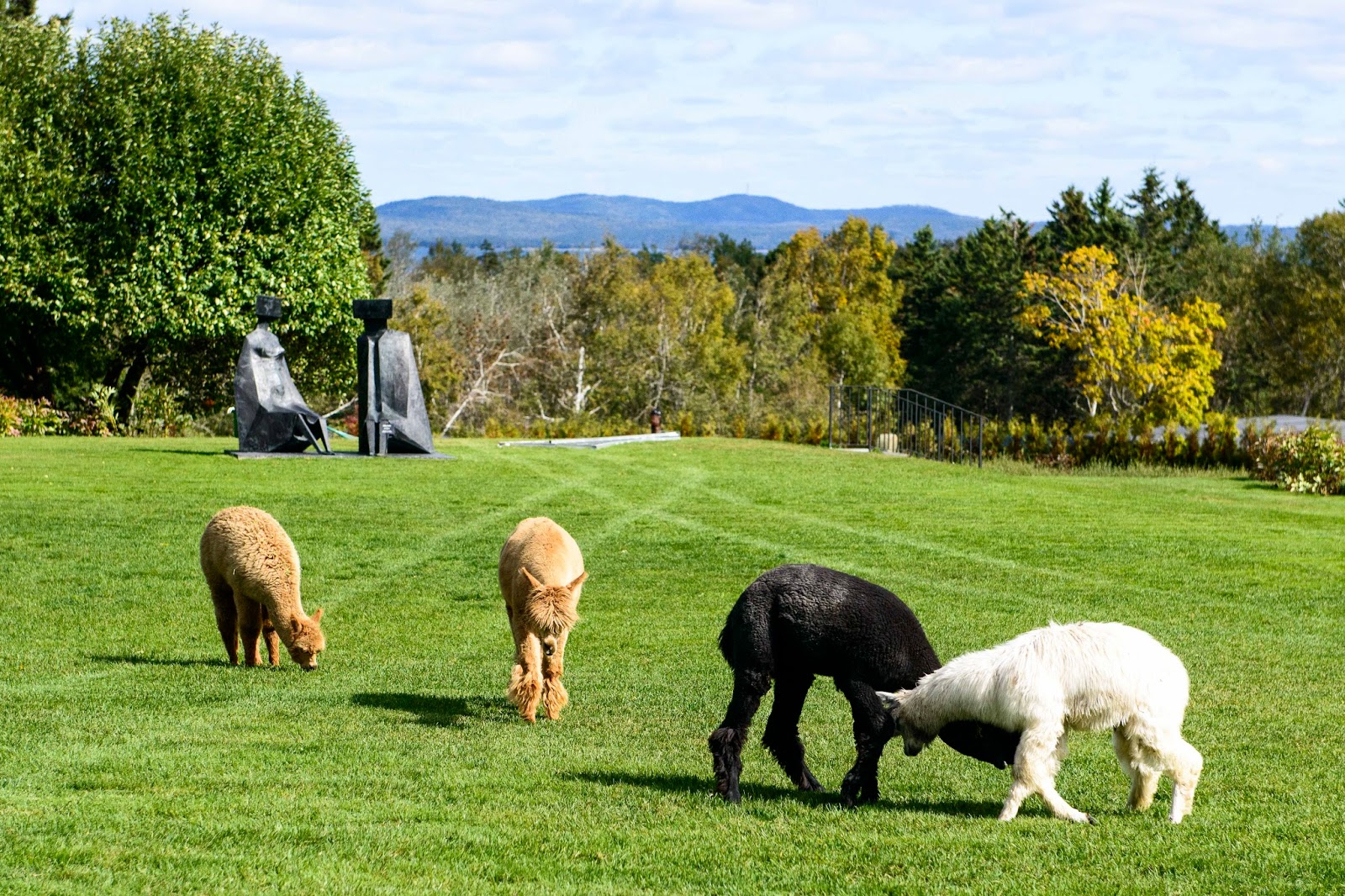
First up was the Kingsbrae Garden – 27 acres that are part of the original summer home of Lucinda Flemer’s childhood.  Her family lived here for five generations and she and her husband still spend their summers here.  However, they realized they had far more land than they needed, but they wanted to keep it green.  Finally, after months of brainstorming what to do with the property, Lucinda began overseeing plans for the Public Gardens in 1995.  What makes this such an accomplishment is that she built her garden using unskilled local labor provided by teens and unemployable adults – young and old, troubled teens and abused women, people who had never held down a steady job.  The resulting gardens are wonderful and many of those who helped create it are still employed here!  Besides the Gardens, there is a wonderful little Cafe with excellent food (we enjoyed a delicious lunch) and a group of alpacas that come to graze on the lawn outside the Cafe everyday at noon —

A couple of young Alpaca jostle at the gardens.

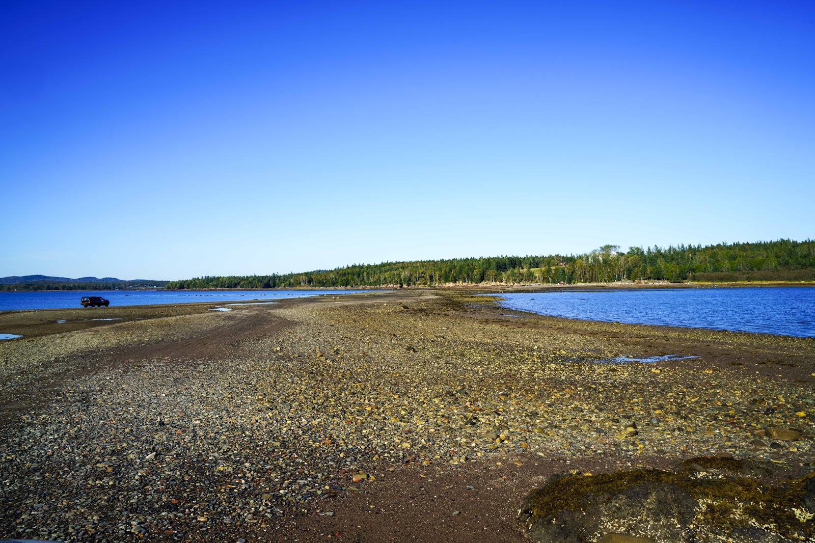
Remember that tide thing?  Well – during low tide here a sandbar is exposed that one drives on to get to Ministers Island – named for Rev. Samuel Andrews who built his stone house here in 1790.  In the mid 1890’s Sir William Cornelius Van Horne, the second President of the Canadian Pacific Railway, discovered the Island.  Flush with wealth from building the Canadian coast-to-coast railway, he built his summer “cottage” and model farm here.   The island is only open about 3 hours a day scheduled around that low tide time so that visitors can drive there on the exposed sandbar, get a house tour and get back across the Bay before the tide comes back in!   Unfortunately, the estate changed hands several times in more recent years with most of the original valuable furnishings sold and then falling into disrepair.  However,  a trust has now taken over the property and is progressing in restoring the property.  In any event, it is still something to see.  

The low tide road to Minister Island
The Van Horne summer ‘cottage’ on Minister Island
The Algonquin Hotel, one of those historic hotels built by the railroad (in this case the Canadian Pacific RR), also provided much pleasure for us.  It is a wonderful old hotel which has been restored by Marriott and provided a morning of spa activities for us, a delicious dinner one night AND a St. Andrews golf course so we can say – “we finally played golf at St. Andrews”!! 


Golfing at St. Andrews ;-}

St. Andrews also provided a little Main Street chocked full of shops and restaurants within walking distance from our ‘parking spot’, that kept us busy when we weren’t involved in all the activities above.  And, if that wasn’t enough, the cute little town of St. Stephen – Canada’s Chocolate Town –  was just about 30 minutes away with a chocolate factory, museum and store;-)

Farewell Canada.

St. Andrews by-the-Sea!  What a wonderful way to conclude our adventures in Canada.  Tomorrow it is back to the US.

What fun – ey?!?!

Elizabeth & Gary saying a fond farewell to Canada;-)  

Fantastic Fundy Fhenomenon;-)

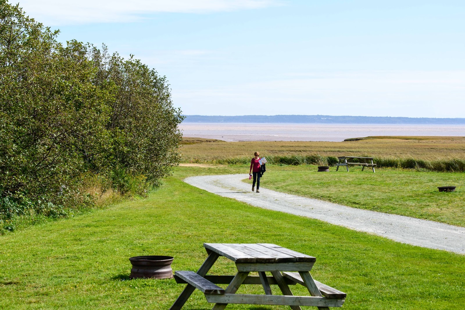
We are getting sooooooo spoiled – Hopewell Cape provided yet another beautiful spot – where the amazing tidal action of the Fundy Bay was visible from Magic.

Our spot on the Bay of Fundy in New Brunswick.

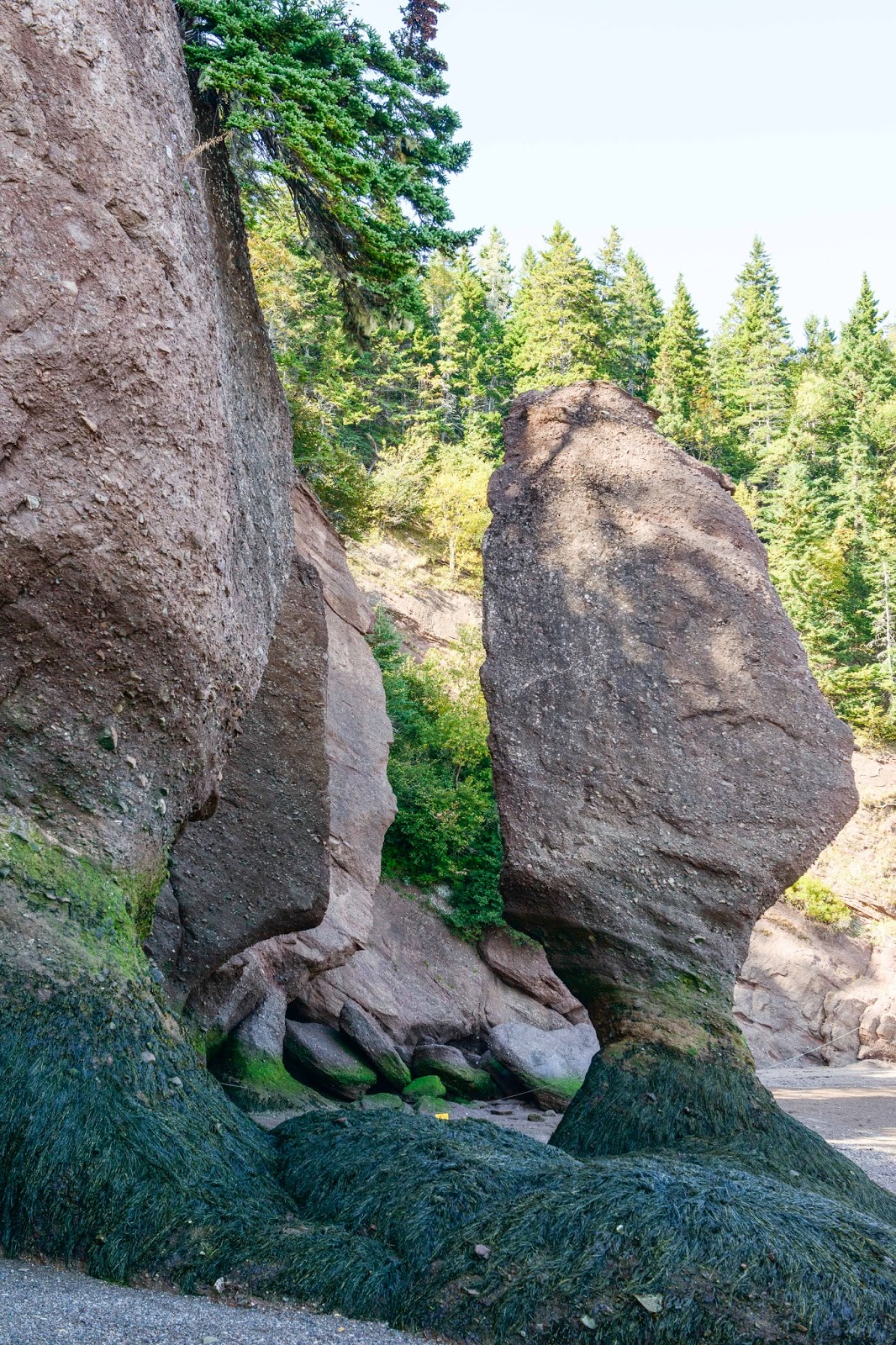
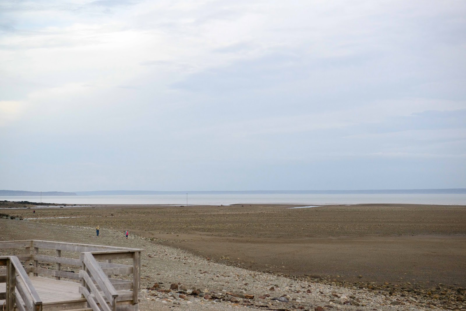
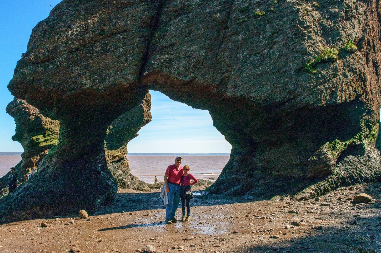
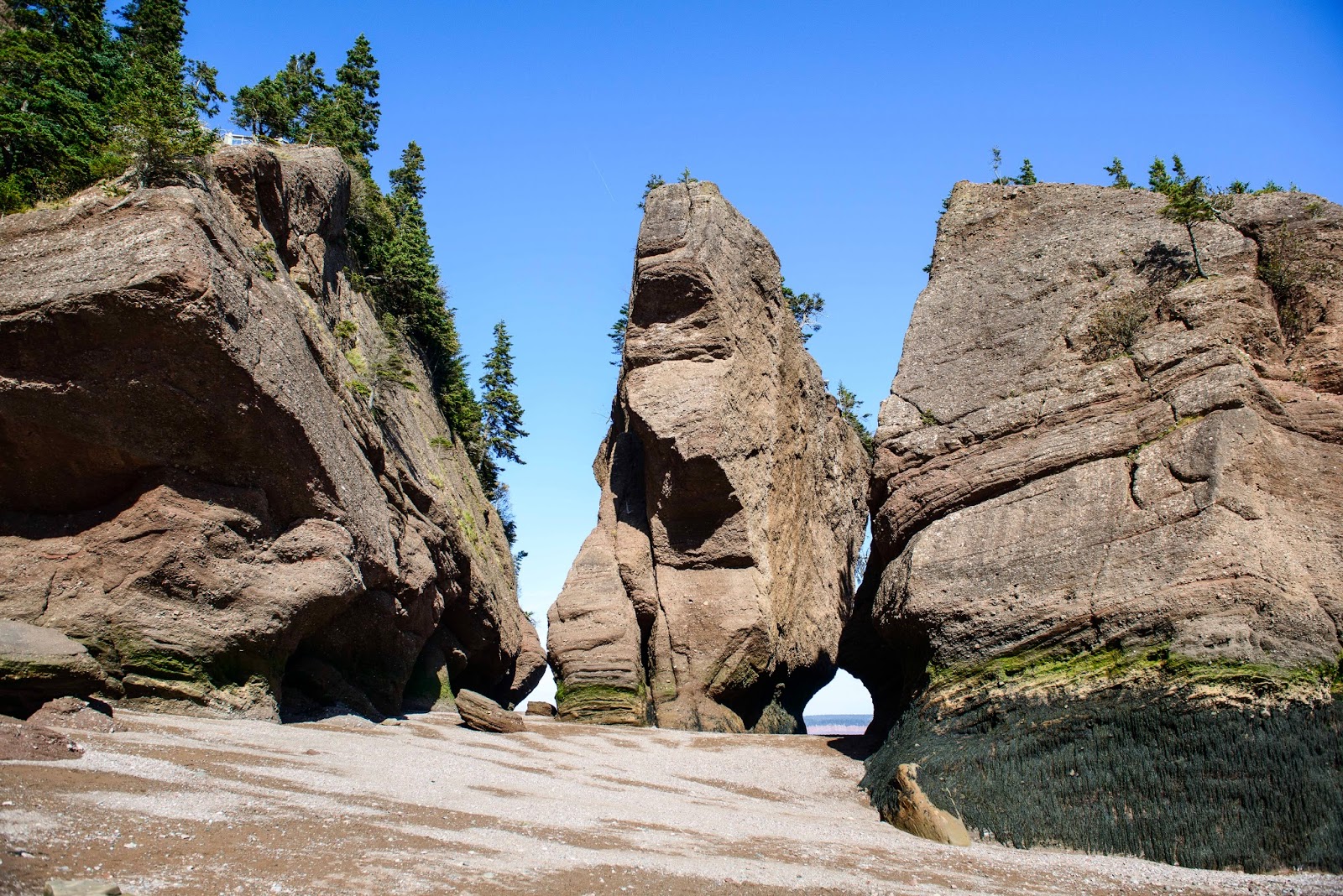
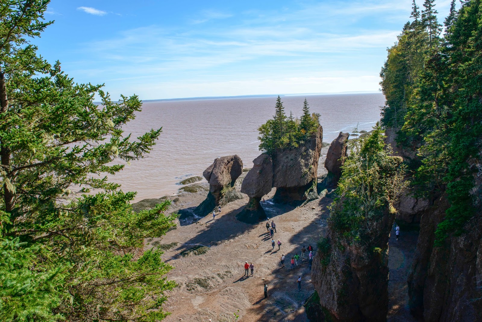
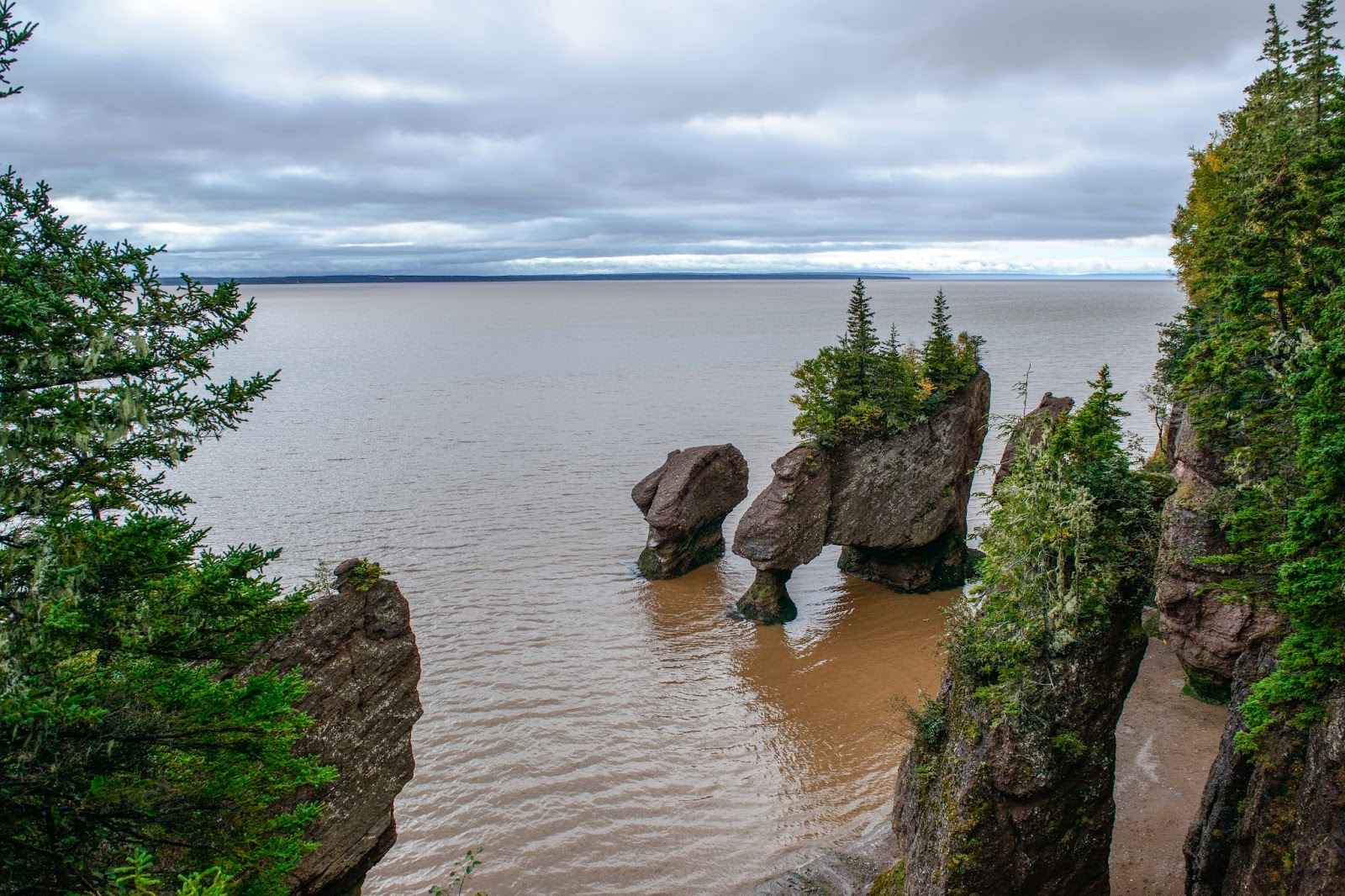
Just blocks away from our Ponderosa Pines CG, one finds the Hopewell Rocks where you can literally walk on the ocean floor at low tide.  Then you can watch the worlds highest tide (reaches the height of a 4-story building!) come back in and completely cover the area you were just walking on.  This phenomenon occurs EVERY day – of course.  Although this seems quite obvious, as the tides are created by the pull of the moon (which comes and goes every day) and the severity depends on the position of the moon to the earth (more severe on full and new moons – least severe while we were here) – so of course it happens every day.  But, this statement is made to emphasize the enormity and severity of this act of nature and how those depending on the waters for fishing in these areas must cope – EVERY DAY!  You will get what I am talking about as you peruse the pictures that my crack photographer has provided below – – –

Exploring the Hopewell Rocks at low tide.

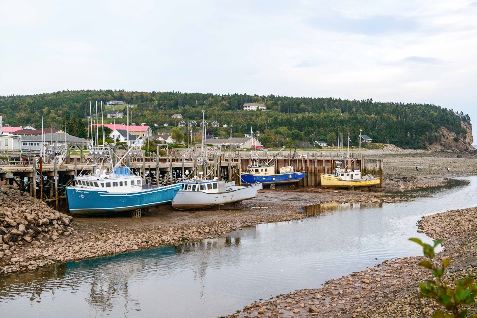
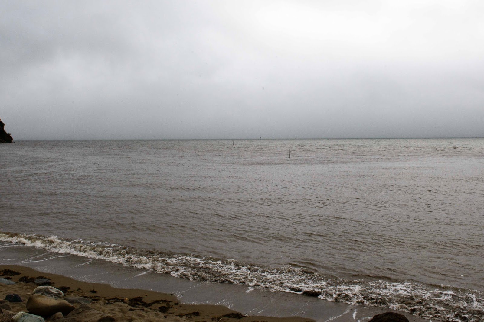
This next few shots compare low tide and high tide the next morning at the the same locations.

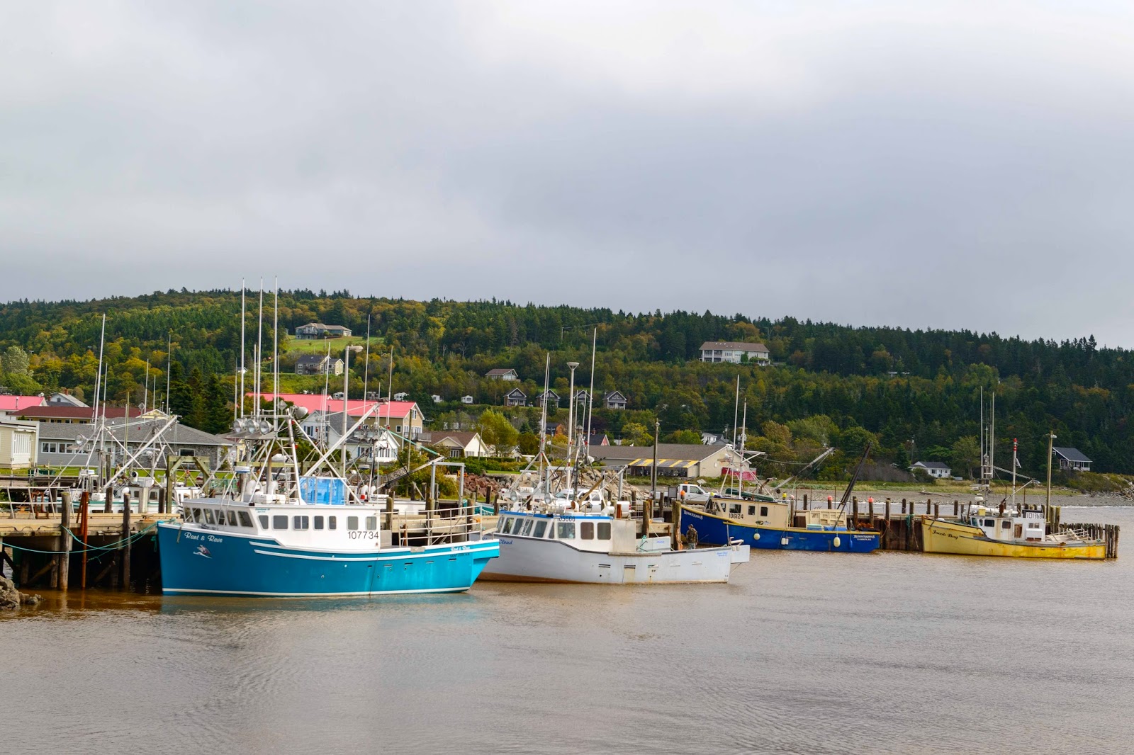
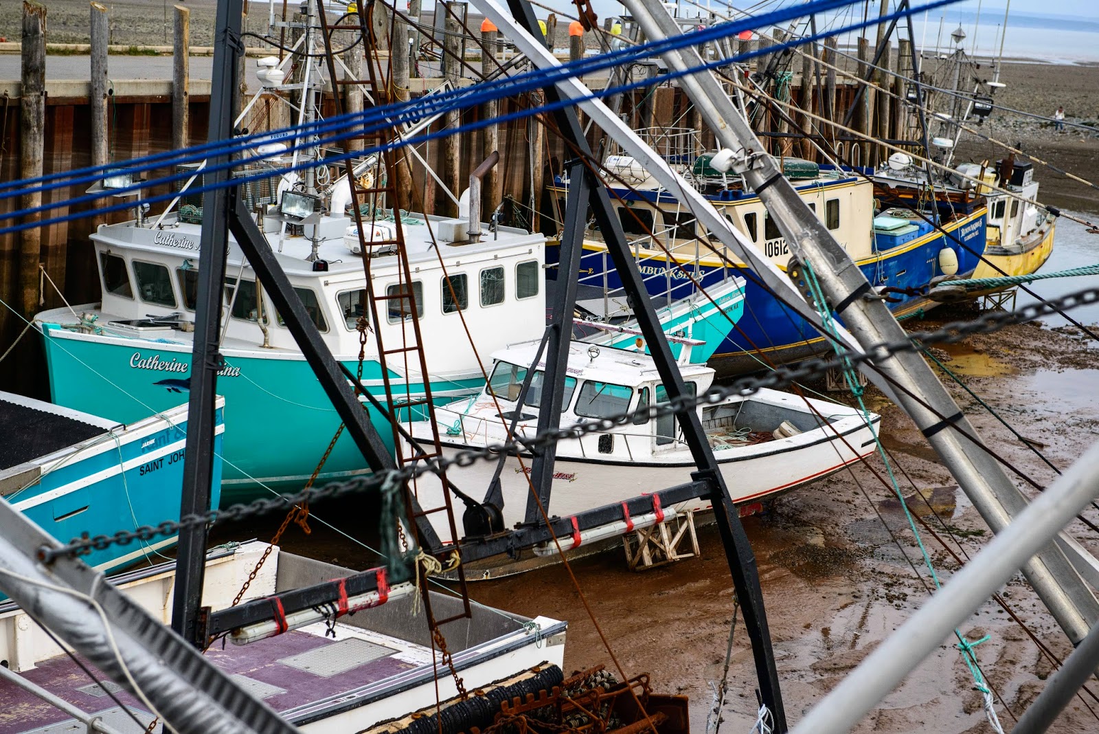
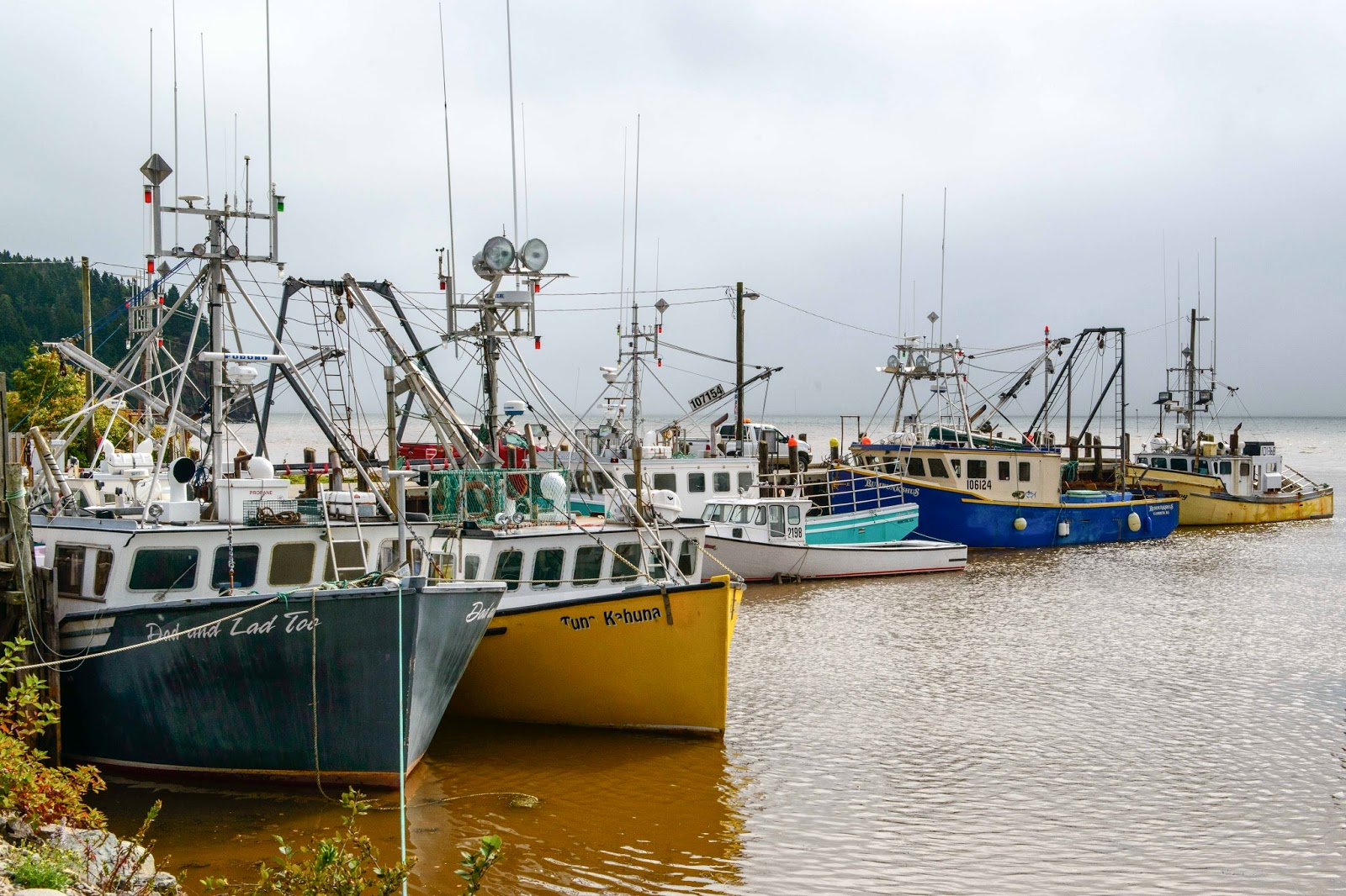
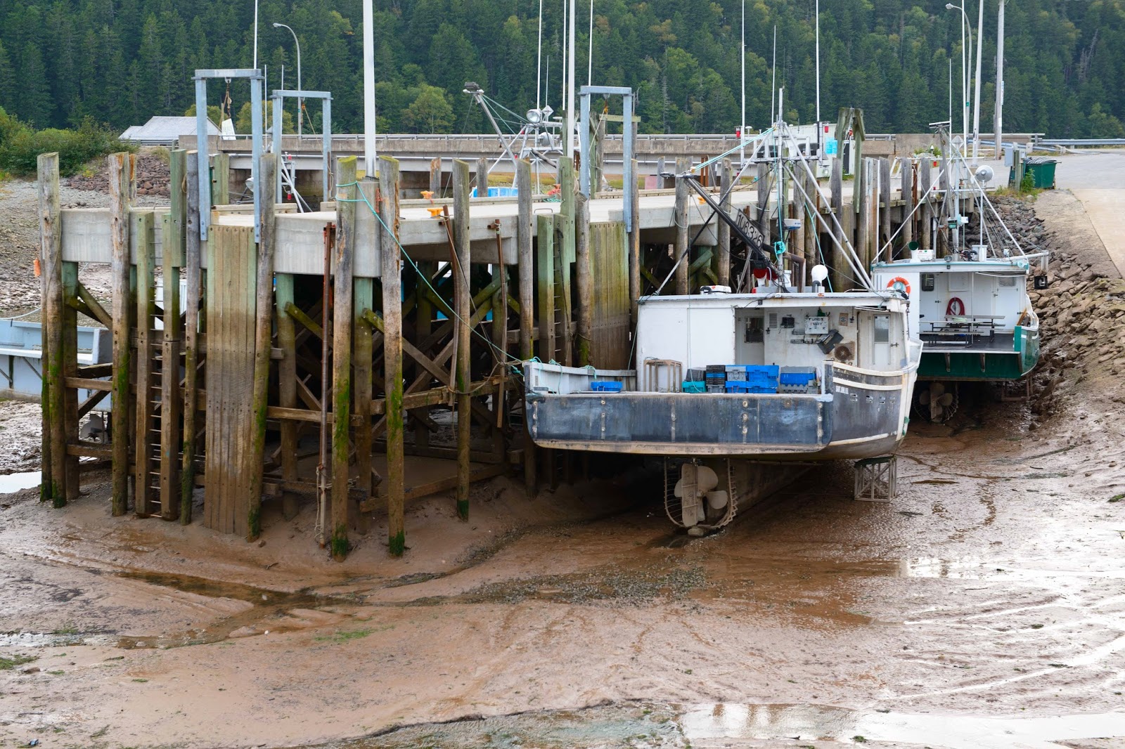
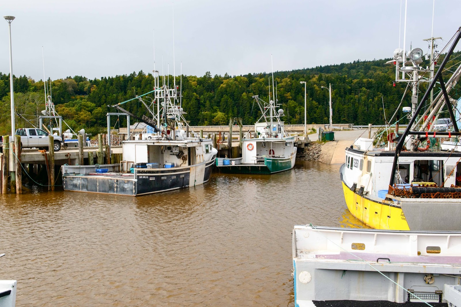
Notice how far below the dock these boats are and that they must be supported anew EVERY day.
These fishermen have a FOUR hour window to do their work.

Notice the poles at the edge of the water.

See the poles?


This is just an amazing thing to watch – and quite fascinating!!  More of this to come at our next spot in St. Andrews by-the-Sea.
Totally amazed E & G from the Fundy Coast (where we can see Maine across the channel!)

OMG – What a place!!

Well!  The time has come to turn around and head west.  As Magic left Cape Breton and headed to Halifax, the realization hit that we had just left the most eastern (and we believe northern) point of our journey.  Which means – we are now headed home after 4 months on the road;-)
When we began planning this trip – to ultimately arrive in Nova Scotia – everyone we talked to said to be sure to go to Peggy’s Cove just west of Halifax.  G did a great job of vetting a camping spot at Peggy’s Cove and the below is the result – – 

Magic’s Parking spot at Peggy’s Cove – WHAT A VIEW!!

The view from our ‘living room’ window.

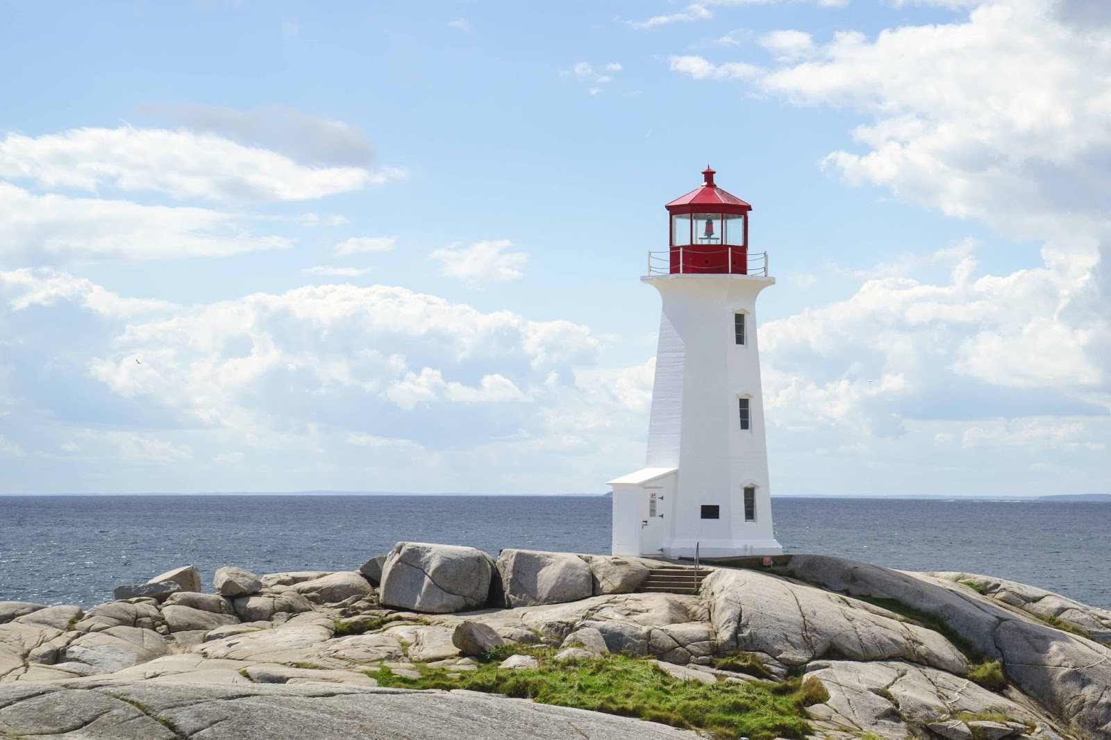
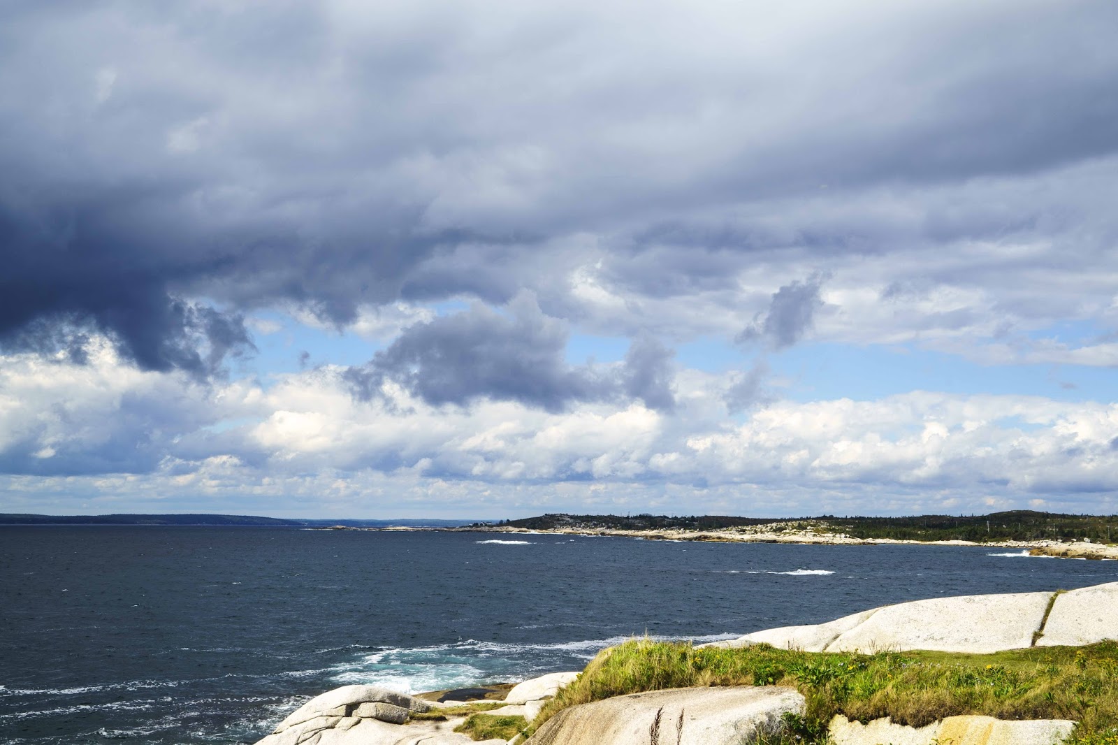
Just around the corner from our parking spot – perched atop massive granite worn smooth by the pounding waves below – is the world famous and picturesque lighthouse beacon at Peggy’s Cove, which has been guiding sailors and fishermen home since 1868!!

The famous Peggy’s Cove light house.  It must be famous as there was tour bus after tour bus
dropping of passengers to take a look.

The view from the lighthouse in the direction of our campground at the end of the point.

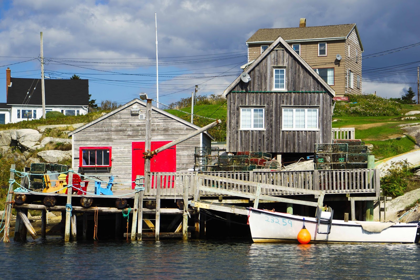
The little village around the lighthouse was so very picturesque – the pictures speak for themselves —

Gary really did a good job on those – don’t you think?!?!?

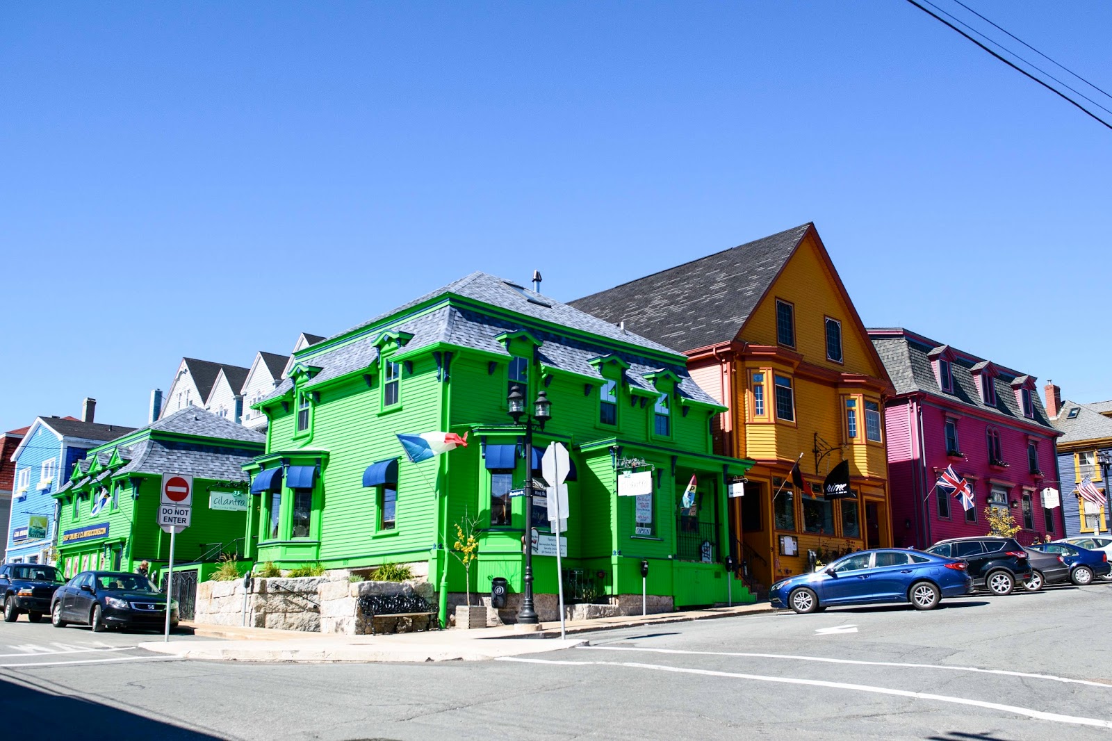
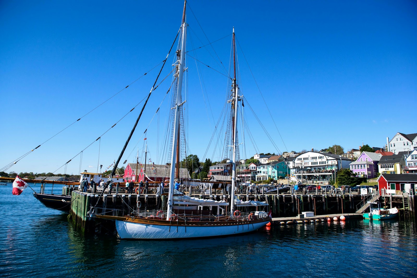
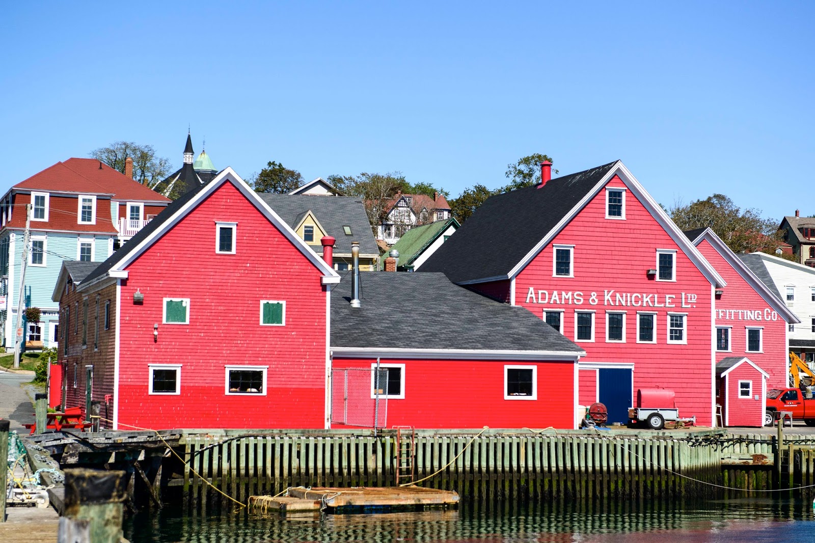
The South Shore (the coastal area extending west from Halifax) is one quaint village after another.  Perhaps the most well known (or celebrated) is that of Lunenburg, which is a UNESCO World Heritage Site.  Established in 1753, Old Town Lunenburg is the best surviving example of a British planned colonial settlement in North America.  Its colorful waterfront, narrow streets, captivating architecture and seafaring history make it a real adventure not to be missed.  Again – the pictures tell the story –

The colorful architecture on its narrow streets.

Views of the Lunenberg Harbor.

And then there is the center piece – Halifax.  Full of history and connections to many events we have all learned about but may not know the Halifax connection.  The Maritime Museum of the Atlantic is a good place to start to (re)learn history.  As those rebels in the colonies broke ties from the mother country England, both England and France tried to advance or protect interests via the Maritimes/Nova Scotia – and Halifax was the hub of this activity.  First it was the French in the late 1600’s to the mid-1700’s.  Then the British came in to take over until the mid-1800’s (when Canada became its own ‘country’).  There is much sea-faring history from this port that took place through all those years.

Then – in 1912 Halifax played a major role at the time of the sinking of the Titanic.  The maiden voyage of RMS Titanic began in Southampton, England on April 10, 1912 – made several stops – and was to arrive in New York on the 17th with 2,200 passengers.  On Sunday, April 14 at 11:40pm, the Titanic struck an iceberg and by 2:20am on April 15, the “unsinkable ship” was gone.  The grim task of recovering victims was given to four Canadian vessels, which originated from Halifax as it was the closest city to the tragedy.  The bodies that were found were either buried at sea, shipped by train to their families or buried in three Halifax cemeteries.

A short five years later, Halifax endured the largest man-made explosion before the atomic age with the 1917 Halifax Explosion.  A French freighter packed to the gills with explosives entered the harbor to join a convoy to cross the Atlantic.  On its way in, it ‘clipped’ another ship and caught fire.  Within a short period of time it exploded – eliminating the shoreside villages killing over 2,000 people.

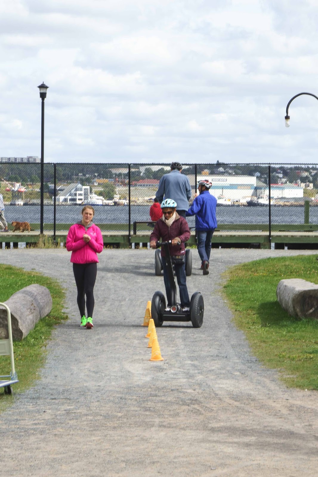
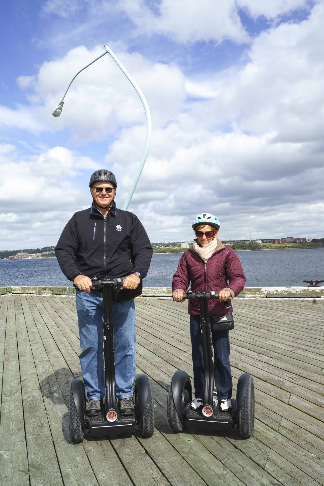
All of this and much more is to be learned at the Maritime Museum.  And – this is just the beginning as there is also the Halifax Citadel, The Public Gardens, Art Galleries and many other historic spots that we could not get to in the allotted time.  HOWEVER – the spots we did see were made possible because of the Segway Tour we did!!  What FUN – — –

Touring Halifax via Segway.  First – a QUICK training course.

The city below from the Citadel
The harbor.

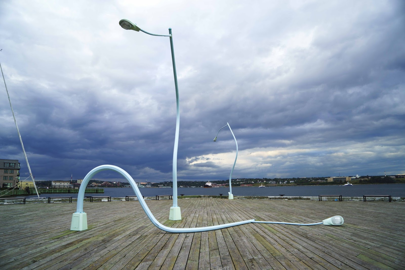
There is a story here – Can you get it??

More harbor.

As always – the time goes MUCH too fast and we are on our way again.  And so – the sun sets on our little spot here in Peggy’s Cove —

The sunsets from our spot were beautiful.  The lens doesn’t do them justice.

Once again we are on our way.  Next stop is the Bay of Fundy and those amazing tides;-)

Our next posting will be from Hopewell Rocks if we don’t get washed away with the sea –

Elizabeth and Gary – newly trained Segway aficionados;-)

Is the CA for Canada or California – ‘Cause I think we just drove HWY 1

Another week and another beautiful setting.  Beginning to wonder if we are getting too used to the sights – as starting to think this is normal!
The beginning of this week brought Cape Breton, Nova Scotia – specifically Baddeck (ba – DECK) on Bras d’Or Lake (bra – DOOR).  More bays, lighthouses, boats and perfect scenery – except for the lack of fall colors;-(

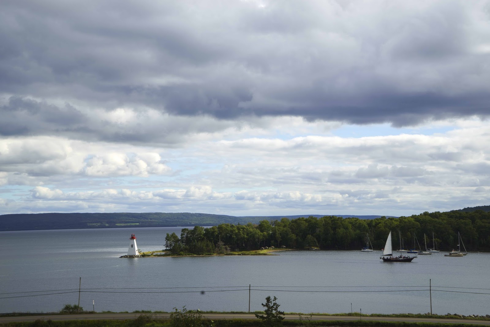
Baddeck Bay on Bra d’Or Lake – near our campground.

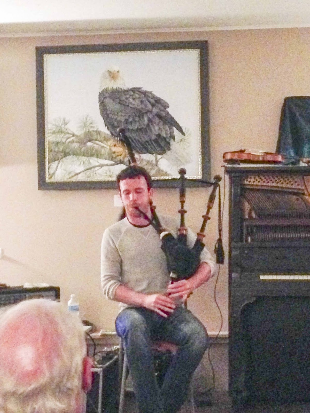
Not a minute to be lost after arrival – The Baddeck Ceilidh (KAY – lee) started at 7:30.  This is a ‘gathering’ of friends – and in this case included traditional Celtic music with bagpipes, dances, lots of information and snacks.  What a way to get into the spirit of the area.
An evening gathering for music and story telling.. a Ceilidh in Gaelic

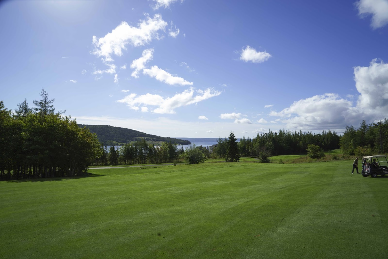
More golf – today the Bell Bay GC with more beautiful scenery to take our minds off the golf —

Nice view from the Bell Bay Golf Course.

Can you guess why it is Bell Bay??  You may not know, but Alexander Graham Bell bought a house on the point you can see in the background and created several of his many inventions here.  We all know him for the telephone (in a form no longer used by most!!) – but, he was quite prolific!  He invented a plane that was the first to fly in Canada – on the very lake you see above (in the winter when it was ice) and a hydrofoil, which was also tested on the lake above.  Perhaps the most astounding accomplishment (besides the telephone) was the creation of a method to ‘communicate’ with the deaf.  Through this he became a good friend of Helen Keller – and one of his deaf pupils became his wife.  All of this we learned as we toured the Alexander Graham Bell museum located here in Baddeck.  

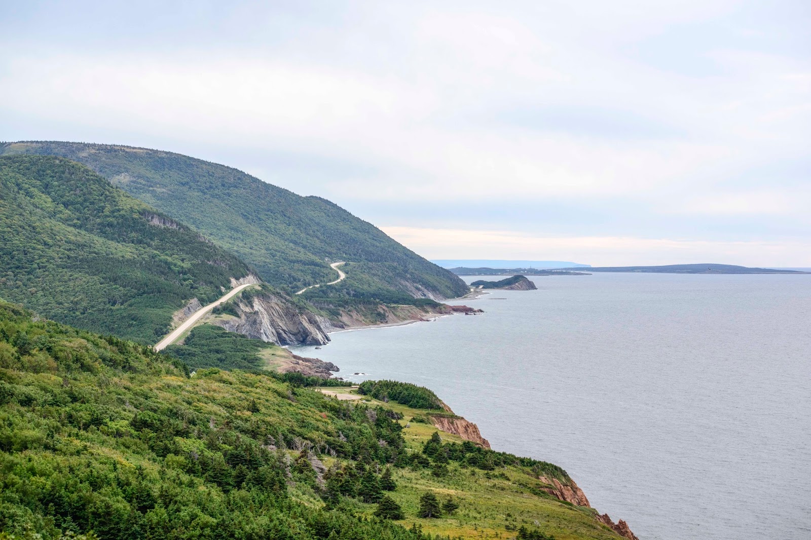
Then – the BIG event for the area.  The Cabot Trail drive around Cape Breton Highlands NP and Top of the Island.  The bodies of water viewed included the Atlantic Ocean and the Gulf of St. Lawrence.  Really reminded us of Highway 1 in California – thus the title of this post.  Hikes, whale watching and taking pictures are prescribed activities – so will let the pictures provide the story —

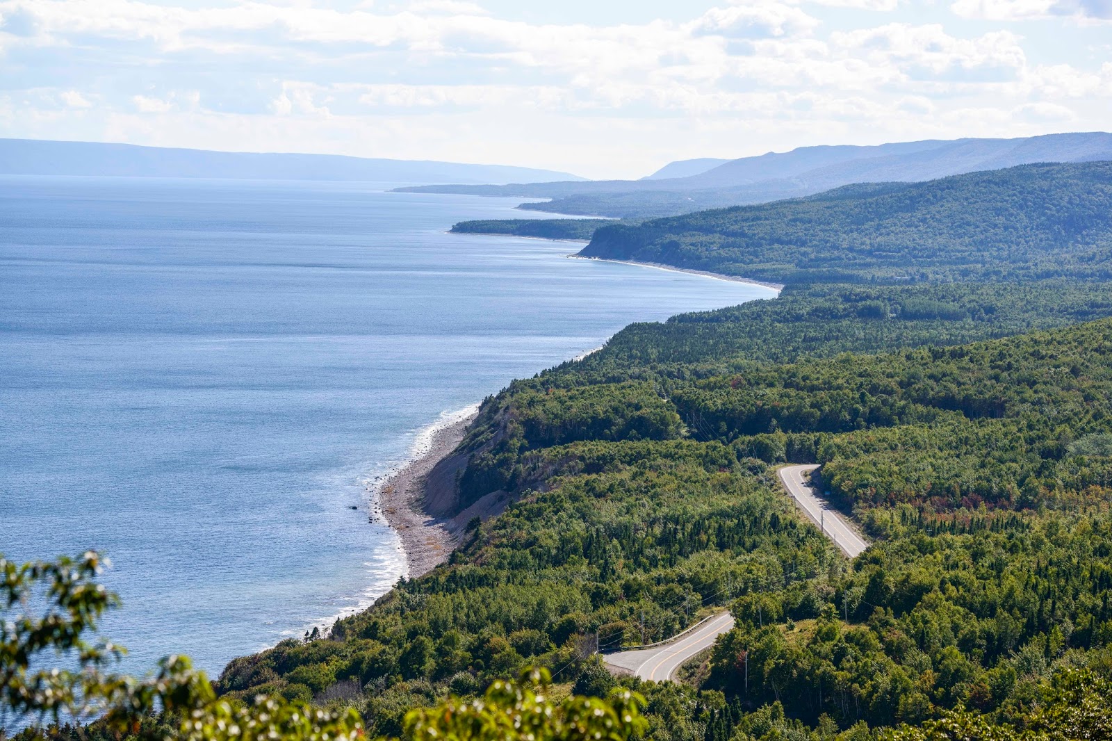
The western side of the Cabot Trail above the Gulf of St. Lawrence.  Doesn’t it look like Highway 1 in California??

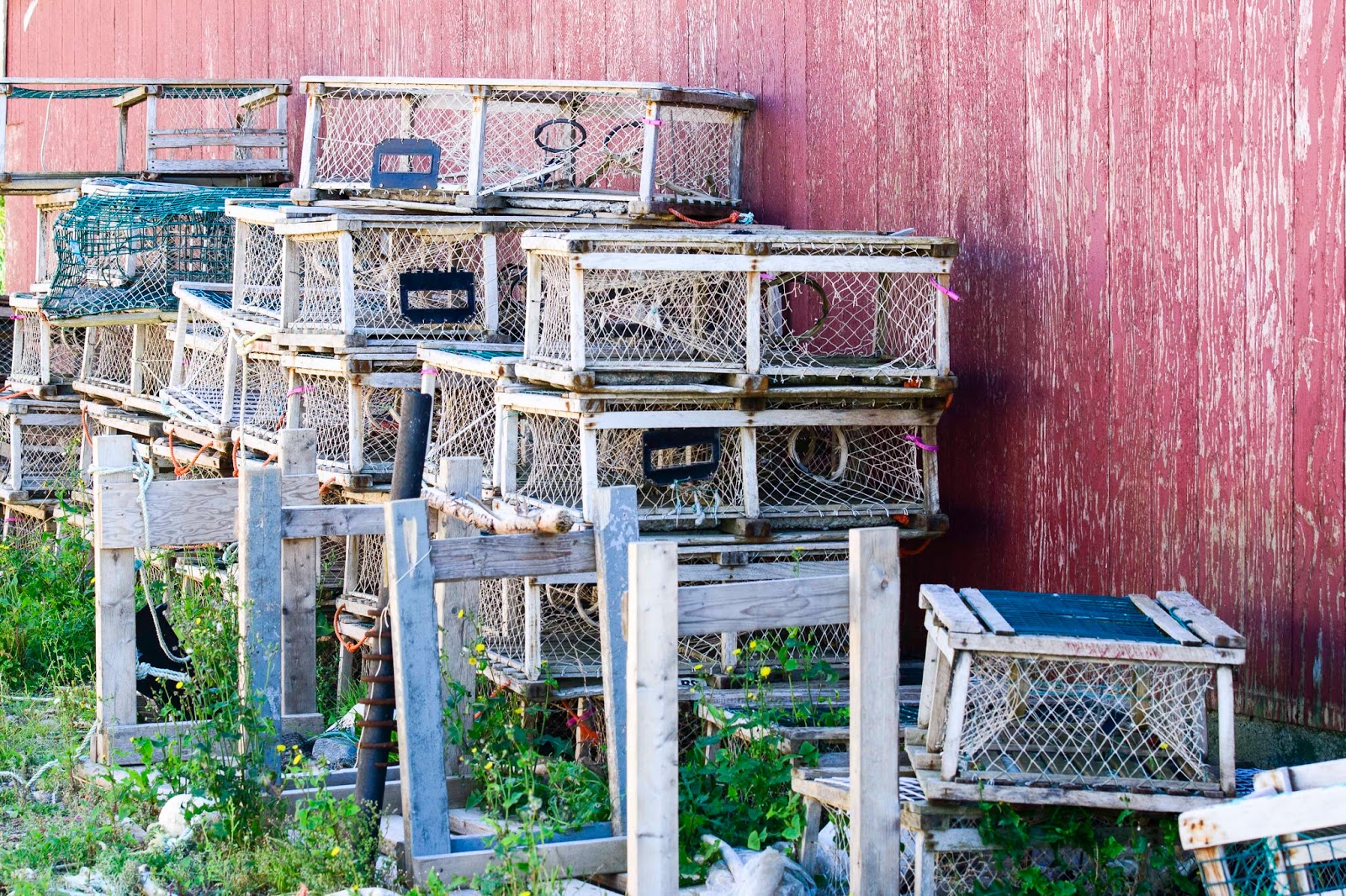
Lobster traps waiting to be put to work.

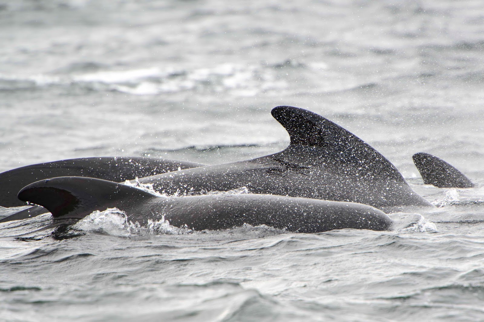
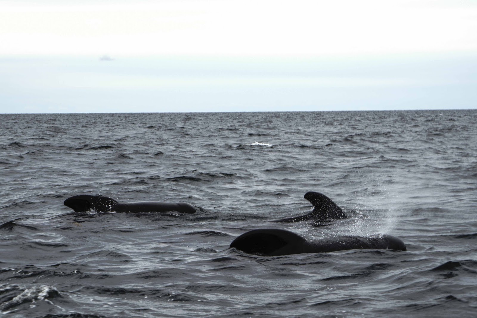
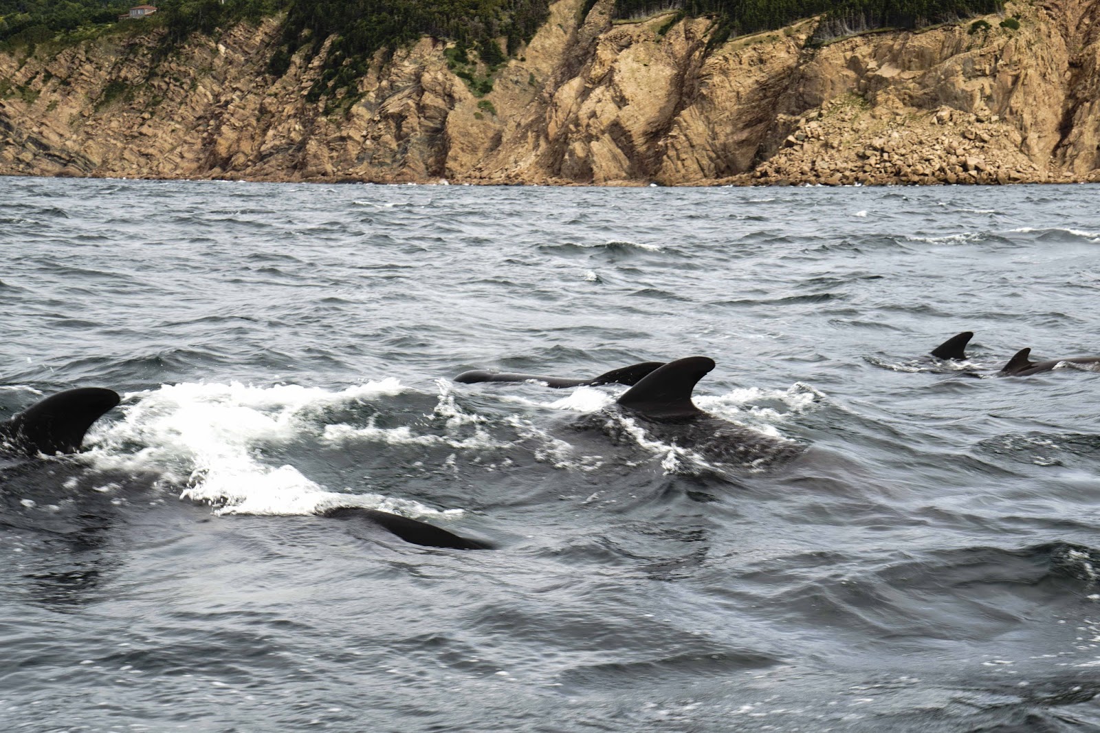
A pod of pilot whales hanging out near our whale watching boat.

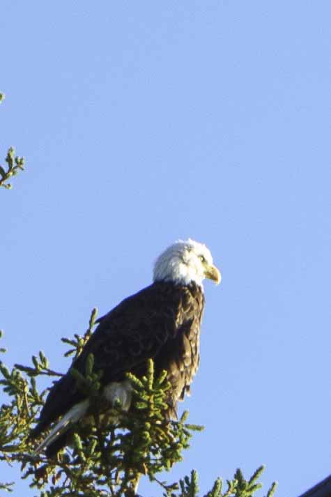
Early morning eagle along the roadside.

An eastern section of the Cabot Trail above the Atlantic – see any fall colors????

Then there was one more day of golf here on a top 100 in the world course!!  An interesting course with more gorgeous views –

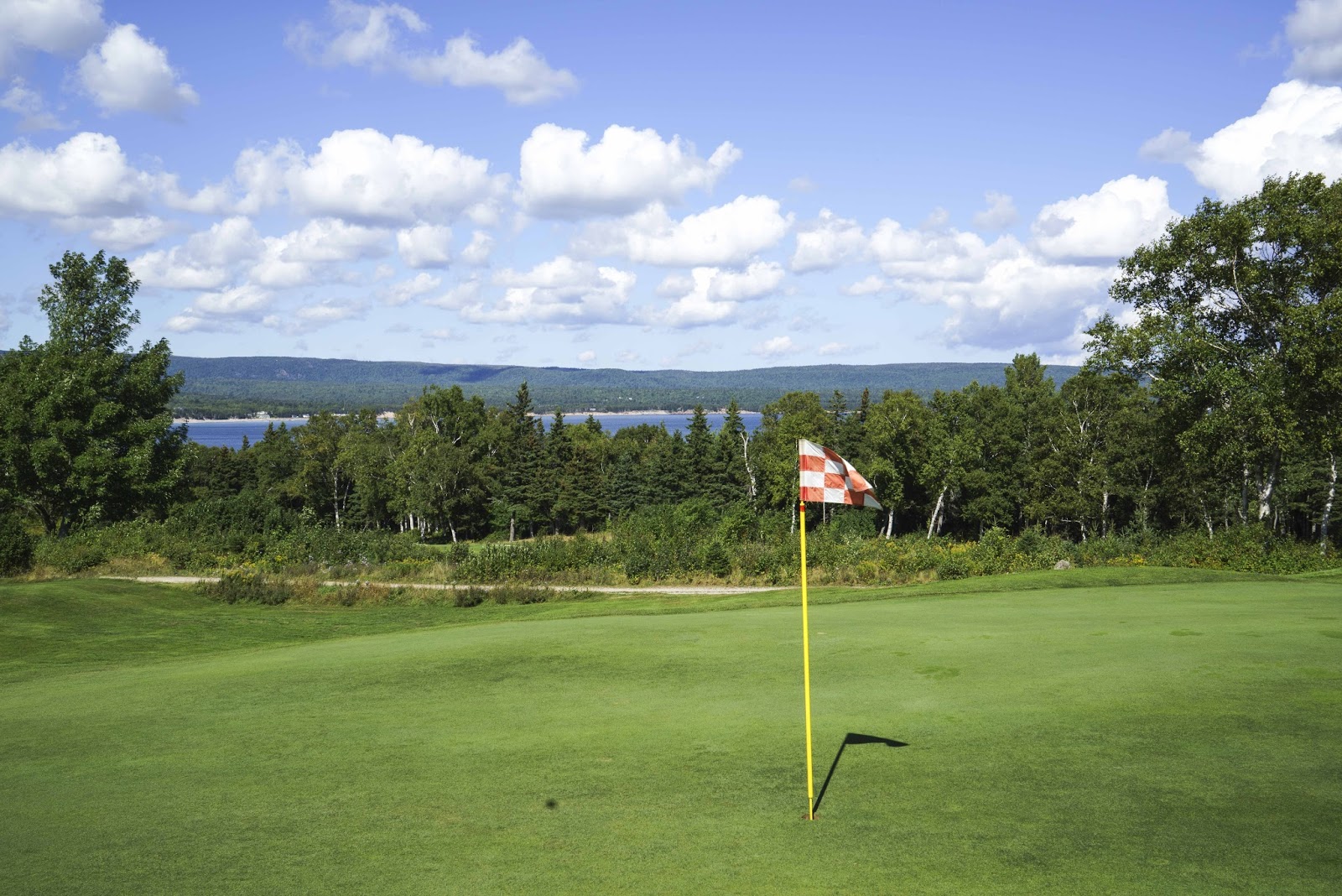
The Highland Links course was much the challenge, but had some really nice settings.

Seems like this has been a very short few days, but time to move on again.  Tomorrow the destination is Peggy’s Cove near Halifax, NS.

See you there – E & G

Prince Edward Island (PEI) – Enough Said;-)

Boy – were we excited to be back in the land of English.  AND – to be in The Maritimes (PEI, Cape Breton, Nova Scotia & New Brunswick), which was the major objective of this trip.  First stop – Prince Edward Island (PEI).
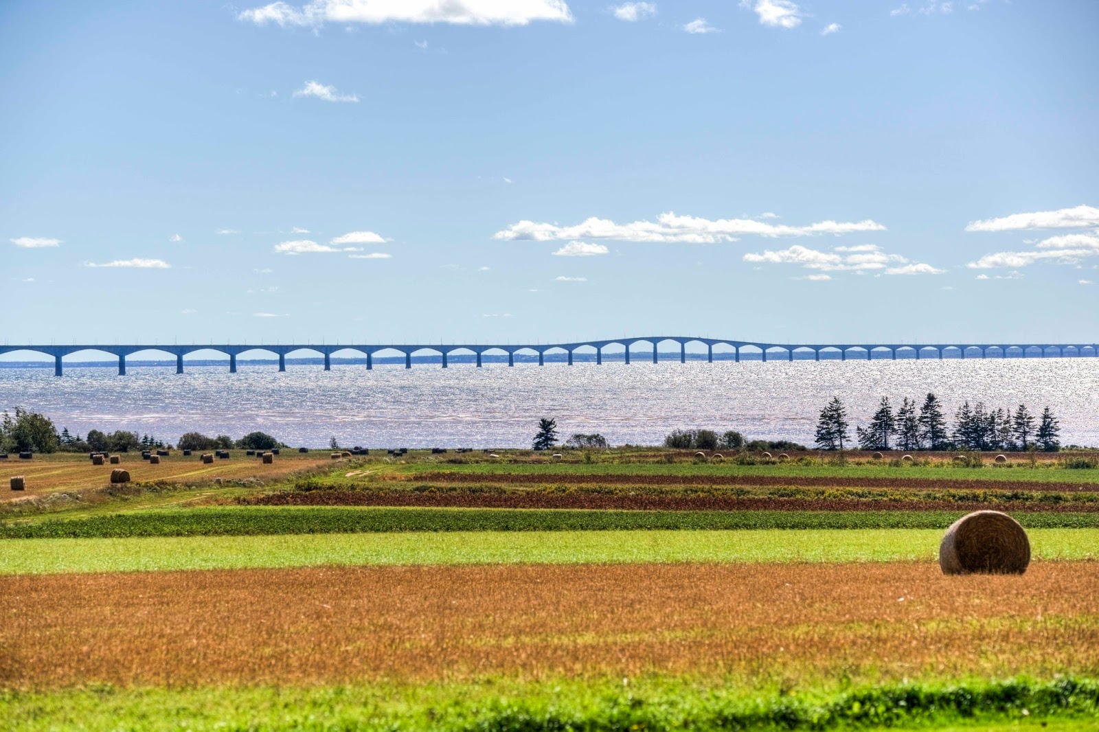
Only two ways to get to the island – ferry or the Confederation Bridge!  This time, Magic opted for the bridge – built in 1977 and almost 8 miles in length – to get her over the Northumberland Strait.   
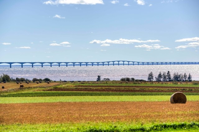
The causeway bridge is the only way to drive to and from PEI.

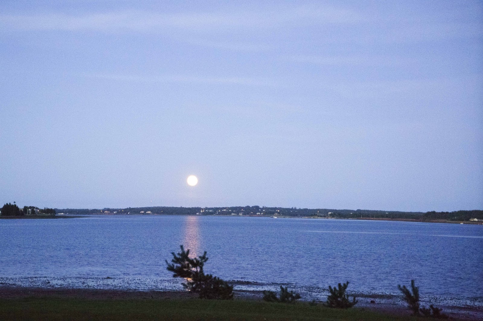
We were all delighted to arrive on the island and find our camping spot!  It had been a VERY long travel day of 10 hours – unusual for us – but, just wanted to get here and relax for an extra day.  And we were sooooo excited to see our ‘home’ for the next several days.  A FULL harvest moon shone down on our spot right on the West River, which feeds the Northumberland Strait;-)
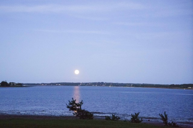
The harvest moon rising shortly after we arrived at our campground. Seems appropriate as the entire island is a checkerboard of farms.  (Taken from our camping spot!)

There is little time to rest when there is so much to see and do.  The KOA Campground was quite near the capital of PEI, Charlottetown.  This year was a “once in a generation celebration” as they marked the 150th anniversary of the Charlottetown Conference.  In 1864 the Fathers of Confederation met at Province House in Charlottetown to discuss the formation of Canada.  And so it began.

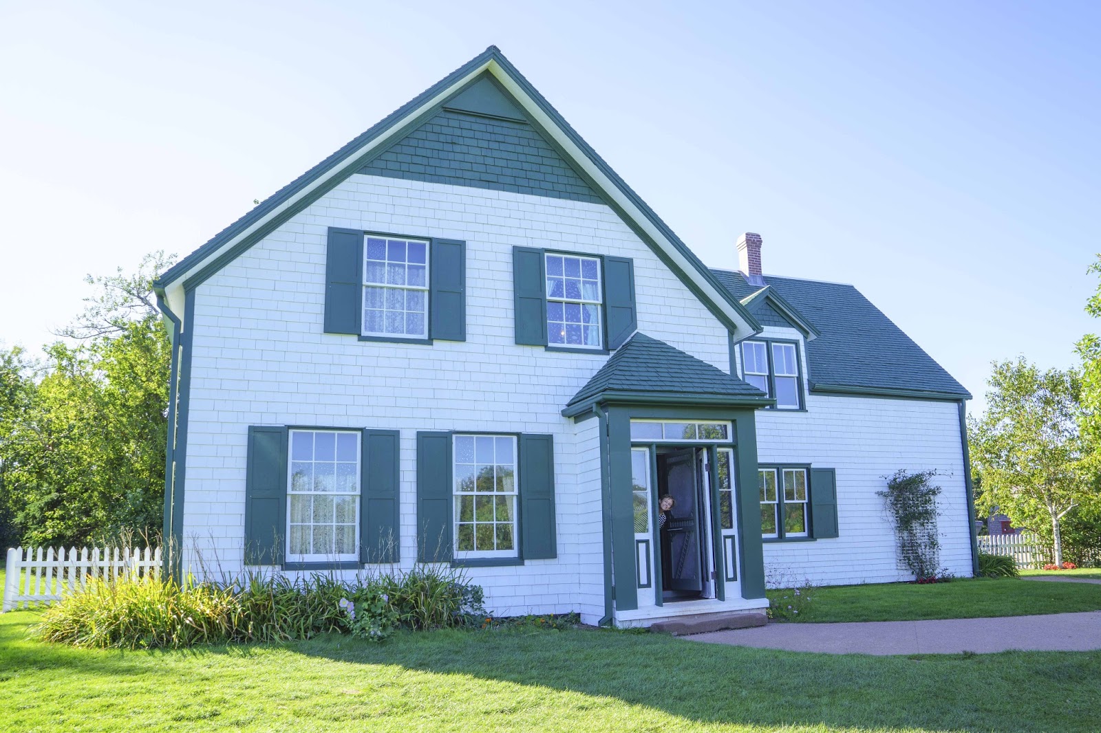
After a nice lunch at the harbor and a walk about town, the Northern Central Coastal Drive was on the agenda – in order to find Green Gables where that little girl named Anne lived.  No imagination needed – it was there for real —–
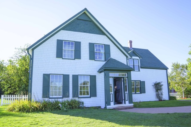
The house that inspired the author of Anne of Green Gables.

Of course Anne was a fictional character.  I know that!!  But, the house was the inspiration for the setting of the book as the author (Lucy Maud Montgomery) spent much of her girlhood here with cousins of her grandfather.  Even the special places she discovered and named such as the Haunted Wood and Lover’s Lane still exist at Green Gables.

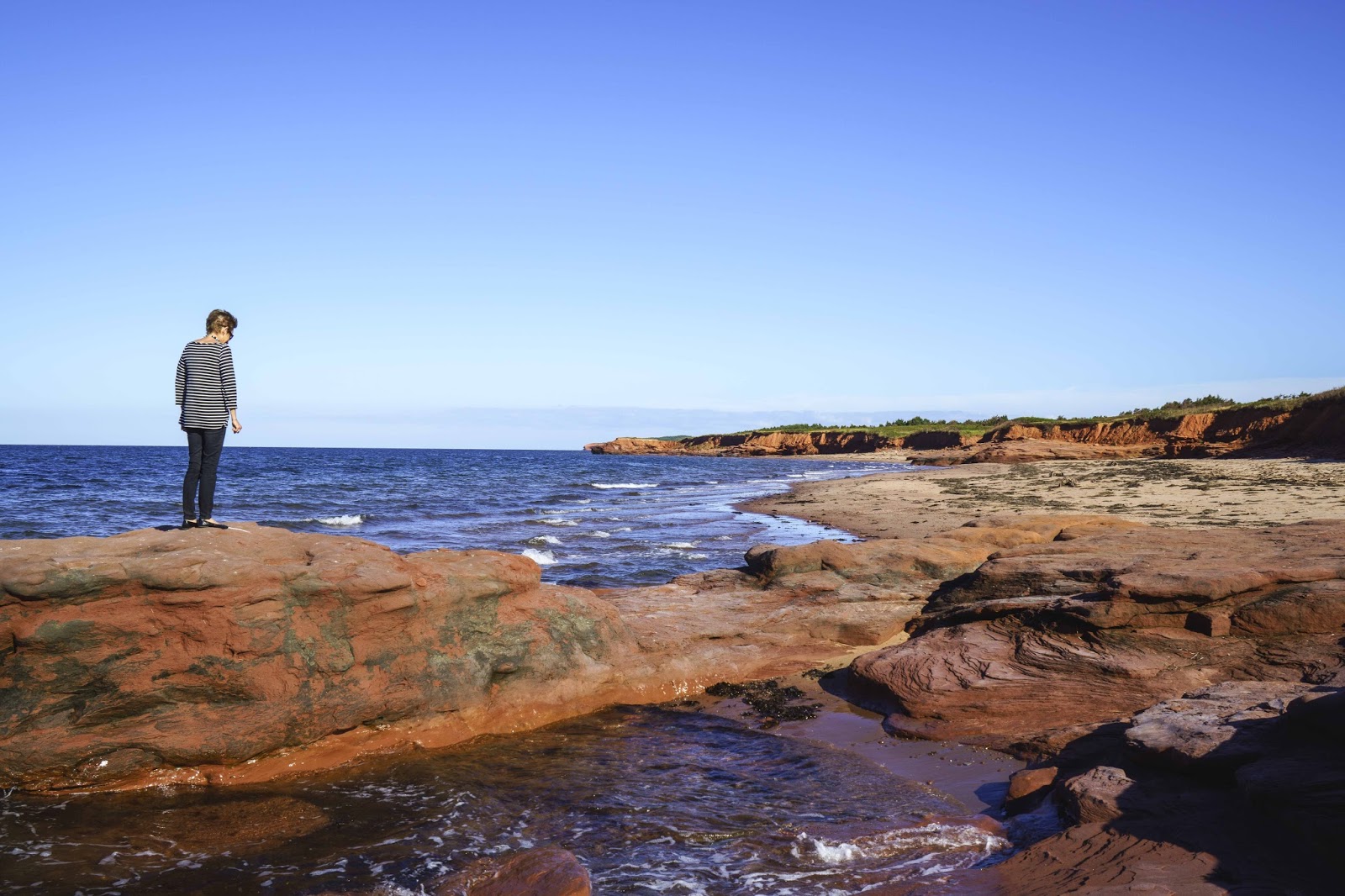
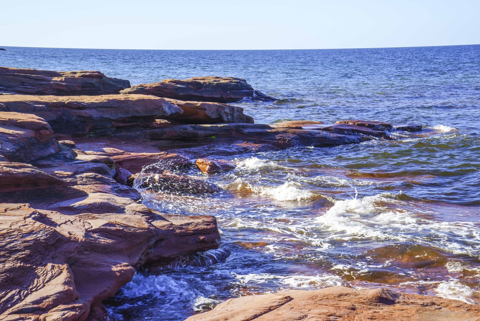
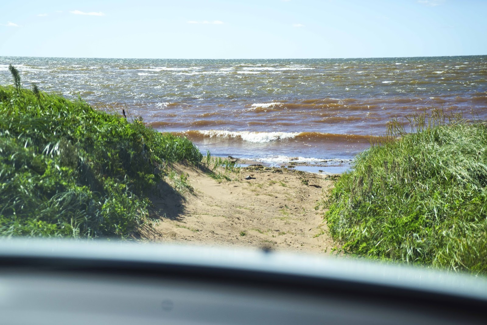
As one drives the Scenic Heritage Drives about the island, you weave through farm lands, over rivers and coves and along the various bodies of water that surround the island.  On the north it is the Gulf of St.  Lawrence – on the south the Northumberland Strait.  When the road strays inland a bit there are always little side roads that lead back to the water.  And, sometimes those side roads present the most wonderful, exciting places and views.  As these tidal pools and red cliffs —
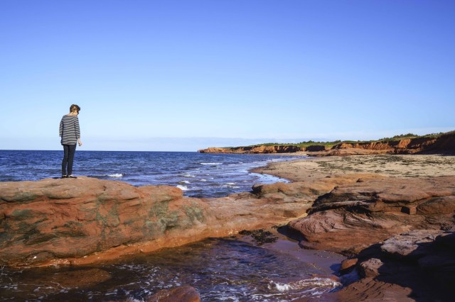
All of PEI seems to be red clay.

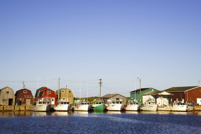
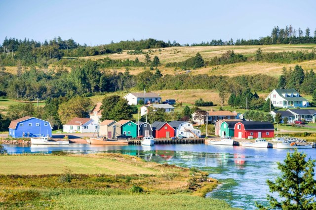
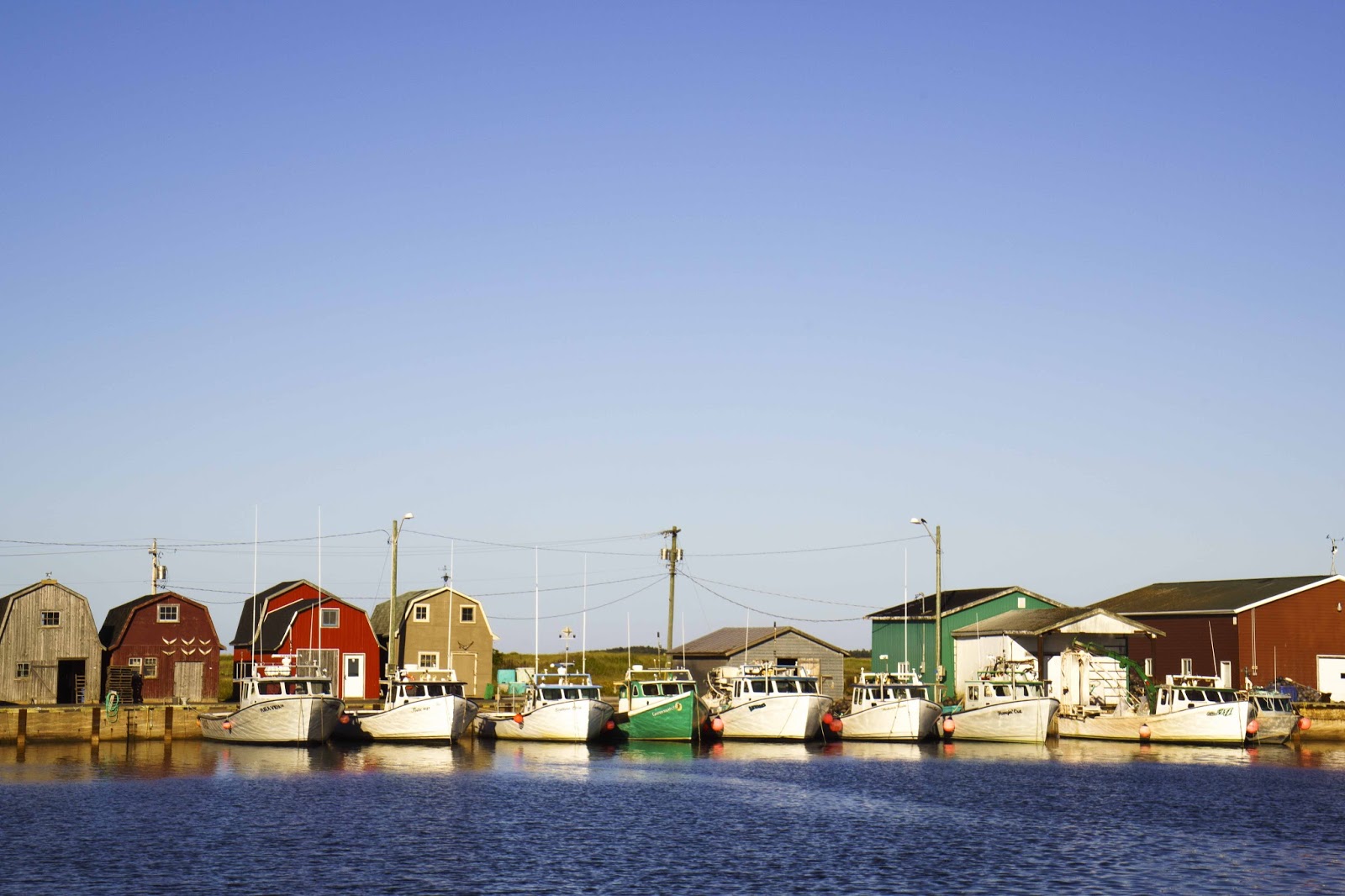
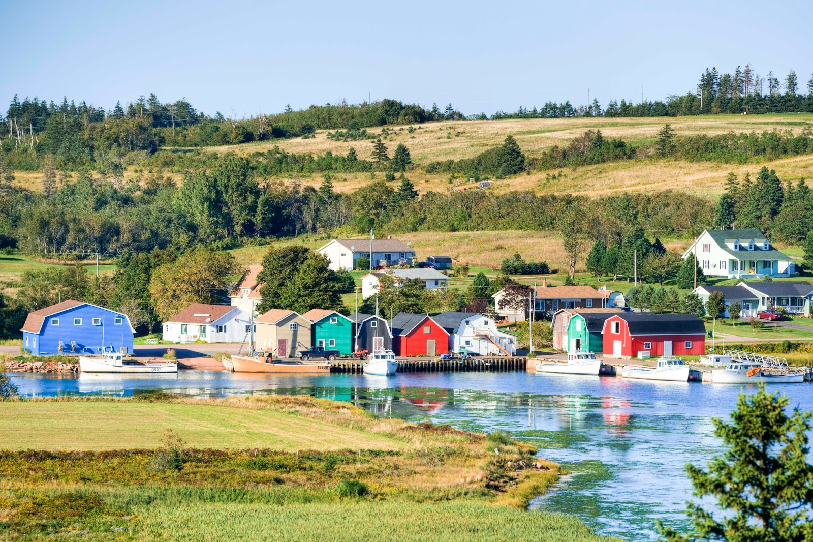
Many fishing villages, like this one…  

…and this one, dot the island’s coastline. .  and coves.  Right up against the farmland.

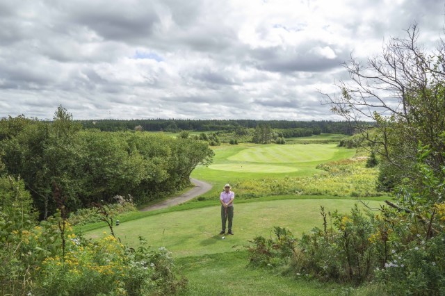
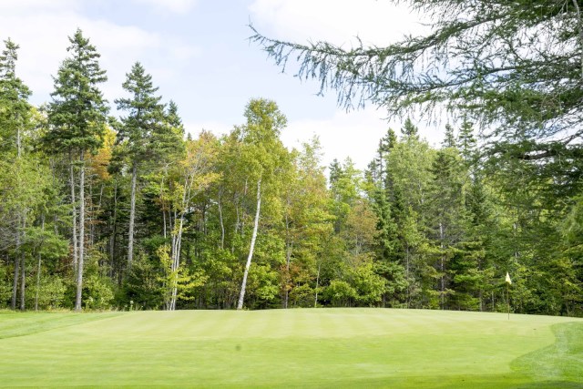
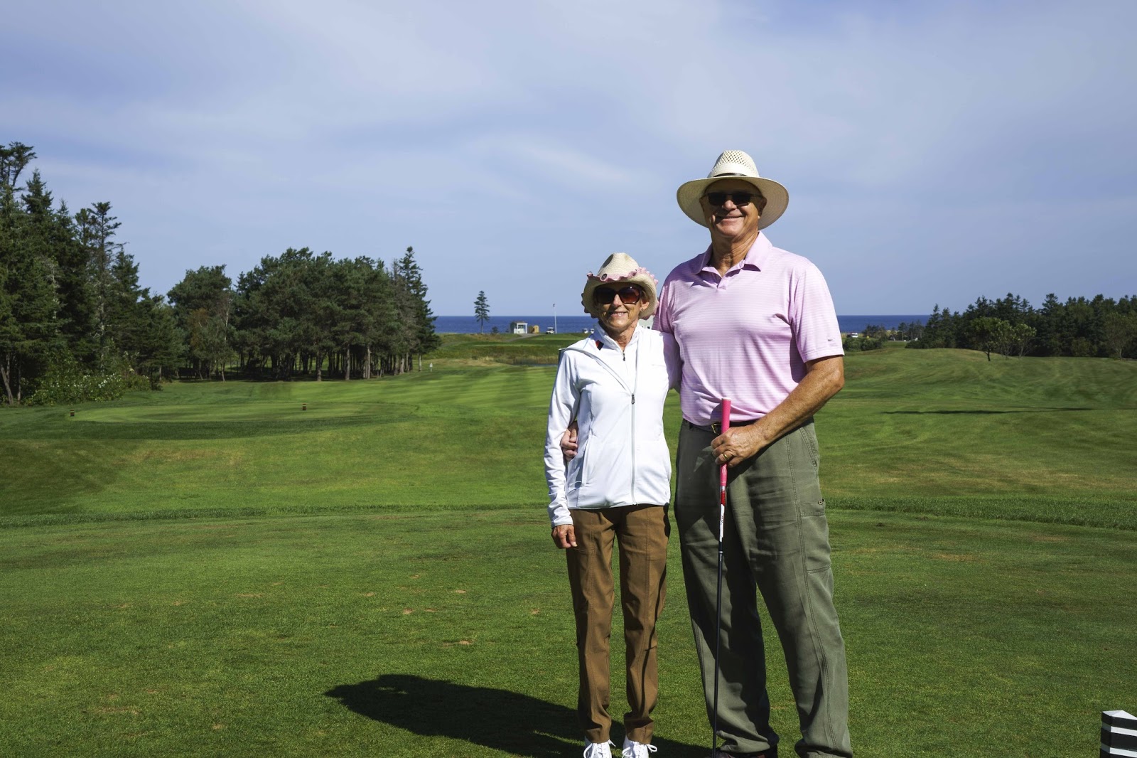
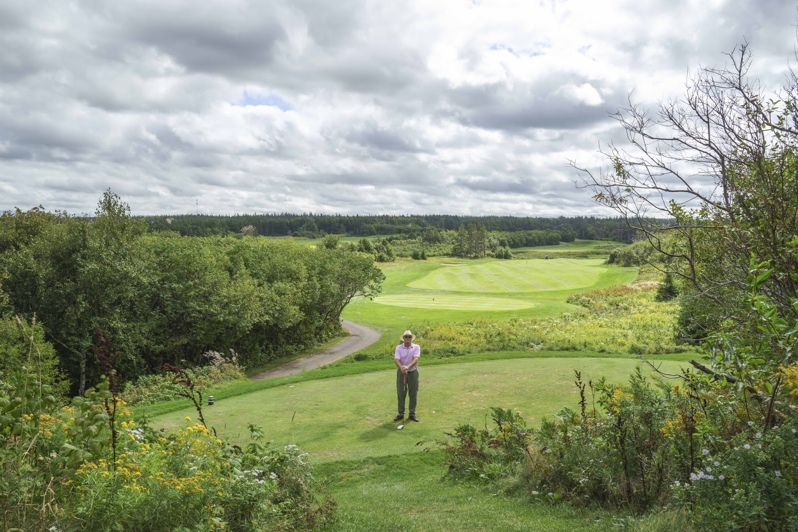
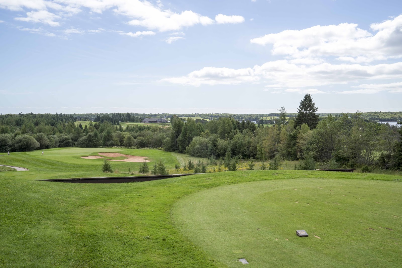
Of course (no pun intended), golf could not be forgotten as there are 20 courses on this little island.  First up – The Links a Crowbush Cove on the north side of the island.
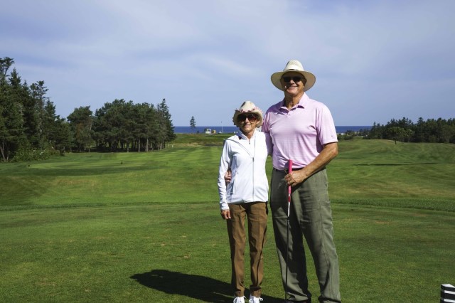
Beautiful golf courses.  Tourism and agriculture are the islands two primary industries.

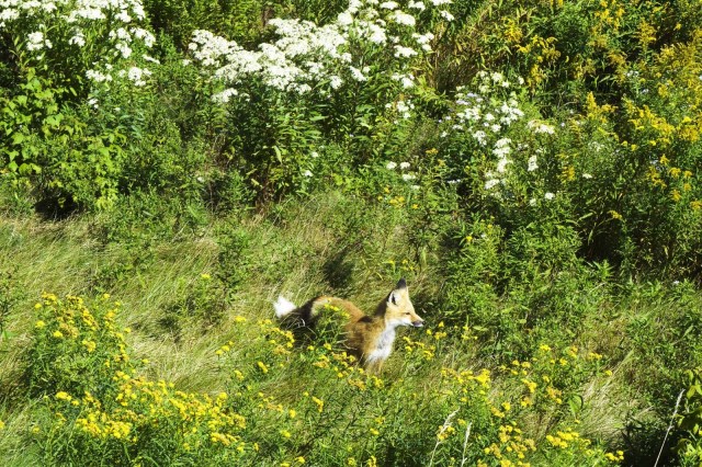
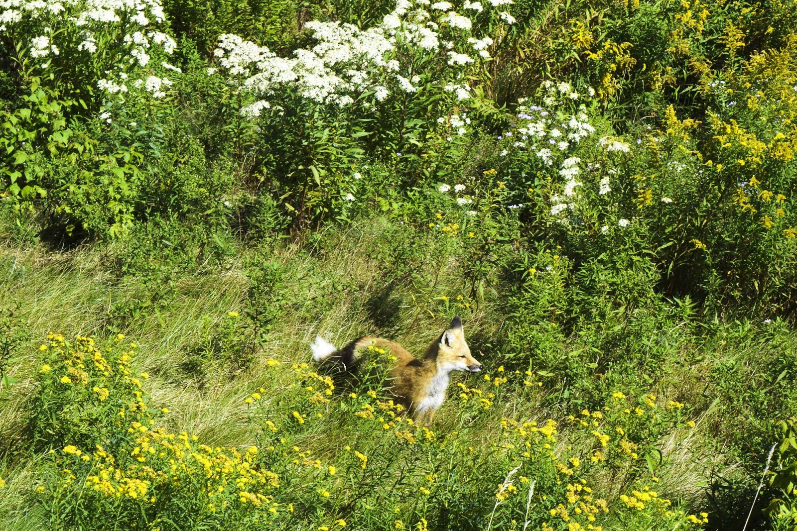
This fox was helping us find G’s errant golf ball.  Aren’t the wildflowers wonderful?

A view from the Crow’s Nest.   Tough course, UGH.  thankfully, tomorrow we will roam the island.

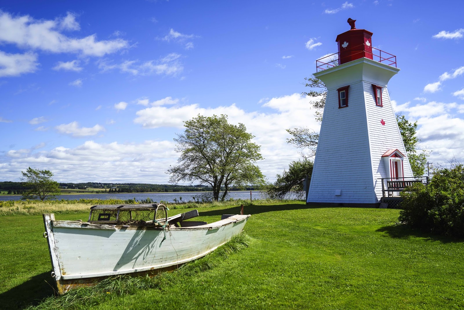
Now it was time to investigate the Southern Coastal Drive, which we started in Victoria-by-the-Sea –a storybook village if ever there was one.  Galleries, studios, restaurants (where E actually ATE mussels) AND a chocolate factory (where E ate lots of chocolate to cover up the mussels!!) line the cozy treed streets.  Although only two blocks long, we spent several hours wandering and enjoying the sights.
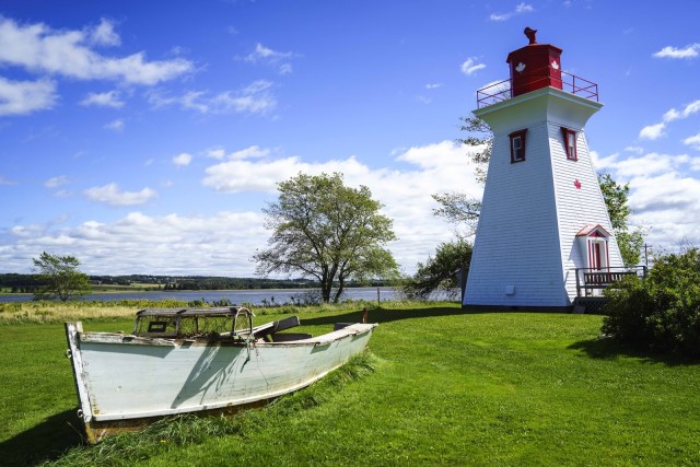
Another fishing village, Victoria, provided great views and a very pleasant cafe for lunch.

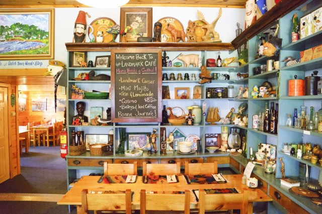
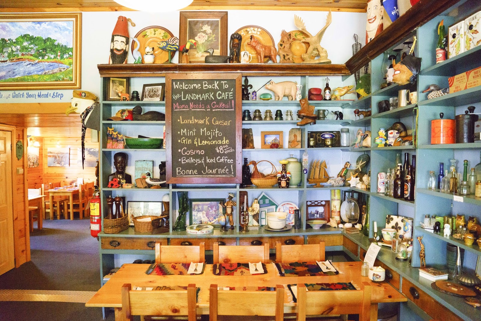
The Landmark Cafe was terrific – family owned.  E even tried the PEI Mussels.

There was still more to the day – and more of the drive.  Remember about the little side roads that will take you to the water and ‘exciting’ sights???  Well this one almost took us into the Gulf!!!
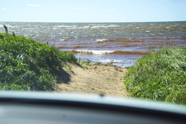
The road morphed into a pathway before we knew what happened.

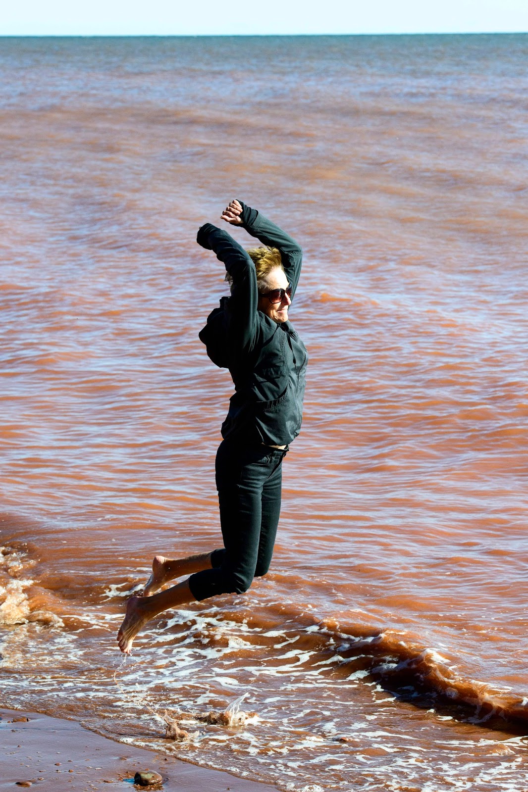
Back to the Argyle Shore and another one of those little side roads that took us to a park with  a VERY steep staircase right to the water.  E was dying to know how cold the water was and couldn’t resist any longer.  Off with the shoes and roll up the pants —
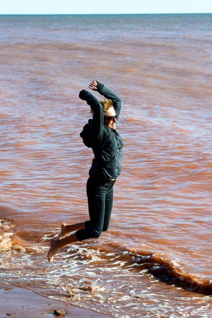
How long can I keep my feet out of the water?

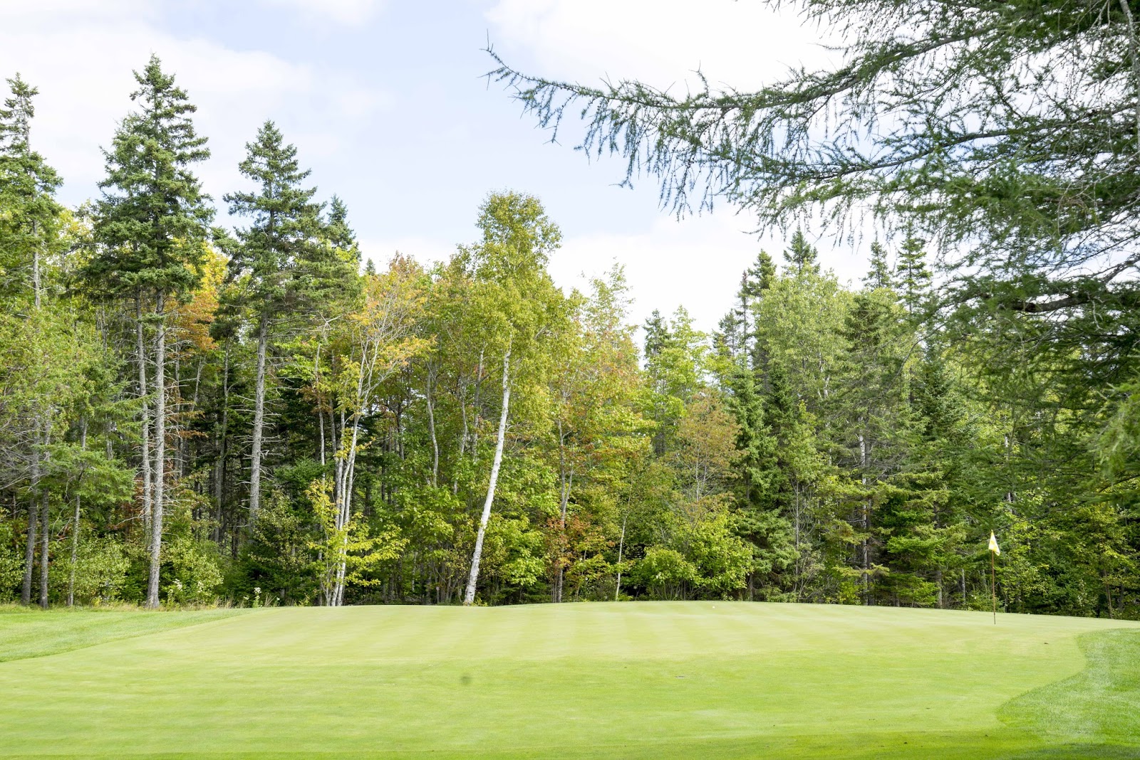
There just aren’t enough days wherever we go and how ever many days we stay.  Only time for one more of those 20 courses.  This time Dundarave Golf Course (a relative of Crowbush) and more beautiful scenery.  The wildflowers were beautiful and plentiful here – as were a few trees beginning to change color;-)
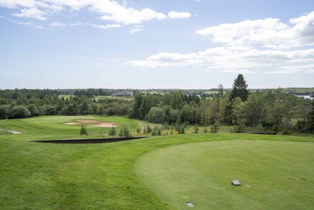
Dunderave Golf Course was a little more forgiving than Crow Bush.

Early evidence that the fall colors are on their way.

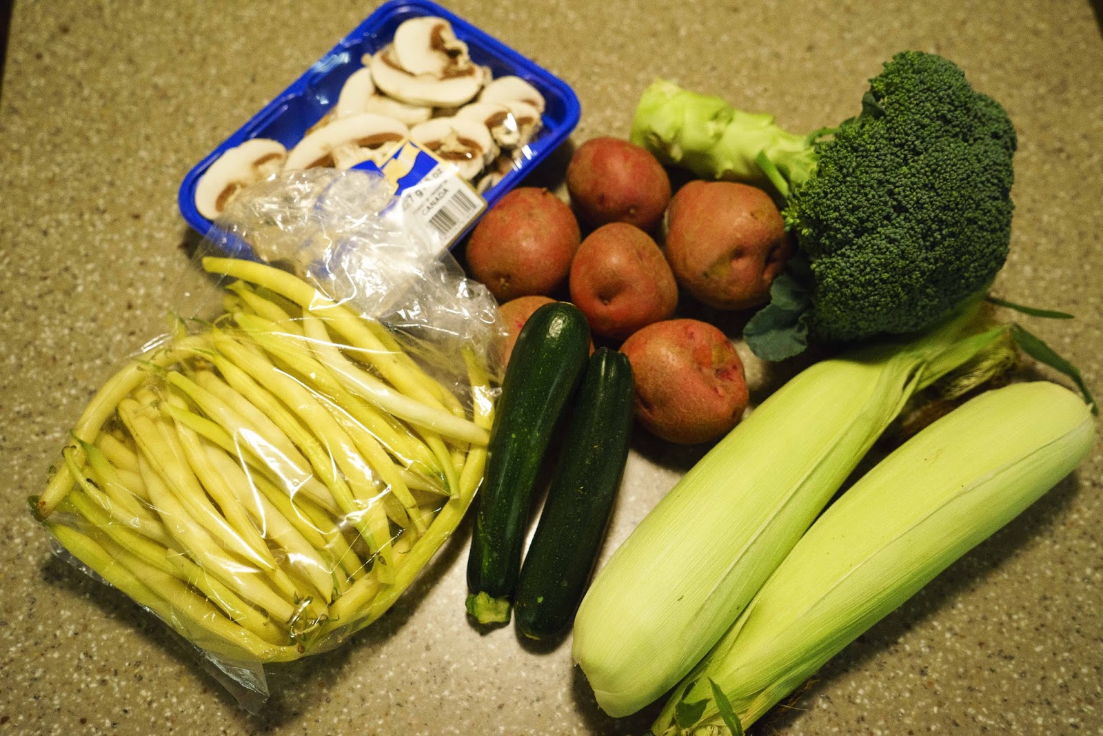
In our travels about the island, we were surprised at how much of the land was given to farming.  Not to be resisted, a stop at a local farmers market yielded dinner additions for several nights.
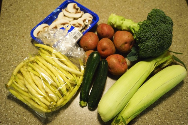
Delicious locally grown vegetables…

And – remember that chocolate shop in Victoria?  Well, E didn’t leave there empty handed.

…and locally made chocolates.

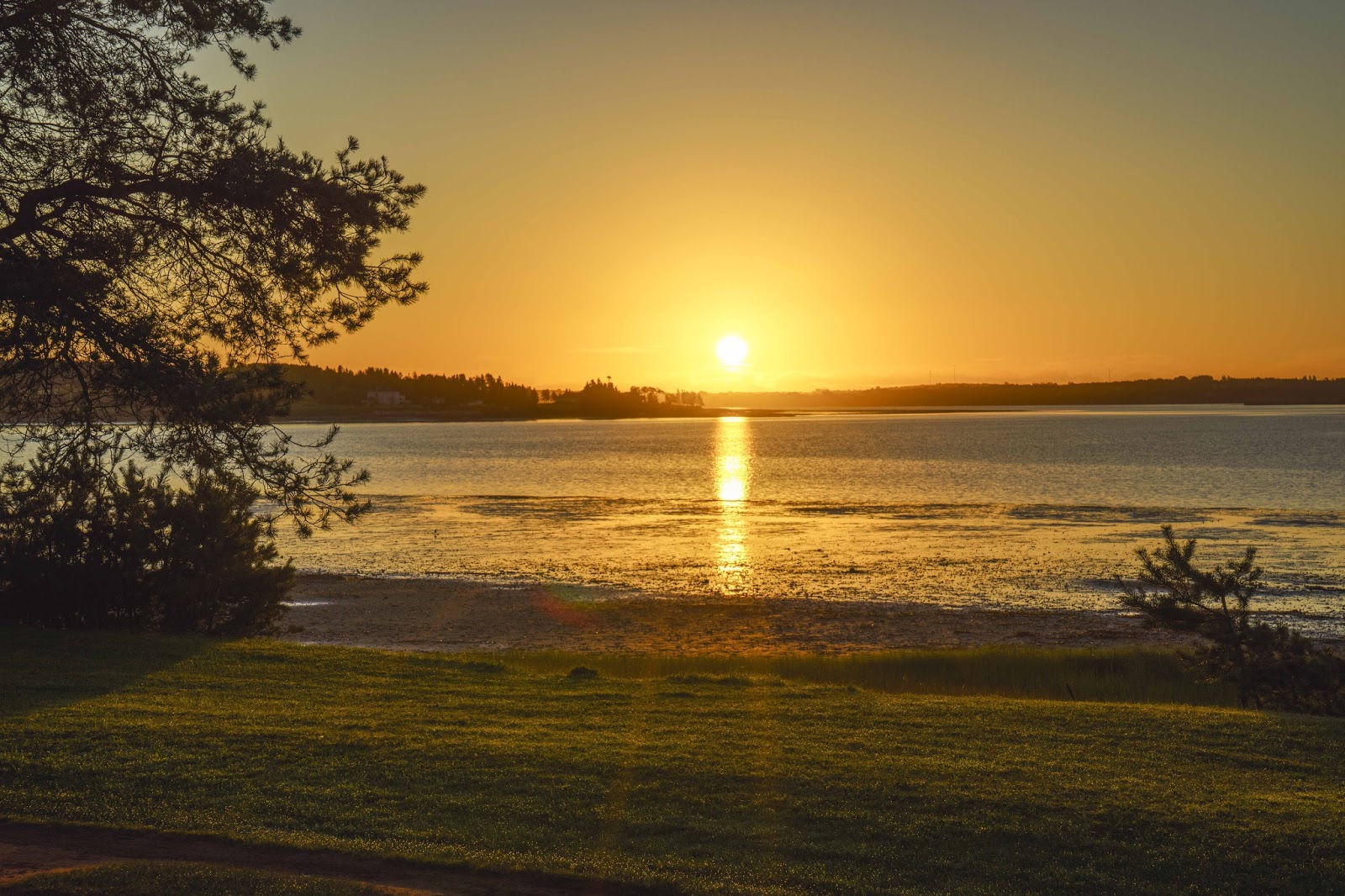
While there are lots of sights unseen, roads not traveled and courses not played – it is time to move on again.  So – the sun sets on our little spot tonight and tomorrow we move on to Cape Breton.
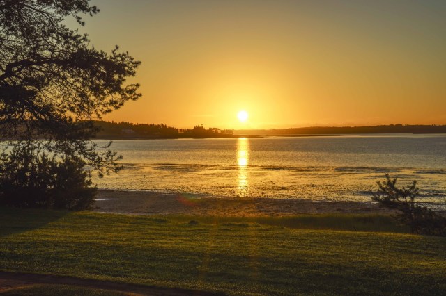
The sun brushes the horizon as our stay on the island comes to a close.

More in a few days if Magic makes it back across that bridge.

E & G from the mystic island

Vieux Quebec (Old Quebec City)

Next stop —France????  I really thought we were headed for Quebec!!  But, the road signs suddenly went to French – conversations converted to French – what the heck is going on??!?!?!
Quebec City is proud of its French and British roots – BUT, mostly proud of its French roots.  Thus – NO ENGLISH SPOKEN.  PERIOD.
The city was founded in 1608 by Samuel de Champlain and is known as the cradle of French civilization in North America.  It celebrates it’s three lives – French, British (taken from the French) and ultimately in 1864 becoming a provence in the Federation of Canada.  It is the only walled city in North America north of Mexico and the old walled city was designated a UNESCO World Heritage Site in 1985.  Therefore, much to be proud of – but clearly, first and foremost, is the French heritage. 
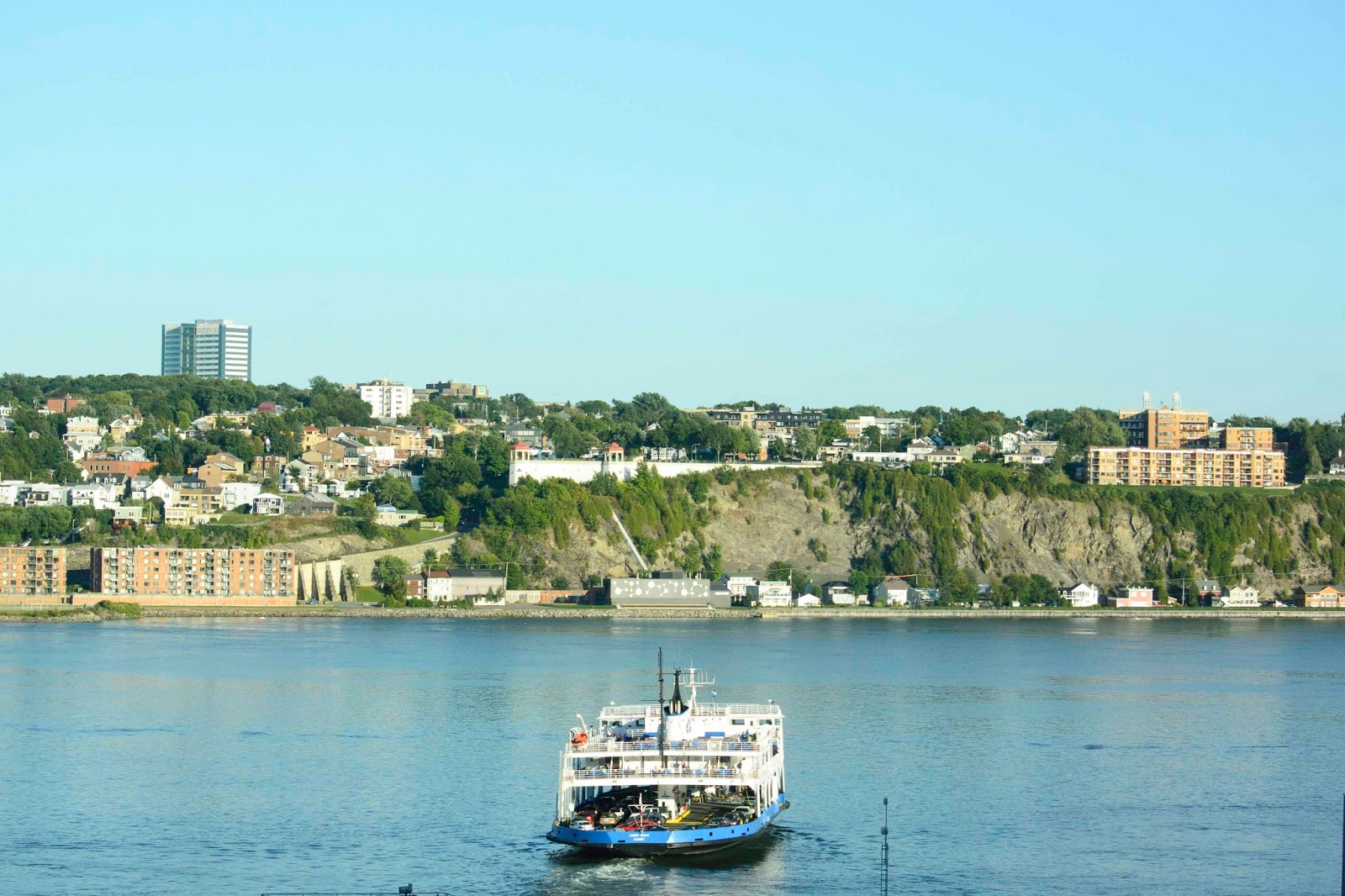
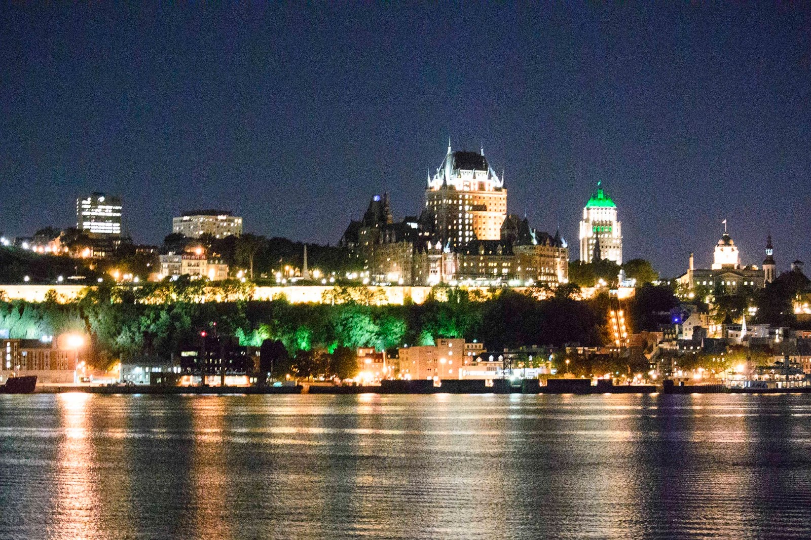
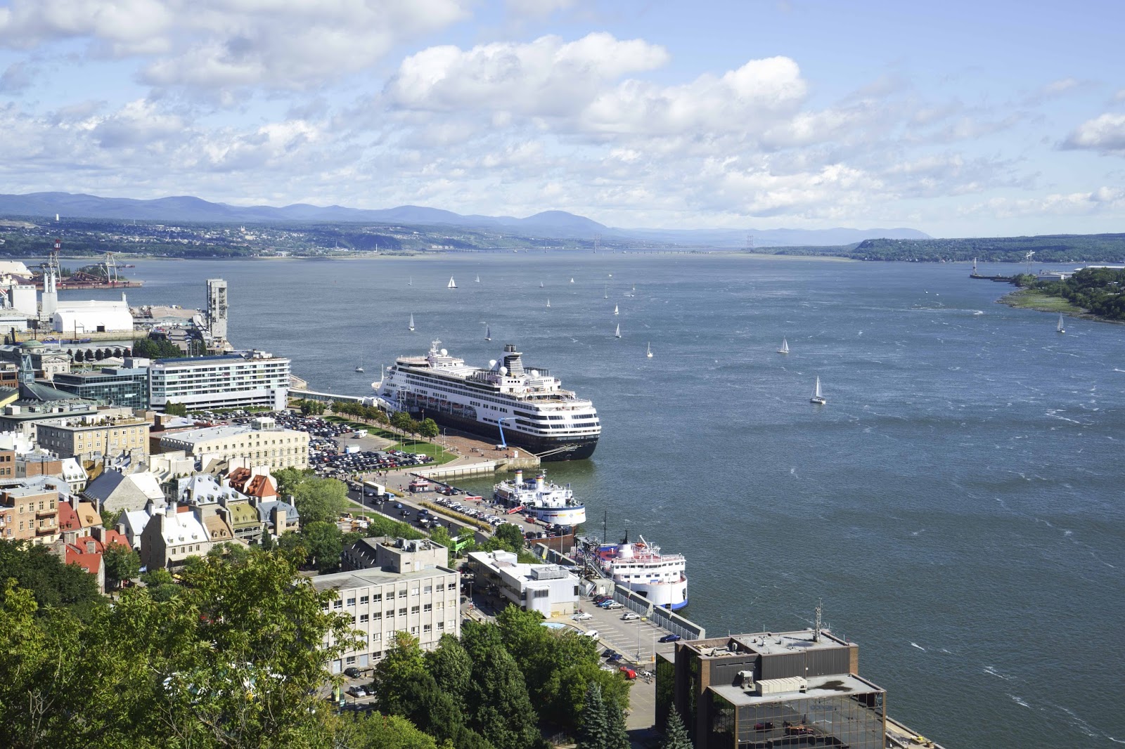
The city sits on the northern banks of the St. Lawrence River, which provides stunning views from the Old City.  We had a perfect parking location for Magic on the southern side of the river – which did mean we took automobiles, ferries and funiculaires to get to the Old City.  But – this also meant we had the perfect views of the city as we approached from the river side —  

Ferry between Levis and Quebec City —

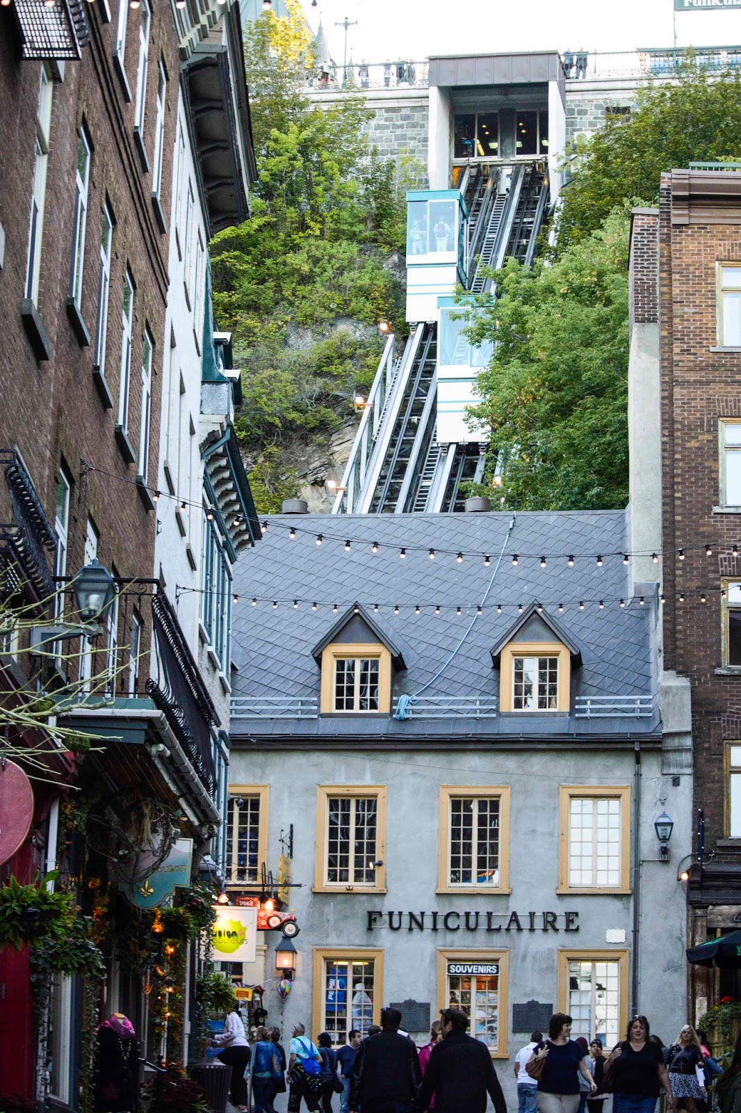
Funiculaire — to the Old City.

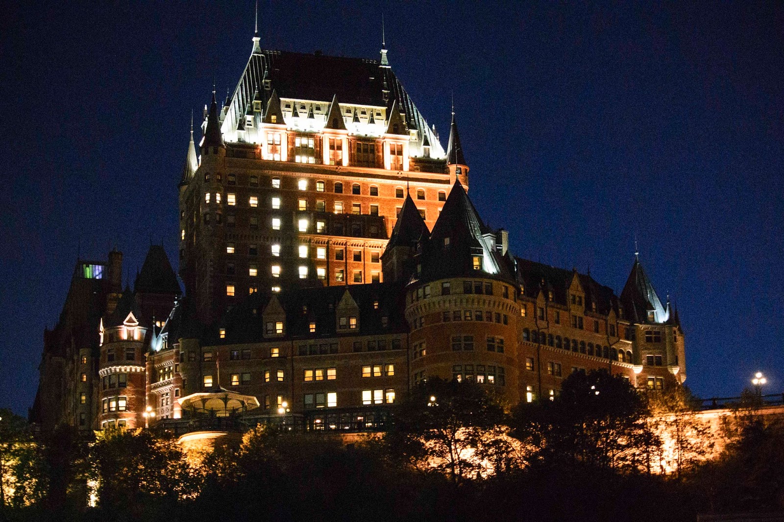
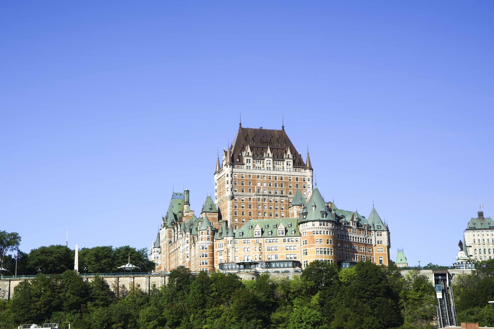
Voila – Old City (Chateau Frontenac, now a Fairmont Hotel)

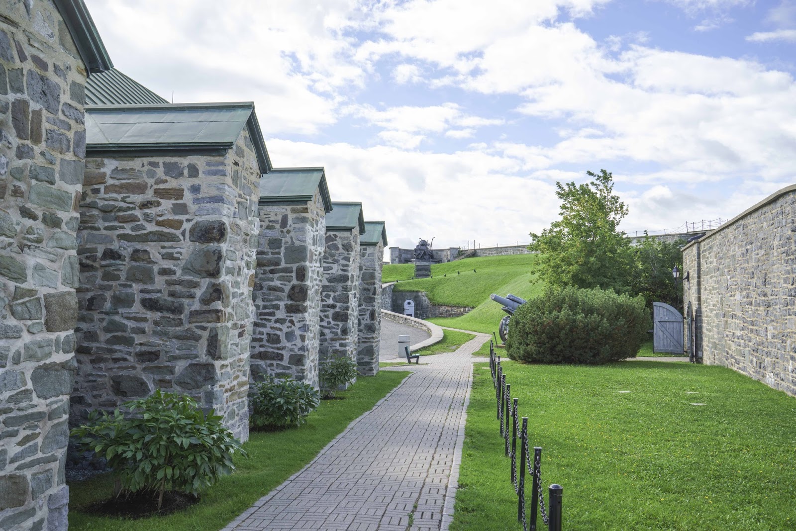
Besides the Chateau Frontenac, perhaps the largest and most impressive part of the Old City is the Citadelle, which is still an active military base.  It is located just to the left of the Chateau above, high on the hill above the river.  A VERY strategic location for protection in the past – a wonderful site for stunning views today.

A view of the St Lawrence waterway from the Citadelle.  No one sneaking up on them.

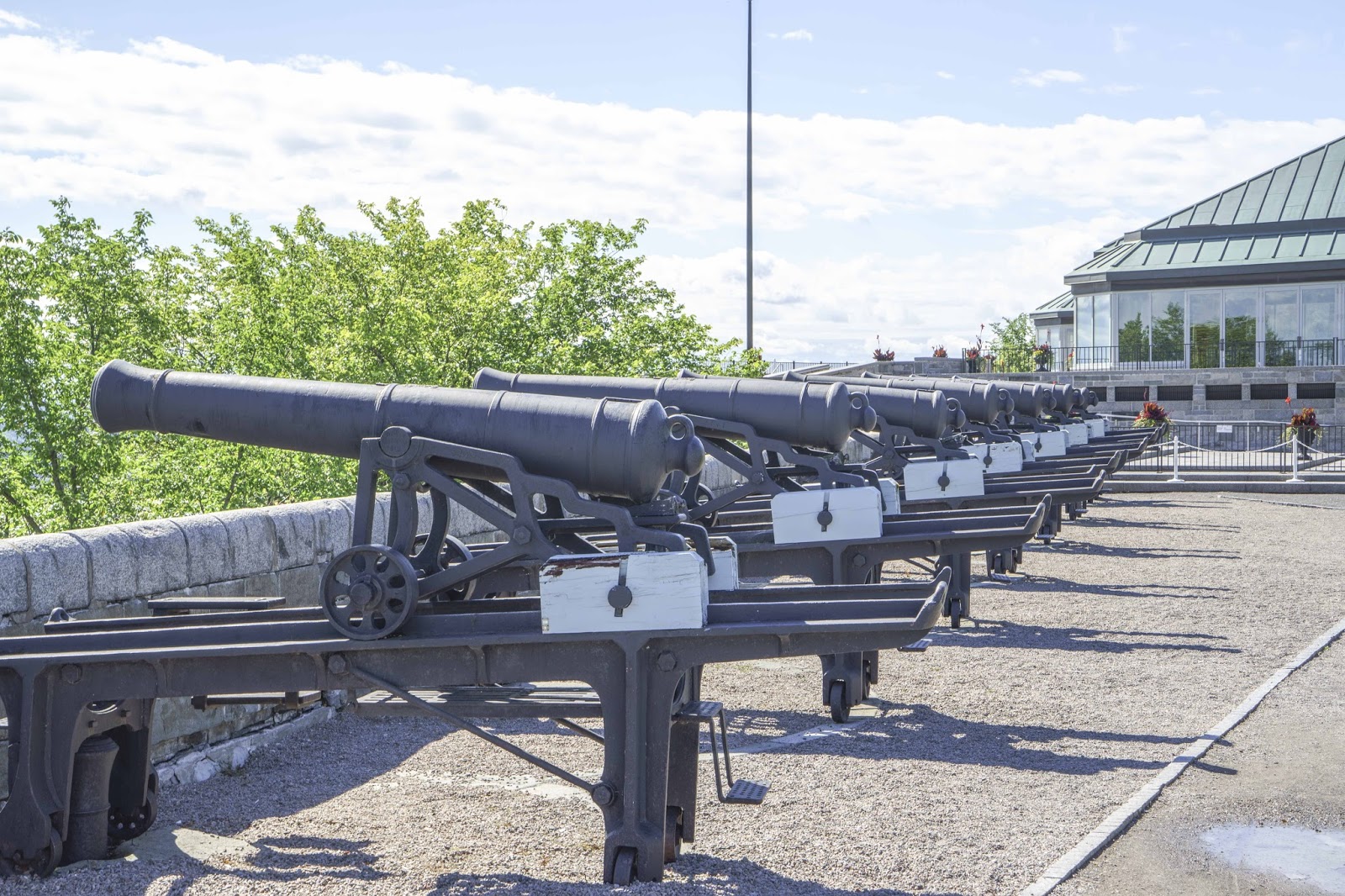
Canon, canon everywhere at the Citadelle.

A lot of the buildings in the fort were underground.  This powder magazine was not..for safety reasons.

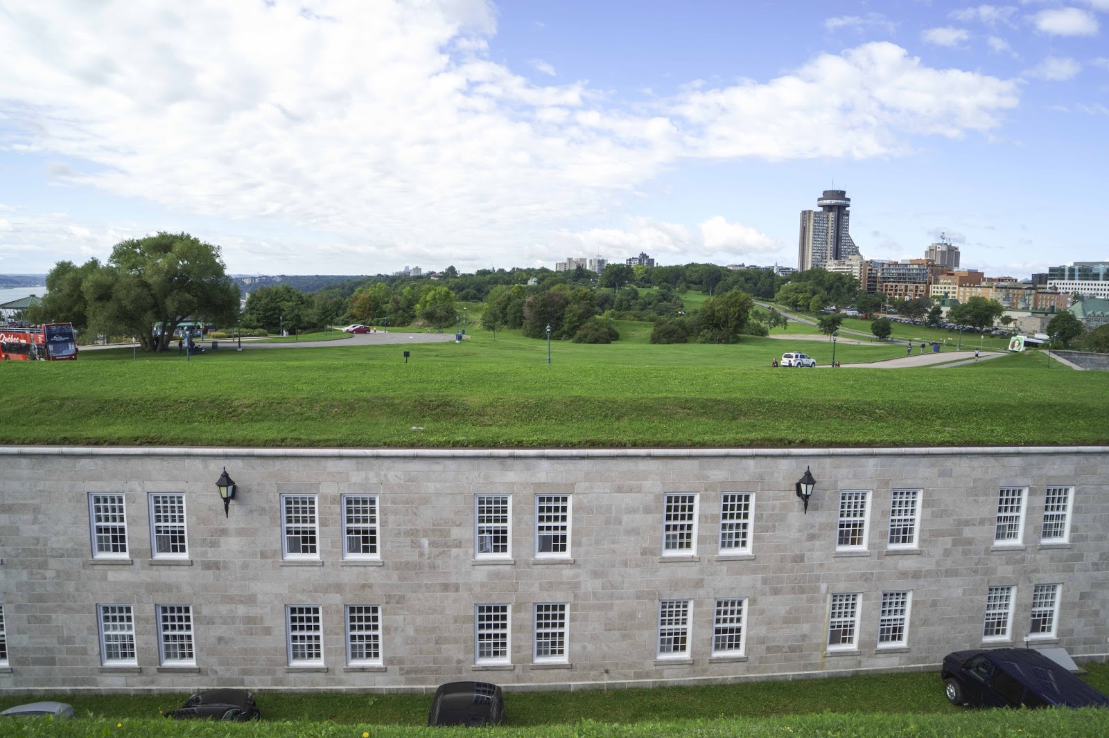
Buildings concealed by turf.  The Plains of Abraham in the background.

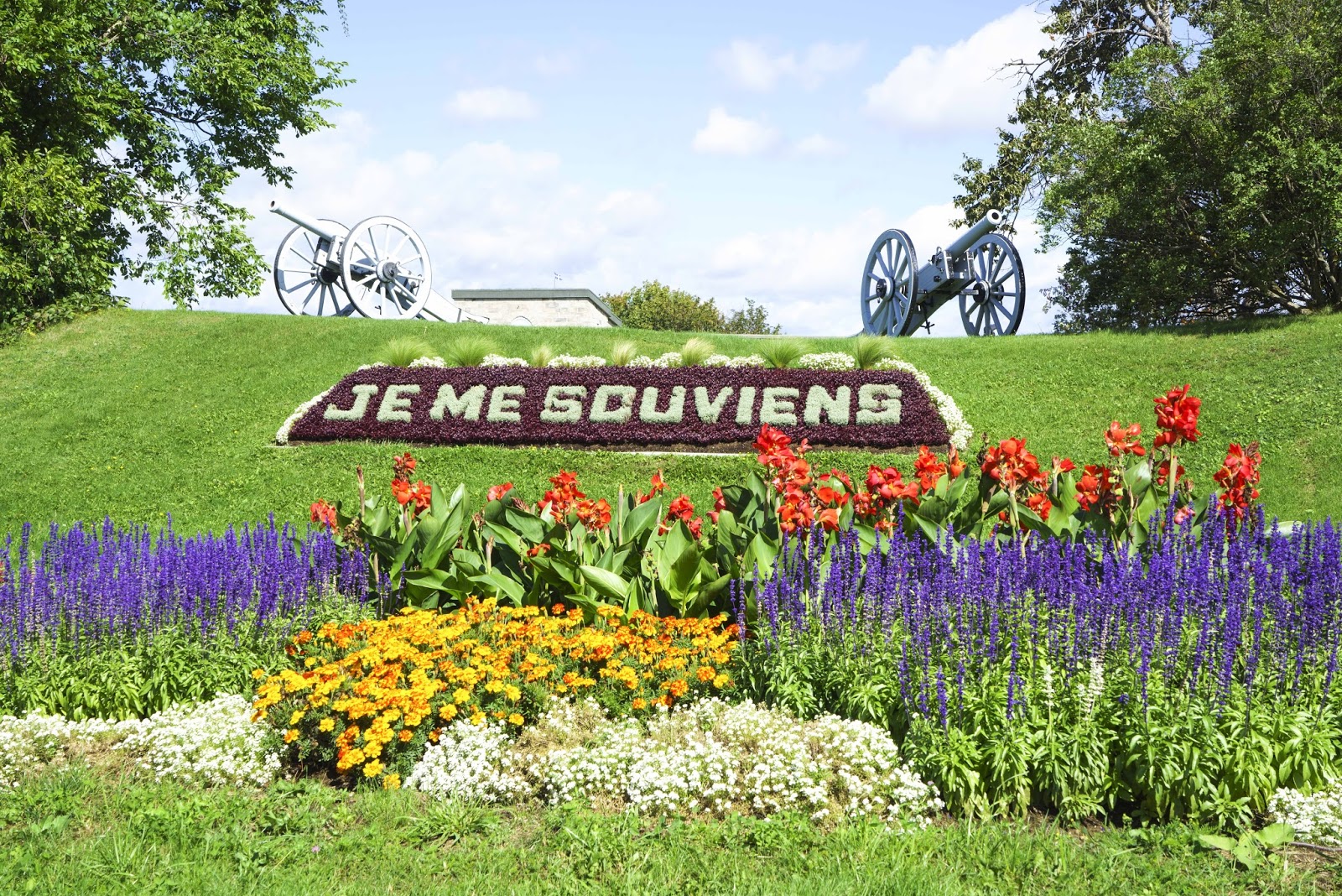
“I Will Remember (my fallen comrades).”

Below the Citadelle sits the old walled city – today with lots of restaurants, shops, galleries, etc.  Of course we found our favorite — which, as usual, turned out to be Italian;-)!

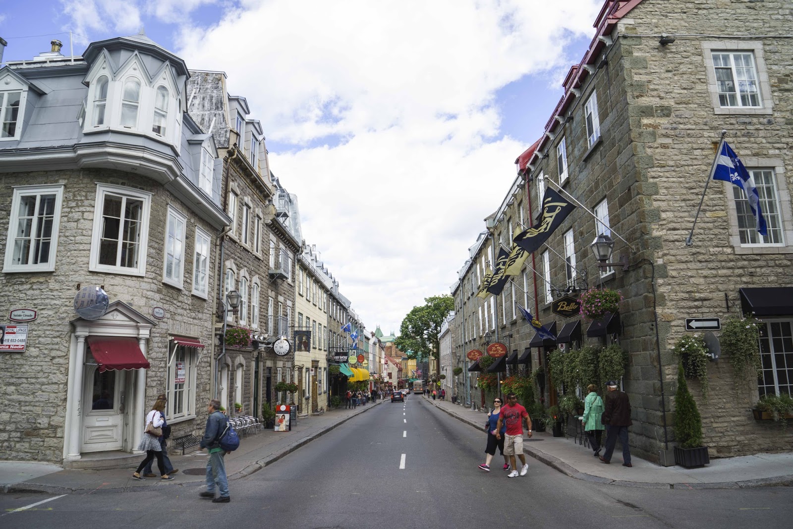
Rue St. Louis and our favorite – Bello Ristorante..really GOOD!

As always, the days go too fast and are too short.  And, it is time to move on again.  So — with a beautiful full moon over our heads, we took the last ferry ride back across the St. Lawrence River and said good-bye to Quebec —

Bon Soir Quebec.

Bonne Nuit – E & G

Ott-a-WA…Hut-HUT (Think Peyton Manning)

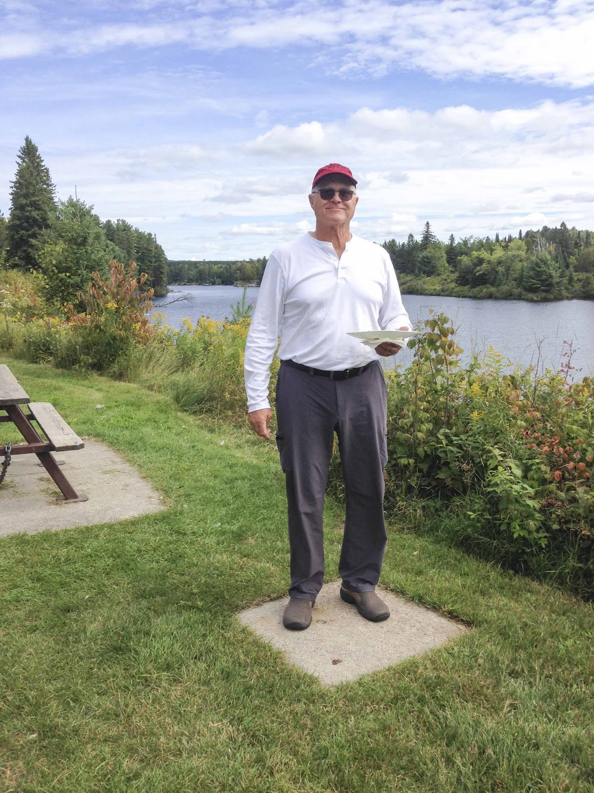
Well – with our shorter travel days and our normal departure times (of 8-9AM), we have fallen into a rhythm of looking for a good road side/trucker/biker breakfast place.  The Sands Inn on Golden Lake did NOT disappoint this morning.  The place was as neat as a pin, the food was great and the view was to die for.  What more could anyone ask for?!?!

Breakfast view at a roadside cafe between Algonquin Provincial Park and Ottawa.

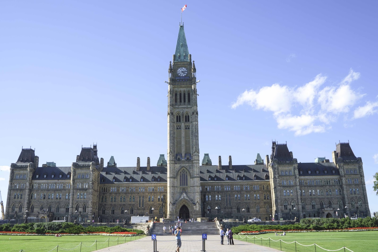
The next few days were spent in the capital city of Canada – Ottawa (Canada’s Washington DC).  Originally founded in 1826 as Bytown, the city was incorporated as Ottawa in 1855 and made the capital in the 1860’s.  Their Capital Hill is Parliament Hill with a Centre, East and West Block.  The Centre Block is home to the House of Commons (on the left), the Senate (on the right), and Library of Parliament (behind the Peace Tower).  The House of Commons and the Senate are separated by the Peace Tower, which one can ascend to just below the clock to get wonderful views of the city – –

Canada’s House of Parliament in Ottawa.

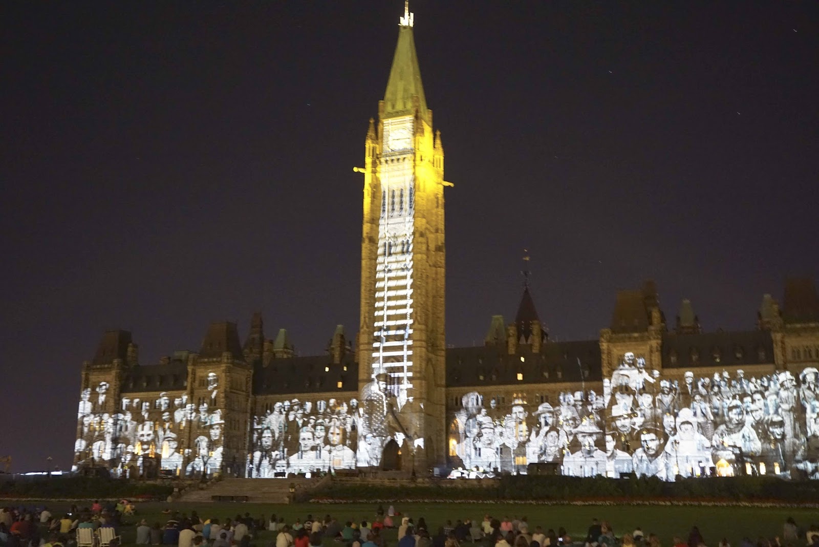
Every evening through the summer the ‘Mosaika – Sound and Light Show’ transforms the Centre Block by projecting dazzling colors and intricate animations onto Parliament Hill, creating a visual spectacle that tells Canada’s story.

Same building.. used as the “screen” for a presentation of the history of Canada.

The tour allowed us to see the House of Commons, the Senate, the Library and the great views from the Peace Tower – –

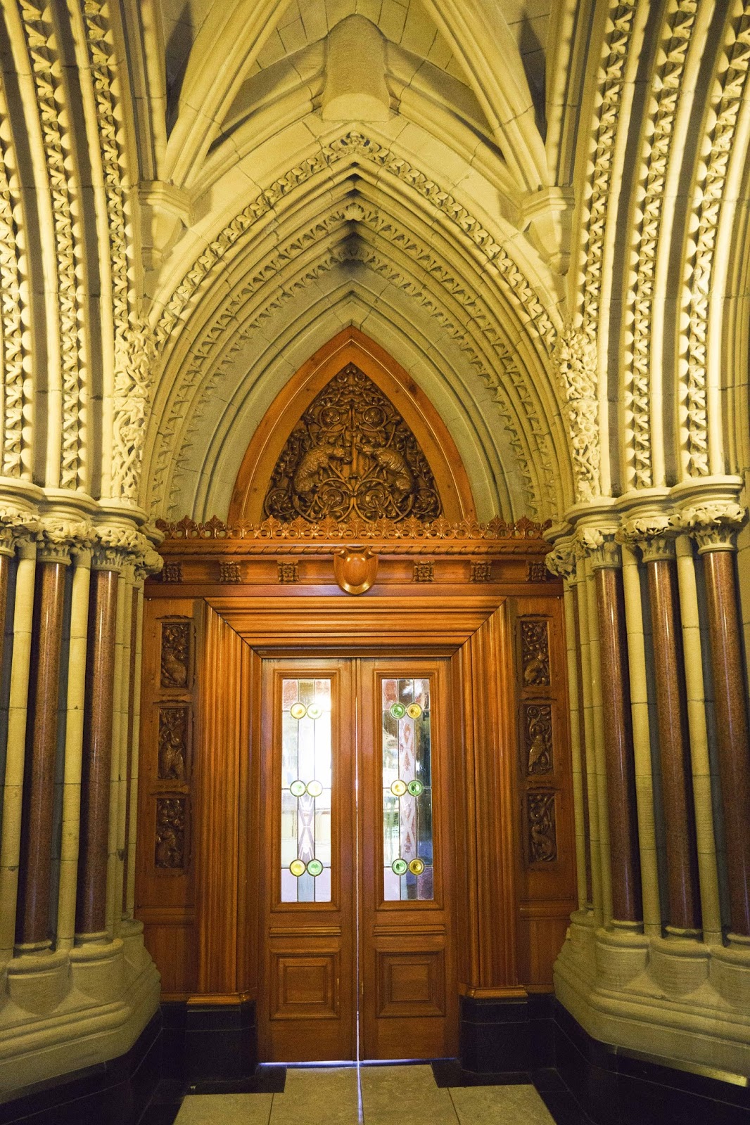
Entry doors to the Library of Parliament.  Too bad we couldn’t take pictures
inside as it was the most interesting room in the building.

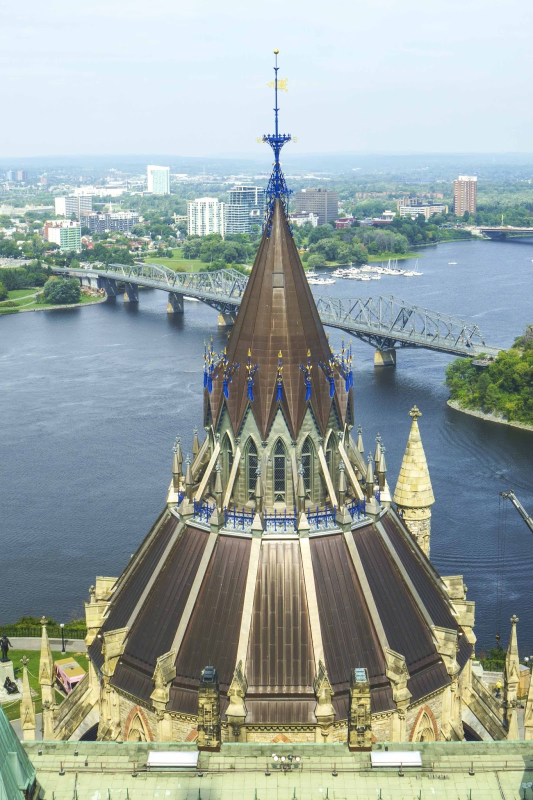
Top of the library wing shot from the top of the clock tower.
Ottawa River and Gatineau in background.

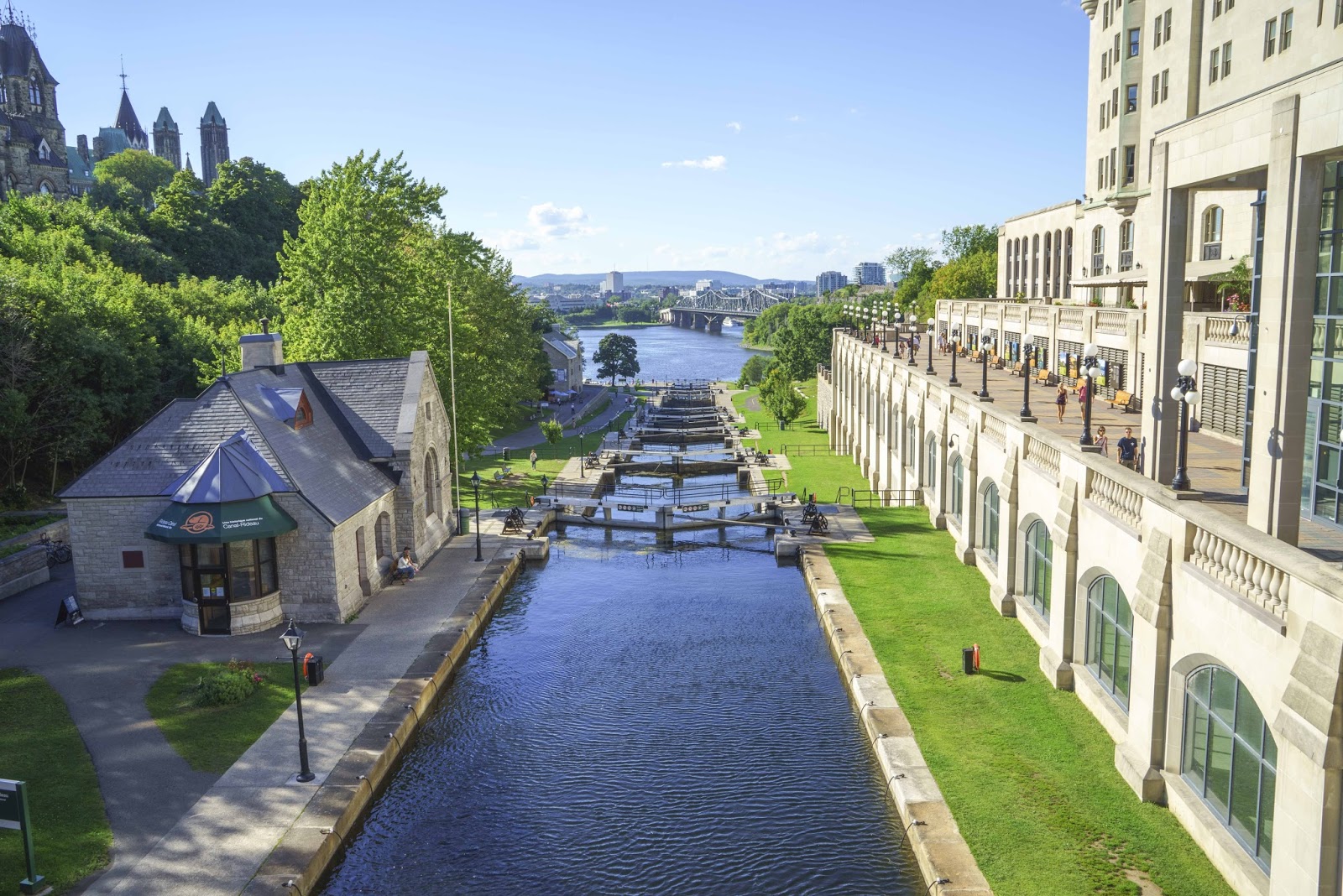
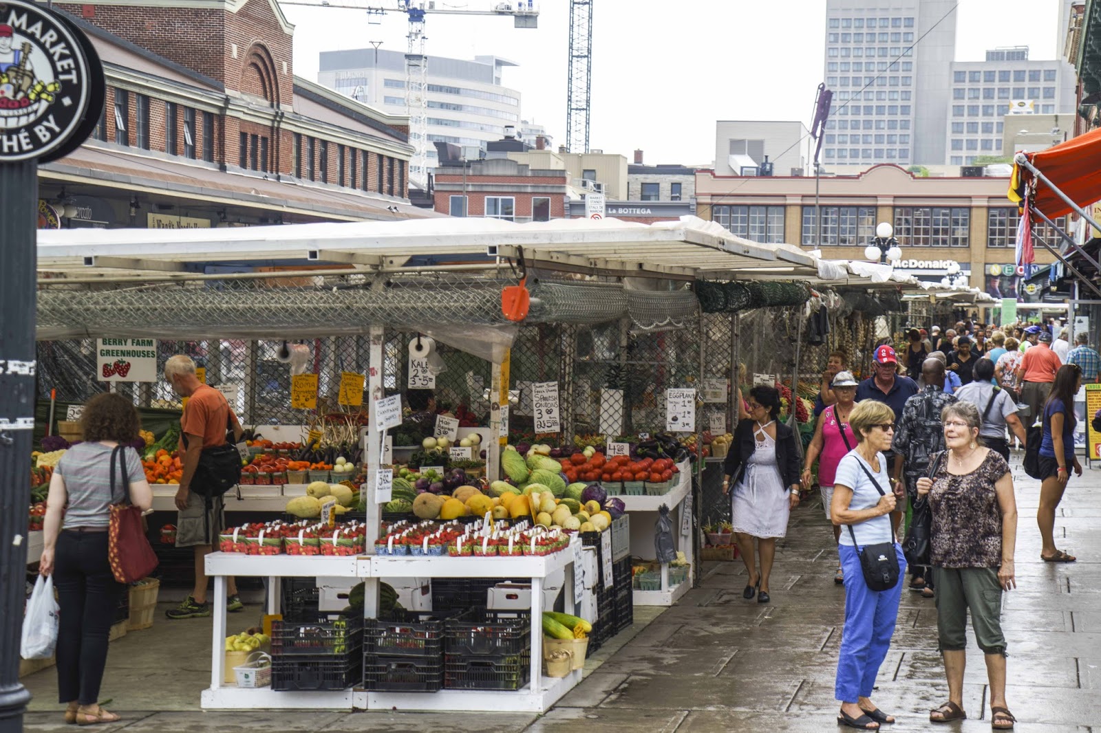
Just to the east of Parliament Hill, Ottawa is teeming with sites.  Just adjacent is the Rideau Canal – a UNESCO World Heritage Site – which flows through the heart of the city and the Tomb of the Unknown Soldier.  The National Gallery of Canada and Notre Dame Cathedral are within blocks as is the US Embassy.  Then there is The ByWard Market – where we managed to eat breakfast, lunch and dinner – AND get fresh Ottawa and Quebec fruits and veggies for another dinner!!

Locks on the Rideau Canal.

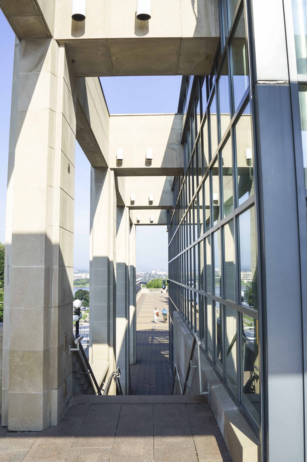
Architecture next to the Rideau

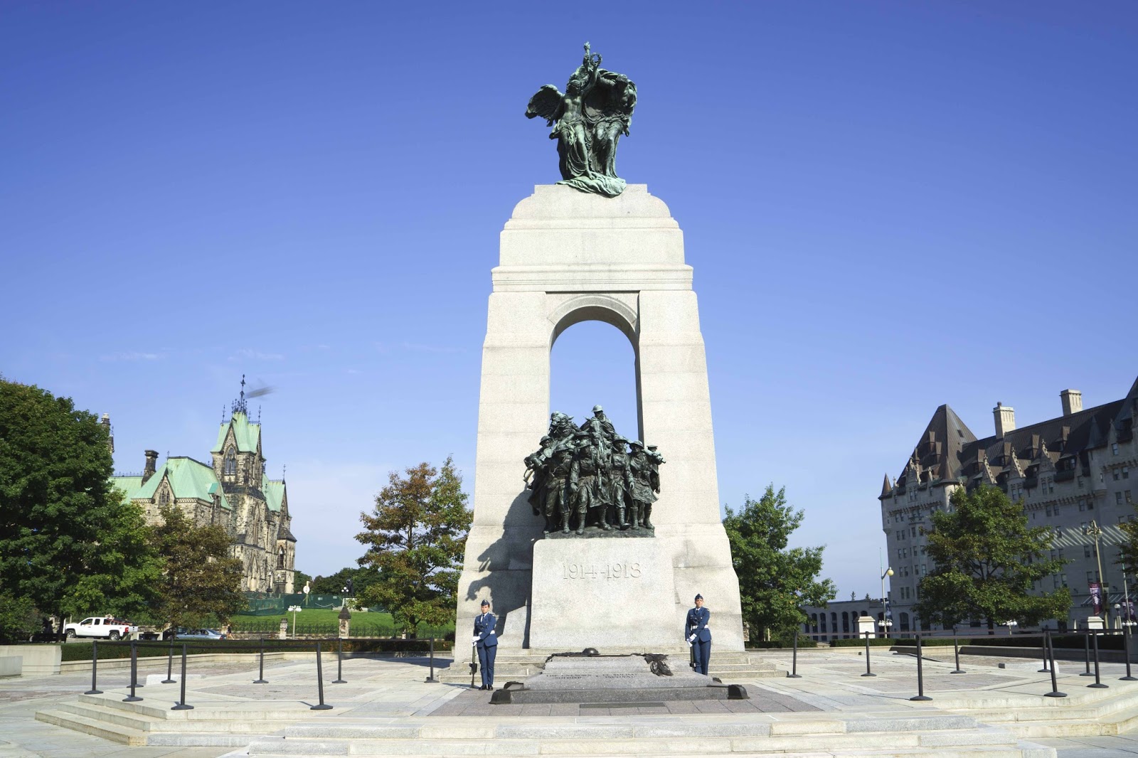
Tomb of the Unknown Soldier.

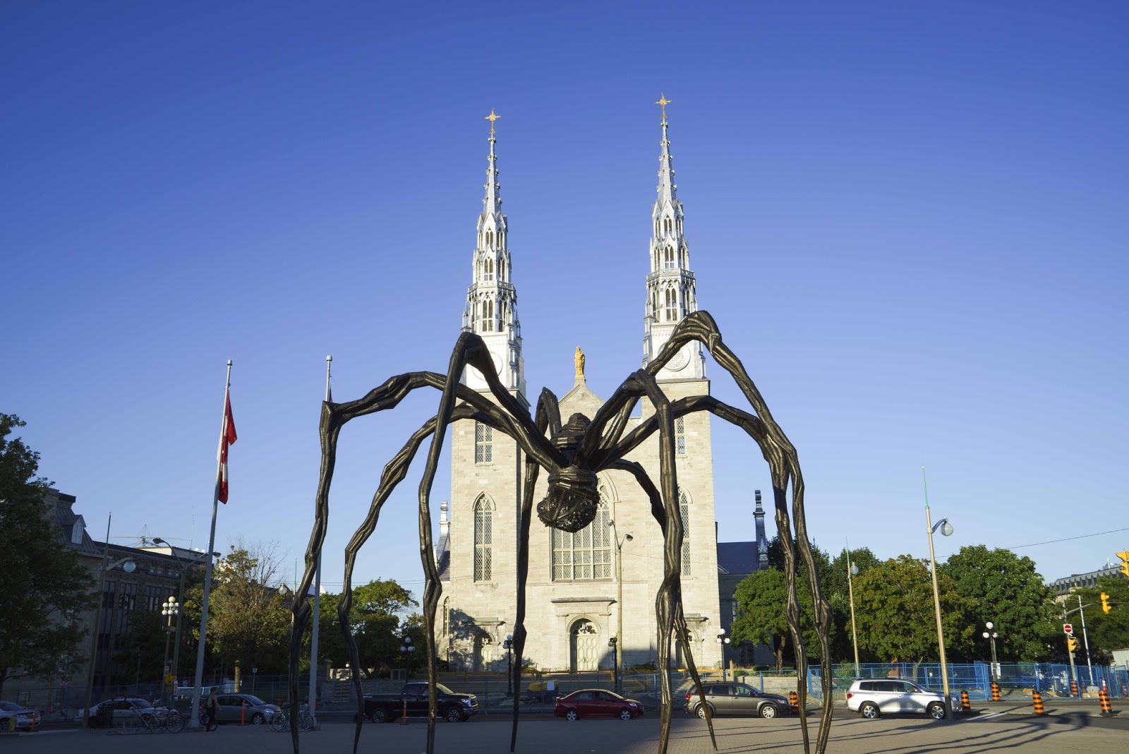
Shelob (Tolkien fans know) approaches Notre Dame Cathedral from the National Gallery.

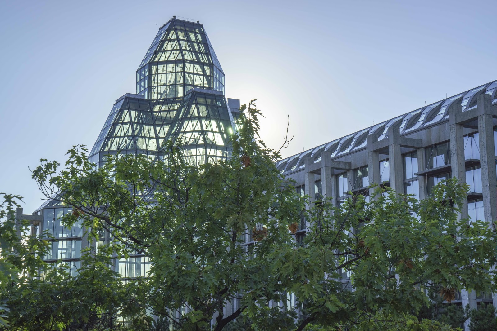
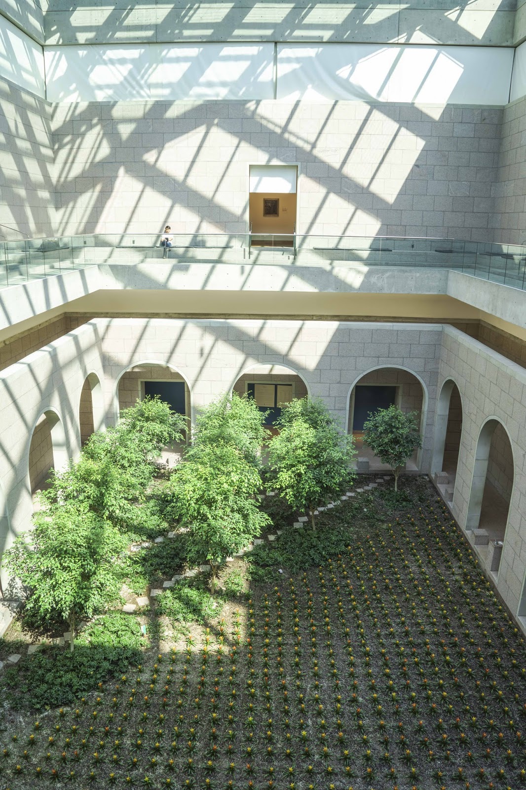
The National Gallery of Art was something to see..both the building and the exhibits.

A ‘Cloister’ feel inside the museum – chanting music included!

ByWard Market

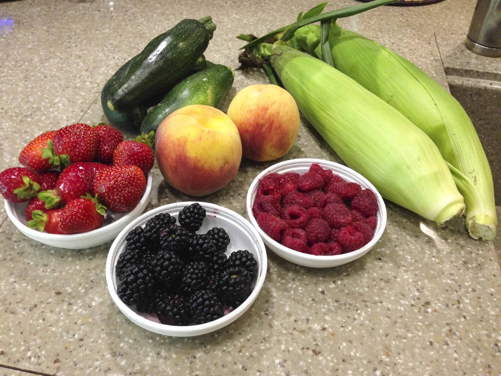
Our haul from the Market – Yummy fresh fruits and veggies.

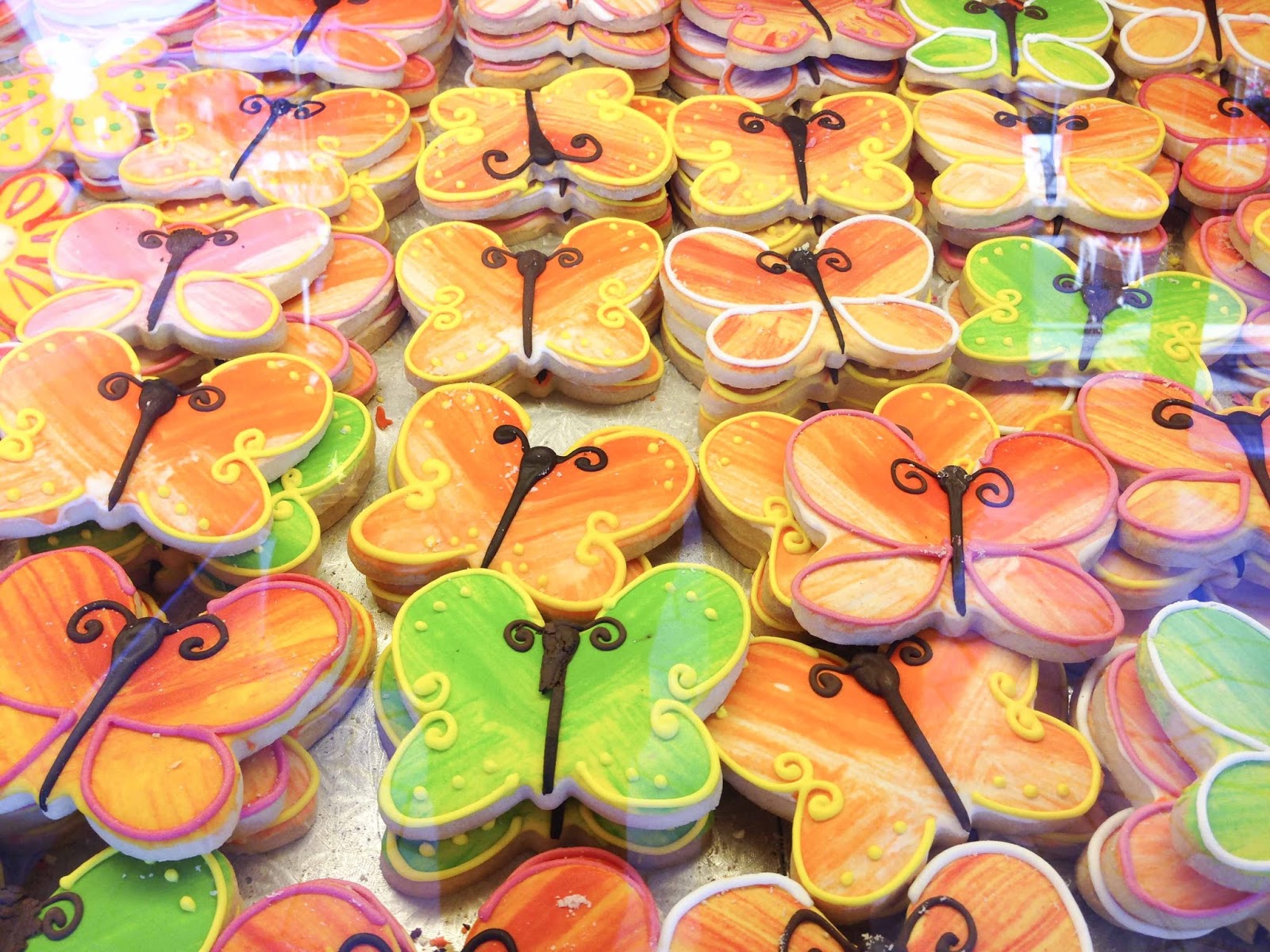
Butterfly cookies galore.

After two pretty full days in Canada’s Capital city, we were exhausted – BUT, barely put a dent in what there was to see.  A wonderful place that educated, fed and delighted us;-)

The walled city of Quebec is next on the agenda.  See you there in a few days –

E & G overwhelmed with Ottawa

What – NO Internet Service?!?!

Did you miss us?  We have been in that ‘internet void’ for the past week;-(  That doesn’t mean that we haven’t been very busy, however.  
One week ago we entered Canada and all new adventures.  Knowing that internet service here would be a challenge with all our US equipment – A quick stop at the Roger’s store (the Verizon equivalent in Canada) in Sault Ste. Marie was to remedy that situation.  For the most part it did – so imagine what our problems would be without that stop.  The remote areas of the Provincial Parks have just had NO service – AT ALL.  
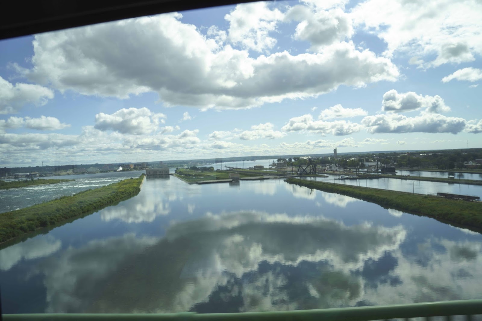
So – with business done and explained – on to more FUN things.  The bridge from the US into Canada provided a great view of the locks below – –

The locks at Sault Ste. Marie – between the US and Canada

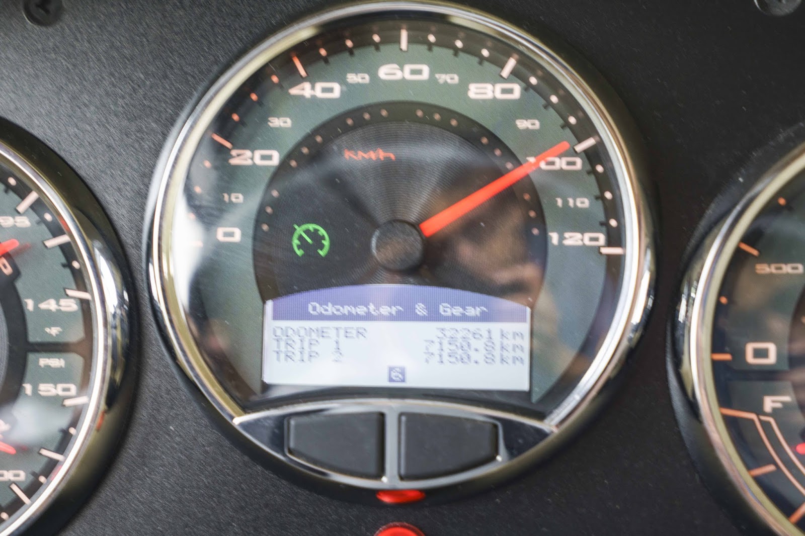
Gary wasted no time taking advantage of the new speed limits in Canada!  Oh yes – it is kph now, instead of mph – so Magic is only pushing about 60.

Slow down dude.  Oh, never mind..it’s kilometers.

After our brief overnight stop in Sault Ste. Marie, Canada, we were on our way to Parry Sound – an inlet off the Georgian Bay on the east side of Lake Huron.  There was, of course, the obligatory beautiful lunch stop in Magic on our way – –

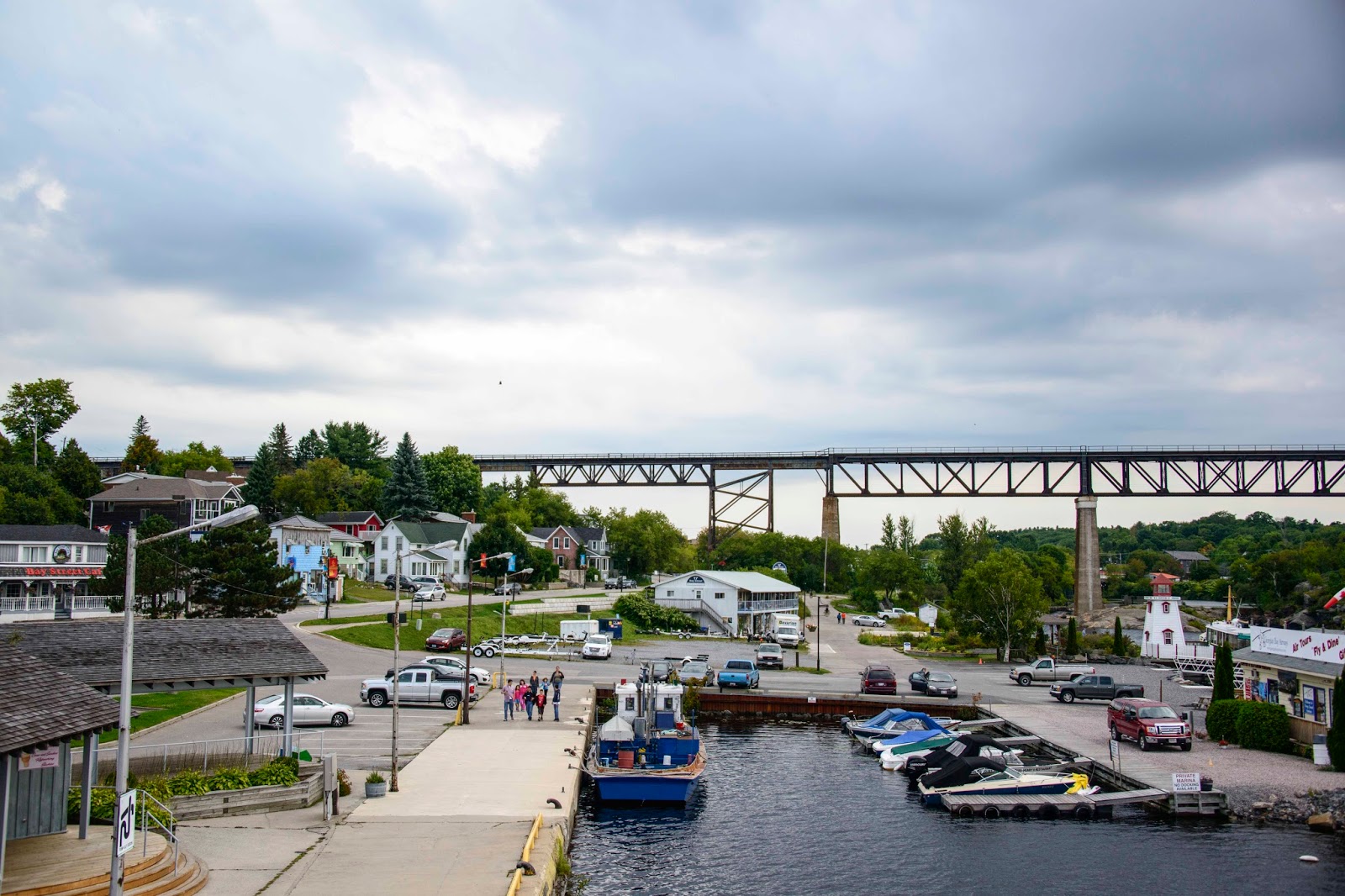
A two hour cruise (yes, a two hour cruise) provided an overview and introduction to Georgian Bay’s 30,000 Islands, the largest concentration of freshwater islands in the world within a geographical ecosystem so unique that it has earned World Biosphere Reserve status from the United Nations.  As we cruised through all these islands, we were also told that at one time the ‘little hills’ we were looking at were the tallest mountains in the entire world!!  Glaciers wore them down to what we see today.  Hard to believe – BUT, they were telling the story.  As The Island Queen pulled away from the dock, the highlight of the Parry Sound skyline was captured – –
The historic train trestle in Parry Sound.

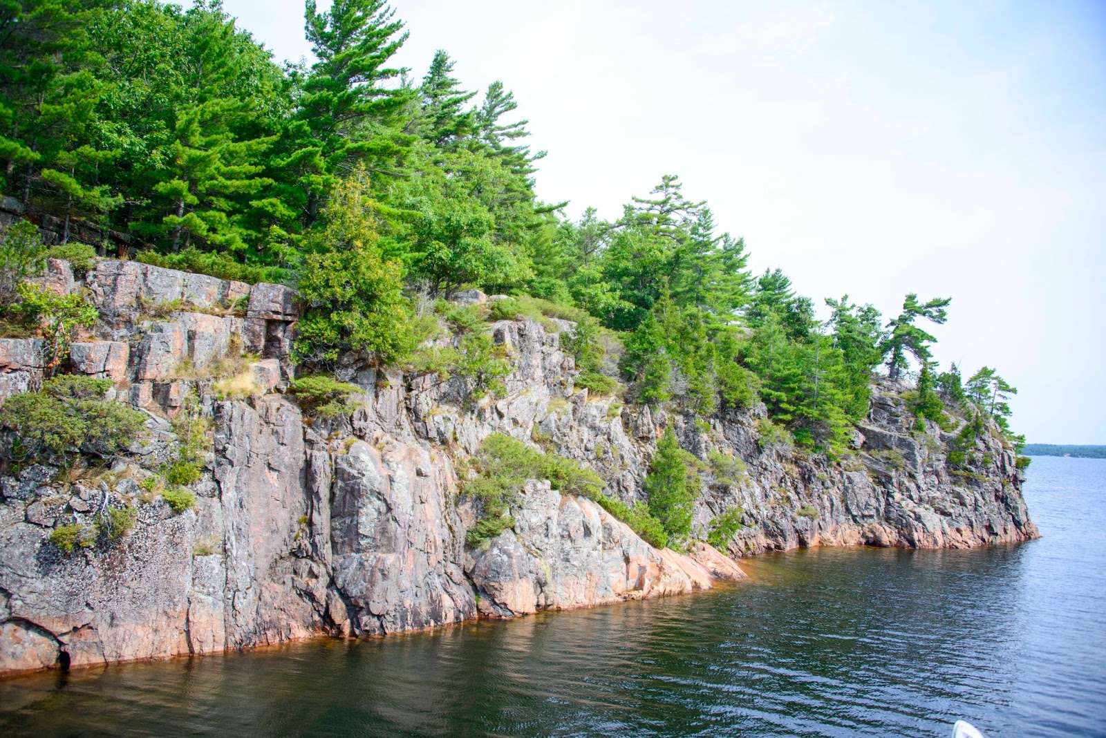
One of the 30,000 “islands” of the Georgian Bay.

The week-end we were in Parry Sound was Labor Day (or Labour Day in Canada).  Anticipating large crowds in the Provincial Park and harbor areas, we went in search of the Canadian vacationers.  Harbor after harbor was quiet and calm.
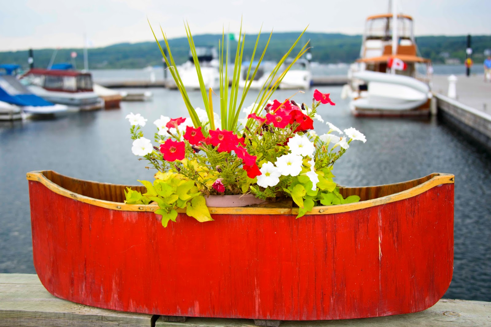
One of a plethora of painted planters placed on Penetanguishene piers.
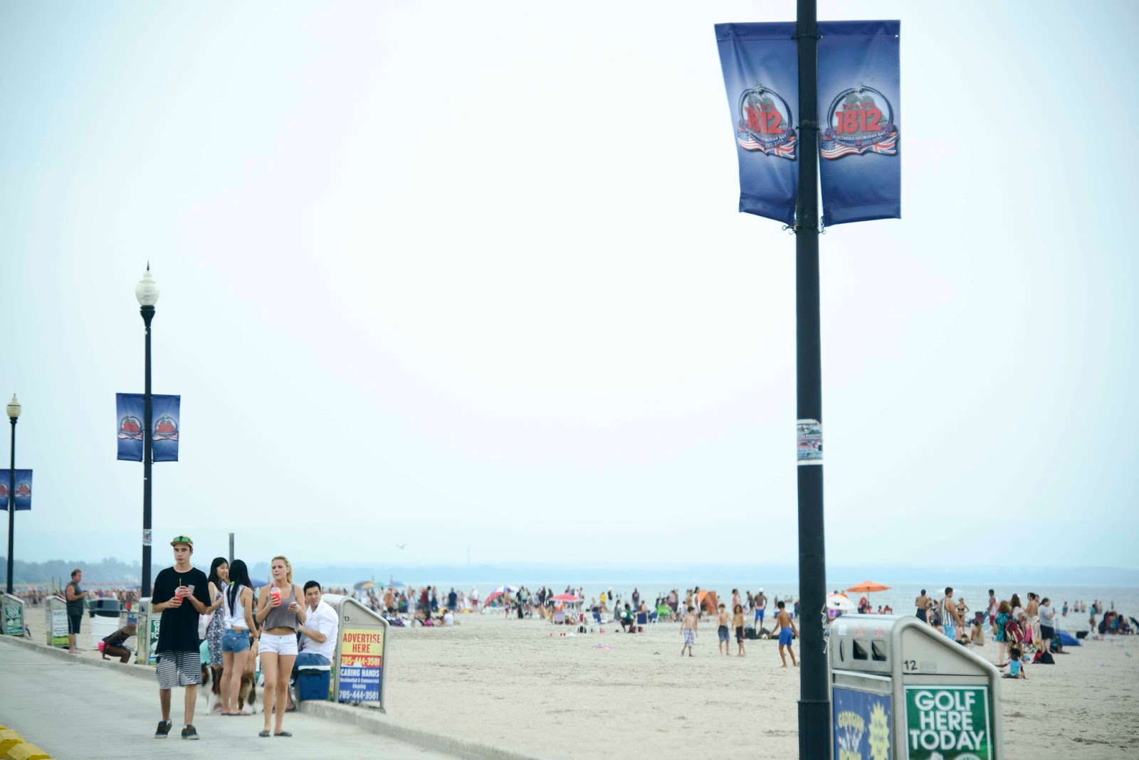
AND THEN – right here in Canada was Venice, CA —

Wasaga Beach..the Georgian Bay version of Venice Beach.

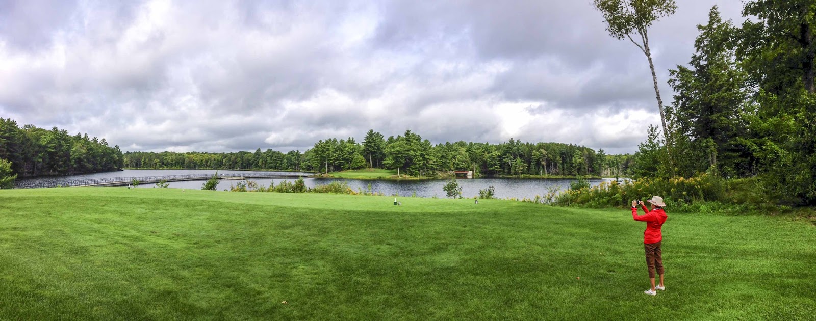
It was about time for another morning of golf – and a BEAUTIFUL one it was.  The Seguin Valley Golf Club was a wonderful surprise and a very fun morning – –
Does this seem fair? My tee here..E’s tee in the middle of the bridge.
We both donated a number of balls attempting to reach that itty bitty green across the lake.
Time to move on.  Next stop – Algonquin Provincial Park and another new, beautiful home for Magic-

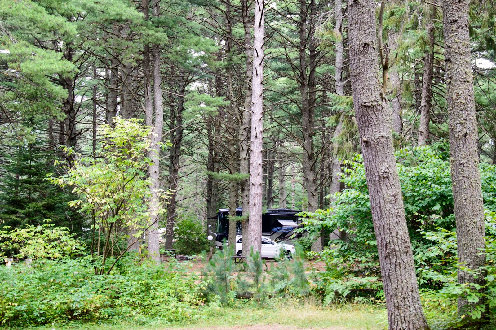
Magics new spot at Lake of Two Rivers in Algonquin Provincial Park in Ontario, CA.

This was a bit of a quick stop – only 1 1/2 days.  But, did we pack it in.  This is a sample of our itinerary – –

     Get set up in camp – walk the campground stopping at the general store for afternoon ice cream
     Drive to Lake Opeongo to investigate canoe rentals (opted out)
     Return to Magic to prepare dinner
     Attend Ranger presentation on Moose at the amphitheater
     Sleep fast
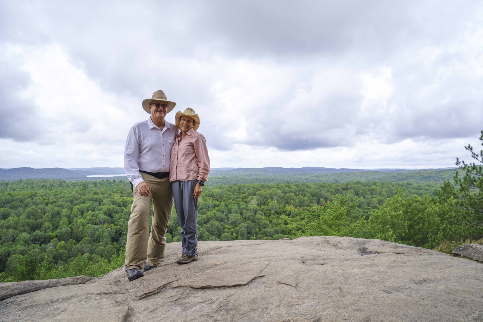
     Up early for a hike on the Lookout Trail for some gorgeous views of the park (below)
     Check out the Visitor Center with a film on the park and nature exhibits
     Take the hike thru the Logging Museum
     Drive to Rock Lake
     Return to Magic to get ready for a nice dinner out at Killarney Inn
     Retire early and prepare for another travel day in the morning – WHEW!!

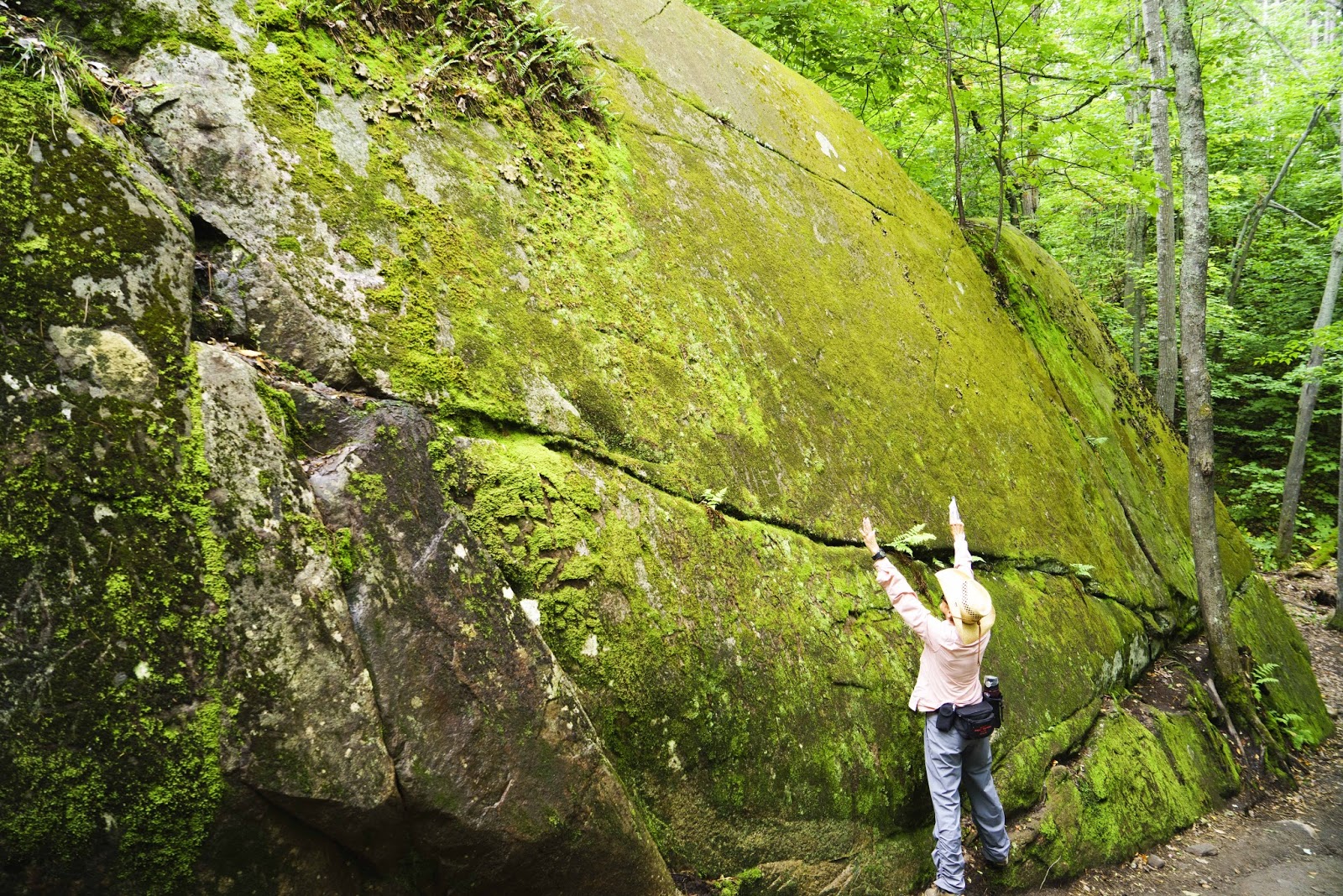
The trail guidebook said this was a pebble left behind by a glacier – some pebble!!

Lake of Two Rivers (in the distance behind us) from the Lookout Trail.

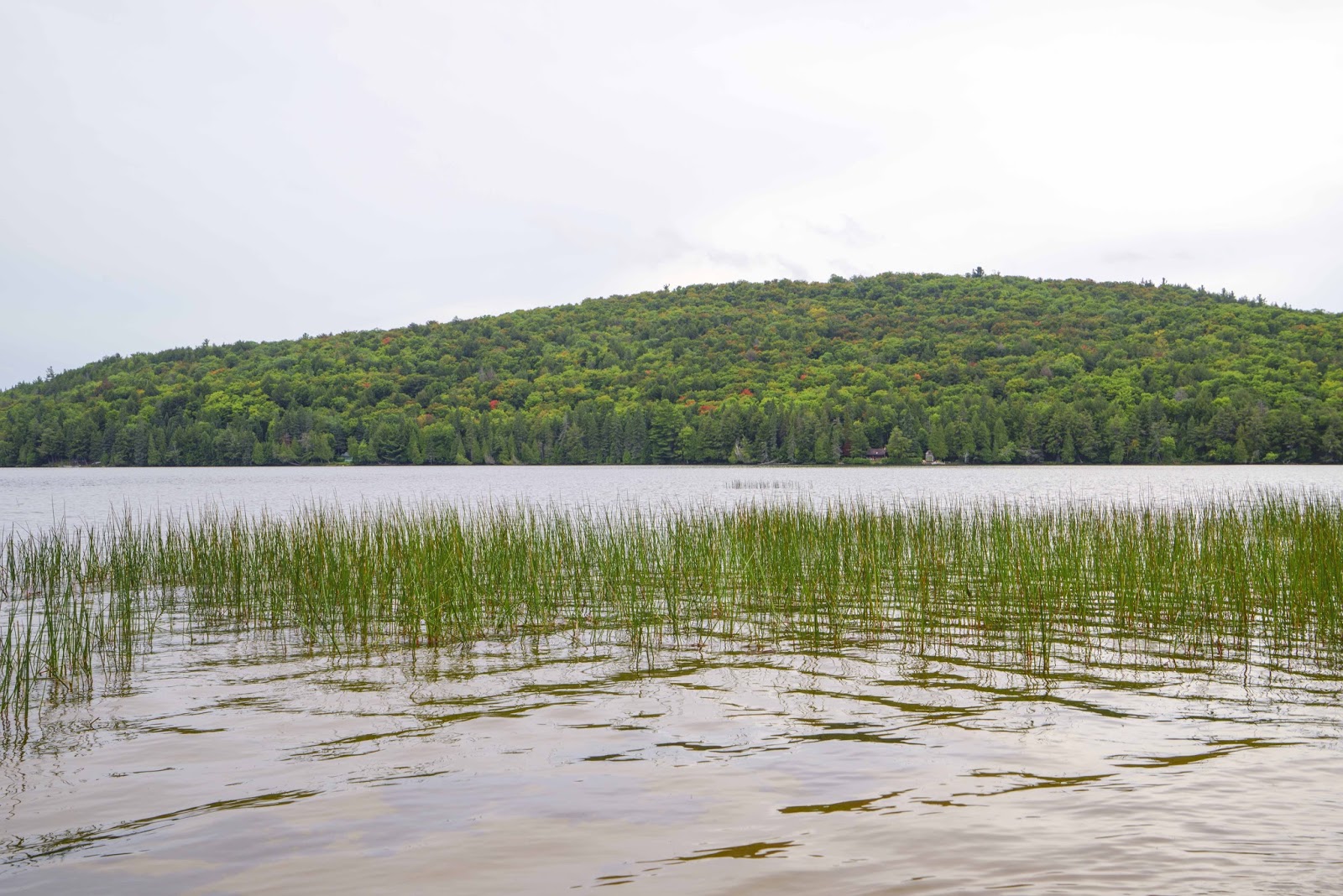
Lake Opeongo drive – The only thing missing here is a munching moose.

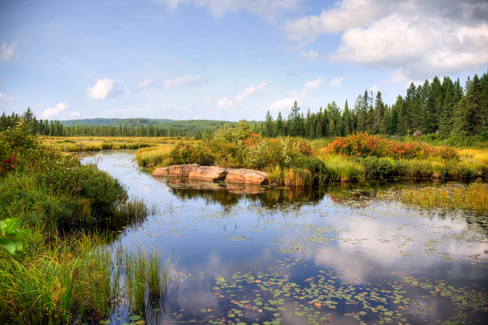
Rock Lake – Lakes, lakes everywhere.

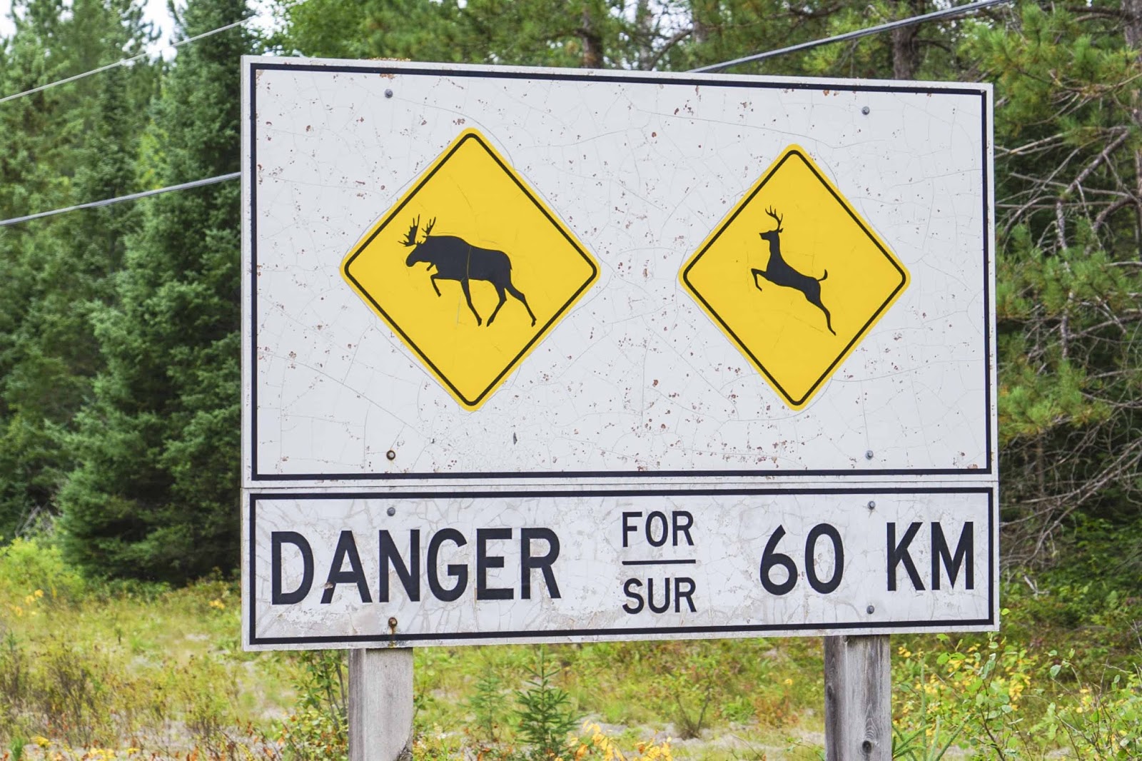
These are the only moose and deer we saw in  the Park.

Once again it was time to move on – back to habitation in Ottawa.  See you again soon –

Elizabeth, Gary and Magic looking for a Starbucks AND an internet connection;-)