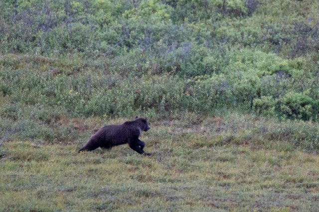
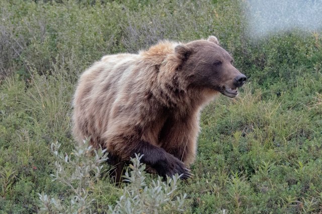
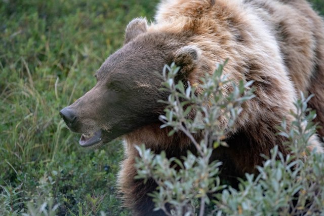
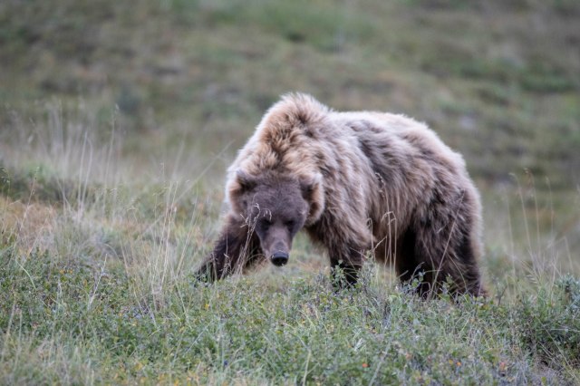
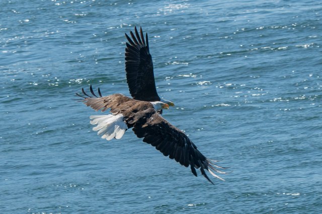
Kingdom of the Bears

Welcome to Katmai NP and Preserve;-)  Originally established in 1918 as a National Monument to protect the volcanically devastated region surrounding Mount Katmai and the Valley of Ten Thousand Smokes (more on this later).  Then – man found this to be an excellent fishing area, as salmon returned here annually to spawn.  This resulted in the first ‘fly in’ fishing lodges – including Brooks Lodge, which was the 2nd such facility.  But, the salmon fishing here was also known to the grizzly;-)  And soon man discovered the grizzly fishing here at Brooks Falls AND a bear cam was installed as well as a few prominent photographers marketed some astonishing pictures of the grizzly catching fish literally jumping out of the water into their mouths!  That’s all it took.  Now there is a lottery to get to Brooks Falls in July, when the salmon are running the heaviest. That’s why we were here in September – when the second ‘batch’ of salmon head this way.   Today this area is a NP and Preserve protecting 9,000 years of human history as well as an important habitat for salmon and thousands of brown bears;-)!!

To set the stage – the only way into Brooks Lodge/Falls is by float plane.  There are NO roads, cell coverage, internet or TV;-)

One of two small planes to get us to our destination.
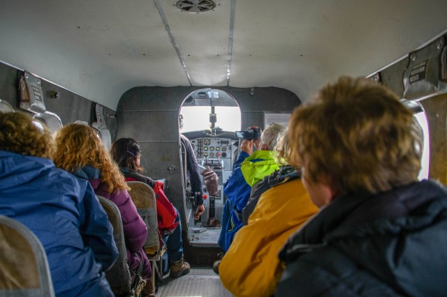
 

Away we go.


Upon landing at Brooks Camp one is immediately taken to “Bear Orientation”.   All who come here are in a preserve for the bears – it is THEIR home and THEIR territory and they have first rights.  Instructions are that one stays 100 yards from the bears at all times.  If a bear comes out of the trees around you while you are walking on the paths around the camp (thus closer than 100 yards) – ‘YOU back off the path, face the bear and tell it in a calm voice that you are making way for it to pass!  You then wait for it to pass.’ More on this shortly;-)

We were literally at camp!  After the ‘bear orientation’ next stop was the small check-in cabin and a ‘tour’ of the ‘dining hall’ (which included a bar, seating area around a fireplace and long picnic tables for eating breakfast, lunch and dinner and playing games later in the evening) – then off to our assigned room.  This was approximately 10×10 with two sets of bunk beds (one on each side of the door) and across the back of the room a shower, sink and toilet.  Good news is – the mattress and pillow were excellent AND we had heat and running HOT water IN the room.  There was a sign over the toilet, however, that suggested you not flush in the middle of the night as there was no insulation or sound proofing;-(
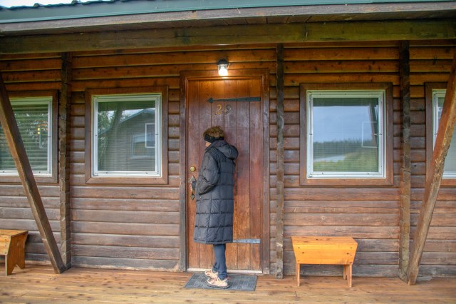
Our 10 x 10 bunk bedded room – YEP, this was the whole room!


OK – checked in and backpacks unpacked – we were off to the main event.  There was a path from our rooms, past the dining hall and check-in cabin to the bridge crossing the river.  All about 1/4 mile.  On the other side of the bridge was a viewing stand and another 1.5 miles to the viewing stand at the Falls.  It seems that there were three BFF bears that really liked hanging out, playing, wrestling and fishing around the bridge and along the path from the dining hall to the bridge.  Remembering that there is to be a 100 yard ‘buffer zone’ – if any of these three BFF’s were around the walking path or the bridge – IT WAS CLOSED until they moved away.  No matter if you were on the other side and couldn’t get to dinner or couldn’t get to your plane.  The standard line was “they know and will wait for you”!!

The bridge to the lower viewing platform and the path to the Falls.
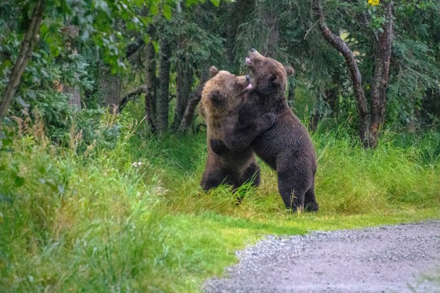
“Bear Jam”. Two of the three BFF’s who blocked our way to the viewing platform at least once every day – as they liked our path you can see to the right.

One, two, three .. your down.
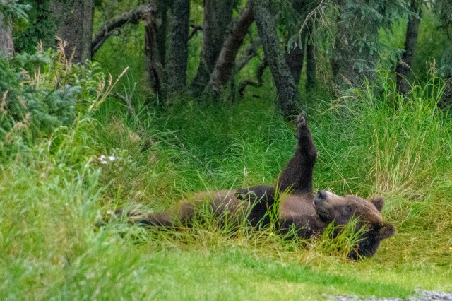
That wore me out – I need a nap.


OK – first Bear Jam over and on our way to the Falls platform.  After about 1.5 miles (with bear encounters along the way!!!) this walkway, which becomes elevated over the bears’ habitat, is entered.  There are many gates and doors to go through ensuring the bears do not also enter – –

This lengthy raised walkway brings us out to….

..the upper viewing platform, which then presents us with…

…this amazing scene. We spent a lot of time in this spot for three awesome days!!

This is what we came for AND we were not disappointed.  The pictures speak for themselves – and as you can imagine – these are only a sample of the approximately 3,000 taken;-)
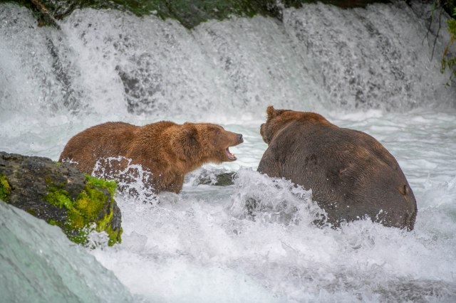
The big guy on the right took on all comers. He clearly had seniority!!
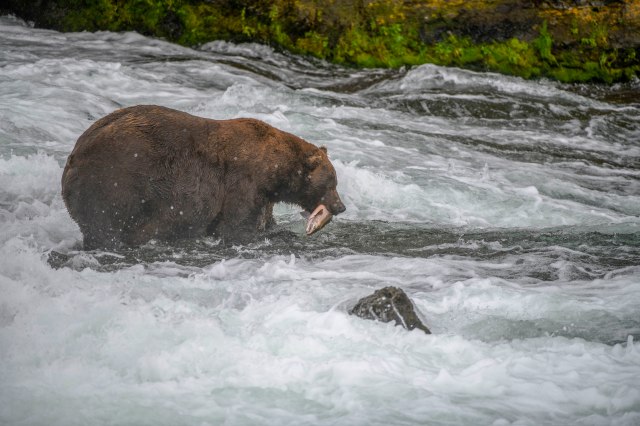
Fattening up for hibernation.

His belly almost scraped the ground as he walked.
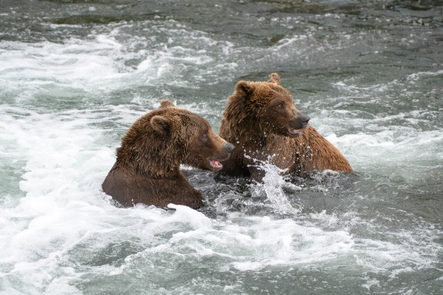
Hey, he grabbed a salmon, we better get busy.

Seagulls were ever present, waiting to grab the leftovers..

This bear liked the bottom of the falls catching the salmon that didn’t quite make it up the falls.

Aaahh, life is good.

Lots of movement, jockeying for position.

I had been itching to capture this sequence for years.  It didn’t happen for me but E managed to get these great shots.

More turf battles.
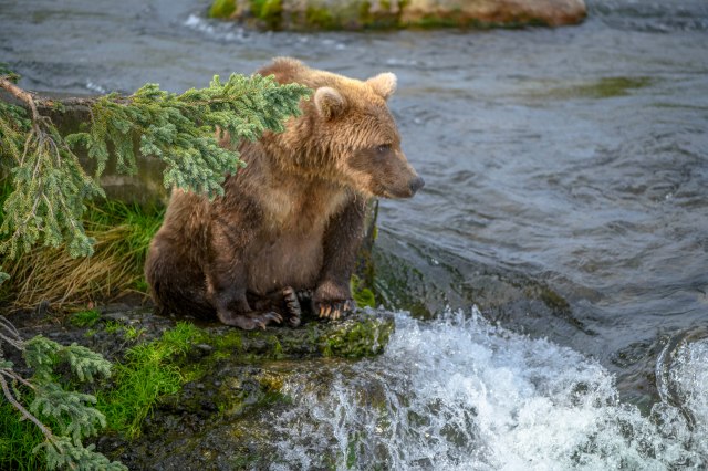
Hmmm, shall I get back out there again?
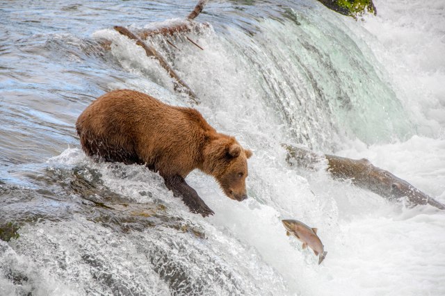
Not once, but twice. Way to go E.

Here fishy, fishy.

Gotcha!

Okay, let’s take a break.
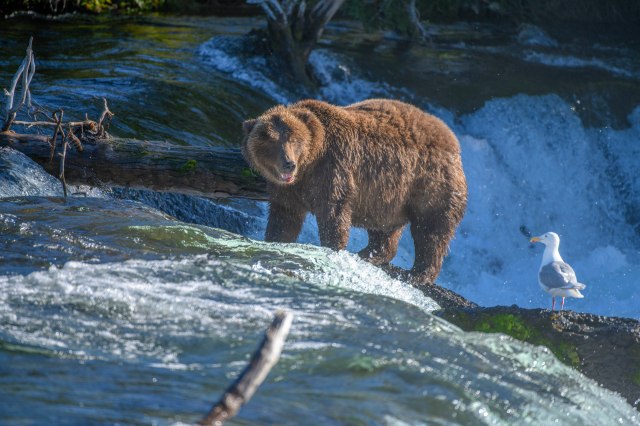
Hey Seagull – don’t be stupid.
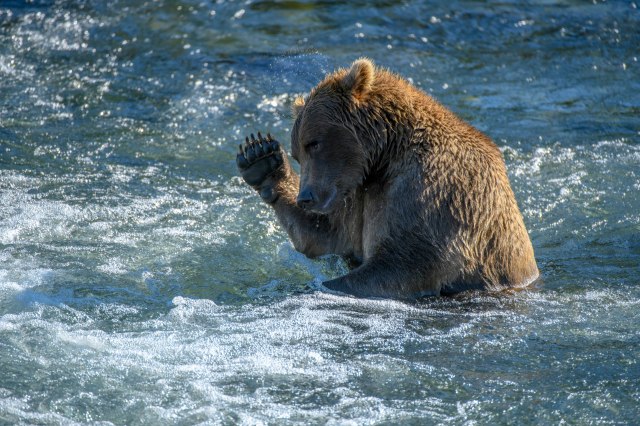
Waving at the cameras? Nope, just finishing up a ear scratch.

This big guy was taking a nap just off the trail.


As mentioned at the beginning of this posting, this area was originally designated a National Monument to protect the area of volcano devastation – The Valley of Ten Thousand Smokes.  Three years after the volcano, Robert F. Griggs was investigating the area for its geology and saw the ‘smoking vents’ – remnants of the eruption.  Thinking this area might be similar to Yellowstone with its geysers, he set out to get the area protected as a National Monument/Park.  It was made a National Monument in 1918 (the 100 year anniversary this year), but the activity was not geyser like.  The smoke that was seen was steam coming from the glacier streams mixing with the heated volcanic ash.  A volcanic ash that was up to 700′ deep!!  This particular morning we were off to see the Valley of Ten Thousand Smokes for ourselves – – – AFTER a Bear Jam holdup!!  (It was OK, though, as our bus driver was on the same side of the bridge as us during the Jam.)

Beautiful morning for a hike.

Headed for our bus – – another bear jam.

Our coach awaits.

Ranger Bob guided our visit to the Land of 10,000 smokes. He stopped here to show us what the valley looked like before the eruption.

We had a few rivers to cross!

All of the brown surface is volcanic ash from the 1912 eruption.
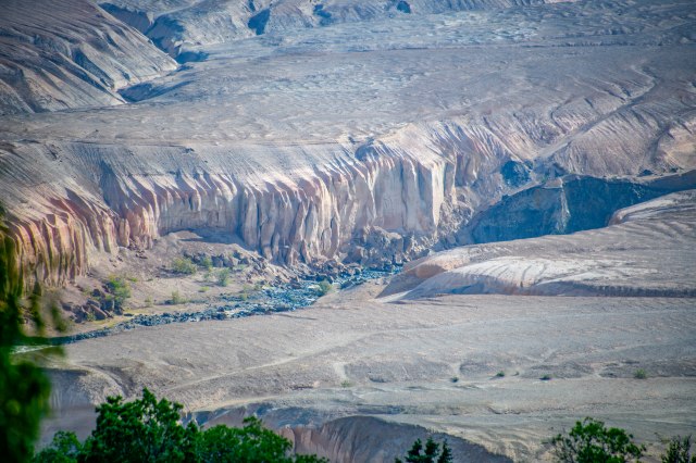
The river reasserted itself and re-opened its route.
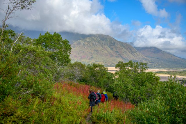
Time to hike down and check it out. The fireweed had turned to bright red.

The views down in the canyon were awesome, both of the river…
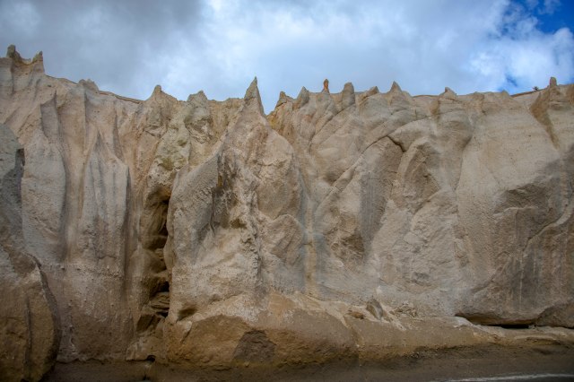
..and the canyon walls.  These were 70′ tall – those at the base of the eruption are 700′ tall.


Like all of our adventures, this one also had to come to an end;-(  We DID have one last Bear Jam the morning of our flight, though – we were caught on the other side of the bridge while two of the BFF’s took a nap on the path just over the bridge.  When they did wake up – they decided to fish around the bridge.  No problem – since we were the only 4 on the plane – it waited;-)

At last we had to leave the preserve and return to the big city – this was the airport!!

Great views along the way.

Including a view of Denali – 300 miles away.


There are not enough superlatives to describe this experience!  If you ever want to ‘walk with the grizzlies’ and watch them fish and play in their natural environment – in their home – visit Brooks Lodge on Katmai.  You can get a flavor of their activities by watching via the bear cam at – https://explore.org/livecams/brown-bears/brown-bear-salmon-cam-brooks-falls.   This is not anywhere close to being there, however.  We are so grateful to have had this opportunity!!

E & G – Totally blown away

Girdwood & More Stinson’s;-)

Leaving the rainy coast we headed to the rain forests around Girdwood – and more visits with MORE of the Stinson’s.  The whole Alaska gang (Chris, Joslin, Passage & Lane – also Linda and Jim) had us for dinner our first night in Girdwood and then came to Magic for appetizers one afternoon.   It was really fun to spend a little time with the crew – –


Of course, Linda and Jim wouldn’t let us sit on our laurels – so we were off early on the Winner Trial Hike so we could be back to the resort for lunch!  Surprises were in store –

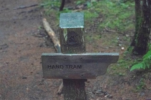
Hand Tram??  What’s this about??

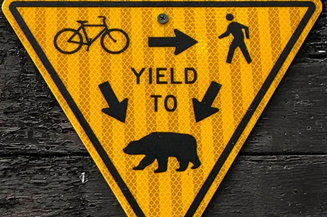
Instructions: Graphic wisdom – as in Hiker beware!


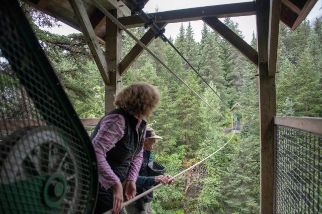
Suddenly the meaning of ‘Hand Tram’ was apparent.  You want over the gorge?  You use the Hand Tram – –

Whose friggin’ idea was this??

Pull, pull, pull, pull.

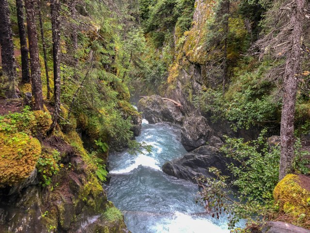
One goes down here if you fall out of the car;-(

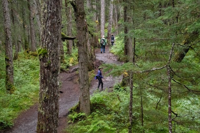
We all made it and continued a beautiful hike – along the creek, through the forrest and over more creeks.

Loser gets wet.

This old bridge has seen some wear and tear.

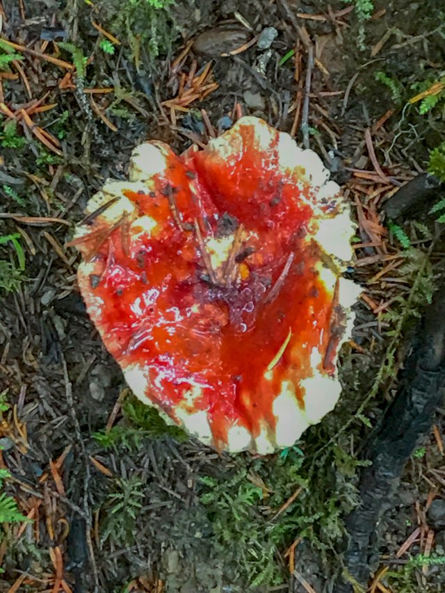
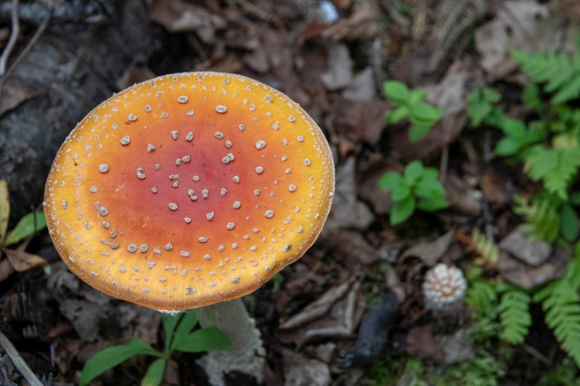
Nature put on a show again..colorful mushroom.

Beautiful rainforest.

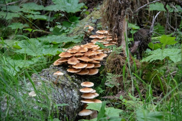
Interesting fungal growths on the trees.

A mooning tree;-)!!

We did make it back for lunch – a most important event.

Just outside Girdwood is a wonderful Alaska Wildlife Conservation Center, which is a sanctuary dedicated to preserving Alaska’s wildlife through quality care for many rescued animals.

Bison taking a post lunch nap.

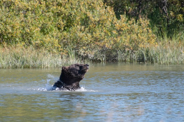
This bear was having a good time playing in the pond.

Grizzly out for a stroll.


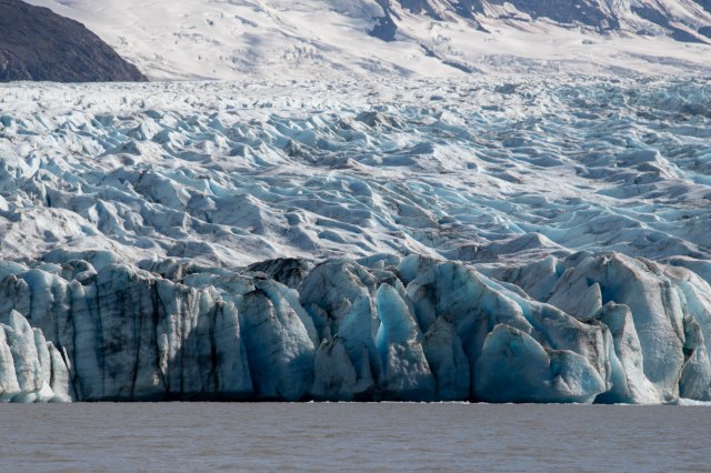
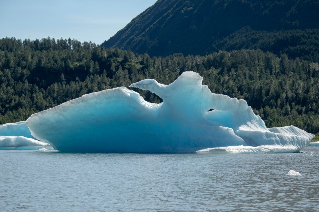
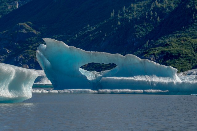
The main event for this particular day was a ‘float’ on Spencer Lake to the base of Spencer Glacier.  All the rain went away and a fabulous day of sunshine gave us excellent views of the glacier and all the ‘ice chunks/bergs’ that have calved from it.
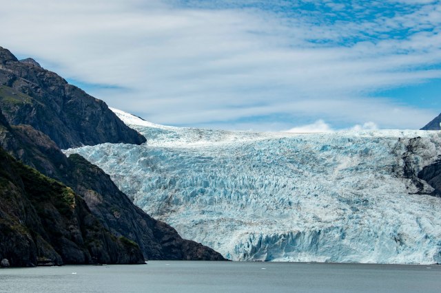
Headed out to Spencer Glacier, which is more than a mile wide.

The water depth at the edge of the glacier is about 400 feet.

Many of the icebergs looked like carved sculptures.

Touching the shelf of one of the icebergs, which extended for some distance under water.

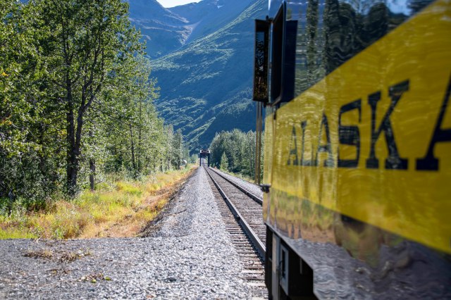
Another day of super activities ends and it is time to return to Girdwood.  Our train awaits – –


One more portion of our trip concludes – with many thanks to the Stinson family for their hospitality and planning of new adventures.

Next up – Our BIG BEAR ADVENTURE;-)

E & G – very excited!!  And – wait ’til you see this next one!!!!!!!!


The Kenai Fjords

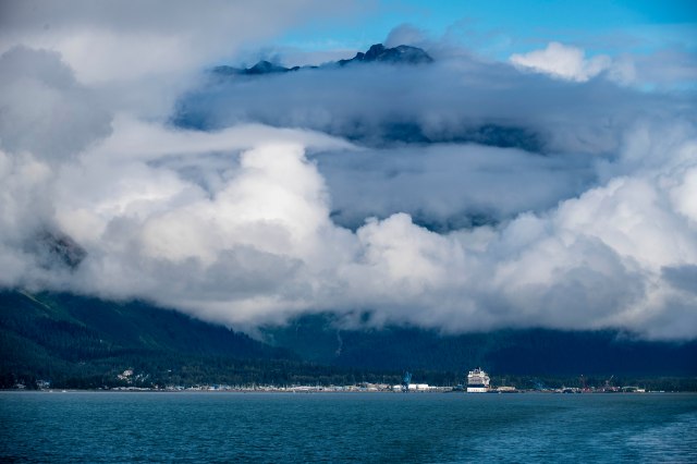
Beautiful Seward – a port city in southern Alaska set on an inlet on the Kenai Peninsula.  It’s a gateway to Kenai Fjords National Park, where more than 38 glaciers flow from the Harding Icefield into coastal fjords that are a whale and porpoise habitat;-)  Kenai Fjords NP was established in 1980, covers almost 670,000 acres and contains the Harding Icefield, one of the largest ice fields in the US!  It is named for the numerous fjords, a long, narrow inlet carved by the glaciers moving down the mountains from the ice field.  Most of the park is accessible only by boat, plane or a hike.  Our option for the day – and a beautiful day it turned out to be – was boat.  Off we go – –

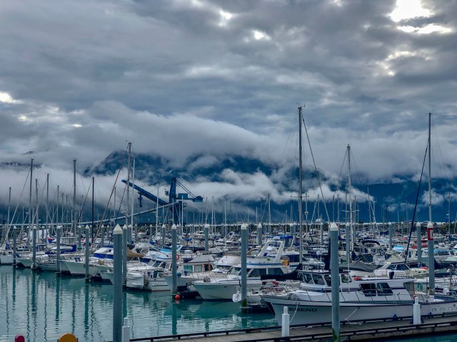
Seward marina – the starting point for a boat tour of the Kenai Fjords NP.


The assignment of the day was to see how many of the 38 glaciers could be seen AND how much wildlife could be seen.

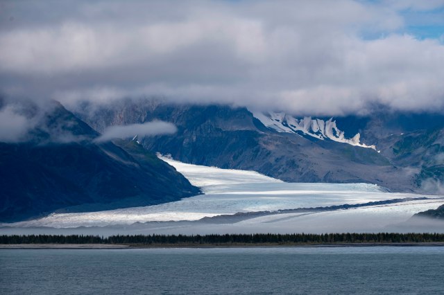
First up – Bear Glacier while leaving port.


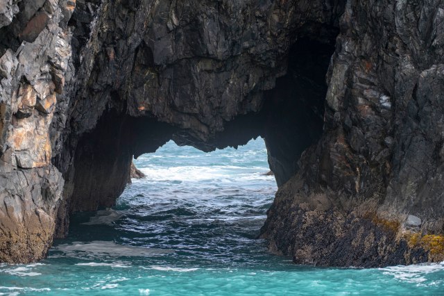
The area around the Chiswell Islands provided some great shots, especially with the cloud cover.

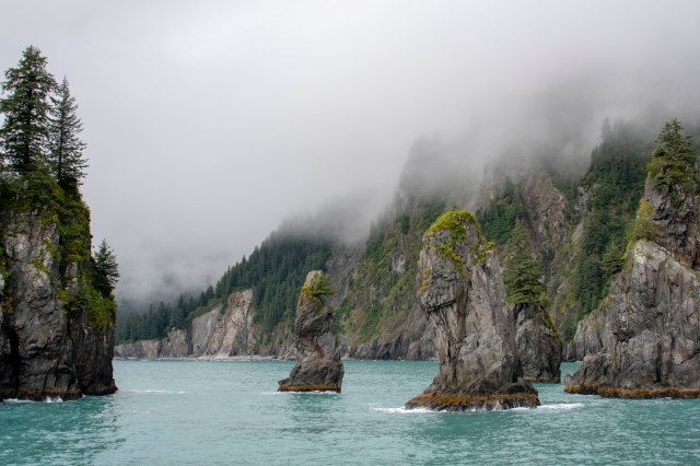
Spire Cove shrouded in clouds created a mysterious look.

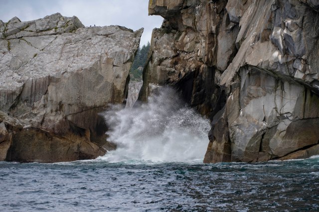
Great water effects created by the wave action.


The various animals were also enjoying a little sunshine – –

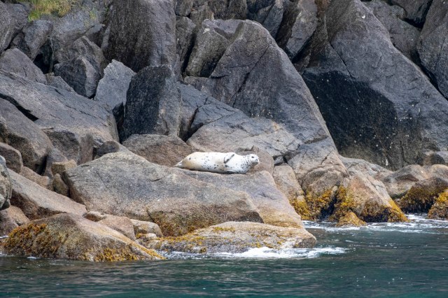
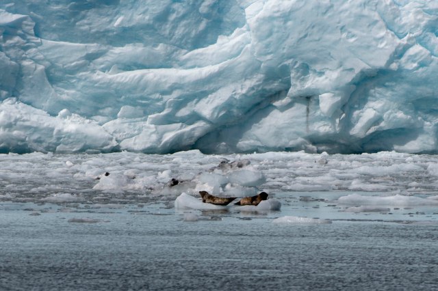
A lazy harbor seal.

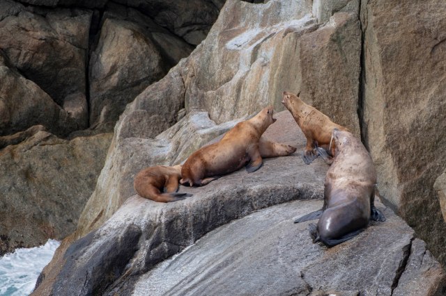
These Steller sea lions were having a noisy turf battle on this haulout.

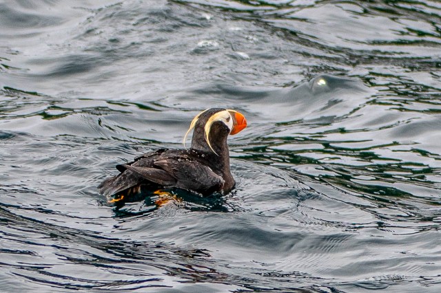
Hard to catch a shot of the Tufted Puffins. They spend a lot of time under water.

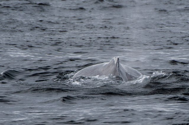
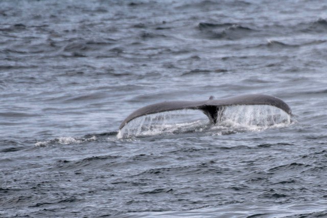
This humpback whale was elusive, just giving us brief peaks.


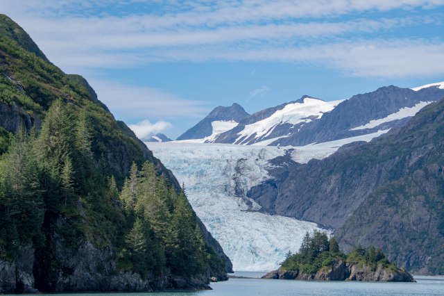
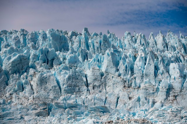
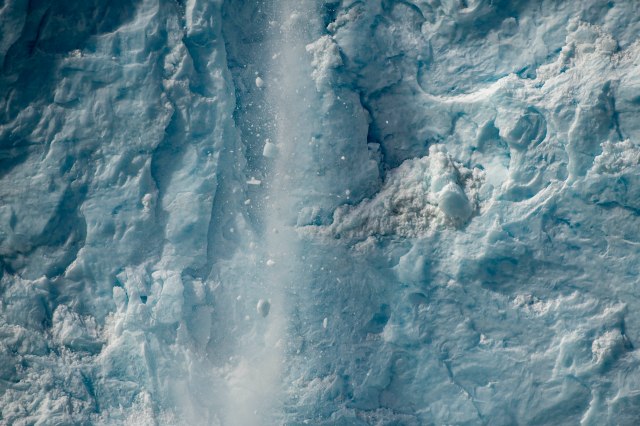
Finally – more of the star attractions – glaciers!  These wonders currently cover only approximately 10% of earth’s land surfaces – but, hold about 75% of the planet’s fresh water!!  Our ‘star’ today is Holgate Glacier – a tidewater glacier flowing directly into the ocean waters.  As it comes in contact with warmer water calving results – massive chunks of glacier rumbling and crashing into the water.  This is ‘the event’ to see at the foot of these glaciers!  Fingers crossed we will see this phenomenon today;-)

Approaching the Holgate Glacier.

Mother nature’s artistry at work.

The seals didn’t seem too concerned about any falling ice.

YEAH!!  Calving – and G captured it!!  (The noise was very loud.)


Glaciers, calving, whales, seals, puffins, beautiful afternoon – what more could one ask for?!?!?

Trip over – returning to the Seward marina.


Again, our few short days in Seward must come to an end and we are off to (re)visit the Stinson’s, including kids and grandkids, in Girdwood;-)

E & G excited for more Stinson family and glacier excitement!!

One Sunny Day…

The weather ‘God’ has been very good to us over the years;-)  So – it was bound to catch up at some time.  It did.  In Palmer.  Rain for three days straight;-(  HARD rain.  Therefore, hiking went out the door and golf was wedged in during a few hours of lighter rain and ONE sunny day;-)  Cleaning, administrative activities (paying bills, making new reservations, etc.) and other mundane activities were also taken care of.  So – a mundane blog posting;-(

There was a discovery or two!  A screened ‘gazebo’  (to help protect us from bugs while eating) was ordered from Amazon – to be delivered in Talkeetna.  Talkeetna came and went with no delivery.  UPS was NO help with rerouting!!  Amazon, however, did cancel the order and immediately refunded our $280😉  After a little investigation, G found a store in Palmer that reported carrying the ‘gazebo’.  Off to the ‘Three Bears’, where the gazebo was waiting for us at $199!!  Just what was ordered – LOTS cheaper.  Thank  you UPS.

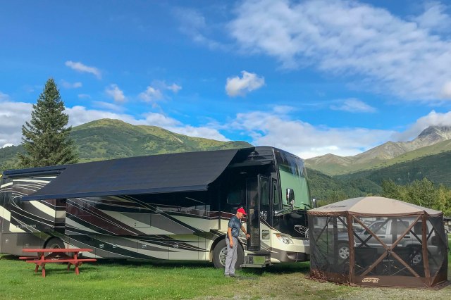
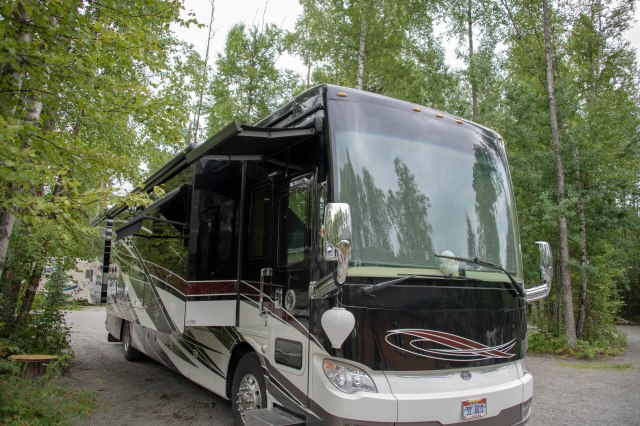
On the fifth day-there was sun to enjoy our beautiful parking spot and new ‘gazebo’.


In all our travels, G has always remarked about how an effective chamber of commerce/PR person turns a city, lighthouse, golf course, etc. into ‘the most/best’ of ANYTHING anywhere in the world!  As we travelled the Oregon coast with its many lighthouses, each and every lighthouse had its ‘-est’ description.  The tallest, shortest, the oldest, the oldest continuously used, the oldest with a certain glass, etc, etc, etc.

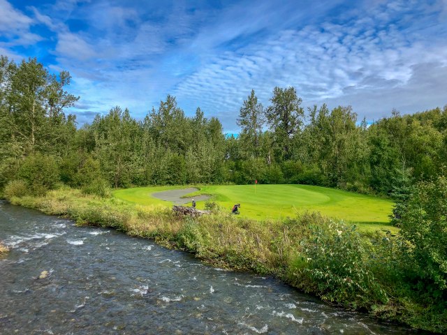
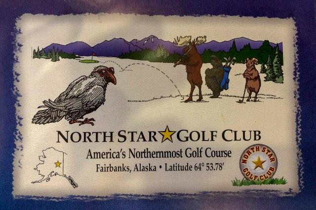
Well – it seems the same is true for golf courses in this part of the world.  One of our bucket list items while in Fairbanks was to play the northern most golf course in the US.  Which we did – playing North Star;-)  Funny – because as reservations were made for tee times in and around Anchorage here is what was found.  First up was Settlers Bay in ‘historic Matanuska-Susitna Valley (Wasilla) – the only residential golf development’!  The course was beautiful and quite fun to play until we were run off on 13 by a downpour;-)

Next up was Moose Run-Creek course at the Joint Base Elmendorf-Richardson.  A beautiful and challenging championship course, which, seems to be the “northernmost 36 holes in the world” AND “Alaska’s only 36 hole facility“!  Who knew?!?!?

A little sun and a LOT of creeks and rivers!

The course was beautiful providing a terrific 8 mile walk. We won’t go into the golf itself.

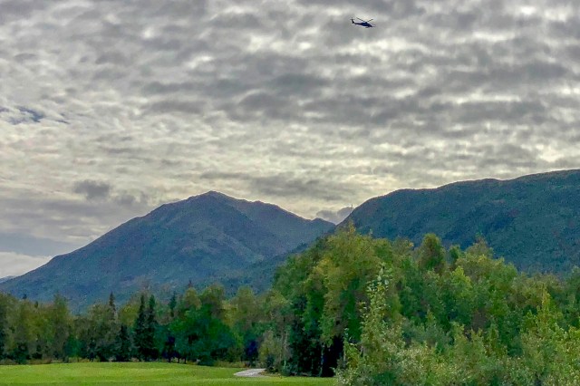
Sound effects were interesting. Helicopter flyovers and the sound of automatic weapons fire provided an interesting backdrop for the day.

Some of the holes seemed to have more “challenges” than fairways.


Well – all caught up on admin, a few more ‘-est’ golf courses under our belt and a new gazebo.  Guess maybe a few days of rain were called for?!?!?!  Now – rain, rain go away!!

E & G still smiling;-)

Talkeetna – A Great Little Town

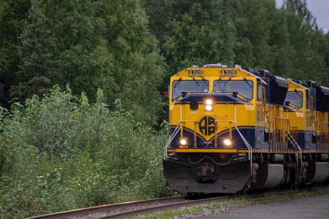
Talkeetna started as a railroad stop, as it remains today!  In fact – the last whistle-stop train in the US goes through Talkeetna.  In case you don’t know – a whistle-stop train is one that is stopped, literally, with a whistle from one standing along the tracks.  Much of the area around Talkeetna is only accessible by boat or the train.  So – it stops where it is flagged down;-)  Fortunately, we could get to Talkeetna in Magic and into a nice little spot for a couple of days.

Magic’s aspen lined spot in the Talkeetna Camper Park – –

 – – Next to the railroad tracks, as everything in Talkeetna is next to the tracks!


Today, Talkeetna is the major staging area for mountain climbers headed to Denali.  It is where climbers from around the world “jump off” to start their climbs.  The historic town of Talkeetna was built by miners, prospectors, adventurers and the Railroad.  It is still laid-back with authentic historic cabins and museums lining the pretty much walking only Main Street.

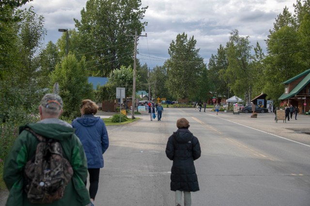
Downtown!  Just a few minutes walk from the campground.

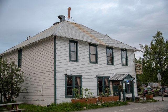
The Fairview Inn, since 1923.’

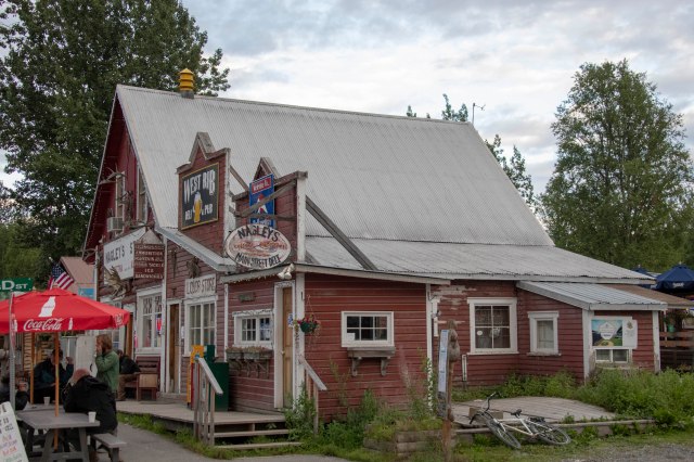
Nagley’s General Store.

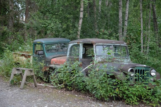
How long have these have been here??

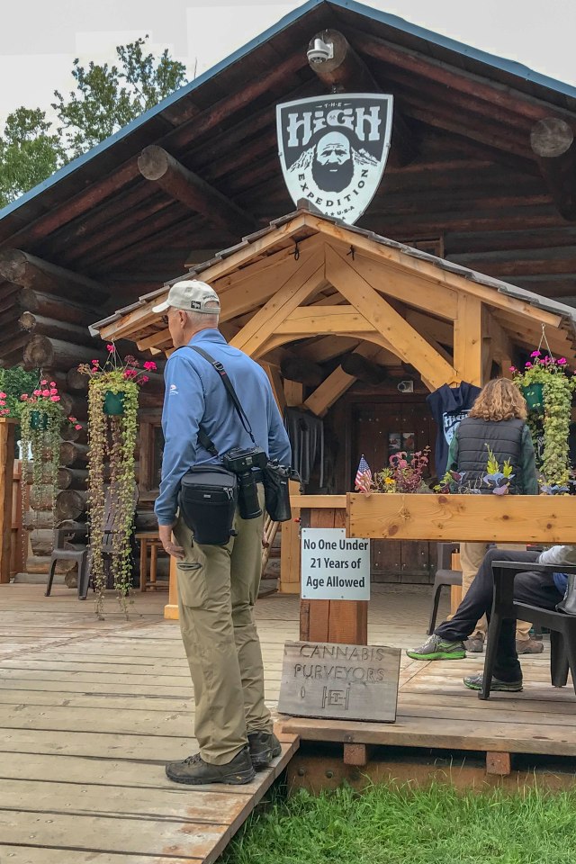
G contemplating a ‘High Expedition’ –  a recent addition to the offerings on Main Street.


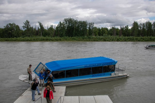
Talkeetna also sits at the junction of three rivers – the Talkeetna, Susitna and Chulitna.  In fact, Talkeetna means “where the rivers join” in the local Athabaskan (native) language.  A stay here would not really be complete without a river trip.  So, we were all off on the McKinley Queen (perhaps needs to be renamed to the Denali Queen now??) and two wonderful, knowledgeable guides all provided by Mahay’s.

And – we are off!

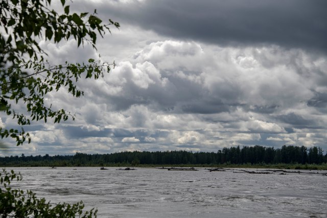
The rivers are shallow (sometimes only 2′ deep) and very fast moving.

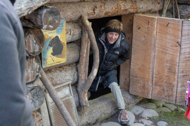
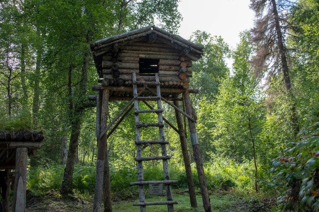
A brief stop took us to a trappers cabin, complete with food cache and fur drying shed, and to a native fish camp.

Good thing G was not a trapper.  He would never get in these old trapper cabins.

Get that food in the cache out of reach of the bears.

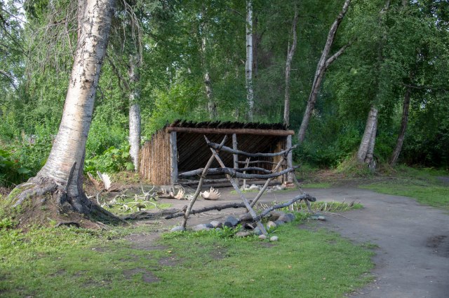
An Athabaskan fish camp including work shed, ‘freezer hole’ and smoking pit.

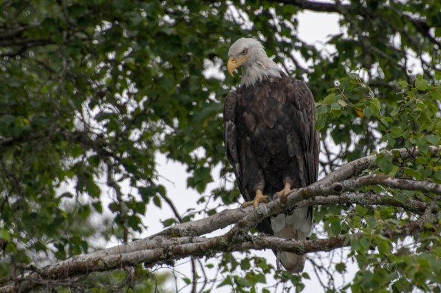
Then we got to G’s favorite!  A very shallow part of the river where the eagles could easily fish.  And we had eagles.  The final count was somewhere around 40!!

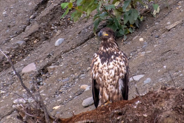
This juvenile bald eagle hasn’t started to grow its white head feathers.  It’s colors are a work in progress.

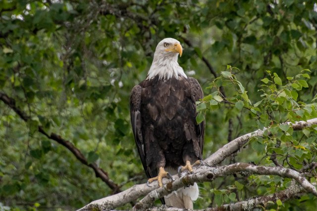
A proud, awesome bird.

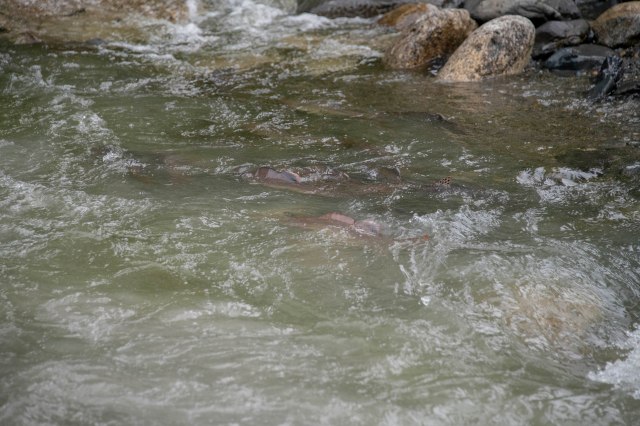
Salmon working their way upriver to their spawning grounds – if they survive the eagles.


One more day in Talkeetna and a hike around X, Y and Z Lakes seemed appropriate.  So, we were off on a perfect hiking day to get our 4 miles in amongst some beautiful scenery.  It seemed that all the animals took a break today – but we saw the most interesting array of mushrooms – and in large numbers!!

Our last day in town we took a hike around Lake X to admire the beauty one more time.

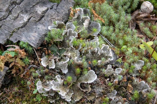
Here are only a few of the many varieties of fungi spotted along the trail.


A farewell dinner this evening at Talkeetna Alaska Lodge and we will all be on our way.  The Stinson’s are going on their way to spend a week with the kids and grandkids before we meet up again for another week and a long awaited experience (you will have to stay tuned for that one!!!!!).  E & G will head to Palmer for a little golf and hiking.

E & G saying good-bye to Talkeetna and the Stinson’s (for now) and hello to Palmer;-)

Denali NP & The BIG Five

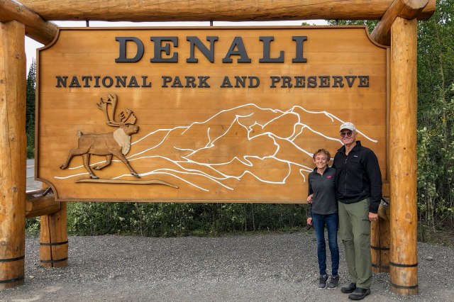
Another 120 miles down the road to Denali NP – now six million acres of protected watershed and home ranges of wildlife populations.

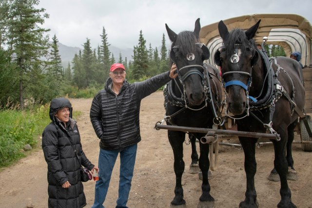
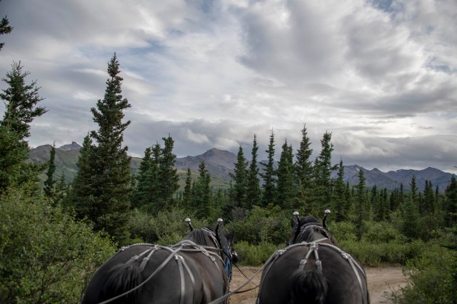
But, before all that excitement, Doc and Wyatt became our new form of transportation pulling this covered wagon to a delicious chuckwagon dinner;-)

E & G and Doc and Wyatt.


G really liked this cloud formation with the “double moons”.


The next day it was into the Park to see if we could accomplish our feat of 8 years ago and see ALL of the Big 5.

Denali here we come.


Thankfully, the park service has developed a wonderful way for the thousands of park visitors every year to see the park without disturbing, plundering or conquering the land.  Buses, with informative and knowledgable guides, are boarded to transport one down the single road through the park into a wonderful world of beauty and animals;-)

For seven hours one sits on the edge of the seat scanning and/or waiting for one of the fellow travelers to shout “STOP – wildlife at 3 o’clock”!  As the bus stops everyone scans the area for that special sighting.  There are 5 animals that one crosses their fingers and hopes to have at least one sighting of each.  Today was our lucky day!!

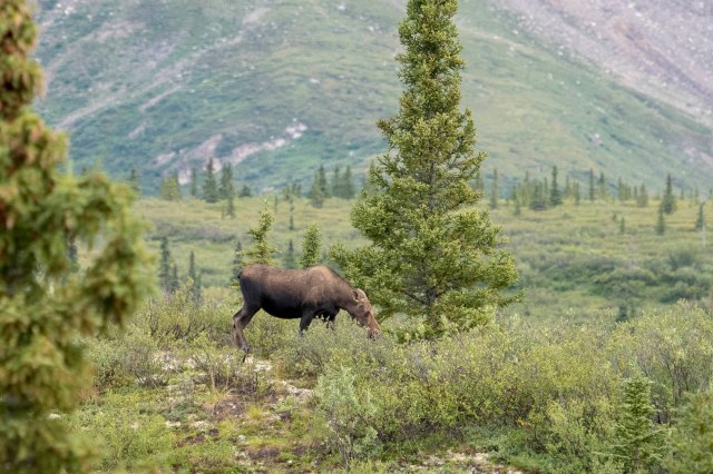
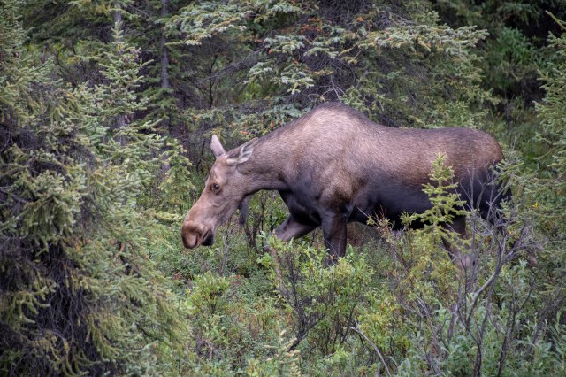
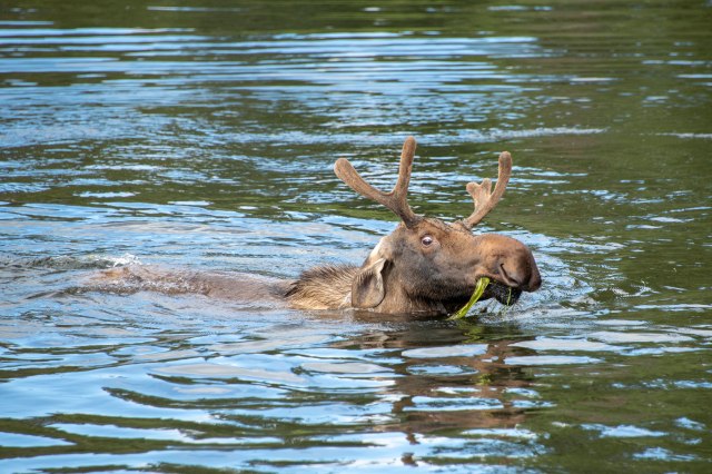
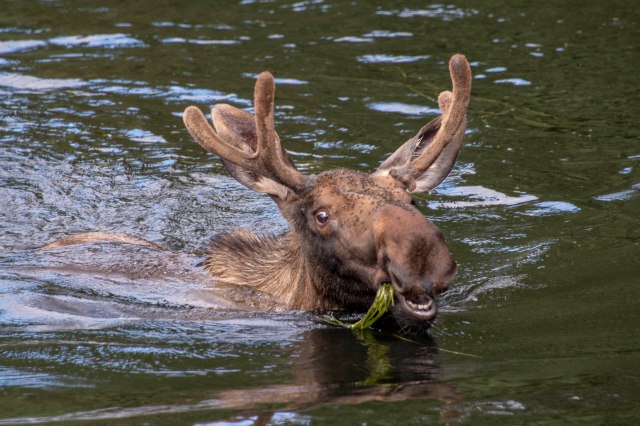
First up – moose.  Barely in the entrance, there they were.  About 1,500 pounds munching their way through breakfast (it was about 7:30AM!).

Moose, check.

A couple of the roughly 2,000 in the park.


Second – grizzlies.  They hibernate from October to April, so at this time of year they are eating madly to build up their winter fat.  Next to wolves, these are the least populous of the animals in the park totaling around 300-350.  While we see a fair number of moose even in Park City, we rarely get to see grizzlies.  So – these guys are really special.  AND, we never get enough of them – especially when there are sibling cubs playing with Mom keeping a watchful eye on them.

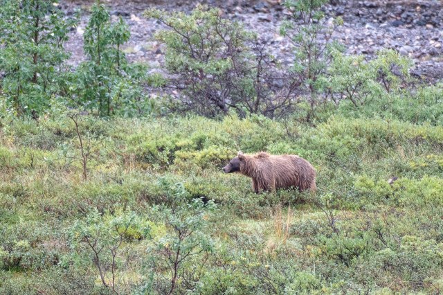
Grizzlies, check.  (Yes, it is a grizzly even though it is black-see the hump on the neck.)

This bear got so close to the bus, it seemed to be looking for a ride.

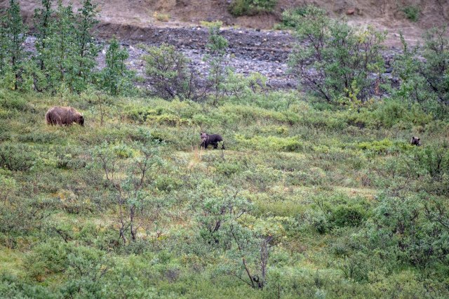
A mother and two cubs grazing in the distance.

OK – where are you two now?  Get over here!!


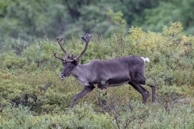
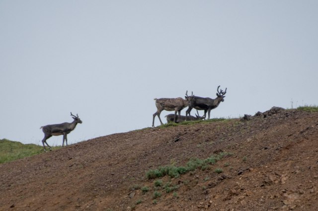
Third – caribou.  Yes – these are the reindeer made famous by Santa.  AND, both the male and female have antlers (the only of the deer family this is true of).  AND, the female loose theirs long after the male making them the pullers of Santa’s sleigh;-)  They roam in groups and favor open tundra and ridgetops.  They are also the most populous of the animals in Denali at around 2,700.

Caribou, check.


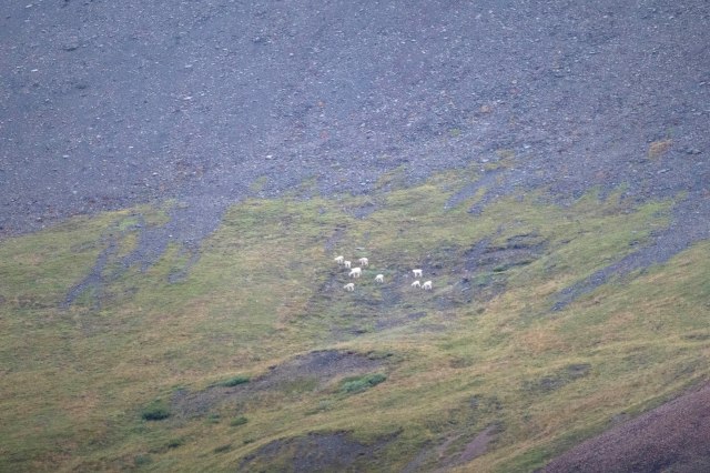
Fourth – dall sheep.  These herbivores eat low-growing alpine plants year-round.  They tend to be in packs – always at long distances from the roads;-(

Dall sheep, check. But, boy, were they a long way off.


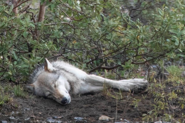
Five – the seldom seen wolf.  These are so seldom seen, as there are only about 70 in the park, that many of the guides now refer only to the animals above – the big 4.  BUT – today was different.  We saw ALL FIVE.  While wolves are highly social and usually live in packs, this guy was off by himself.

Wolf, check. Napping hard after lunch.


There is a number six – Denali, the high one, itself.  Unfortunately, this was a drizzly day so the mountain was engulfed in clouds.  But, perhaps it was this cloudy day that encouraged all the animals to be so active.  Since Denali is over 20,000 feet and seen from as far away as Anchorage, perhaps we will see it another day.
Denali is another of our wonderful National Parks.  Thank you to Charles Sheldon and Adolph Murie for working so hard to see that this land was preserved for us to visit.  It is up to us today to help with the challenges that remain.  Wolves are routinely shot and trapped near Denali.  The climate shifts, the air grows warmer, permafrost melts and habitats disappear.  Visit a NP and help where you can so that we can continue to enjoy!!

With Love to All – E & G loving our NP’s;-)

Bucket List ✅✅

Fairbanks, Alaska – the largest city in the interior region of Alaska, with a population of approximately 100,000 in the greater valley area, is second only to Anchorage.  While the European settlers came to the area around 1901 and established trading posts, there is evidence of native activity dating back 10,000 years!  Arrowheads excavated from the University of Alaska Fairbanks site matched similar items found in Asia, providing some of the first evidence that humans arrived in North America via the land bridge.  More recent settlement activity included trading posts and gold prospecting in the early 1900’s, the Ladd Army Airfield (now Fort Wainwright) beginning in 1939 and the construction of the Haines-Fairbanks 626 mile long petroleum products pipeline in the mid-50’s.

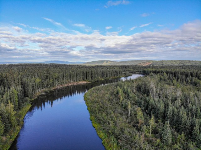
So – here we parked on the banks of the Chena River for 4 days and met up with friends, Linda and Jim to explore;-)  The drone was up again to give a birds-eye view – –


A drive to Chena Hot Springs, naturally hot water discovered by weary miners to soak their tired limbs, provided a full day’s worth of amusing pictures – –

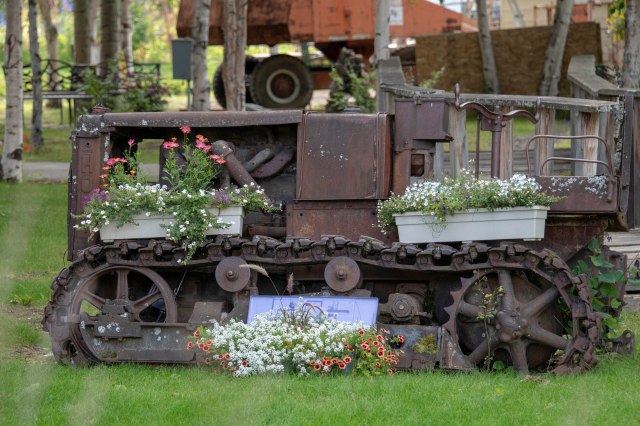
Don’t know how this got here – or WHY?? – but there it was!

Every piece of old equipment was turned into a flower box;-)

Ran into this guy on the return trip.  He provided amusement for 1/2 an hour!!

I’ve got my eye on you!  DON’T come any closer!!

I’m watching – –

– – Still watching – –

– – I’m still watching you – but, these flies are driving my CRAZY!!


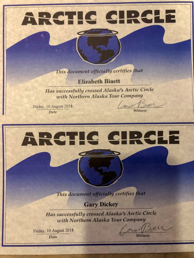
Located just 196 driving miles south of the Arctic Circle, Fairbanks provided the ‘jumping off spot’ for us to fulfill another Bucket List item – going to the Arctic Circle – at the only spot where it is accessible in the United States.  The Arctic Circle is the northernmost point at which the noon sun is just visible on the December solstice and the southernmost point at which the midnight sun is just visible on the June solstice.  It is located at 66 degrees 33′ north of the equator.  And – at 7PM we were off – –

Here we go with 6 ‘friends’ and our pilot Todd.

Just crossing the Arctic Circle;-)!!!

Beautiful views on a BEAUTIFUL evening – the Yukon River below.

Todd got us to Coldfoot – just north of the Arctic Circle.

This was NOT just a trip to the Arctic Circle and back.  There was also a ‘brush’ with a little visited National Park – Gates of the Arctic NP – the northernmost NP in the US situated entirely north of the Arctic Circle.  It also provided views of the Trans-Alaska Pipeline System (TAPS), which includes the trans-Alaska crude-oil pipeline, 11 pump stations, several hundred miles of feeder pipelines and the Valdez Marine Terminal.  The pipeline was built between 1974 and 1977 after the oil crises and utilized special construction techniques in order to deal with the permafrost.  The Dalton Highway was also created to transport supplies.
The Alaska Pipeline – much of it above ground in order to deal with permafrost.

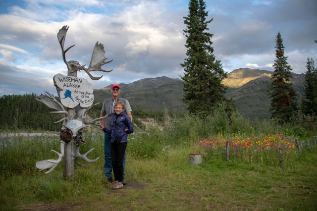
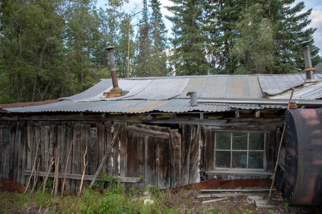
A visit to Wiseman was also on the agenda.  A small (population 17) former mining community along the Middle Fork Koyukuk River in the Brooks Range, Wiseman provided a close look at life ‘off the grid’ above the Arctic Circle.  No hot water, outhouses only and wood stove or solar heat sources.  Neither E nor G would ever make it here!

Wiseman – 63 miles above the Arctic Circle

In the winter, a thick layer of snow is piled up against the cabin walls to provide insulation against the -50 degree temperatures.

The only fuel stop on the Dalton Highway between Prudhoe Bay and Fairbanks!
The Coldfoot, Alaska truck stop – fuel, dinner, supplies and a room (if you need one).

Our midnight sunset;-)

WE DID IT!!


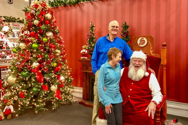
For a little humor between ‘Bucket List’ items, North Pole was visited.  (Actually – our campground was in North Pole!!)  Santa is here year round to talk to all good little girls and boys;-)

Santa apparently did not believe we were good?!?!?!


Back to the ‘Bucket List’.  The northernmost golf course in the United States is the North Star Golf Club in Fairbanks.  So – off the four of us went to give it a go and a really fun time was had by all – –

What a crew;-)


It has been a great four days with the Stinsons and fantastic that we have been able to accomplish two super ‘Bucket List’ items;-)  Now that VERY large mountain – Denali – is calling.  So, pack it up and head a little south to see what is in store.

E & G feeling very happy at having accomplished TWO ‘Bucket List’ items and seeing a little visited NP☺️👏

Lonely Stretch of Highway
Here we come Stewart-Cassiar Highway.  So bring on the scenery;-)

First up is the Glacier Highway 37A to Stewart – Canada’s most northerly ice-free port – and Hyder, Alaska – the friendliest little ghost town in Alaska.  One must head over Bear Pass in this coastal mountain range with over 20 hanging glaciers visible from the road.  And what beautiful sights they provide – –
One of 20 visible large glaciers.


The whole point of coming to Hyder is to visit the US Forest Service built viewing area to watch grizzly and black bears feed on salmon.  The good news this visit is the salmon just arrived!  The bad news is the salmon JUST arrived and the word had not spread to the bears;-(  So – the salmon and beavers provided the show – –

We went to the Fish Creek at Hyder, AK to watch for bears…

…but only found a very industrious beaver.


Back to the Stewart-Cassair Highway to a stopping off point for a night – Mountain Shadow RV Park, a very nice park in the middle of no where near Iskut.  On the way – more bridges;-)

Quackers has a good view of all the bridges.


There is not much along this stretch of road – except beautiful scenery!  No other civilization as we are now in the Yukon Territory – an area about the size of 1 and a half California’s with a population of the greater Park City area!!!  There are great overnight spots, though.  Especially Cottonwood RV Park – –

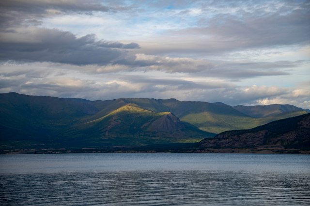
Magic’s spot on the shore of Kluane Lake near Destruction Bay, Yukon Territory.

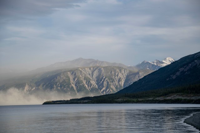
The views from this spot were marvelous.

A sandstorm was brewing at the far end of the lake. 

G in no way agrees with this sentiment….Wellllll, maybe every once in a while.

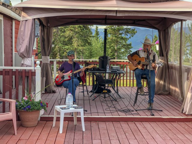
We had great fun watching this couple perform during our brief stay.


One night stays are on the calendar for this stretch of road – so off again.  At least we got some bear sightings (as there is NO phone or internet coverage for 4 days now!!)

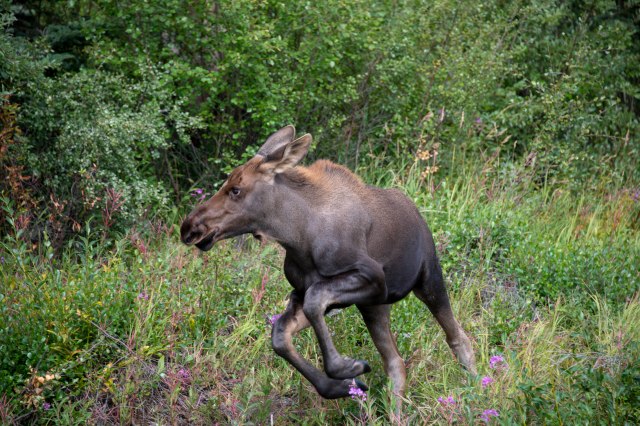
Siblings playing  hide and seek.


FINALLY!!  Alaska here we are.  Tok was ‘home’ for a couple of nights so we could take a day to drive to the infamous Chicken, Alaska.  What a kick – –

Just had to check out Chicken to see what all the talk was about.

We had a lunch of Chicken pot pie and chicken soup at the Chicken Creek Cafe.

This old relic is a dredge used to find gold during the Alaska Gold Rush.

This newer relic is a portable stage used during the annual Chicken Music Festival.

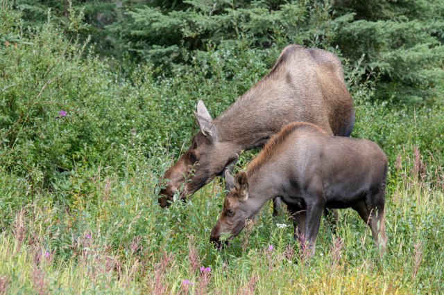
Best of all, this moose cow and calf made themselves at home near our lunch spot.


What a week!  The moose and grizzlies finally decided to show themselves, we stayed at a couple of RV parks with beautiful views and really fun entertainment and now we are FINALLY in Alaska and have internet and phone connections again!!  Thus – a blog posting;-)

E & G – Ready for what Alaska will bring

Port Edward – and a Little History

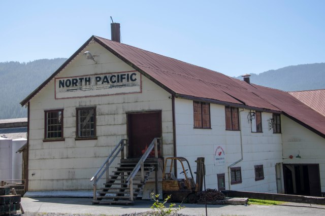
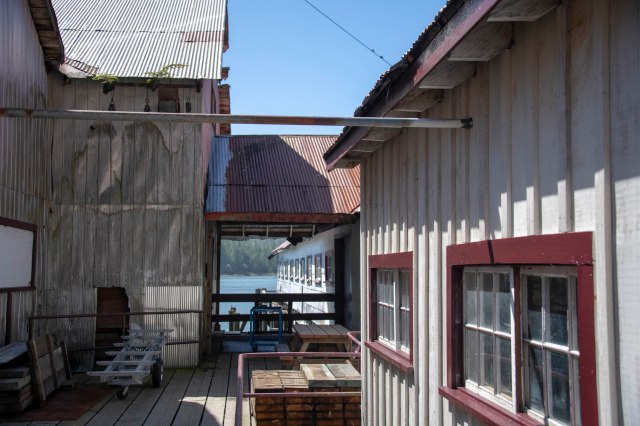
Just 20 miles from Prince Rupert is the village of Port Edward.  Now home to 544 people, but for the prior century it was home to several thriving fish canneries which provided thousands of jobs to a multicultural work force.  The area’s history lives on at the North Pacific Cannery National Historic Site – a collection of wooden, tin-roofed buildings spread along a tidal river bank connected by a series of boardwalks.  A guided tour here is well worth the money to learn the cannery’s history.  G’s pictures can give a good flavor of the site – –

The North Pacific Cannery – now a historical museum.

Some of the contents were both historically and photographically interesting.

G loves taking pictures of old, colorful stuff.

Each Ethnic group had their own net loft.  This was the First Nations.

Based on the condition of many of the parts and much of the equipment, it is hard to believe this cannery was actually utilized until the mid-1980’s – –

Spare cables, ropes and machinery parts were everywhere.

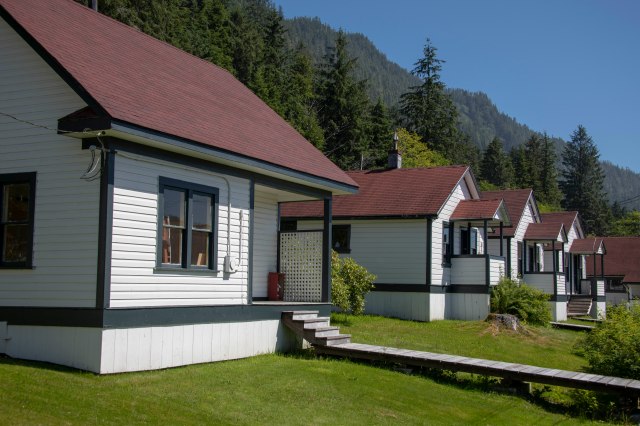
While the workforce was multicultural, as was typical of the early to mid 1900’s, the ethnic groups were separated and there was a definite hierarchy.  The First Nations people came seasonally to work and brought their families.  Each individual worked – including the young children.  Each family was housed in a small square (approximately 10’x10′) single room ‘box’ with a hole in the corner to act as a toilet.  While a couple of these ‘rooms’ have been reconstructed – the picture below indicates how the row looked in the early 1900’s – –

Quarters provided the workers from the First Nation tribes. Small and cramped.

The European men came – not with families – and had significantly different types of living quarters.  They also had a mess hall and store on their side of the grounds.

European workers ‘spacious’ quarters a short walk to the ‘European only’ mess hall.

The fuel pump house – separate from the main cannery to eliminate potential fires.

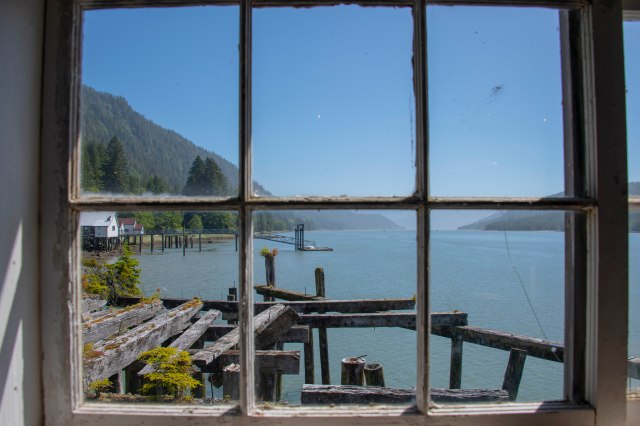
Many of the original pier structures are still visible on the site.


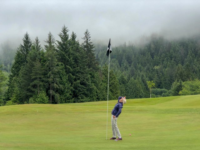
The last day in Prince Rupert was spent on the golf course.  It was quite interesting to be playing in a north coast rain forest;-)

The Prince Rupert Golf Course – located in a rain forest.

Several of the holes had blind shots to the green requiring veeerrrry tall flag poles.


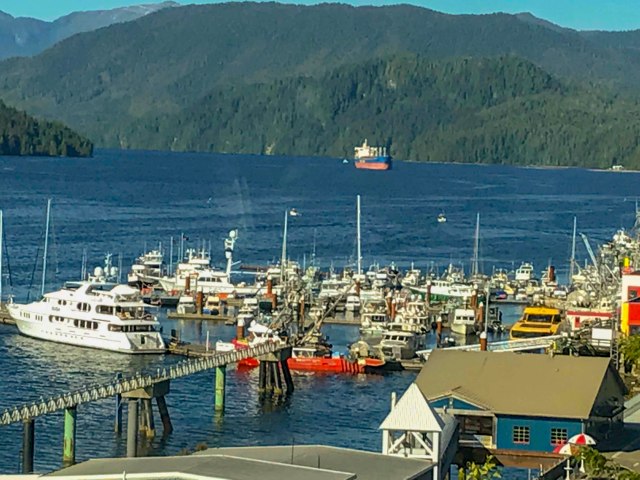
The Waterside Restaurant at the Crest Hotel provided a wonderful last night supper in Prince Rupert – with a fabulous view of the harbor.  We spent the entire time of our meal watching an eagle enjoy their fish dinner;-)

Our dinner table view of the Prince Rupert Harbor.


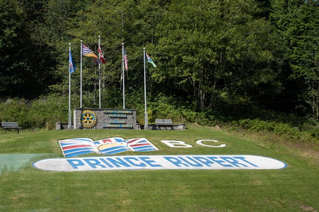
Price Rupert provided a wonderful three days, but it was time to hit the road again.

E & G heading on up the Cassiar Highway


Another Princely City – With Wildlife!


Prince Rupert – currently a booming little port city of about 12,500 in the heart of the North Coast’s lush rainforest as well as the center of territory traditionally claimed by the Tsimshian First Nation.  It is also at the mouth of the Skeena River, one of the longest undammed rivers remaining in the world, which dumps into the Pacific Ocean a few miles west.  Its deep water harbor was touted as a future site for a world-class port in the early 1900’s by the city’s founder, Charles Melville Hays.  Hays was also the president of the Grand Trunk Pacific Railway, so had the means to make his dream come true.  Unfortunately, after Hays obtained financial support in England, he decided to return to North America on a new ocean liner – The Titanic.  The dreams for the Prince Rupert world-class port went down with Hays and the fledgling city instead evolved into just a mainstay of the fishing and boatbuilding industries.

The early 1940’s brought troops as Prince Rupert became a staging area for Allied troops and munitions on their way to the Aleutian Islands.  Today – almost 100 years after Hays’ efforts – there is a major investment movement to grow the city into his dream.  It is the shortest ocean link between North America and Asia (by 3 days), it has ice-free anchorage and the rail goes right to the harbor making it an easy sell for a world-class port.  As a result, The Prince Rupert Port Authority has spent the last decade encouraging the development of a multi-crane container port.  We shall see what the future holds.

In any event, the area around Prince Rupert is known for wildlife and fish.  The Khutzeymateen Grizzly Bear Sanctuary is just about 30 miles northeast of  town (as the eagle flies!) and was created in 1994 as the first area in Canada to be specifically protected for grizzly bears and their habitat.  It is situated at the end of Khutzeymateen Inlet and includes a lush estuary at the base of rugged mountain terrain.  When the tide is out, the grizzles come down to feast on the exposed protein rich grasses from about mid-May to the end of July.  Then they head to the salmon rich rivers to feast before hibernation.

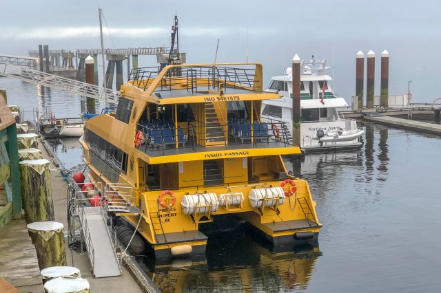
July 28th we were off on the last tour of the season by Prince Rupert Adventure Tours (awesome tour) to see these guys in their habitat.  WHAT A DAY!!!  The pictures will tell the story – but not as good as being there;-)

We traded Magic in for the day;-)

The floating lodge for overnight stays.   Thank goodness we opted for the day trip.

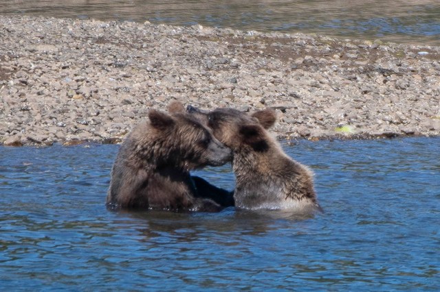
A little sibling roughhousing.

Gotta go. Time for lunch!

Who knew this grass is a staple in the grizzly’s diet – 25% protein.

Moved on to watch this guy for a while.


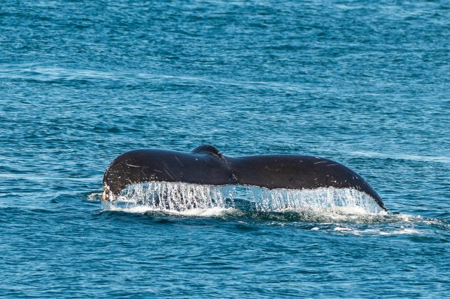
After about three hours in the Khutzeymateen Sanctuary, it was time to think about a return to Prince Rupert.  BUT WAIT!  There was more.  Chatham Sound is an important stop on the feeding and migratory routes of several species of whale, including orcas, humpbacks and greys.  Today the humpbacks gave us a show – –

Seemed like they just wanted to show off for us!

Ahhhhh!  Just Perfect;-)


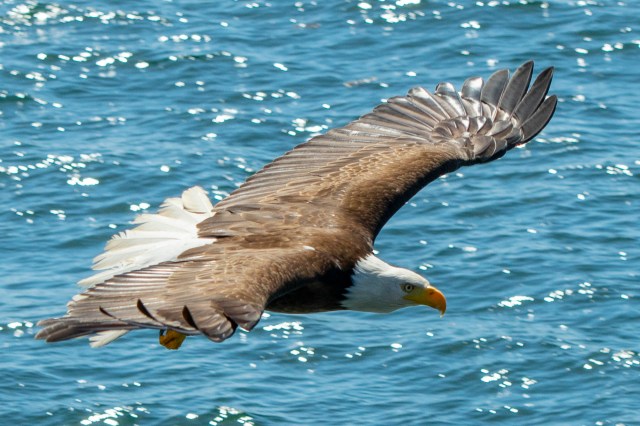
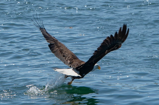
One more thing.  An incredible display by local eagles – again just for us – –

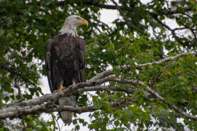
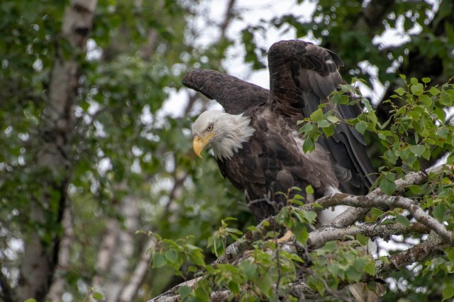
Couldn’t get enough of the bald eagles. So now let us bore you with lots of photos.

What an awesome day!!  We specifically came to Prince Rupert for this adventure and are sooooo happy we did.  If you are ever in this area – don’t miss this adventure.  It was well worth the money and Adventure Tours did everything to make it special.

In total awe – E & G with spinning heads;-)